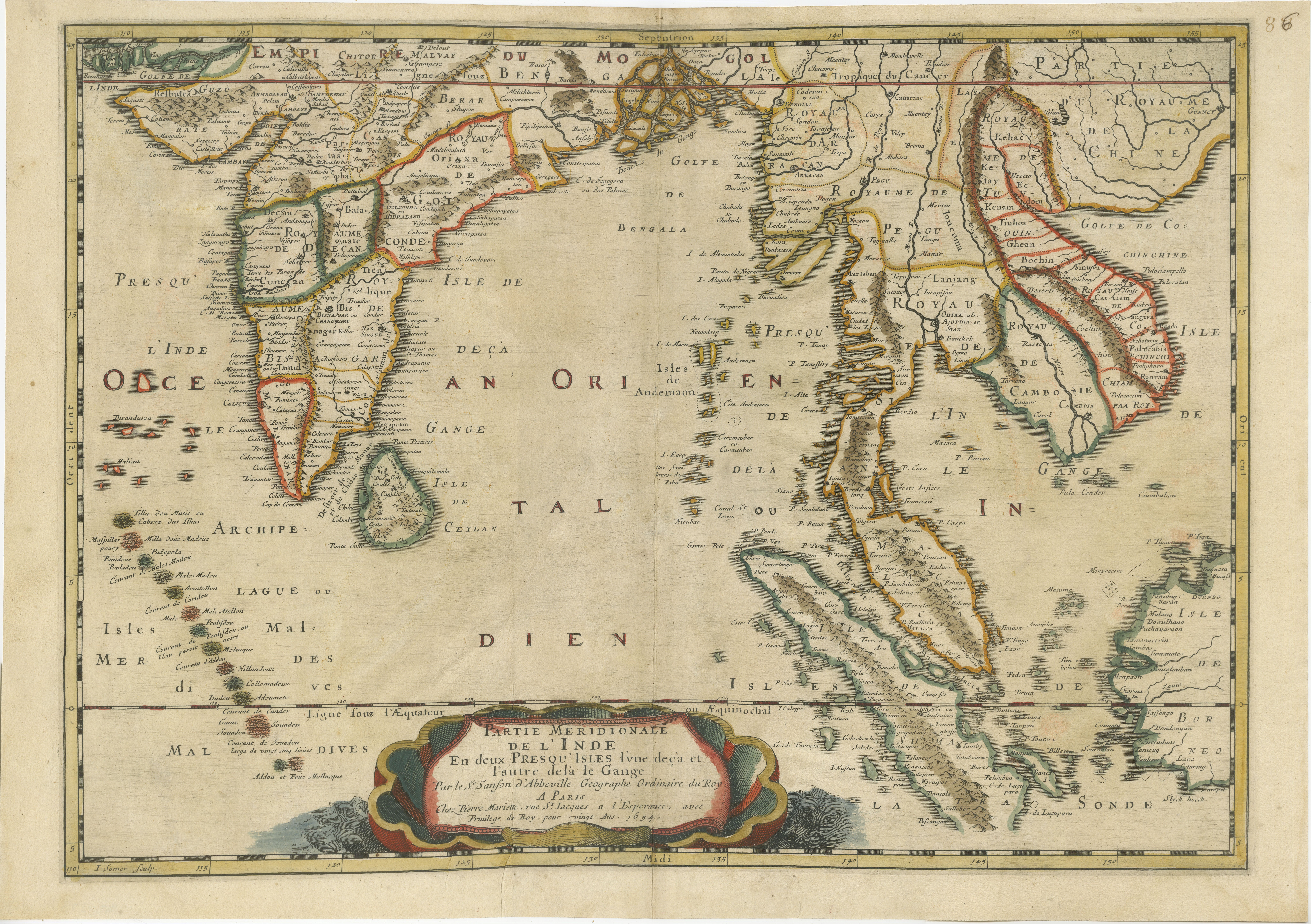
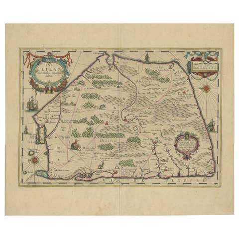
1654 Nicolas Sanson Map of Southern India and Southeast Asia
€ 1 100
One of a kind: this is the sheet in the photographs. Ships from Langweer, the Netherlands.
Date
1654
Sheet size
40.6 × 57.6 cm (16.0 × 22.7 in)
Condition
Good
Reference
BHZ11273
Condition
Overall, the map is in very good condition for its age, with vibrant hand-coloring and clear detailing. Light toning, minor edge wear, and a central fold are present but do not detract from the overall visual appeal.
About this sheet
1654 Nicolas Sanson Map of Southern India and Southeast Asia - Partie Meridionale de L'Inde
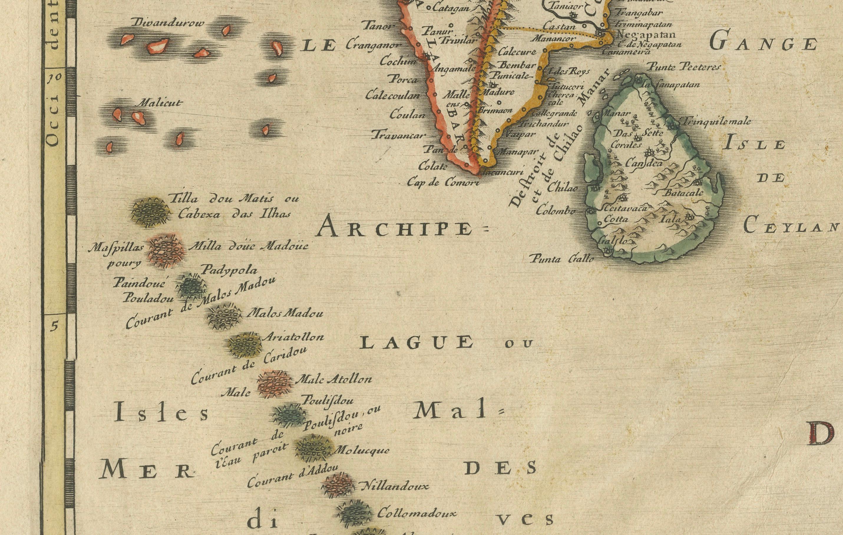
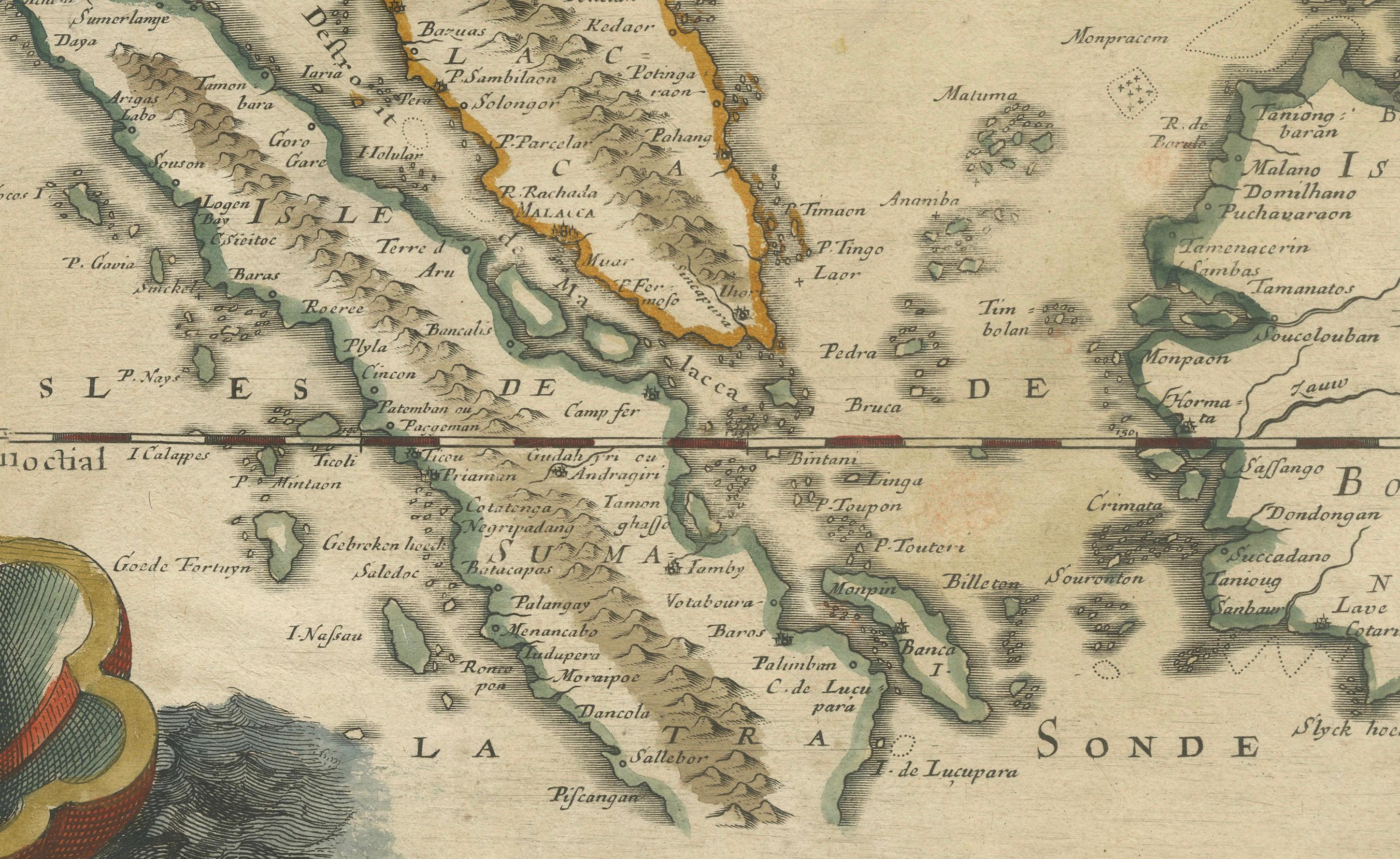
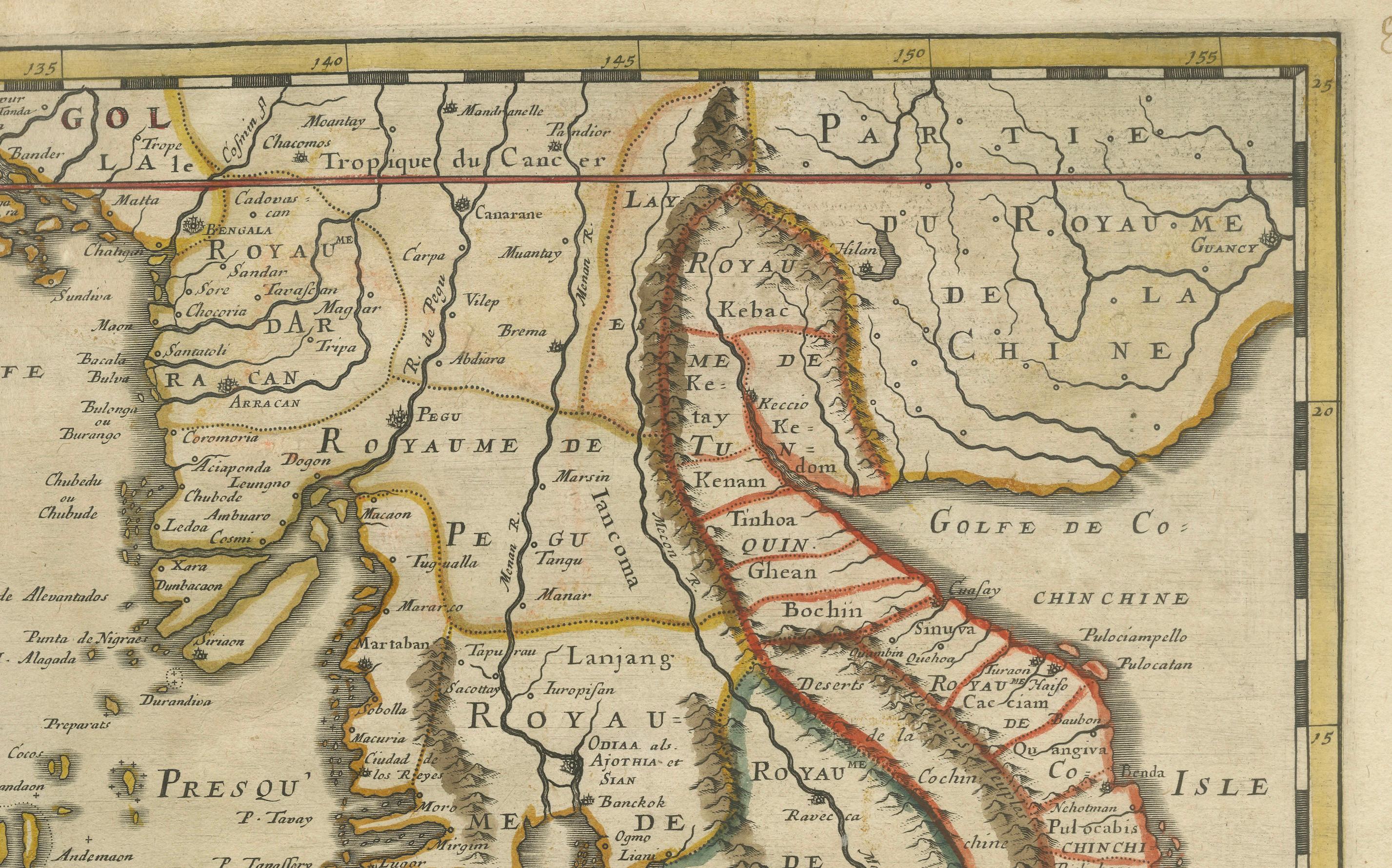
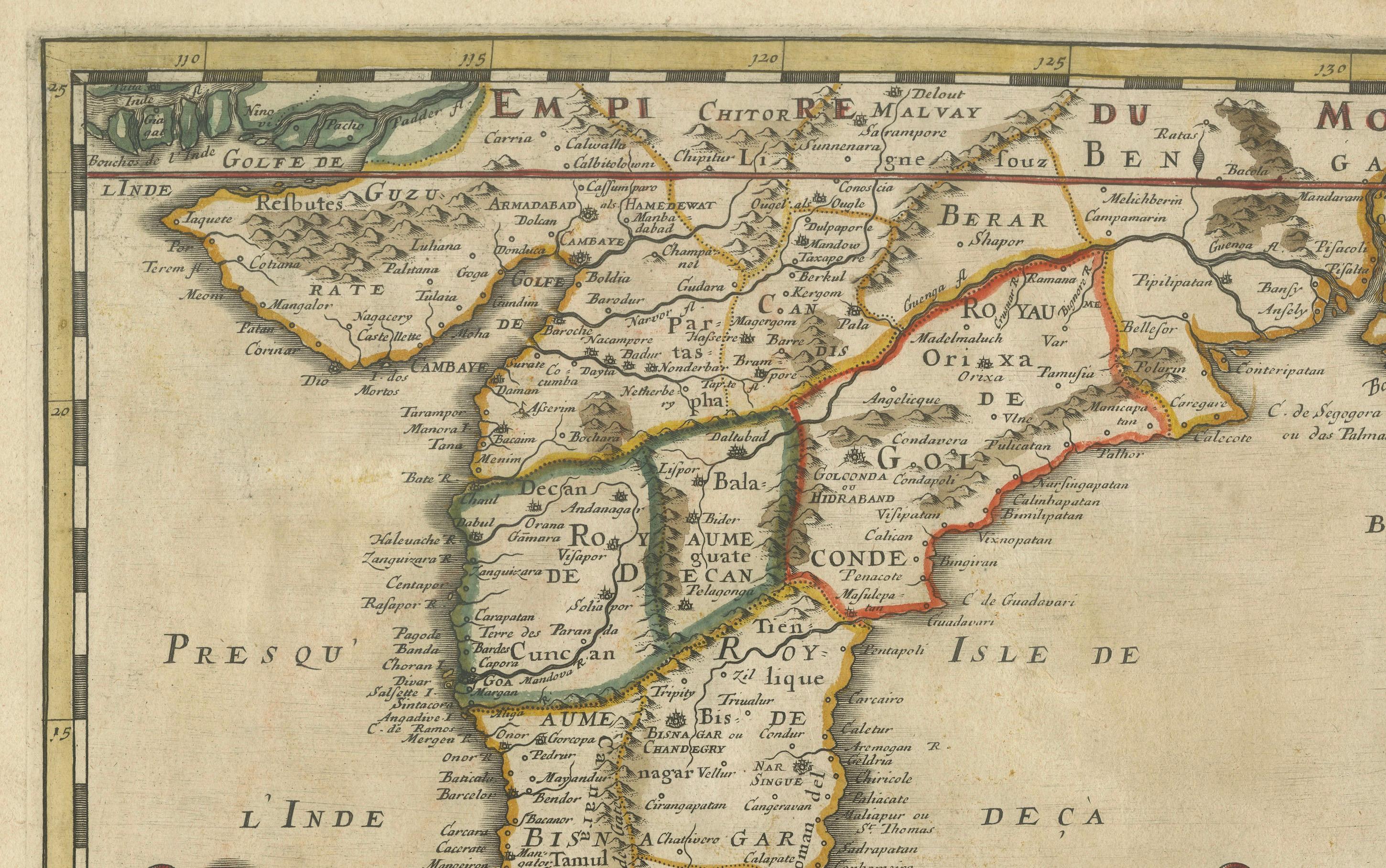
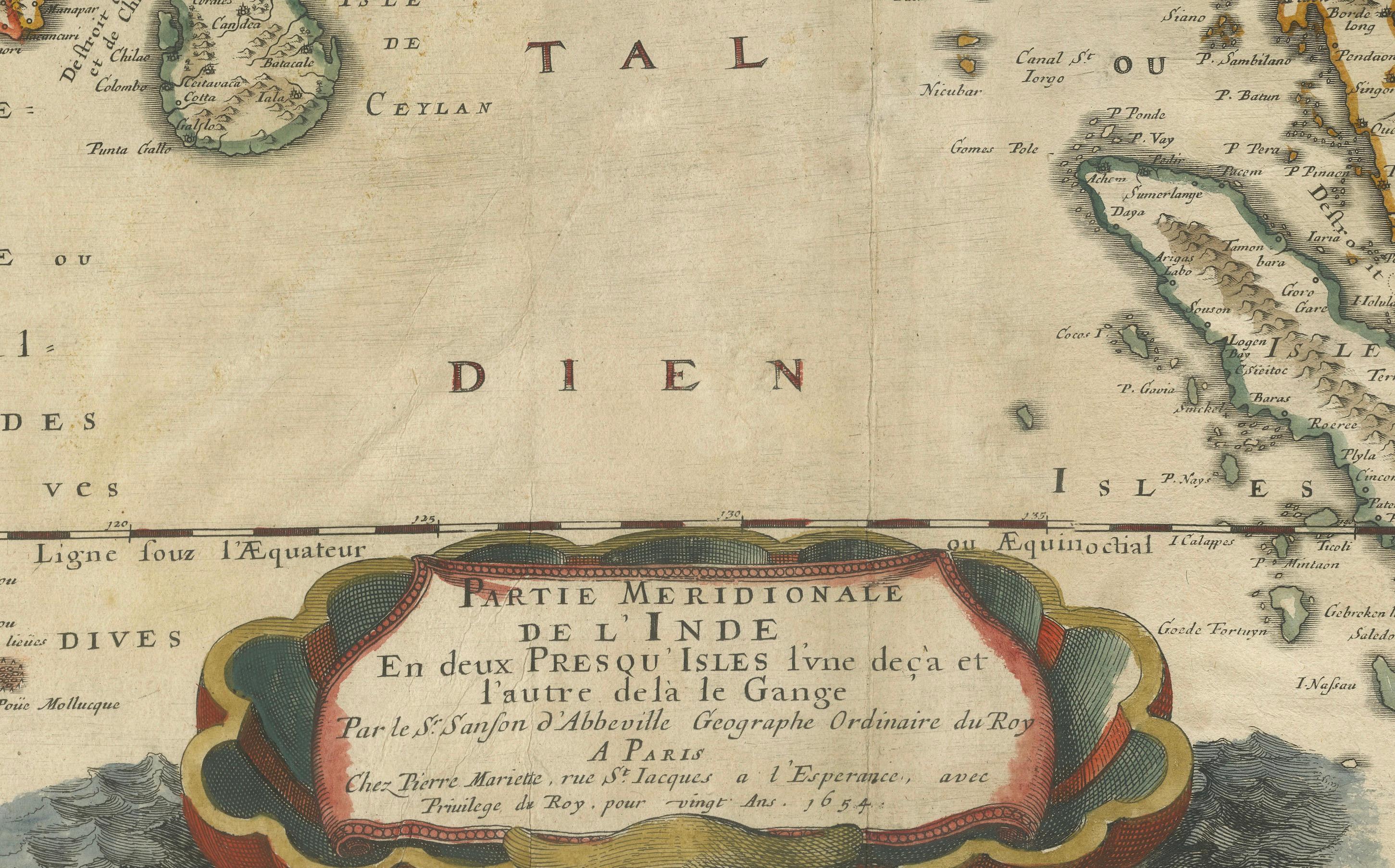
This 1654 map by Nicolas Sanson, titled "Partie Meridionale de L'Inde en deux Presqu'Isles l'une deça et l'autre de la Gange," depicts Southern India and Southeast Asia, including the Malay Peninsula, Sri Lanka, and the Gulf of Bengal. This map provides a detailed view of the geographical and political divisions in the mid-17th century, showing key regions, cities, and coastal features.
The map is hand-colored, highlighting major regions and boundaries with detailed notations about place names, ports, and other geographic features. It includes parts of the modern-day countries of India, Thailand, Myanmar, Cambodia, and Malaysia, along with the surrounding seas.
The decorative title cartouche is located at the bottom, with intricate border designs that add a touch of artistic elegance to the map. This map was published by Pierre Mariette in Paris, under the privilege of the King of France. Sanson, known as the "father of French cartography," played a major role in elevating mapmaking in France during the 17th century. His maps were noted for their accuracy and elegant style, and this piece is no exception, providing valuable historical context for the geography of this part of Asia.
Condition Report:
- Paper Quality: The paper is stable, though there is some age-related toning throughout. - Coloring: The original hand-coloring remains vibrant, clearly delineating regions and features. - Edges and Margins: Margins are intact, with minor wear and some slight toning. - Folds and Creases: A vertical fold runs through the center, typical of its original binding, with minor creasing but no significant damage. - Cartouche and Details: The decorative cartouche and geographic details are crisp, with no significant smudging or fading.
Summary Condition: Overall, the map is in very good condition for its age, with vibrant hand-coloring and clear detailing. Light toning, minor edge wear, and a central fold are present but do not detract from the overall visual appeal.