About this sheet
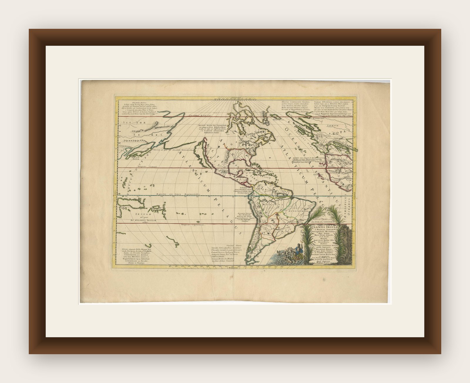
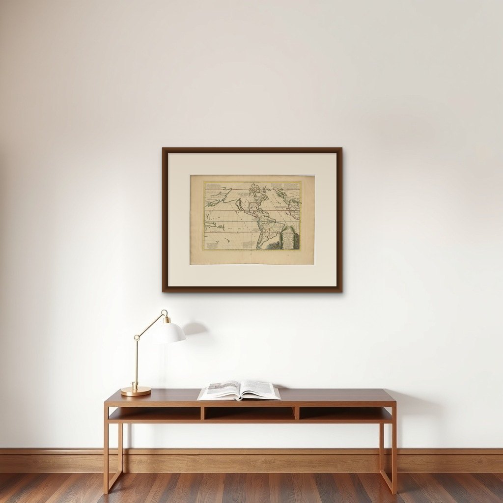
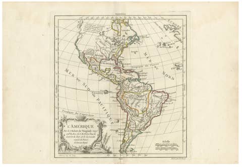
This rare and fascinating map, titled "Atlantis Insula a Nicolao Sanson Antiquitati Restituta" by Guillaume Sanson, presents an unusual interpretation of the Western Hemisphere, combining ancient geographical theories with the evolving understanding of the New World in 1694.
It serves as both an intriguing artifact of early cartography and a glimpse into how explorers and geographers of the 17th century tried to reconcile the mythology of Atlantis with the actual discoveries of new continents.
The map was published in Sanson's renowned Tabulae Geographicae, Quibus Universa Geographia vetus Continentur, which aimed to provide insights into both ancient and modern geography.
What makes this particular piece unique is its representation of the Americas under the guise of the mythical island of Atlantis. In the cartouche, Sanson states that this continent is Atlantis, a concept inspired by ancient accounts, particularly Plato's description of the lost civilization. The Americas are divided into ten regions, each named after one of Neptune's ten sons. This fascinating combination of myth and reality showcases the ways in which European cartographers attempted to synthesize ancient lore with their contemporary geographical knowledge.
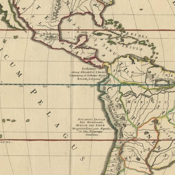
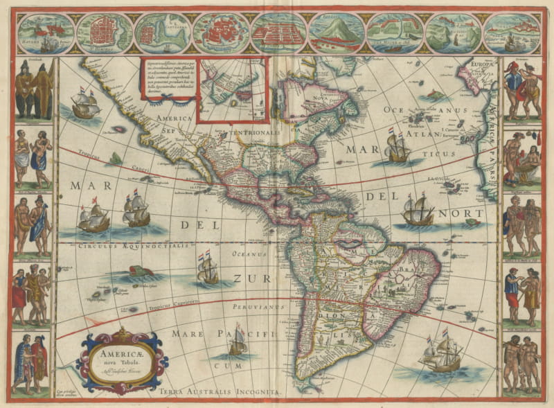
The map is purely topographical, focusing on landforms without providing detailed names of cities, towns, or other human settlements, with the only cities depicted being the ancient capitals of the Americas—Mexico City and Cuzco. These cities represent the heart of the Aztec and Inca Empires, respectively, reflecting the European fascination with these powerful and mysterious civilizations.
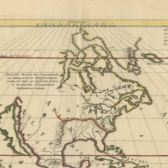
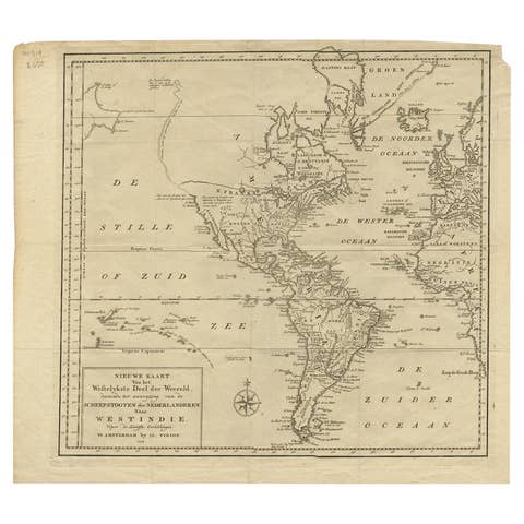
The map features the Great Lakes, albeit in a distorted form, showcasing how knowledge of the interior of North America was still being developed. Additionally, there is a large, mysterious lake located in the western part of North America that acts as the source of a river flowing into the Pacific, hinting at the speculative nature of many early maps, especially regarding inland areas that had yet to be thoroughly explored.
Another interesting element of the map is the inclusion of the coastlines of Europe, Asia, New Guinea, New Zealand, and Australia. These additions reflect the curiosity and ambition of European explorers to chart as much of the known world as possible, juxtaposed against the mythical land of Atlantis. The representation of California as an island, a popular misconception during this period, is present on this map, underscoring the intriguing inaccuracies that persisted in early cartography.
The map's large decorative cartouche is a highlight for collectors and enthusiasts. It is adorned with imagery of Neptune, the Roman god of the sea, along with his ten sons, lending an ornate and almost whimsical character to the work. Such embellishments were typical of 17th-century cartography, where aesthetics often intertwined with function to produce visually captivating works of art. The cartouche also serves as a fascinating reminder of how mythology and reality were often interwoven in early modern European worldviews.
This map's blend of myth, exploration, and evolving geographic understanding makes it a compelling piece for collectors interested in both the history of cartography and the intersection of legend with scientific inquiry. It not only provides insight into the geographic knowledge of the time but also reflects the imaginative ways in which cartographers sought to reconcile newly discovered lands with the tales and myths passed down through antiquity.