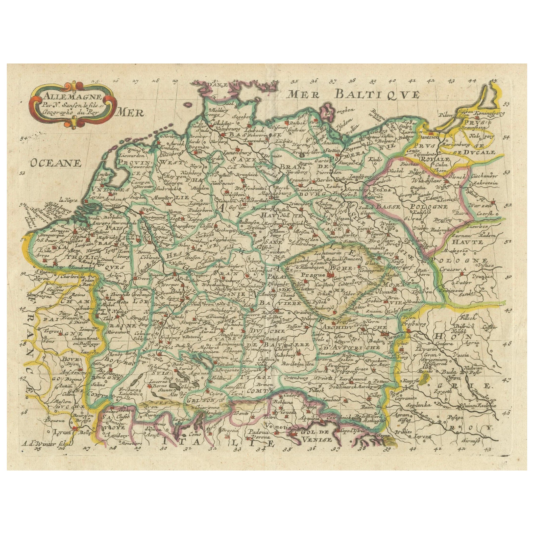
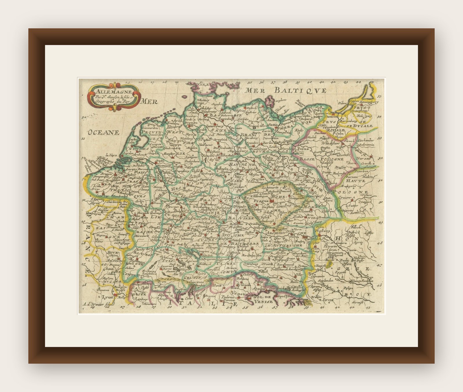
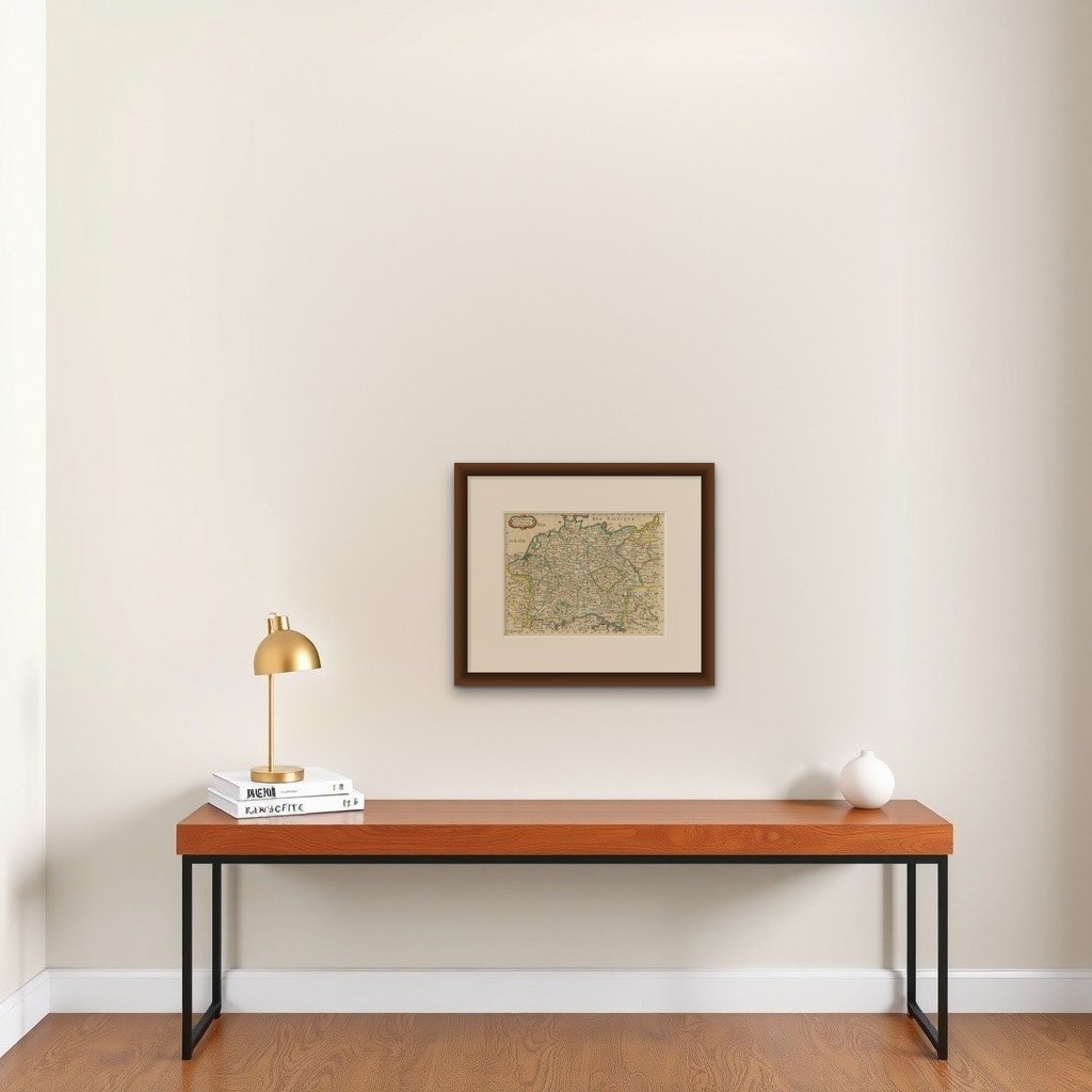
Decorative Hand-Colored Map of Germany by Nicolas Sanson, 1648
€ 420
Original antique · The actual sheet photographed · Certificate of authenticity on request · Sold unframed · Worldwide shipping from € 15 (rates)
Date
1648
Sheet size
21.5 × 31 cm (8.5 × 12.2 in)
Condition
Good
Reference
BG-13842-1
What the condition grades mean
Excellent
Bright and clean, with no faults worth mentioning.
Very good
Only light signs of age, such as faint toning.
Good
Normal signs of age for a sheet of this period: toning, some foxing, small marks or neat old repairs.
Fair
Clear faults such as staining, tears or repairs, priced to match.
Every fault we see is written in the condition note, and the whole sheet is shown uncropped in the photos.
Condition
Condition report: Minor toning throughout, slight foxing visible. Overall, well-preserved with vibrant hand-coloring and a strong impression, typical of mid-17th-century maps.
About this sheet
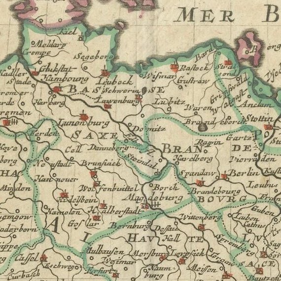
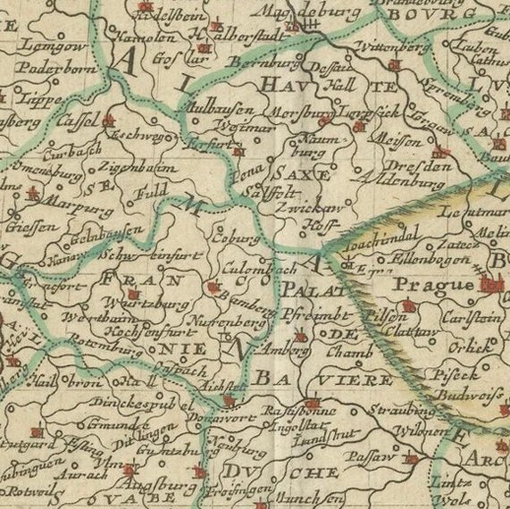
This hand-colored map, titled "Allemagne," was created by Nicolas Sanson, a prominent 17th-century French cartographer and geographer to the King of France. Published in 1648 in Paris, it was engraved by Abraham Peyrounin. This copper-engraved double-page map is part of Sanson's Atlas of Europe, dedicated to Michel Le Tellier. It features the boundaries of various regions, major cities, towns, villages, rivers, mountains, and other geographical features, with relief depicted pictorially.
The map is hand-colored in outline, and it is adorned with a decorative cartouche. The intricate details represent the structure of the Holy Roman Empire and its constituent states, including major landmarks and physical features. The use of hand-coloring enhances the differentiation between territories, making it easier to discern the divisions of the time.
Sanson’s maps are known for their detailed geographic accuracy, and this map is no exception, providing a fascinating glimpse into Germany’s political geography during the 17th century. Sanson played a significant role in cartographic history, laying the foundation for modern geographic depictions with his meticulous approach to mapmaking.
Condition report: Minor toning throughout, slight foxing visible. Overall, well-preserved with vibrant hand-coloring and a strong impression, typical of mid-17th-century maps.