About this sheet
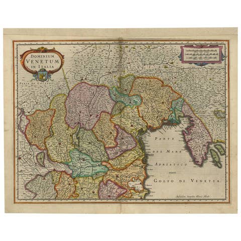
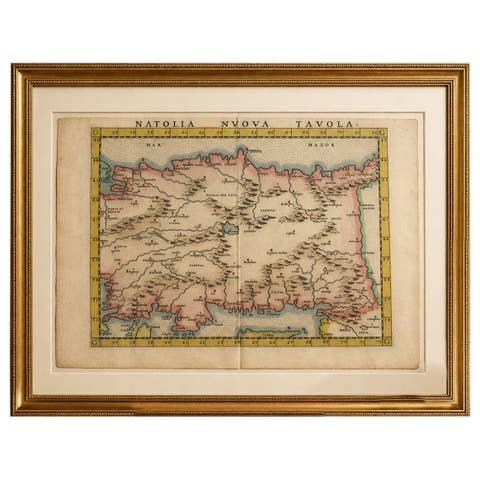
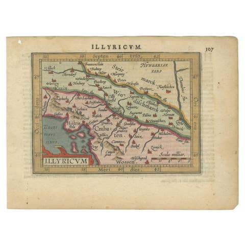
Italia Antiqua Philippo Cluvero – 1603 Hondius Map of Ancient Italy with Hand Color
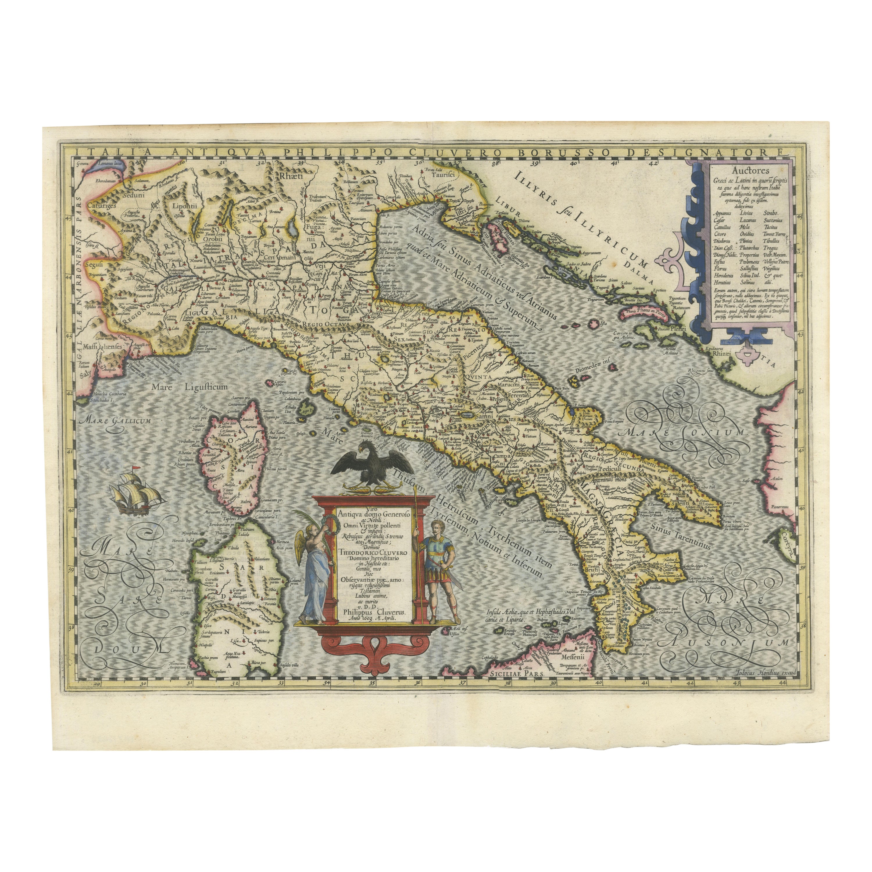
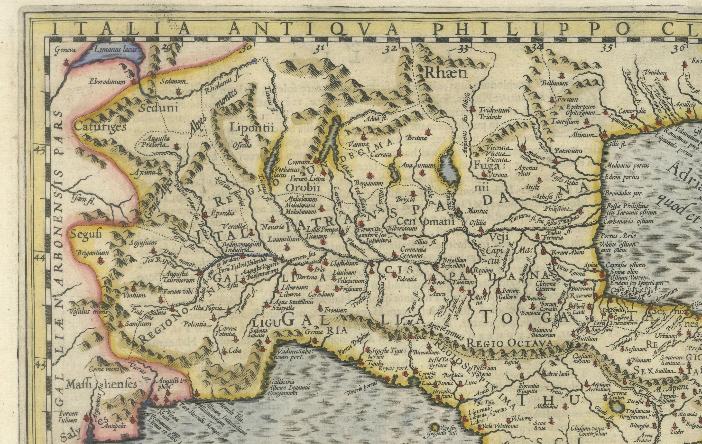
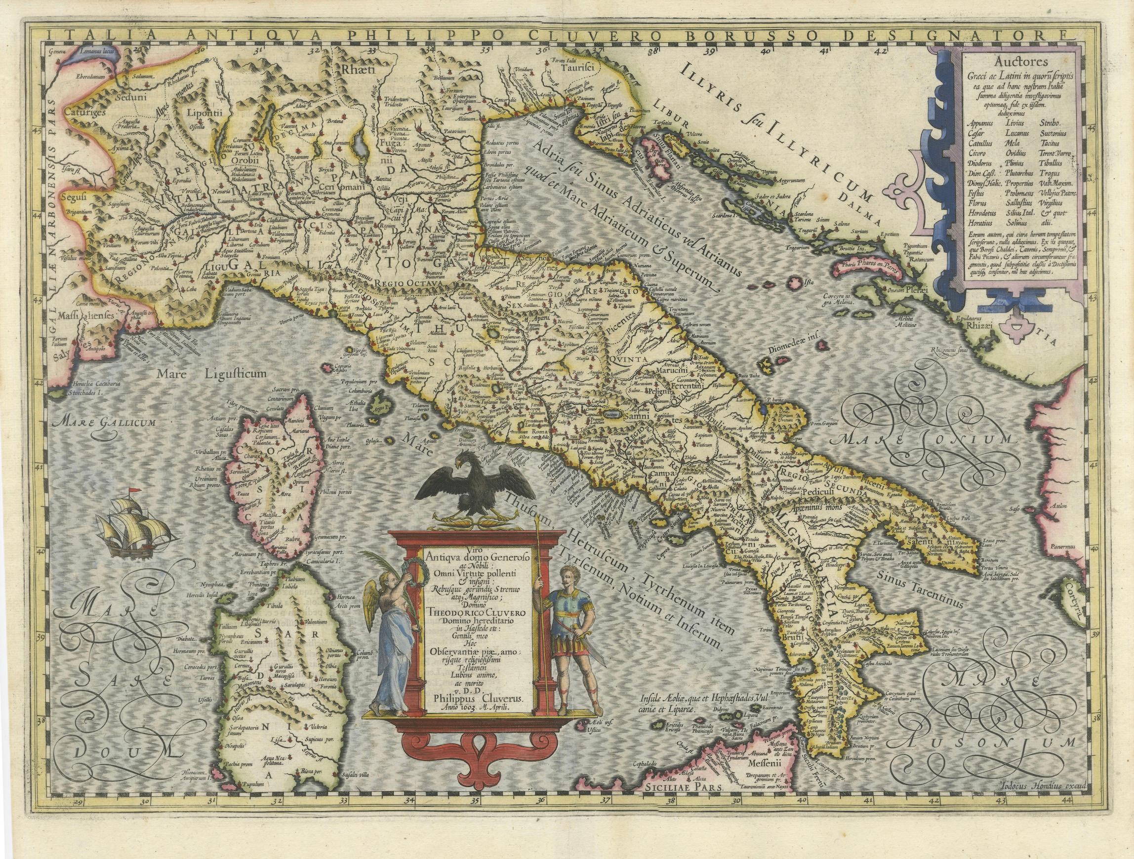
This stunning early 17th-century map, *Italia Antiqua Philippo Cluvero Borusso Designatore*, was published in 1603 by Jodocus Hondius as part of Philipp Cluver’s 'Theatrum Geographiae Veteris', a foundational work in historical geography. The map is a meticulously engraved depiction of ancient Italy, incorporating classical sources and cartographic expertise from Theodorus Cluver.
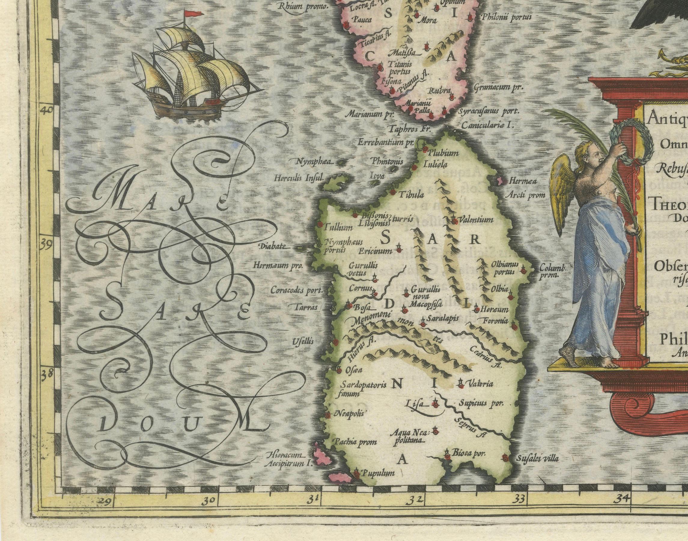
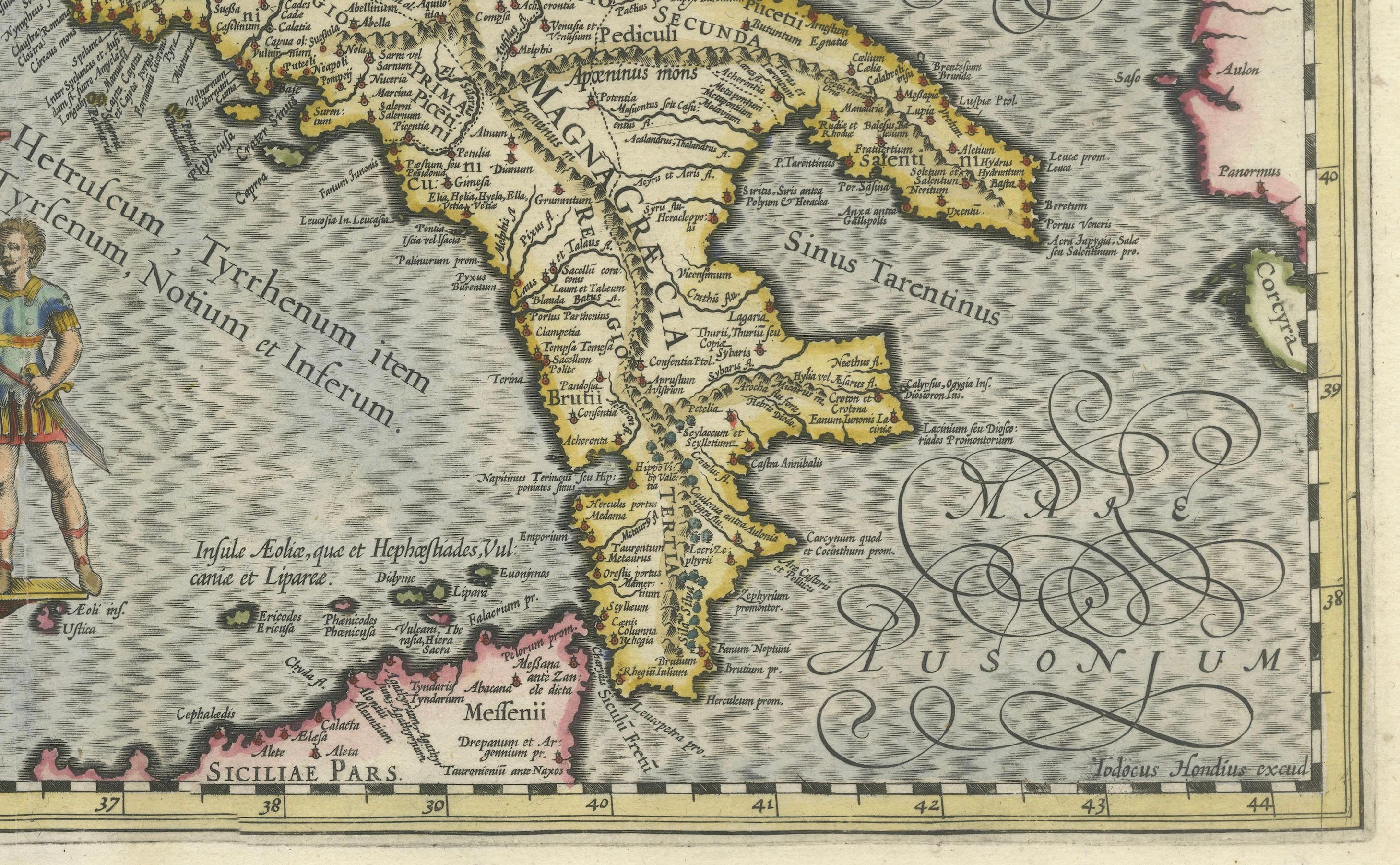
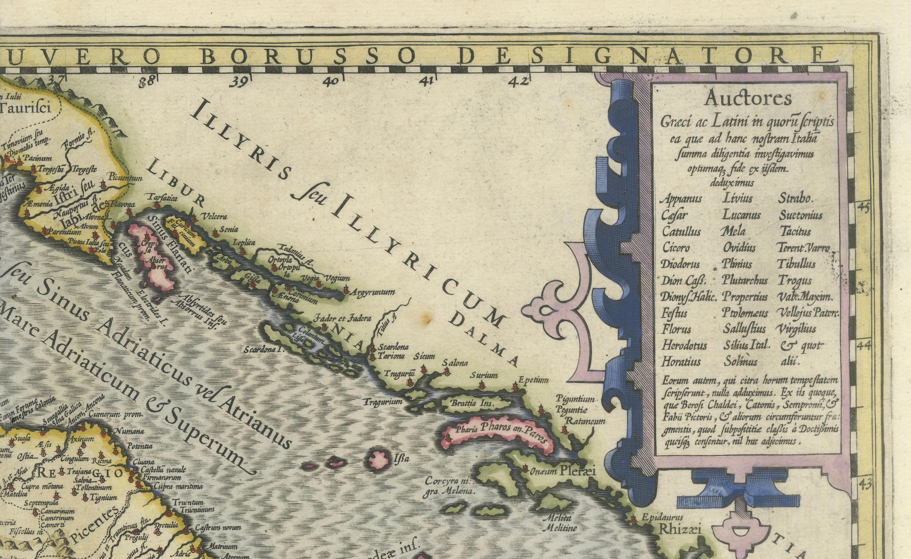
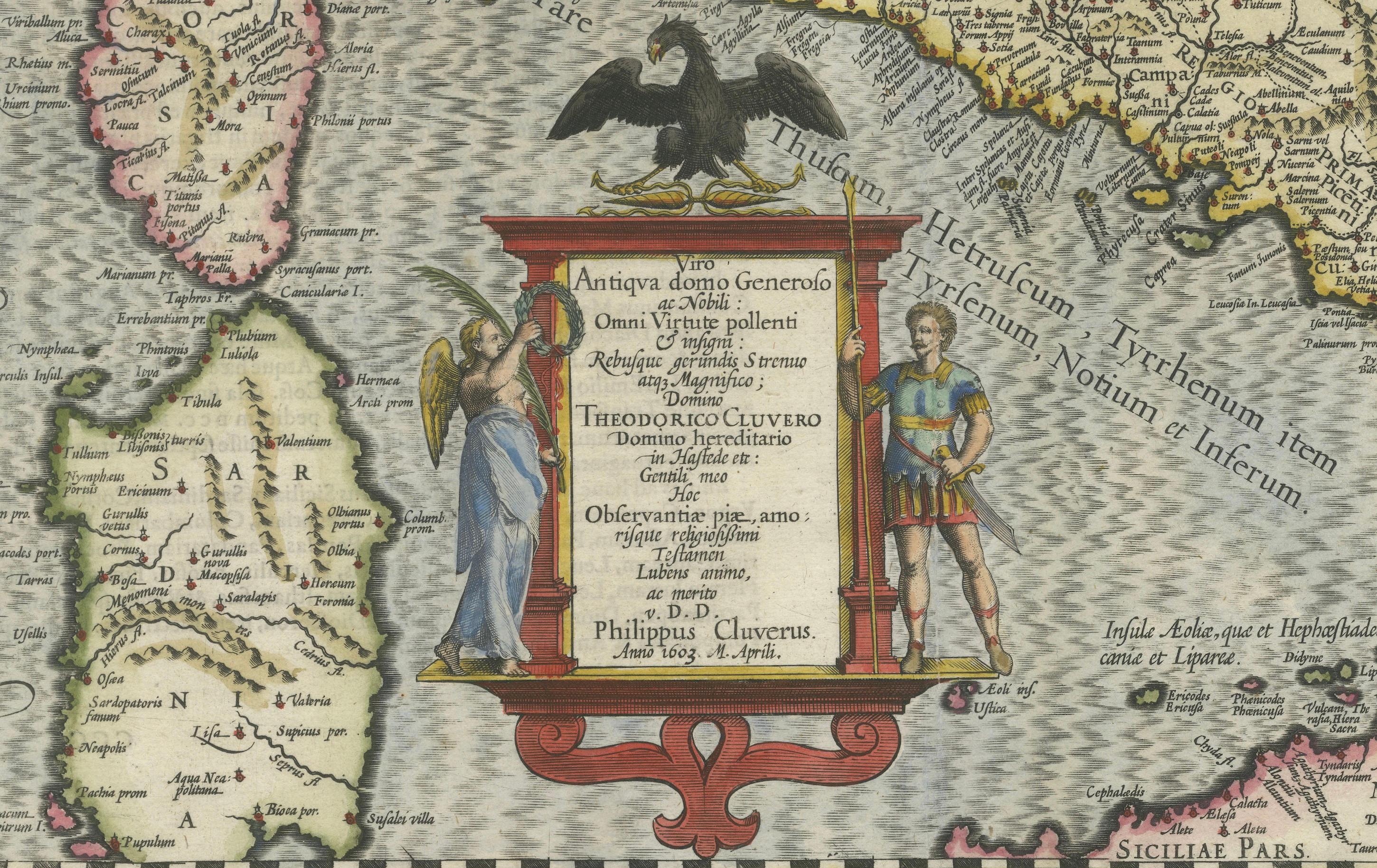
Covering the Italian peninsula, the map also includes the islands of Sardinia and Corsica, as well as the northern part of Sicily. It is adorned with Latin place names, referencing ancient Roman and Greek geography, making it an invaluable historical resource. The map is enriched with stunning embellishments, including a decorative title cartouche featuring two allegorical figures—one representing peace and the other war—highlighting Italy’s complex historical narrative. A second strapwork cartouche in the upper right lists prominent authors who have written about Italy, underscoring the scholarly nature of this map.
Jodocus Hondius, one of the most significant Dutch engravers and publishers of the time, ensured that this map maintained the highest artistic and technical quality. The background features elaborate details, such as a large sailing galleon off the western coast, finely engraved mountains, and rivers rendered in delicate shading. The pictorial relief and hand-applied color enhance the visual appeal, making this map both a geographical study and a work of art.
This edition was published in 1618 with Latin text on the verso, indicating its inclusion in the first edition of 'Theatrum Geographiae Veteris'. It is referenced in Van der Krogt, confirming its place among important historical maps of Italy.
Condition: Very good to excellent. A strong, dark impression with original hand color. A professionally repaired centerfold separation within the image does not detract from its visual integrity. Minor toning along the edges of the sheet, consistent with age, adds to its authentic antique character.
Framing Advice: To preserve and display this exceptional map, consider using an acid-free, museum-grade mat and UV-protective glass or acrylic to prevent fading. A gold or dark wood frame with a classical style complements the historical elegance of the piece. If possible, opt for conservation mounting, which avoids adhesives directly on the map and allows for future removal without damage. Proper framing will not only enhance its aesthetic appeal but also protect this rare historical artifact for generations to come.
This rare and historically significant map is a must-have for collectors of antique maps, scholars of classical geography, and enthusiasts of Italian history.