About this sheet
Early Woodcut Map of the Rhine River Region, "Die Dritte Tafel des Rheinstroms," ca. 16th Century
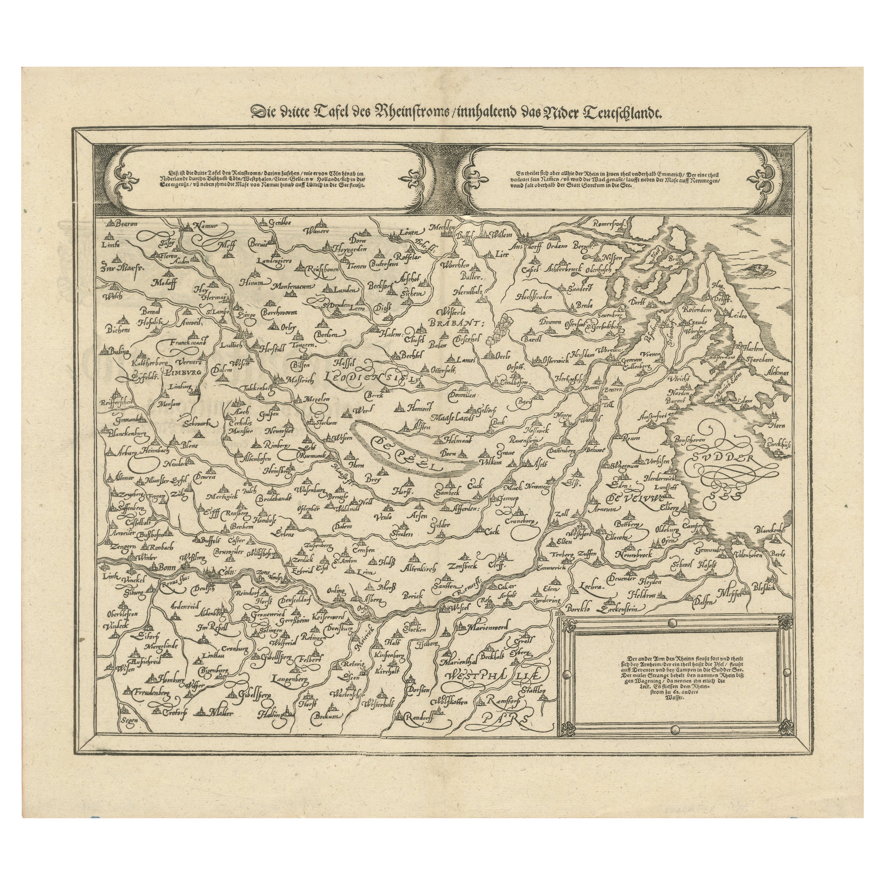
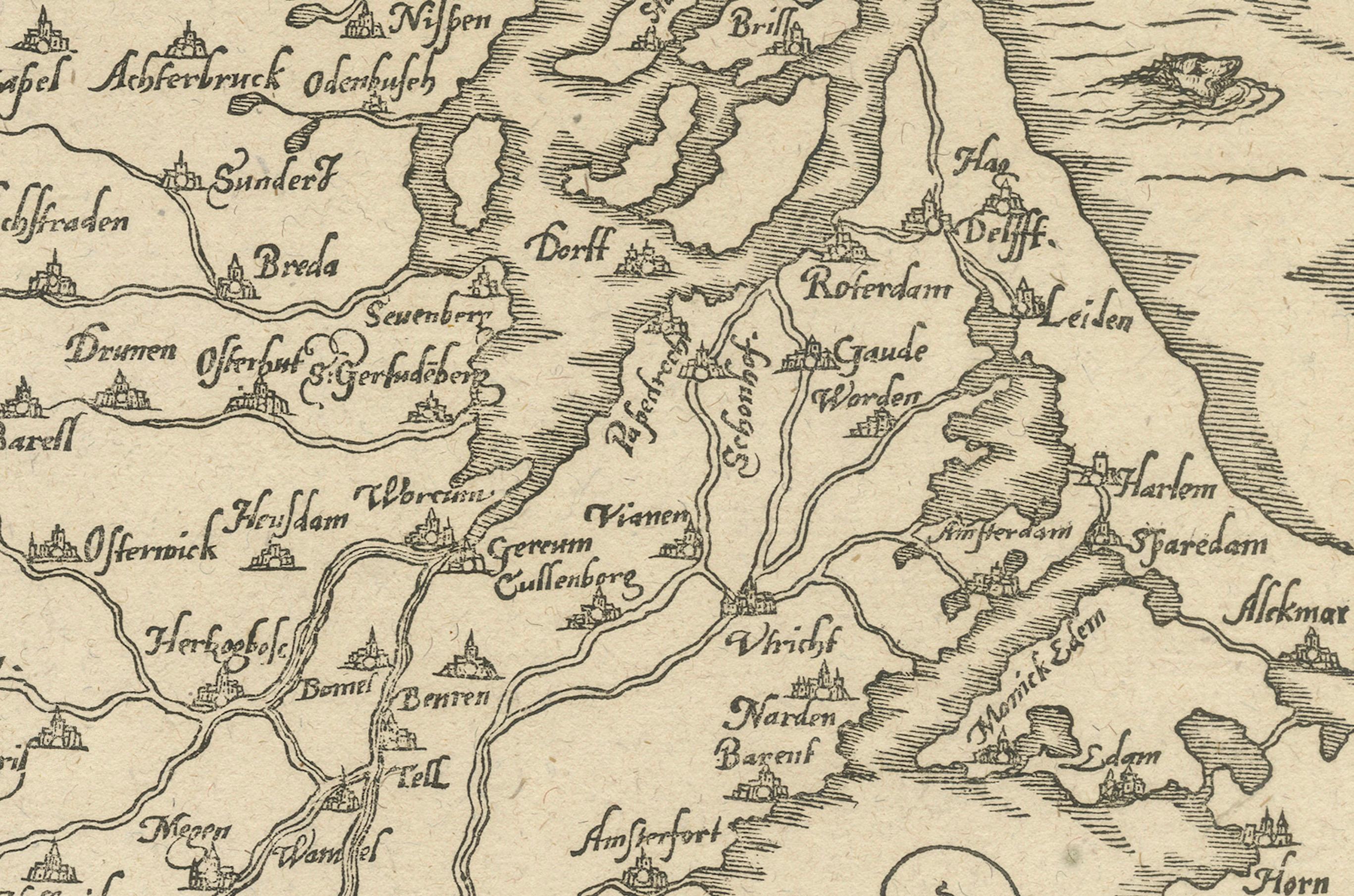
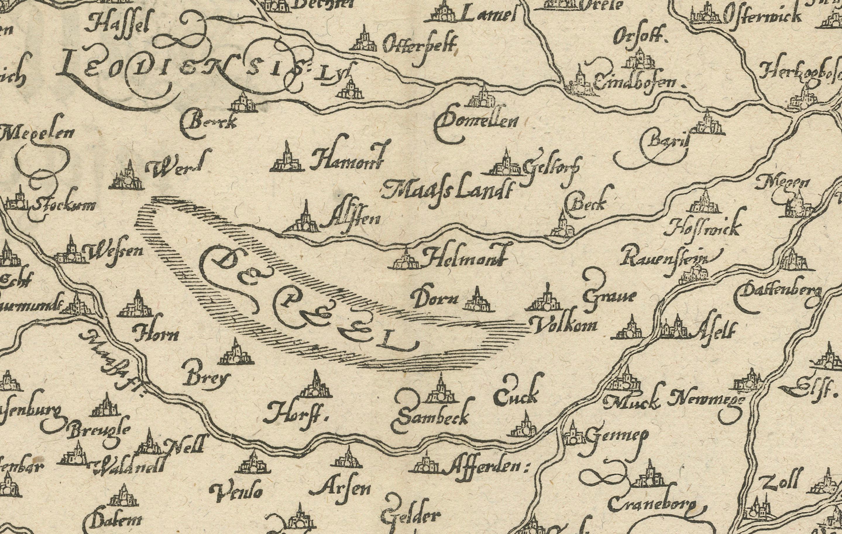
This early woodcut map, titled "Die Dritte Tafel des Rheinstroms Innhaltend das Nider Teutschlandt," offers a fascinating depiction of the Rhine River region, covering areas between Namur, Bonn, Amsterdam, and Rotterdam. The map dates to the 16th century and highlights the river's path through numerous significant cities and towns.
The map is adorned with various inscriptions and decorative elements that enhance its historical value. The detailed depiction includes major waterways, settlements, and natural features, which convey a clear picture of the geography of the Lower Rhineland. Such woodcut maps were instrumental in providing geographical information during the Renaissance, reflecting the craftsmanship of early cartographers.
Here are the translations for the text blocks:
1. First Text Block:
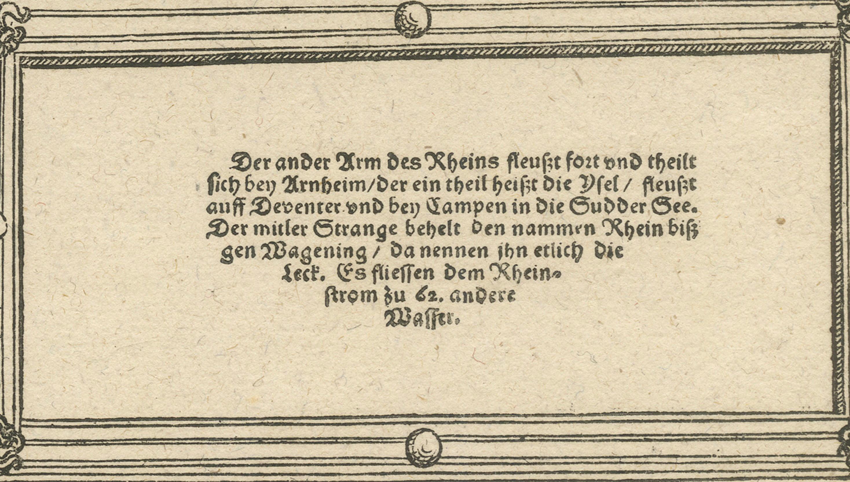
"The other branch of the Rhine continues and splits near Arnhem. One part is called the Yssel, flows past Deventer, and empties into the Southern Sea near Kampen. The middle course retains the name Rhine until Wageningen, where some call it the Lek. There are 62 other streams flowing into the Rhine."
2. Second Text Block:
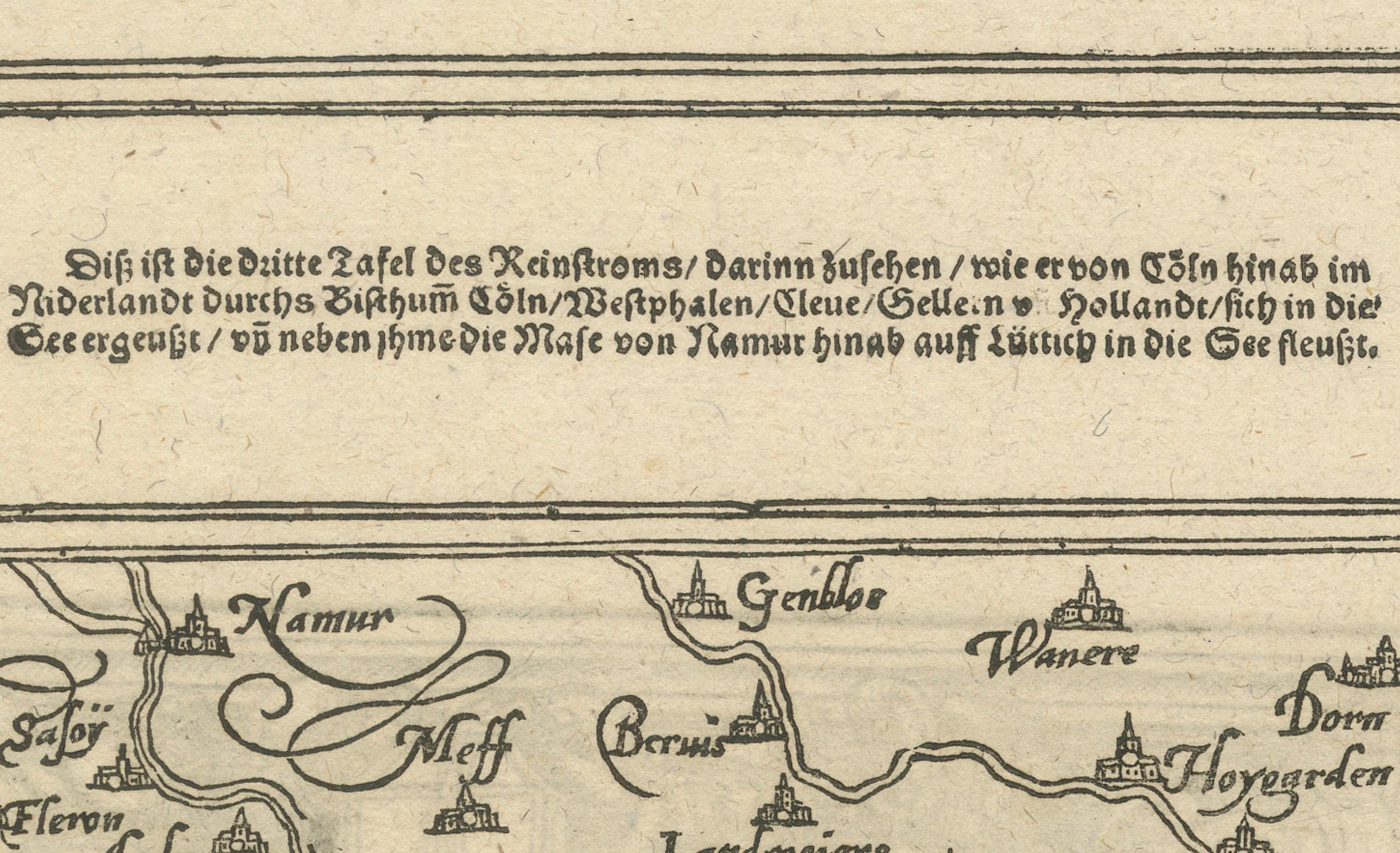
"This is the third map of the Rhine, in which you can see how it flows from Cologne through the Netherlands, passing through the bishoprics of Cologne, Westphalia, Cleves, Gelderland, and Holland, and empties into the sea, and how the Meuse flows from Namur into the sea near Liège."
3. Third Text Block:
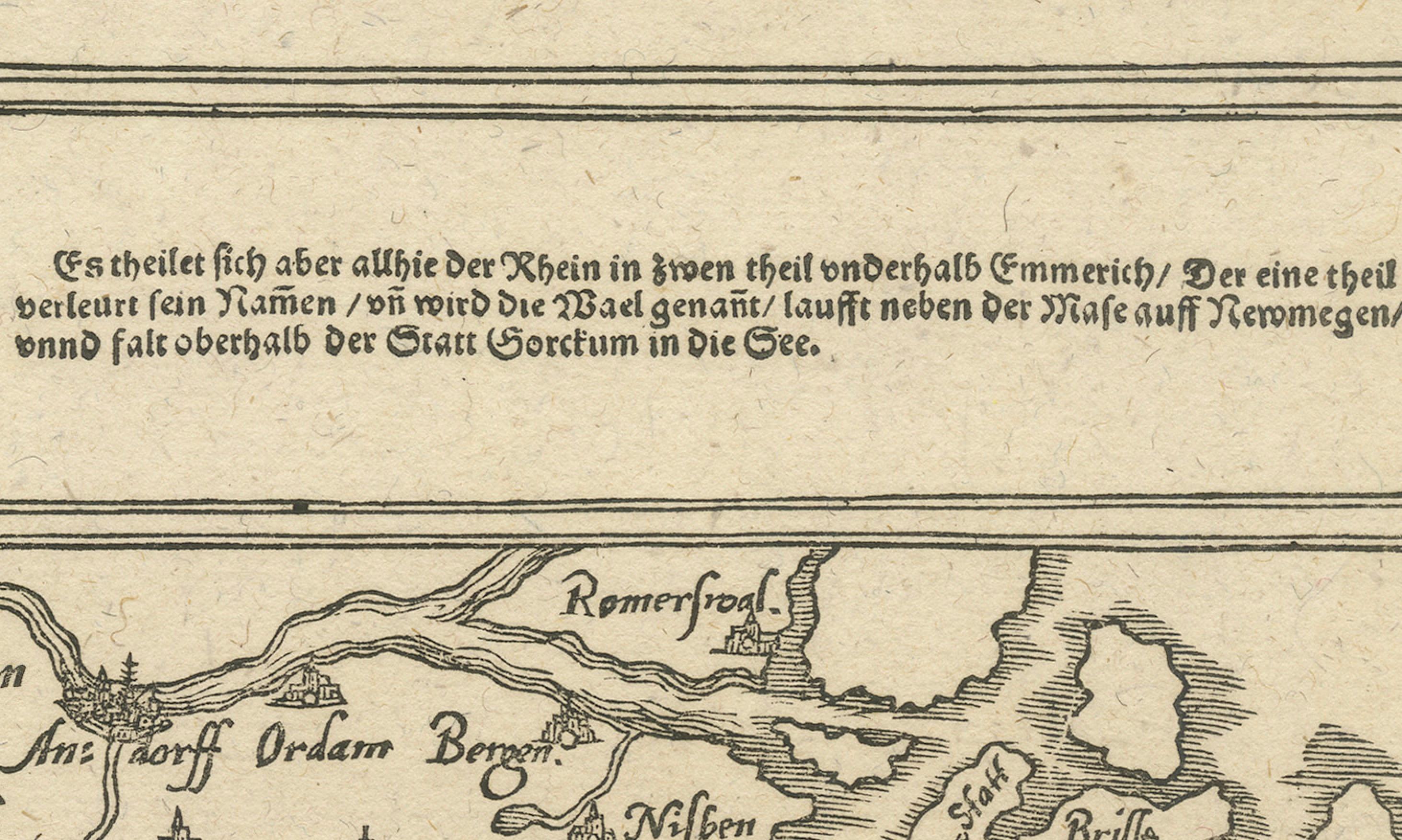
"But here the Rhine splits into two parts below Emmerich. One part loses its name and is called the Waal, flows next to the Meuse past Nijmegen, and empties into the sea above the town of Gorinchem."
This map is not only an invaluable historical document but also a work of art, with its ornate borders and flowing calligraphy that add to its aesthetic appeal. It captures the essence of early cartographic representation, with an emphasis on both artistic detail and functional geography.
Condition report: Well-preserved with minor toning consistent with age. The print is crisp, and the details remain clear, with slight foxing in the margins. Overall, it is a charming and well-kept example of early cartography.