About this sheet
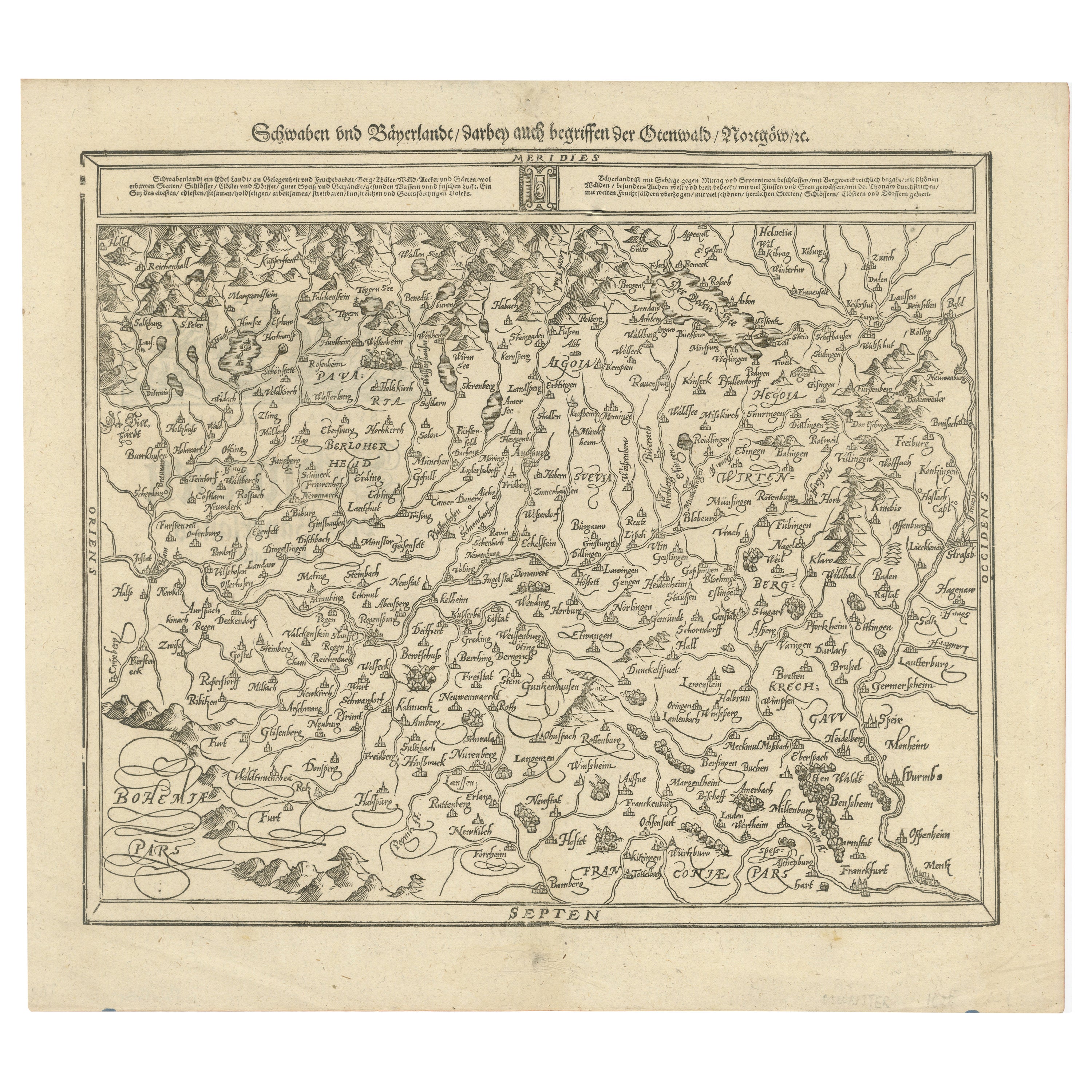
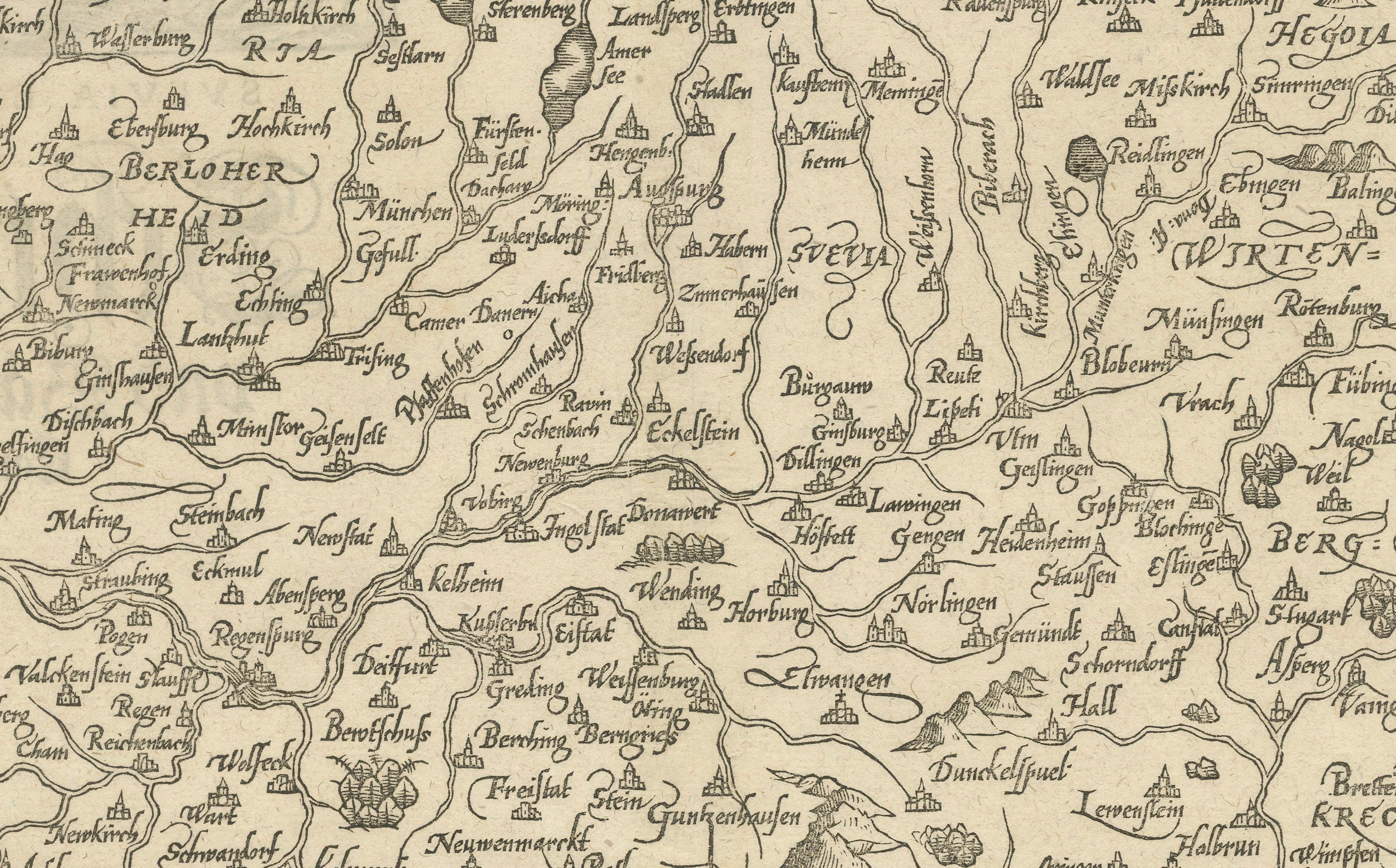
This early woodcut map titled "Schwaben und Bayernlande / Darbey auch begreiffen der Oenwaldt / Nordgaw / etc." provides a detailed depiction of the historical regions of Swabia (Schwaben) and Bavaria (Bayern) in Germany. The map showcases the geographic layout of cities, towns, rivers, and mountains, capturing the complex landscape of southern Germany during the 16th century.
The map is adorned with several descriptive inscriptions and a decorative title. The pictorial representation of the Alps and the rugged terrain in the northern section, along with the elaborate detailing of towns and cities, reflects the style of Renaissance cartography, where geographic accuracy was often combined with artistic flair.
The text along the top and bottom edges of the map serves as a reference to the region's boundaries and notable features, providing further context to the depicted territories. These maps were used not only as geographic references but also to display the political and territorial divisions of the Holy Roman Empire during this era.
Here are the translations of the text blocks:
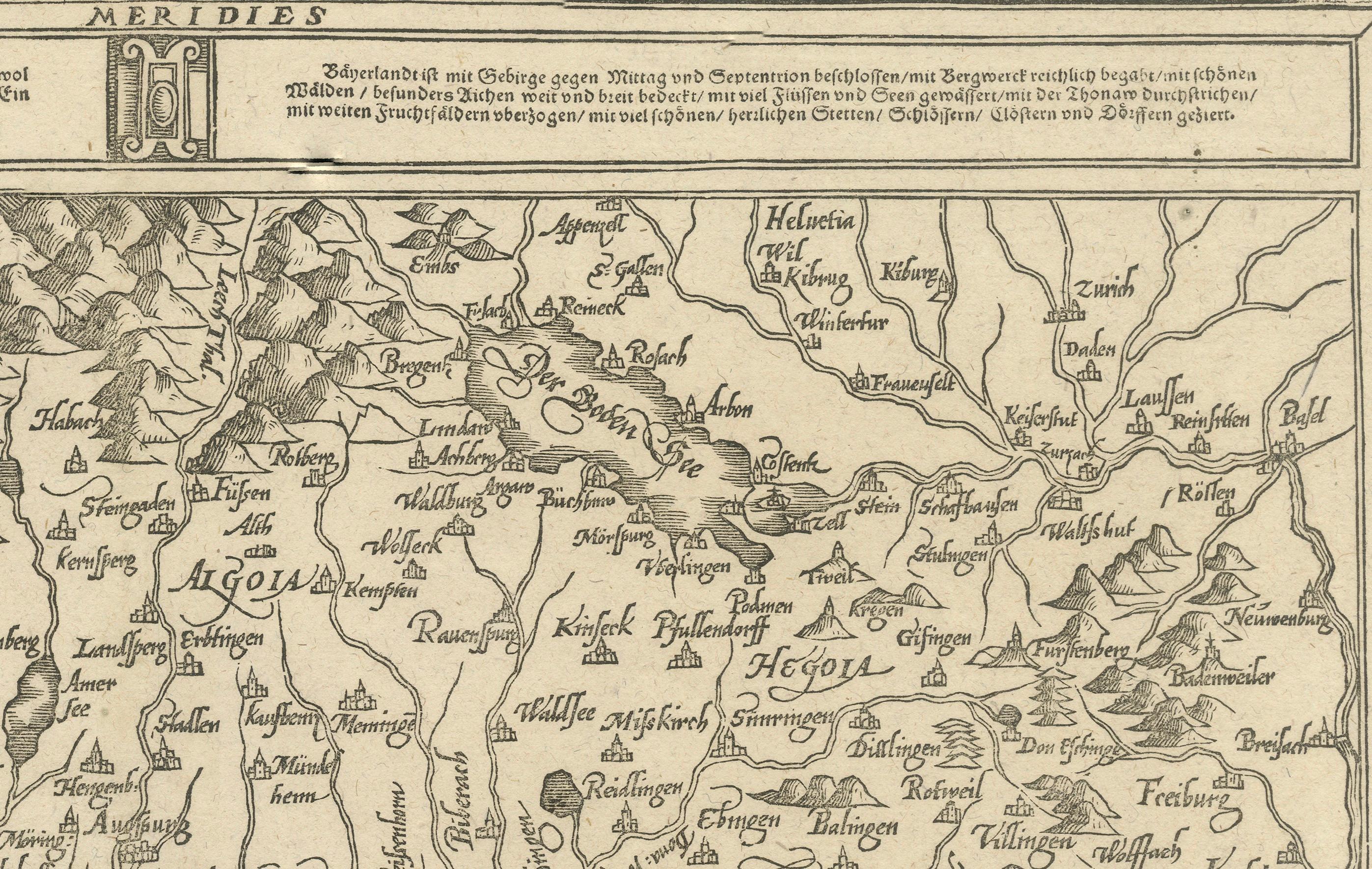
1. Top-Center Text Block:
"Bavaria is enclosed by mountains to the south and north, richly blessed with mountains and forests, covered with beautiful meadows and especially dense woods, with many rivers and lakes, traversed by the Danube, and adorned with many fruitful fields, beautiful cities, castles, monasteries, and villages."
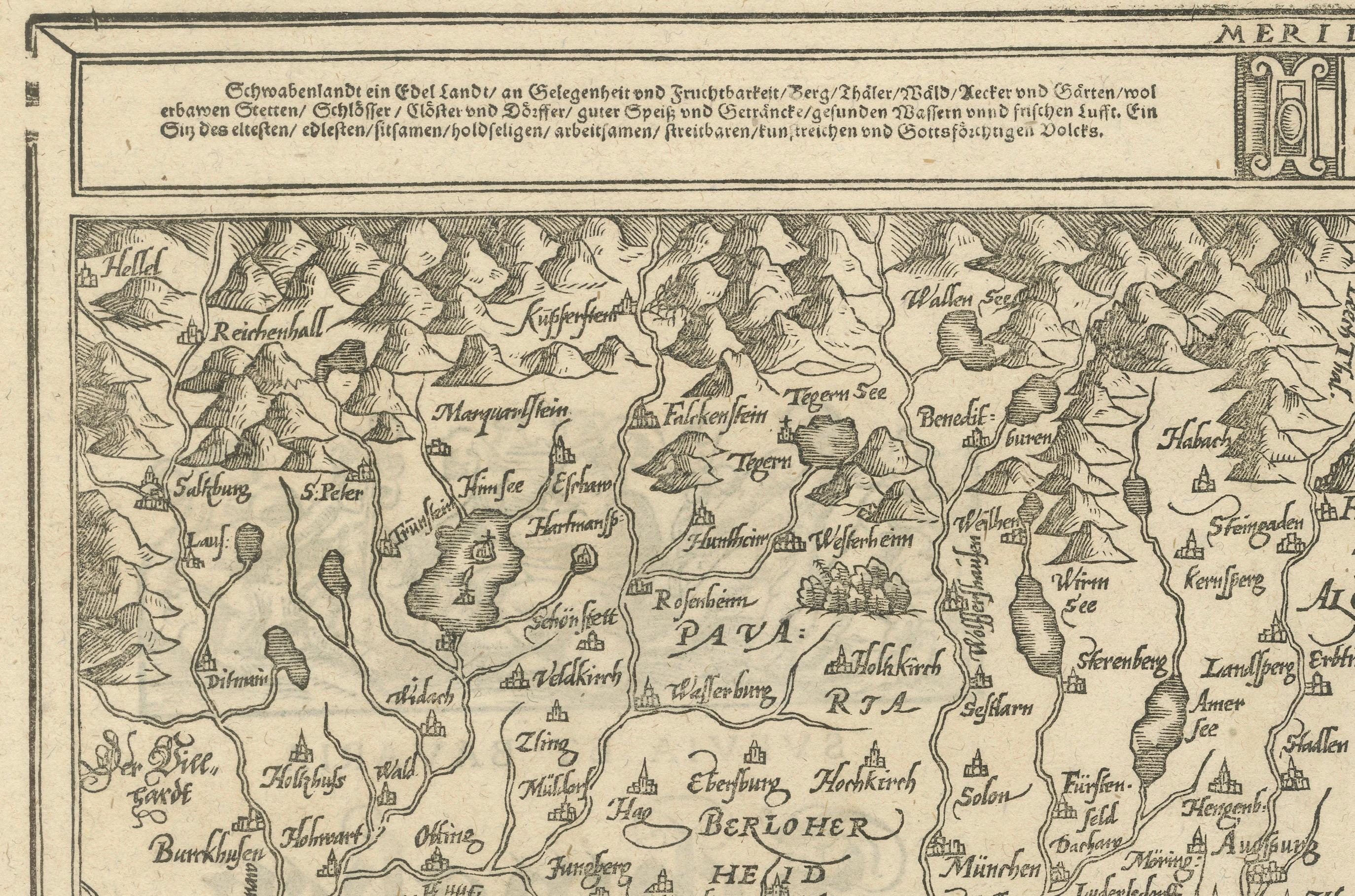
2. Top-Left Text Block:
"Swabia is a noble land in terms of location and fertility; mountains, valleys, forests, fields, orchards, gardens, fine food and drink, pure water, and fresh air. A place of the noblest and finest people, diligent, industrious, talented, upright, and God-fearing folk."
Condition report: Well-preserved with light toning consistent with age. Minor foxing along the edges. The paper remains crisp, and the details are clear, making it a charming example of early cartographic art.