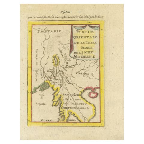
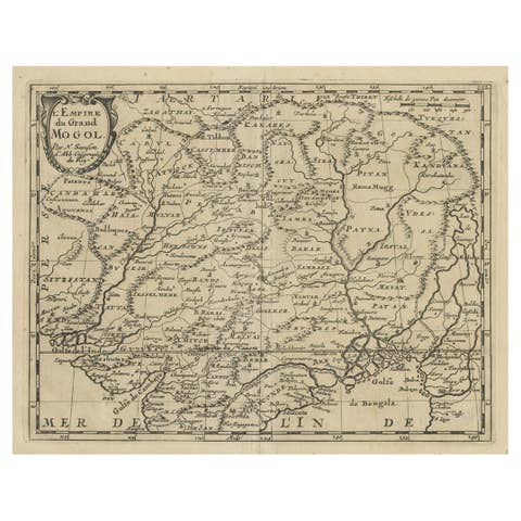
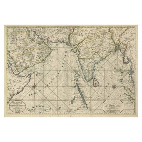
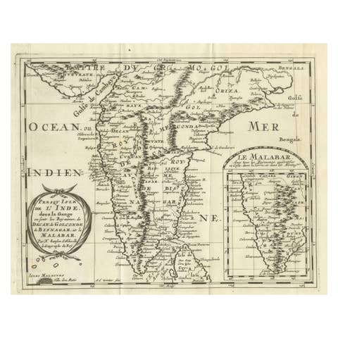
1692 Engraved Map: Detailed Mogul Empire, India to Afghanistan, Hand-Colored
€ 490
One of a kind: this is the sheet in the photographs. Ships from Langweer, the Netherlands.
Date
1692
Sheet size
13.72 × 15.5 cm (5.4 × 6.1 in)
Condition
Good
Reference
BG-13858
Condition
It is in good condition, with a crisp impression, minor marginal soiling, a hint of toning, and a small separation at the bottom centerfold.
About this sheet
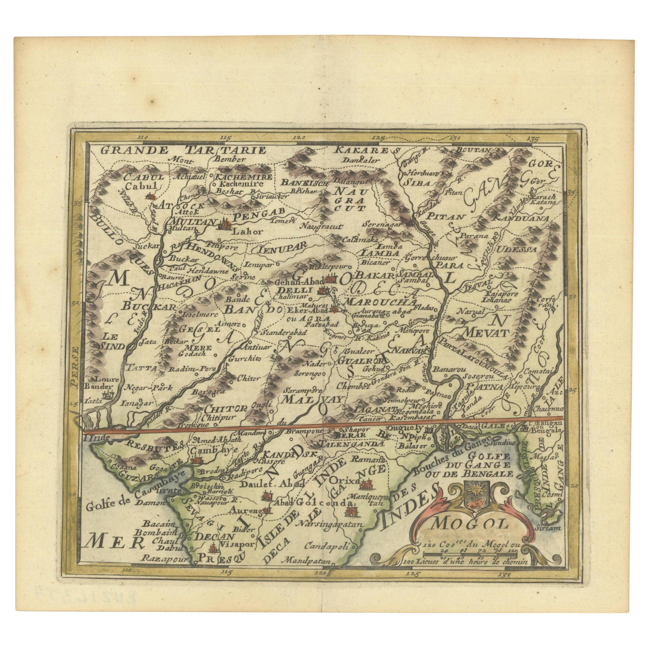
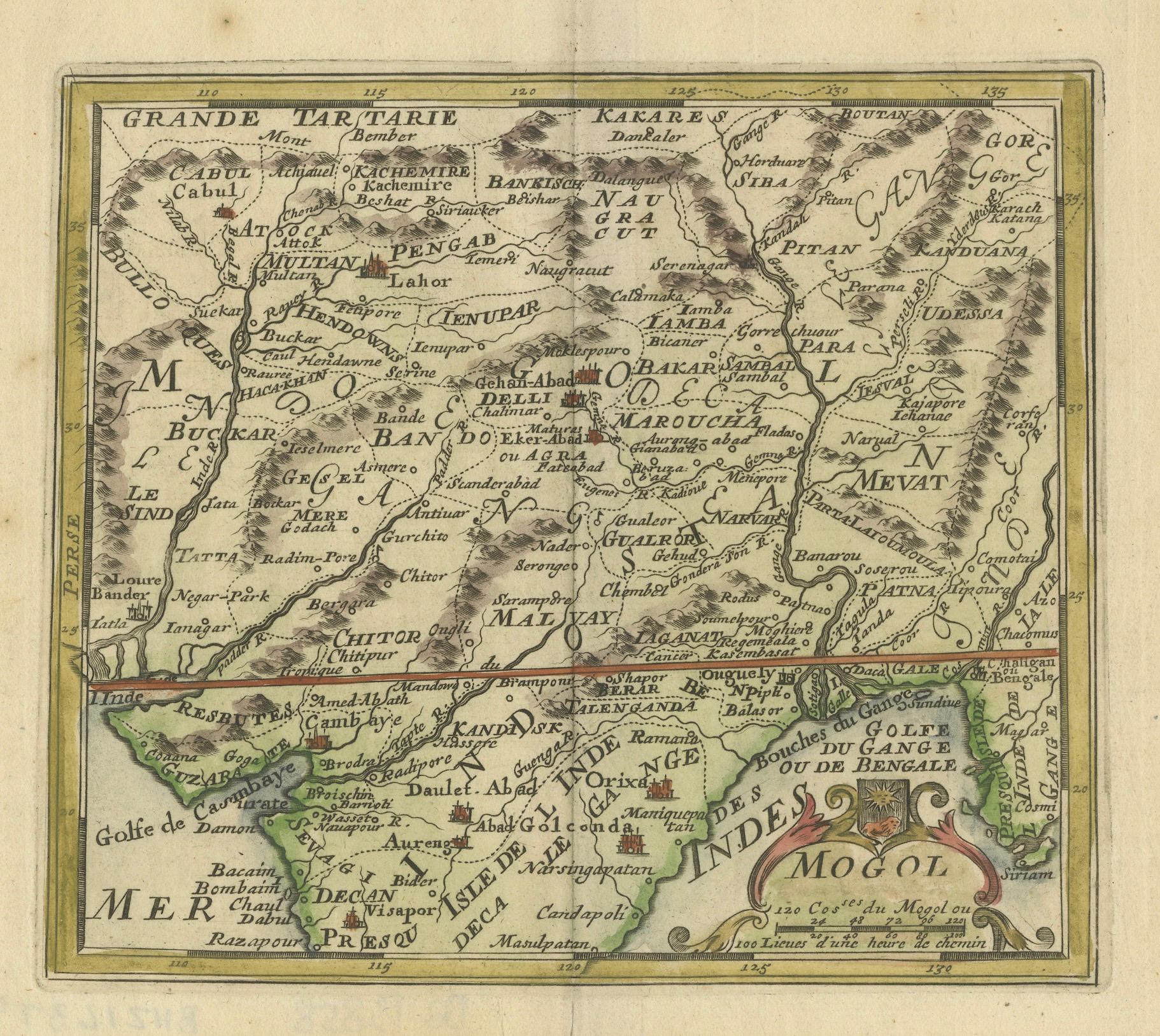
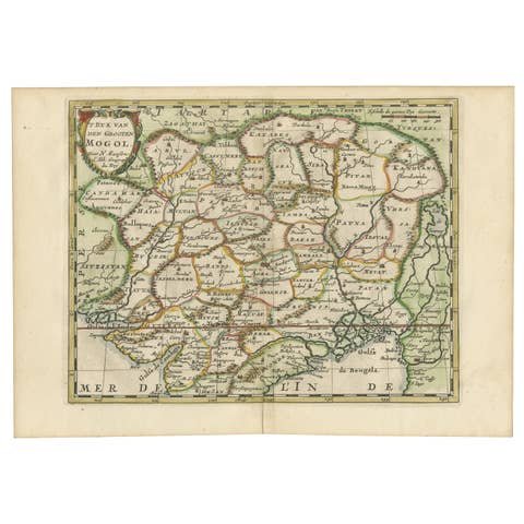
1692 Map of the Mogul Empire by Jacques Peeters
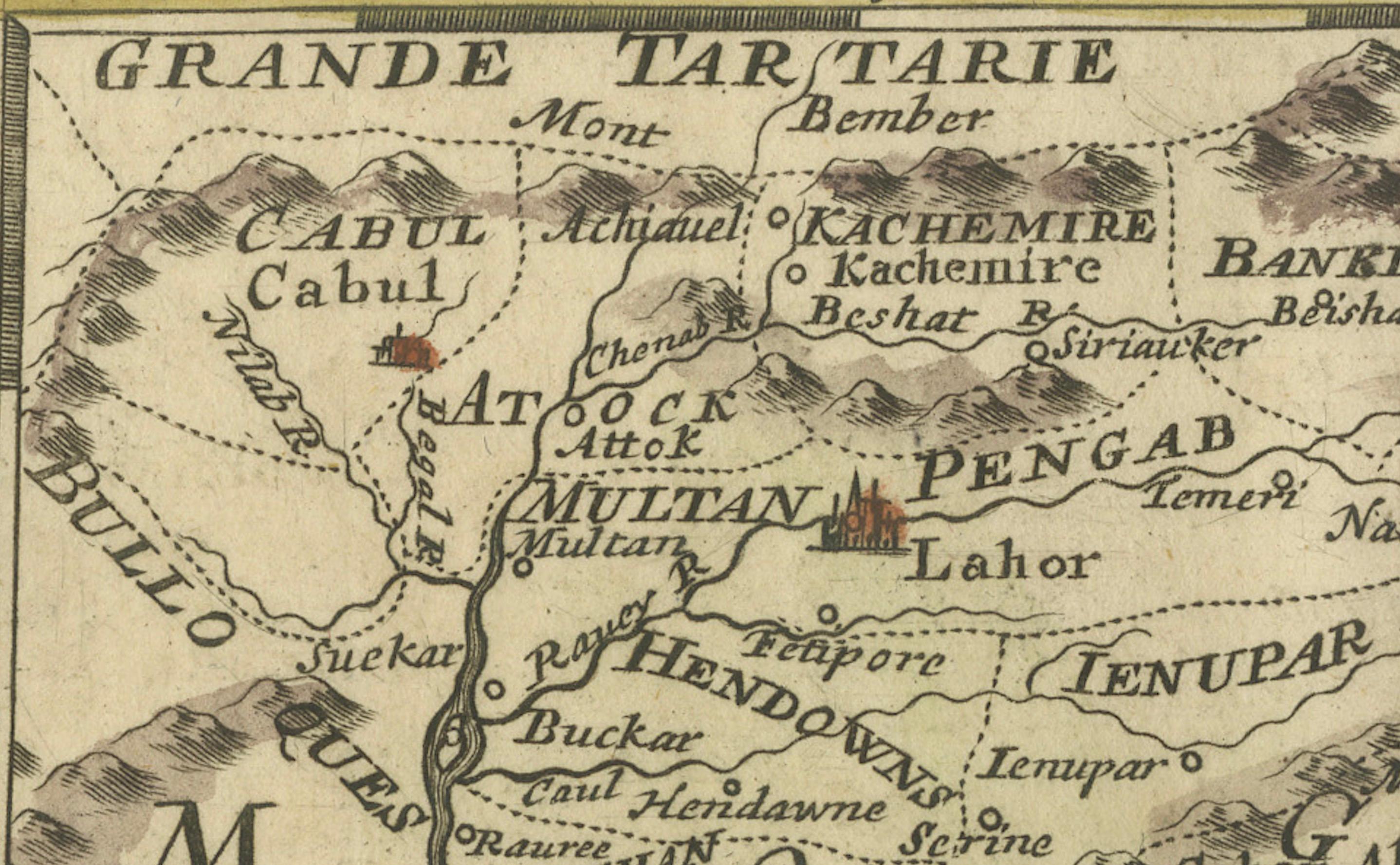
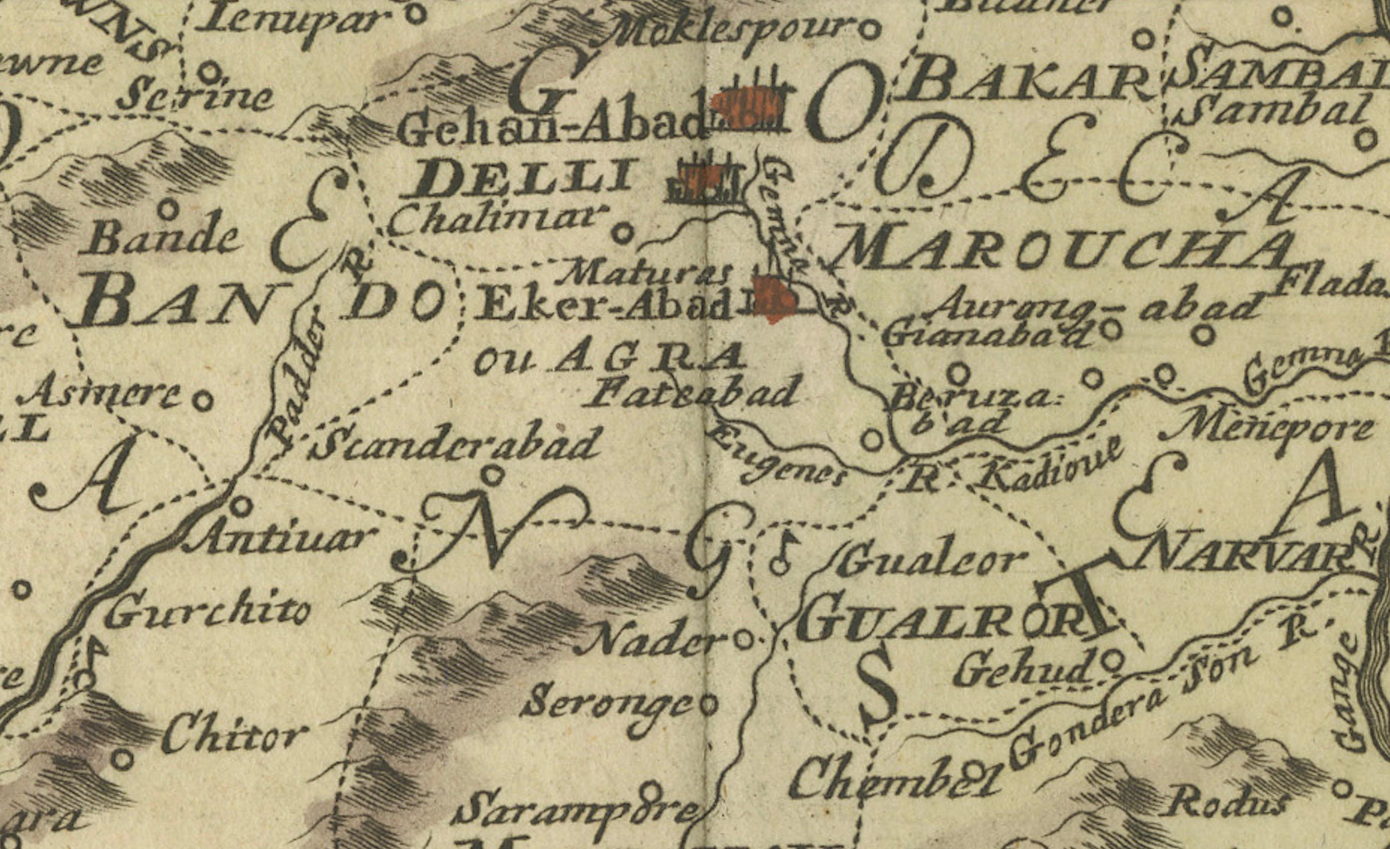
This finely engraved map, published in 1692 by Jacques Peeters, showcases the Mogul Empire region, covering areas from northern India to parts of Afghanistan, Tibet, Nepal, and Bhutan.
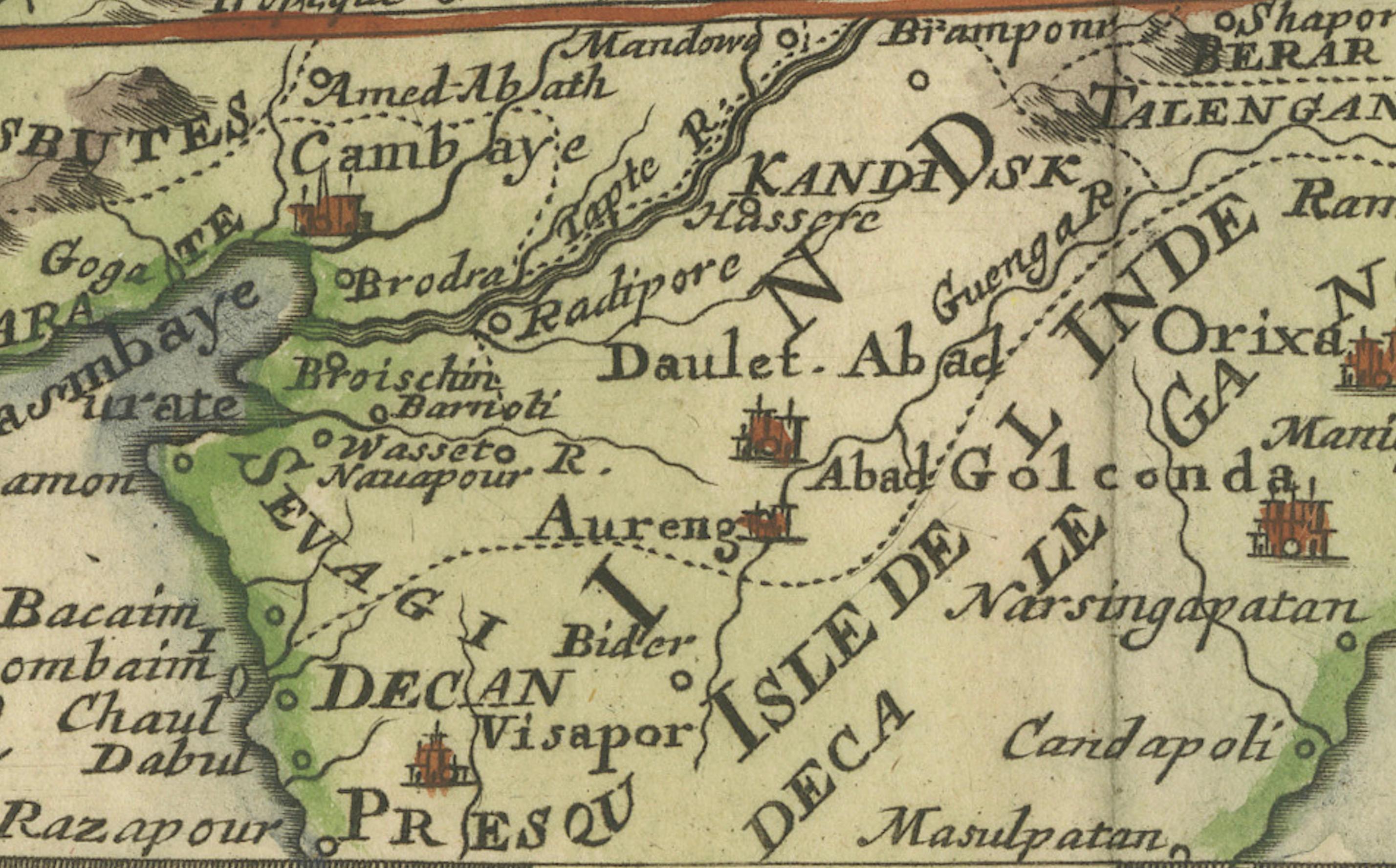
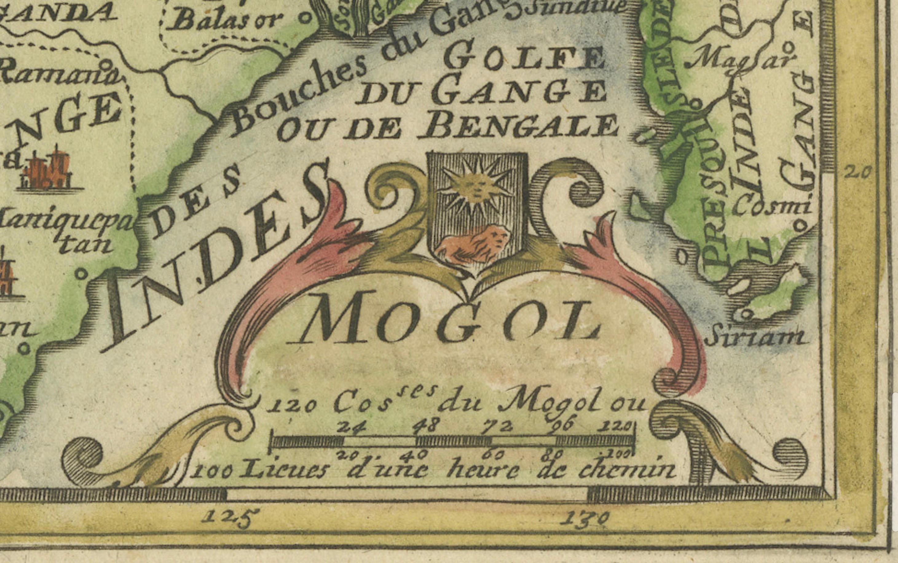
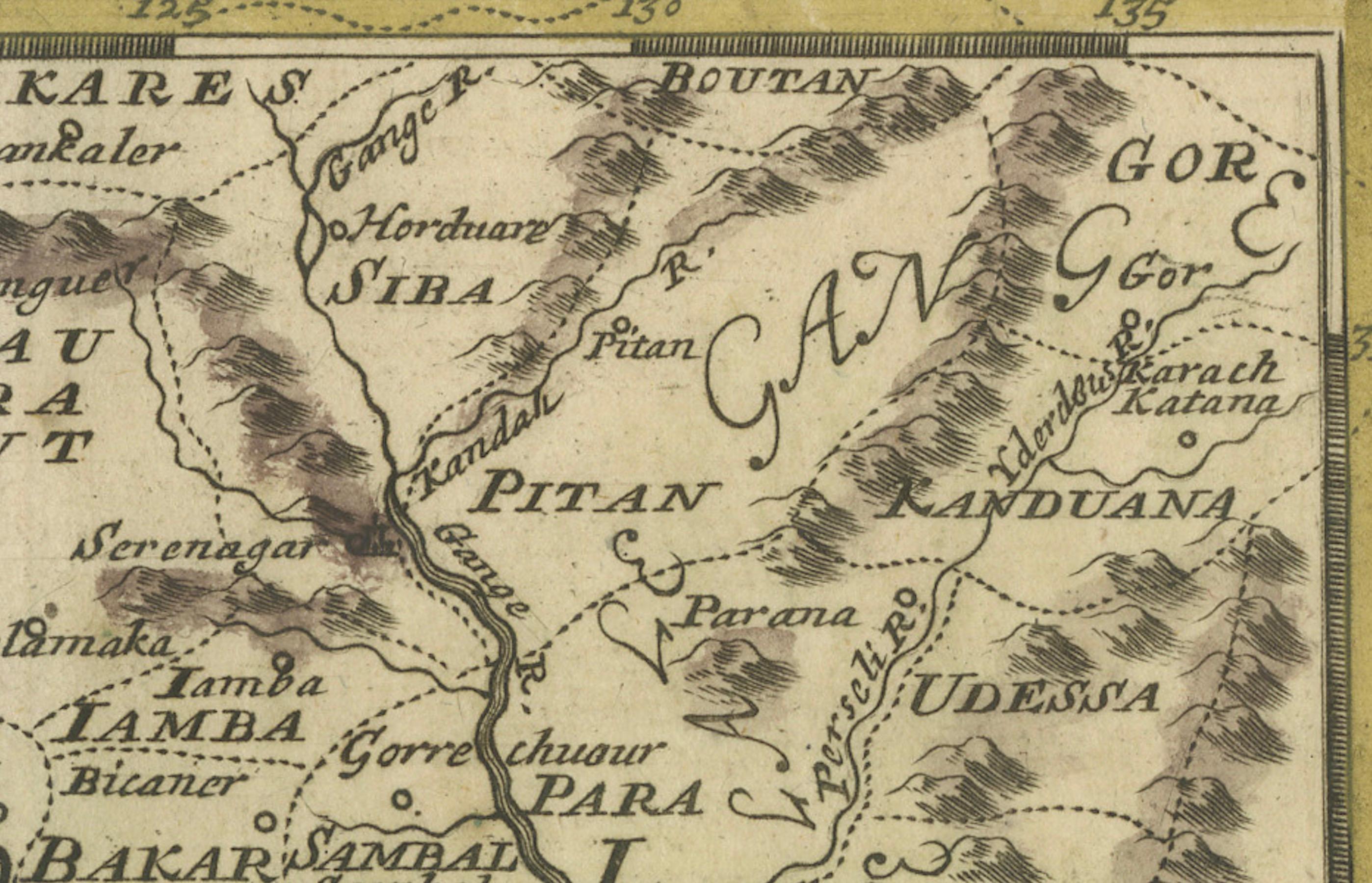
The map is rich with details, illustrating mountains, rivers, and cities, providing a comprehensive view of the geography and settlements of the time. It features a decorative title cartouche that includes a tiny coat of arms.
The map measures 6.1 inches in width by 5.4 inches in height. It is in good condition, with a crisp impression, minor marginal soiling, a hint of toning, and a small separation at the bottom centerfold.
Keywords for Online Listing: - Mogul Empire - Northern India - Afghanistan - Tibet - Nepal - Bhutan - Historical map - 17th century - Jacques Peeters - L'Atlas en Abrege - Decorative cartouche - Mountains and rivers - Cities of the Mogul Empire