Antique Maps
841 original sheets
Europe 3023Asia 1110Africa 236America 548Australia & Oceania 159World Maps 111Sea Charts 209Celestial Maps 22
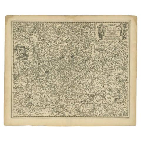
Antique Map of the Hainaut Region by Visscher, c.1690
1690 · € 325
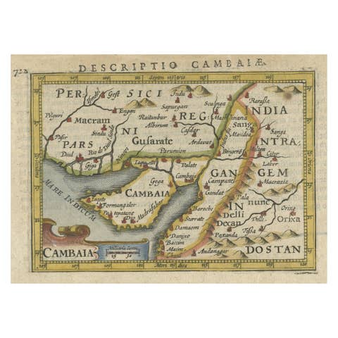
Rare Antique Miniature Map of Pakistan, India and Cambaia, ca.1616
1616 · € 390
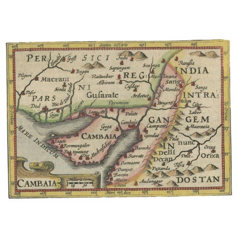
Rare Antique Miniature Map of Pakistan, India and Cambaia, ca.1618
1618 · € 390
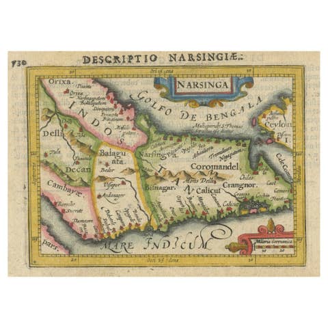
Colorful and Decorative Miniature Map of India, Ceylon by Bertius 1616
1616 · € 390
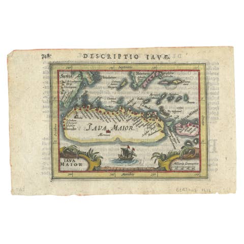
Rare 16th Century Original Handcolored Miniature Map of Java, Indonesia, 1616
1616 · € 490
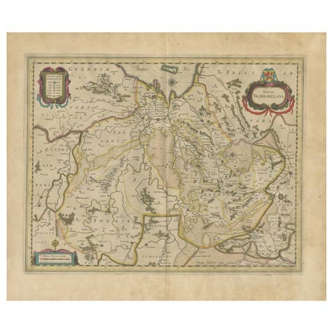
Antique Map by Janssonius of the Dutch Province of Overijsel, ca.1650
1650 · € 440
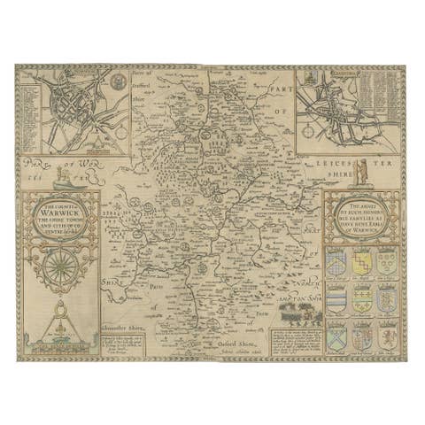
Antique Map of Warwickshire by Speed, c.1614
1614 · € 470
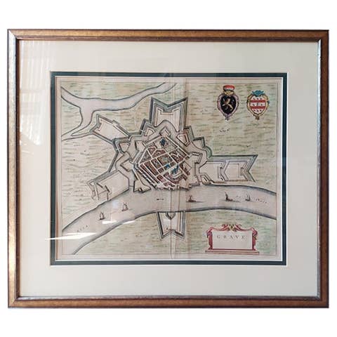
Antique Map of the City of Grave by Blaeu, 1649
1649 · € 465
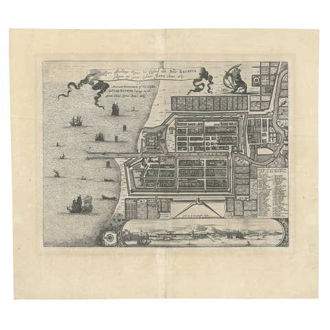
Antique Map of Batavia 'Jakarta', Indonesia by Montanus, circa 1669
1669 · € 1 250
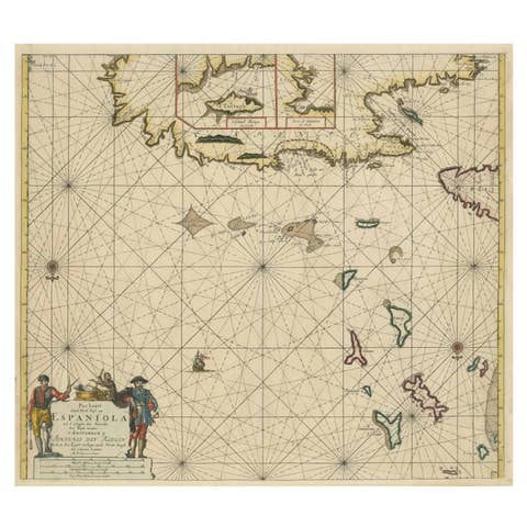
Original Antique Sea Chart - the Northern Part of Hispaniola, Western Cuba, 1684
1684 · € 1 900
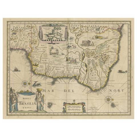
Antique Engraving of Blaeu's first Map of Brazil, Circa 1640
1640 · € 1 400
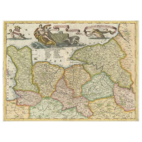
Decorative Original Antique Map of Normandy, France, circa 1690
1690 · € 960
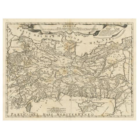
Original Italian Antique Map of Asia Minor, Cyprus, Neighboring Regions, 1686
1686 · € 630
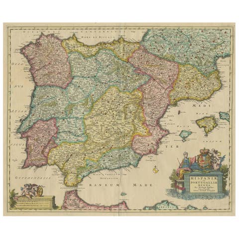
Antique Map of the Iberian Peninsula with two decorative Cartouches, c.1680
1680 · € 1 490
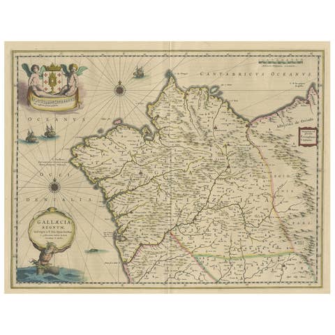
Antique Map of Gallaecia Regnum by W.J. Blaeu, Paper, Circa 1640
1640 · € 520
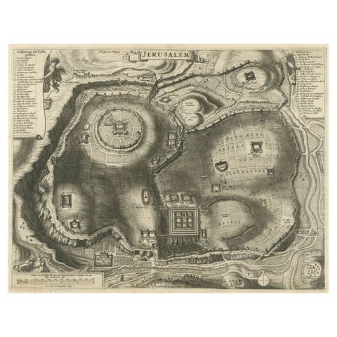
Plan of Ancient Jerusalem – Cornelis de Bruijn’s Engraved City View c.1698
1698 · € 540
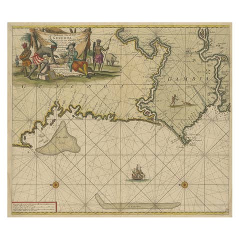
Orginal Antique Sea Chart of the Western Coast of Africa, circa 1697
1697 · € 720
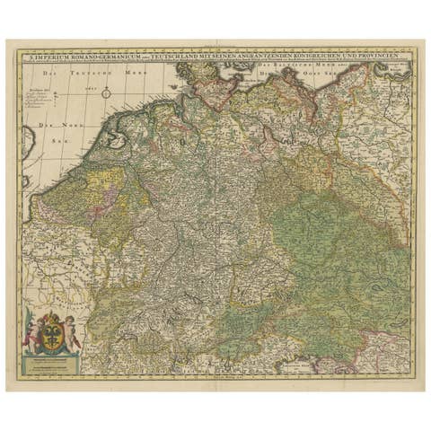
Antique Map of Germany and Central Europe, ca.1690
1690 · € 1 100
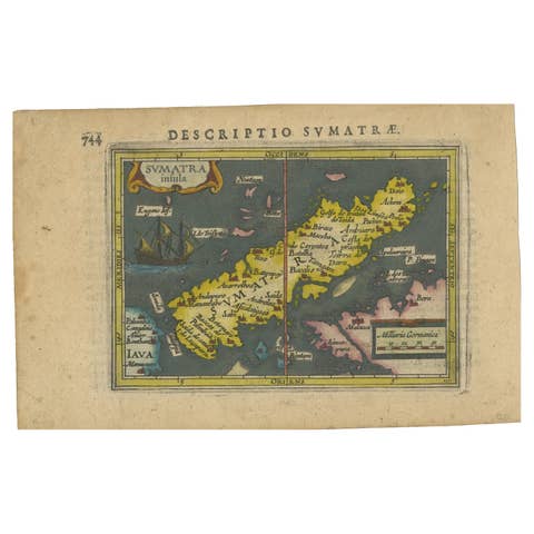
1616 Bertius Map of Sumatra, Singapore and the Straits of Malacca
1616 · € 840
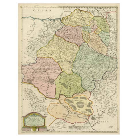
Antique Map of Navarre by Nicholas Sanson, Pamplona Focus, 1652
1652 · € 590
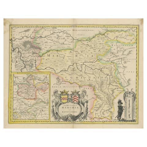
Map of Comitatus Marchia et Ravensberg: Historical Counties in Germany, c.1660
1660 · € 495
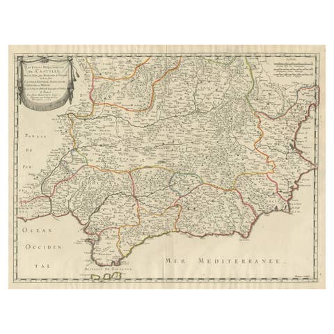
Large Map of Castile's Southern Realms - Granada, Andalusia, and Murcia, 1652
1652 · € 480

Authentic 1644 Janssonius Map of the Champagne Region (Campania) in France
1644 · € 640
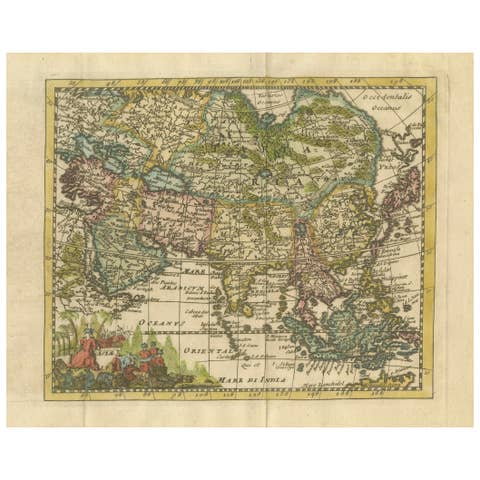
Cartographic Elegance: The Art and Science of 17th-Century Asian Maps, ca.1681
1681 · € 390
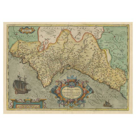
Decorative Original Antique Map of Valencia in Southern Spain, circa 1601
1601 · € 1 400
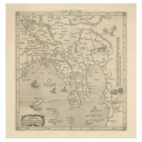
1698 Mercator Ptolemaic Map of Asia East of the Ganges
1698 · € 940
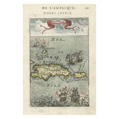
Antique 1683 Map of Hispaniola and Puerto Rico in the Caribbean by Mallet
1683 · € 380
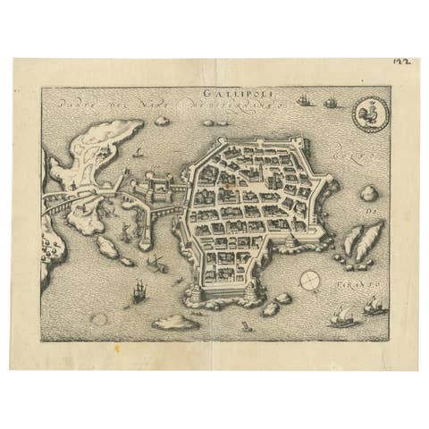
Bird’s-Eye View Map of Gallipoli: Fortified Ionian Gem by Mattheus Merian, 1688
1688 · € 370
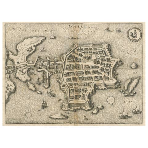
Gallipoli Fortifications: A 1688 Engraved Bird’s-Eye Map by Mattheus Merian
1688 · € 310
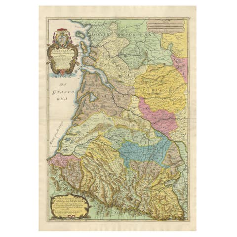
Large 1695 Hand-Colored Engraved Map of Gascony (Gascogna), France
1695 · € 2 250
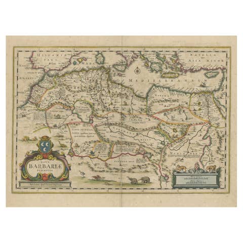
1640 Map of North Africa Nova Barbariae Descriptio or The Barbarian Coast
1640 · € 470

1684 Mallet Map of Amazon River & Kingdom of Amazons – Hand Colored, Miniature
1684 · € 440

1645 Blaeu Map of Westmorland, Northern England – Hand Colored, Decorative
1645 · € 1 250
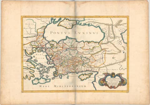
1667 Melchior Tavernier Map of the Patriarchate of Constantinople – Black Sea
1667 · € 780
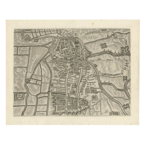
Map of Groningen from The Genealogy of the Illustrious Counts of Nassau (1615)
1615 · € 550
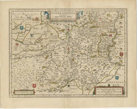
Historic Map of the Bishopric of Paderborn by Blaeu, a Masterpiece of 1645
1645 · € 520
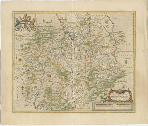
Bishopric of Hildesheim Map in Northern Germany by Willem & Joan Blaeu, 1645
1645 · € 520

Map of Styria by William Blaeu, 1645: A Masterpiece of 17th-Century Cartography
1645 · € 590
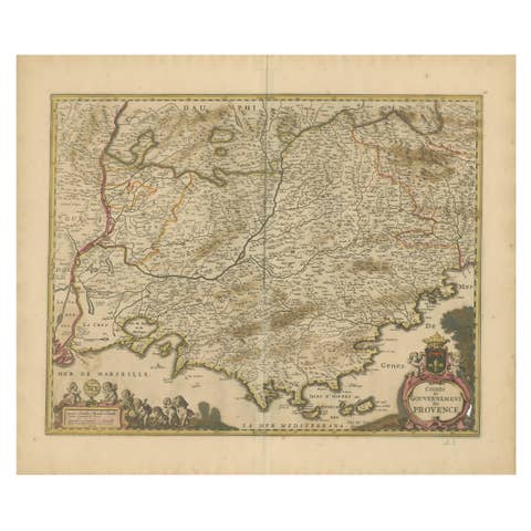
Map of the Provence in Southern France, Original Old Engraving by De Wit c. 1688
1688 · € 390
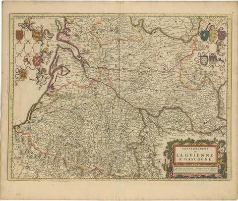
Gascogne and Guyenne Map - Hand-Colored 17th-Century Engraving by De Wit, c.1688
1688 · € 590
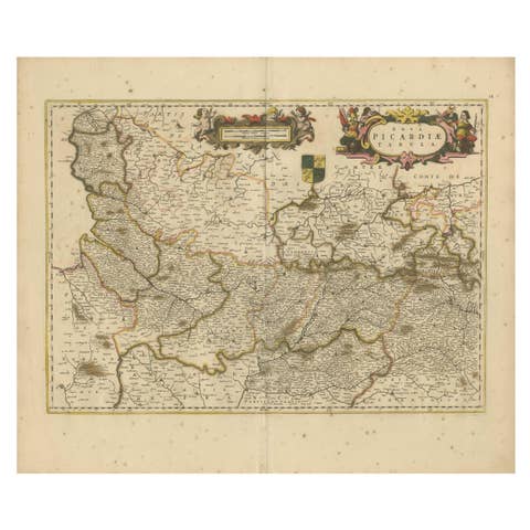
Picardy Map - Hand-Colored 17th-Century Engraving by Frederik De Wit c. 1688
1688 · € 350
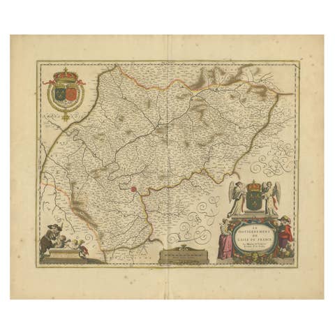
Île-de-France Map, including Paris - Hand-Colored Engraving by F. De Wit c. 1688
1688 · € 590
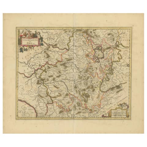
Rare Hand-Colored Map of Champagne and Brie, France, by Frederik De Wit c. 1688
1688 · € 620
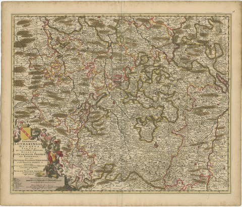
Rare Hand-Colored Map of Lorraine and Barrois, France by Frederik De Wit c. 1688
1688 · € 540
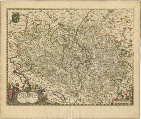
Rare Hand-Colored Map of Franche-Comté and Burgundy by Frederik De Wit c. 1688
1688 · € 640
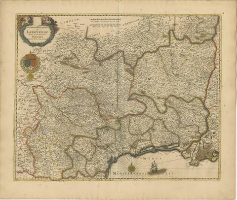
Stunning Hand-Colored Map of Languedoc in France by Frederik De Wit c. 1688
1688 · € 640
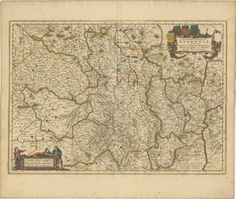
Rare Hand-Colored Map of Lyonnais Region in France by Frederik De Wit c. 1688
1688 · € 640
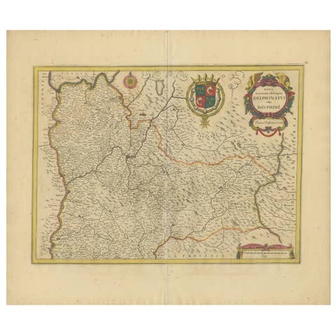
Rare 17th-Century Map of Dauphiné in Southeastern France by F. De Wit, ca.1688
1688 · € 640