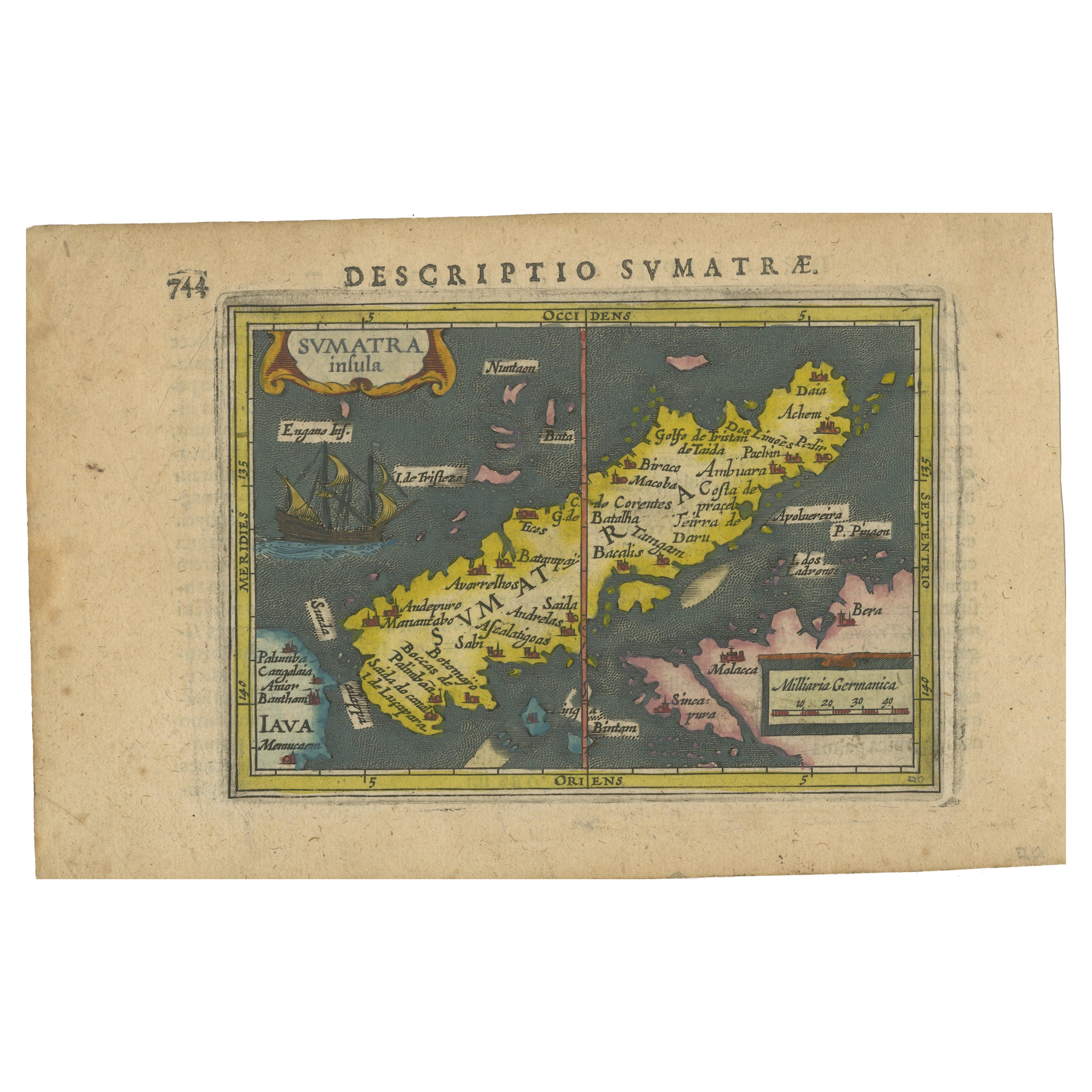
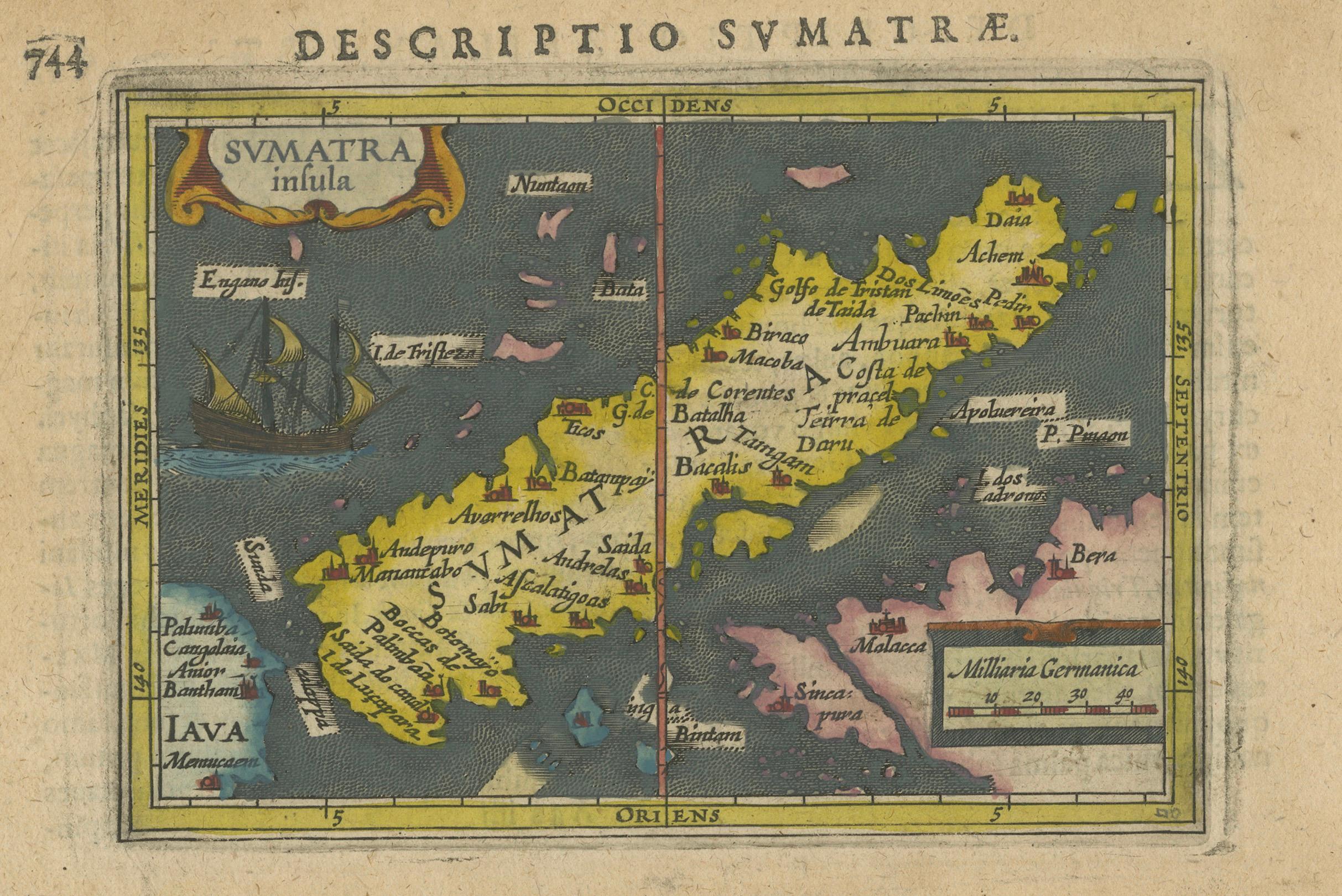
1616 Bertius Map of Sumatra, Singapore and the Straits of Malacca
€ 840
One of a kind: this is the sheet in the photographs. Ships from Langweer, the Netherlands.
Date
1616
Sheet size
12 × 19 cm (4.7 × 7.5 in)
Condition
Good
Reference
BG-13631
Condition
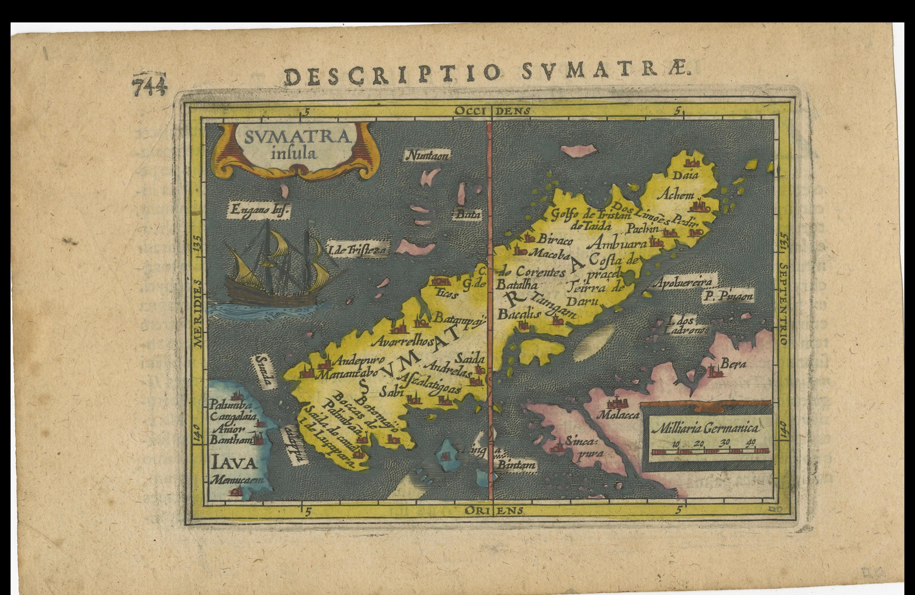
The map, never folded, is in very good condition, with light age-related browning at the margins and attractive old-time coloring. Latin text on the reverse. Study the images carefully.
About this sheet
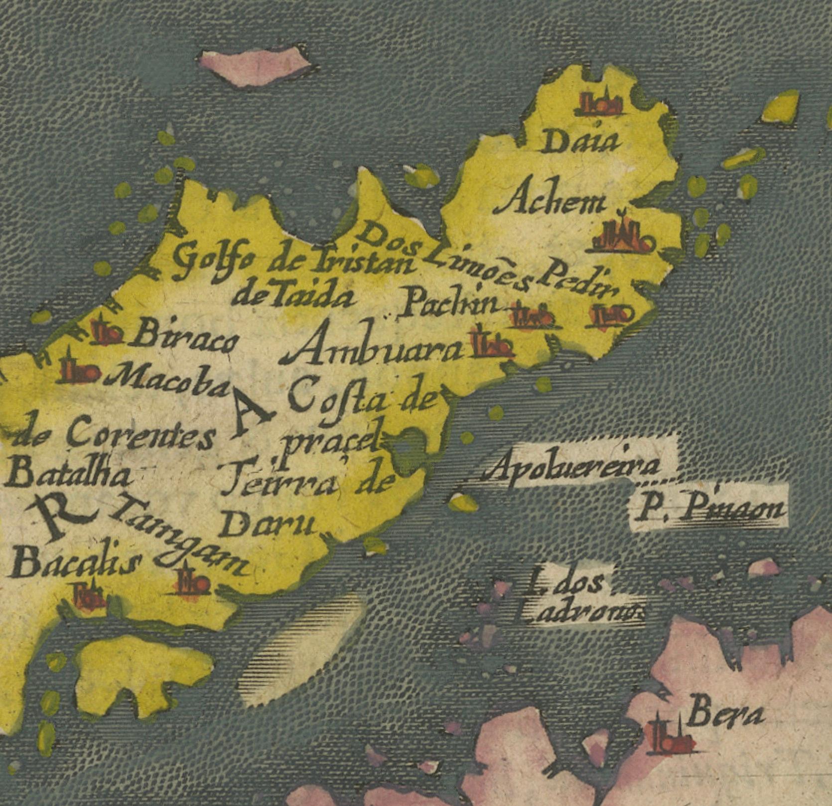
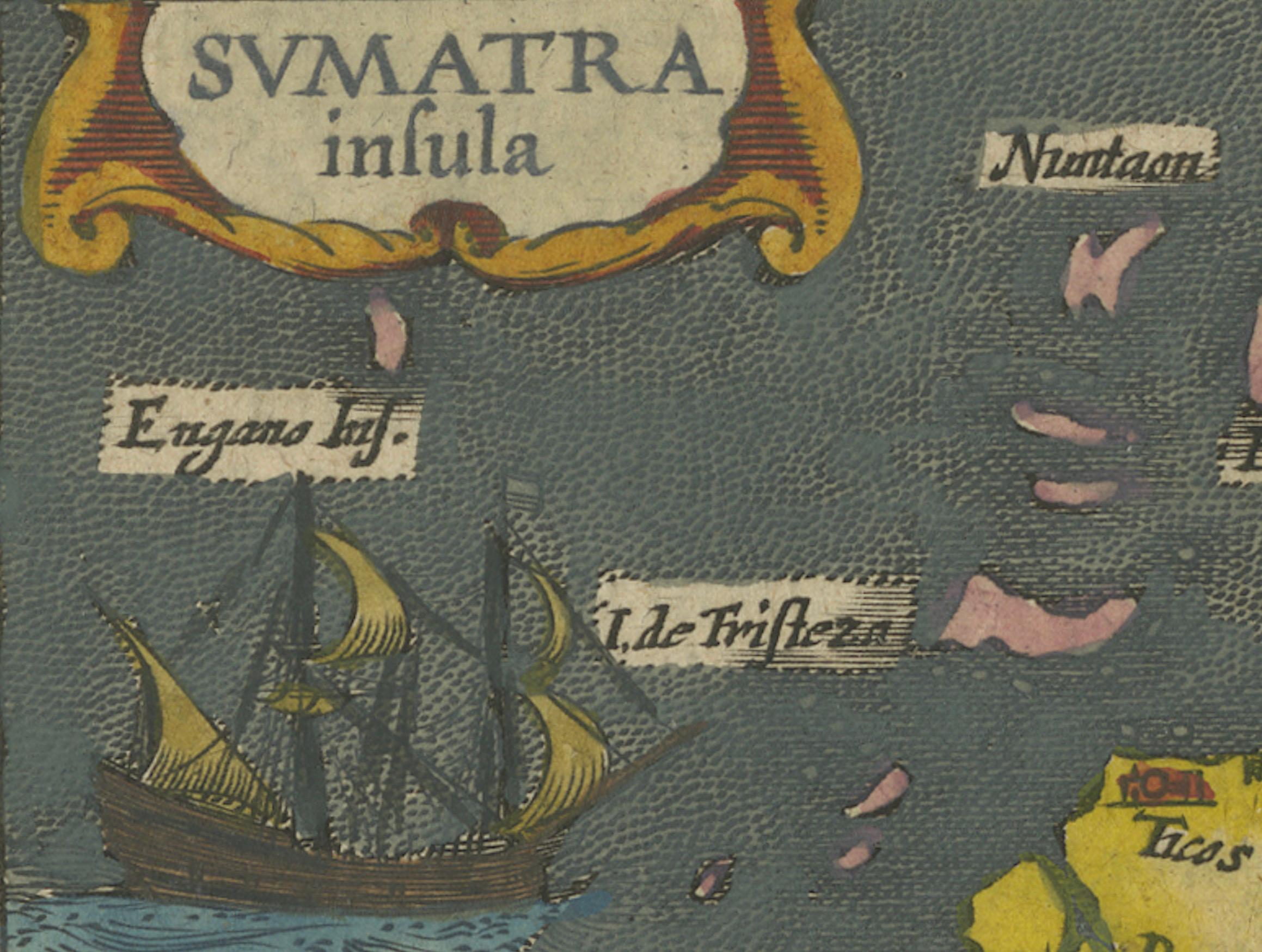
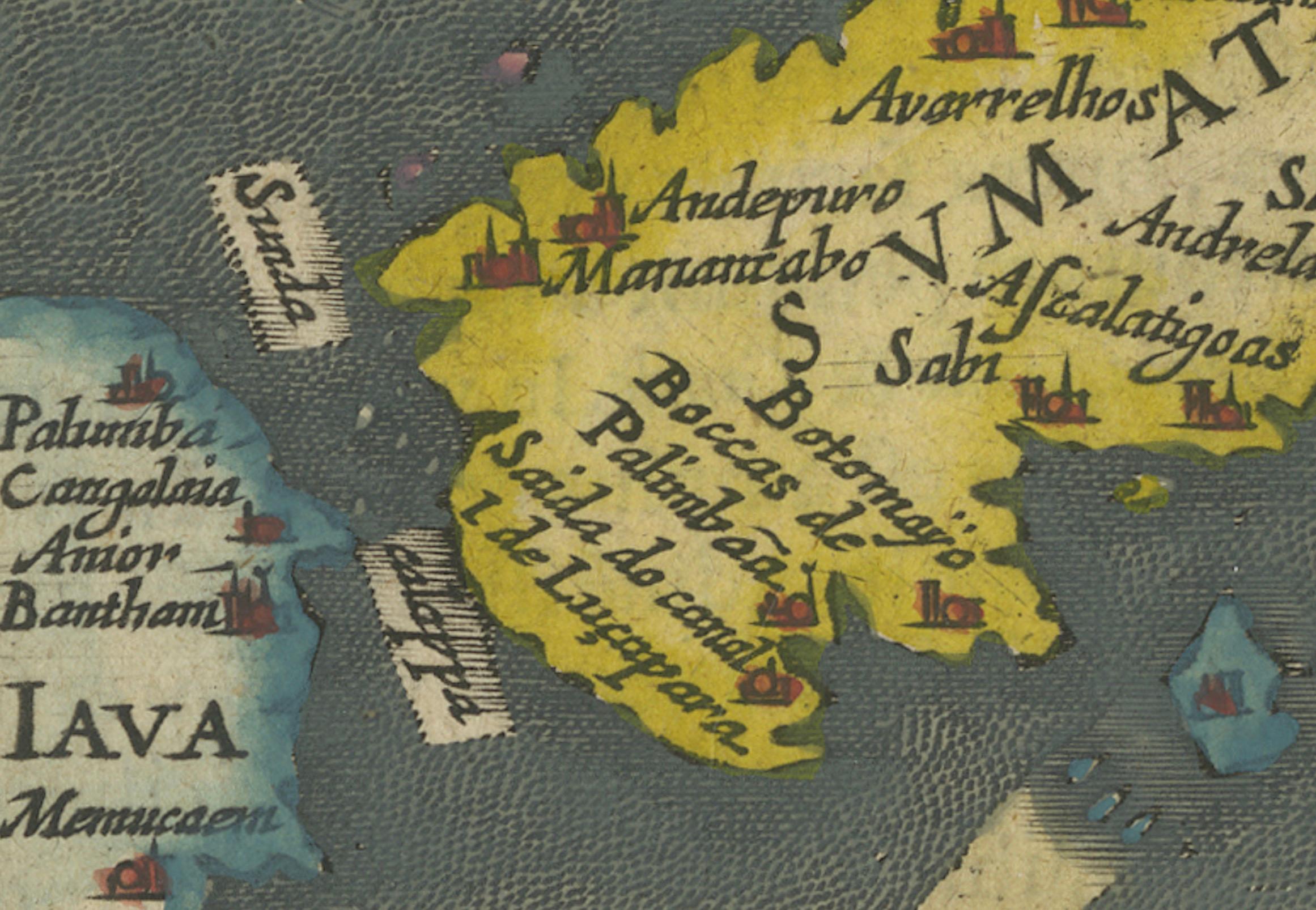
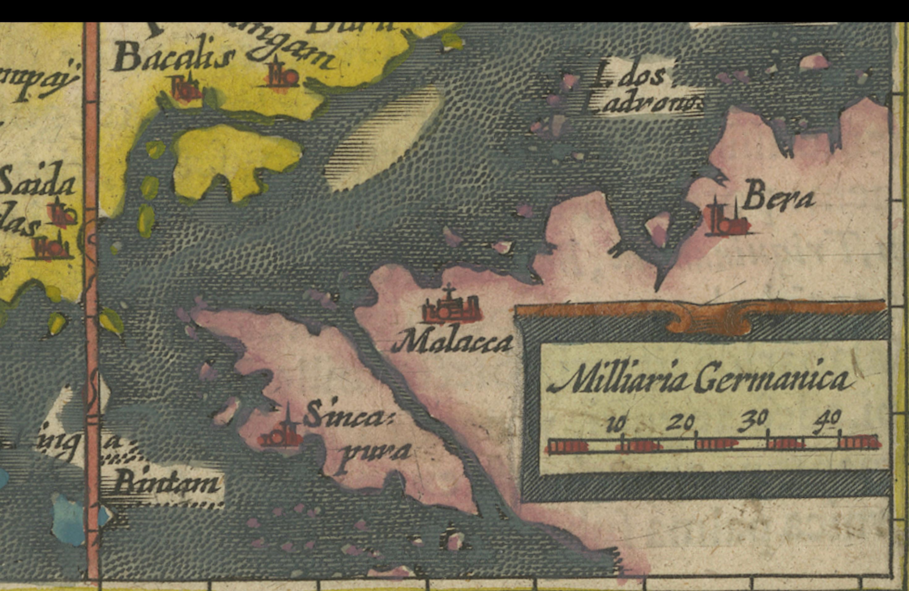
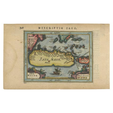
This is an exquisite 1616 original antique map by Petrus Bertius, titled "Sumatra Insula," showcasing Sumatra and the southern tip of Malaysia, with a unique early depiction of Singapore as 'Sinca: pura'. Oriented with north to the right, it stands as one of the earliest detailed maps emphasizing the Straits of Malacca. The map, never folded, is in very good condition, with light age-related browning at the margins and attractive old-time coloring. Latin text on the reverse side adds to its historical allure, making it a remarkable piece for collectors.
Petrus Bertius was a Flemish philosopher, theologian, historian, geographer, and cartographer, known for his work in mathematics, historical, and theological areas. He published an edition of Ptolemy's "Geographia" and is recognized for his contributions to cartography. Bertius was born in 1565 in Flanders and fled to London with his family for religious reasons, later studying at the University of Leiden. He had a significant academic career but eventually moved to France, where he became the cosmographer to Louis XIII and converted to Catholicism. He passed away in Paris in 1629.