Maps & PrintsBartele Gallery · Langweer
Home / Antique Maps / Europe / Western Europe / Germany

Germany · 17th century

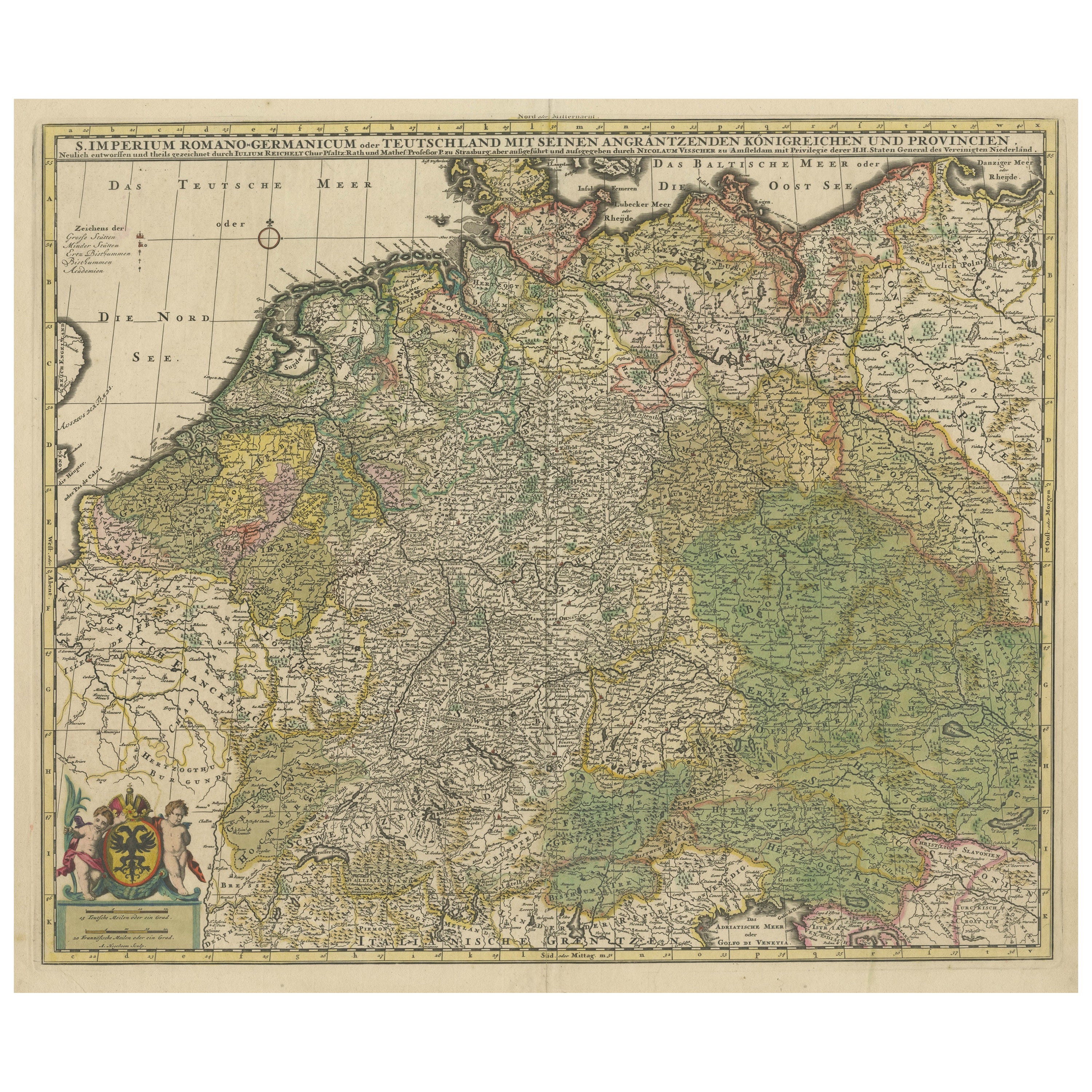

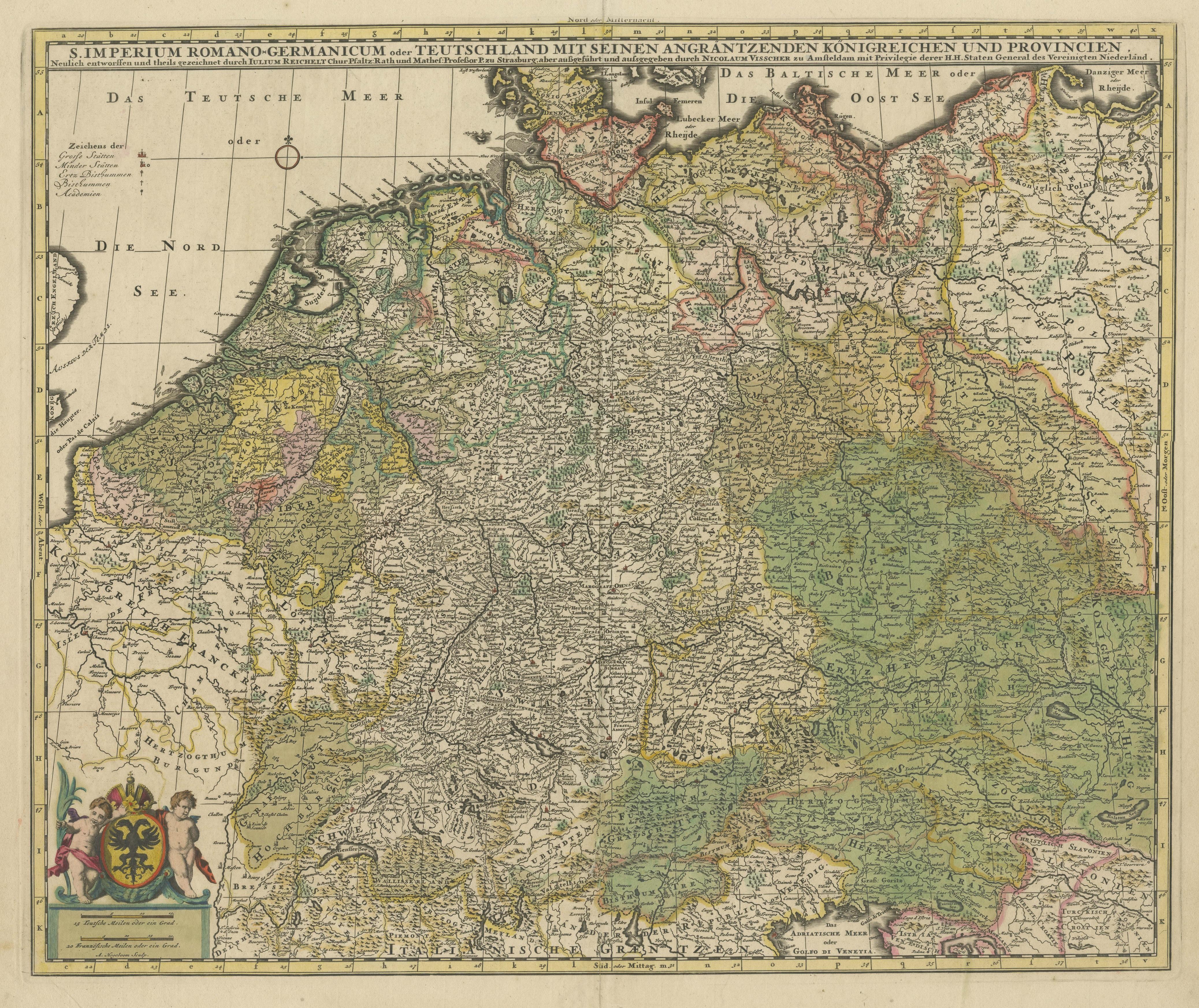
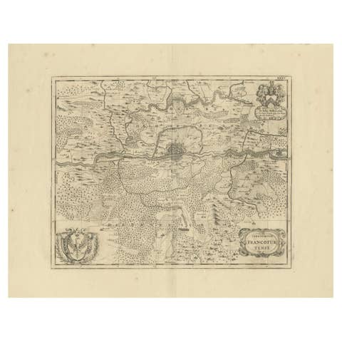
Antique Map of Germany and Central Europe, ca.1690

€ 1 100

One of a kind: this is the sheet in the photographs. Ships from Langweer, the Netherlands.

Date
1690
Sheet size
52.5 × 61.5 cm (20.7 × 24.2 in)
Condition
Good
Reference
BG-13564

Condition

Repaired. Original/contemporary hand coloring. Original folding line, with repairs. Shows some wear and soiling. Blank verso. Please study image carefully.
About this sheet

Antique map titled 'S. Imperium Romano-Germanicum oder Teutschland mit seinen angrantzenden Königreichen und Provincien'. Original antique map of Germany covering the central part of Europe with Germany in the center and the Netherlands in west. With one cartouche containing cherubs and coat of arms. Published by N. Visscher, circa 1690.

The Visscher family were art and map dealers in Amsterdam during the 17th century. Funded by C. J. Visscher (1587-1652), the business was continued by his son and grandson both named Nicolas. Nicolas Visscher I was born 1618 in Wenns, Austria. He died 1679 in Linz. After the death of Nicolas II, his widow passed the business to Pieter Schenk.

More from Germany

Ask about this sheet

Antique Map of Germany and Central Europe, ca.1690
1690 · Ref. BG-13564 · € 1 100
We reply by email, usually within one working day.