Maps & PrintsBartele Gallery · Langweer
Home / Antique Maps / Europe / Western Europe / The Netherlands & Belgium

The Netherlands & Belgium · 17th century

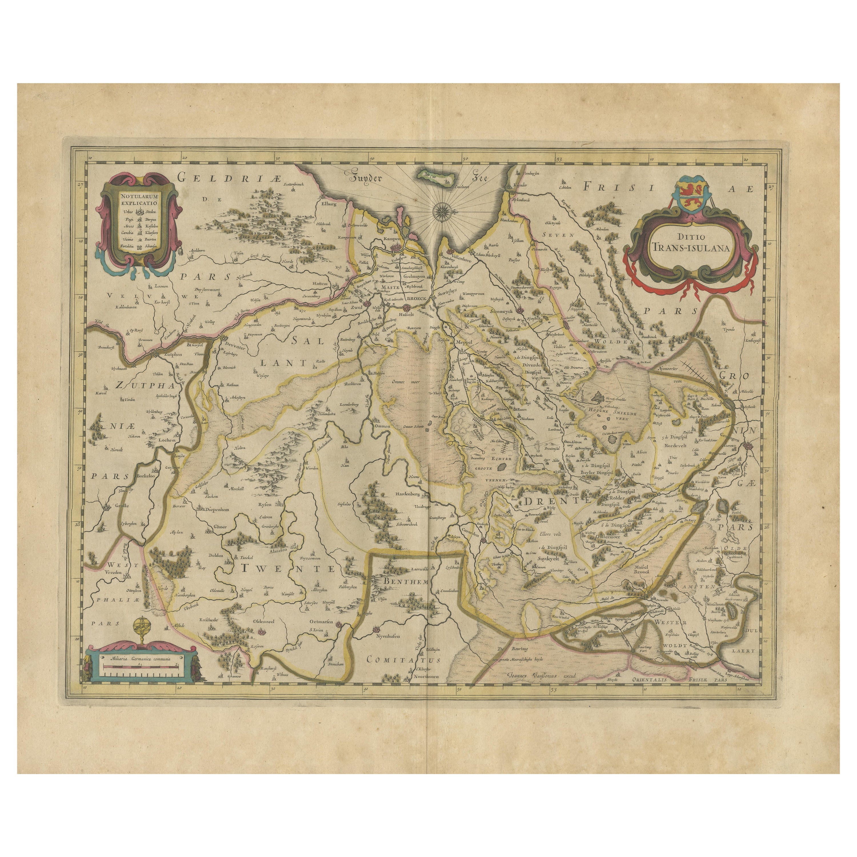
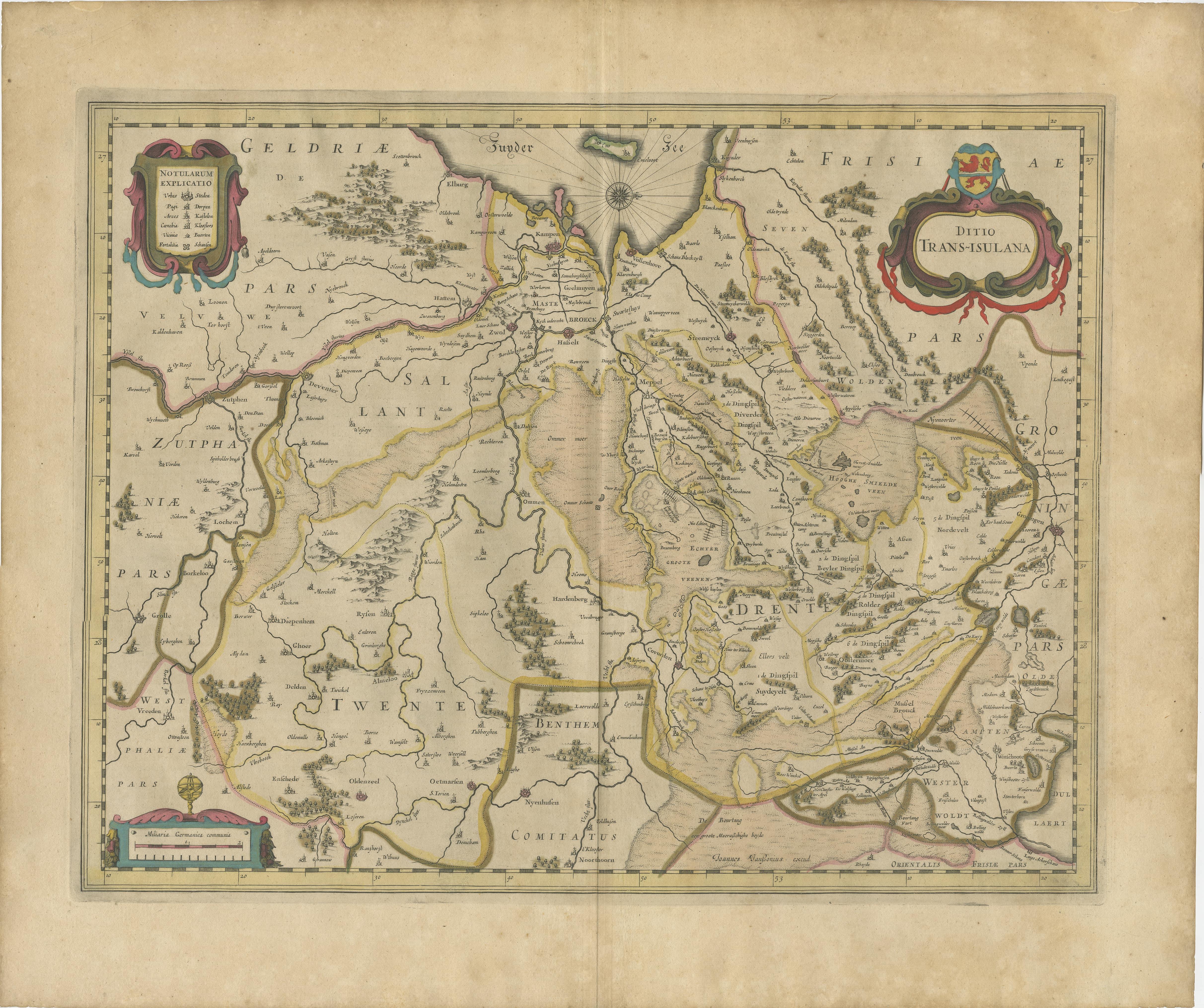
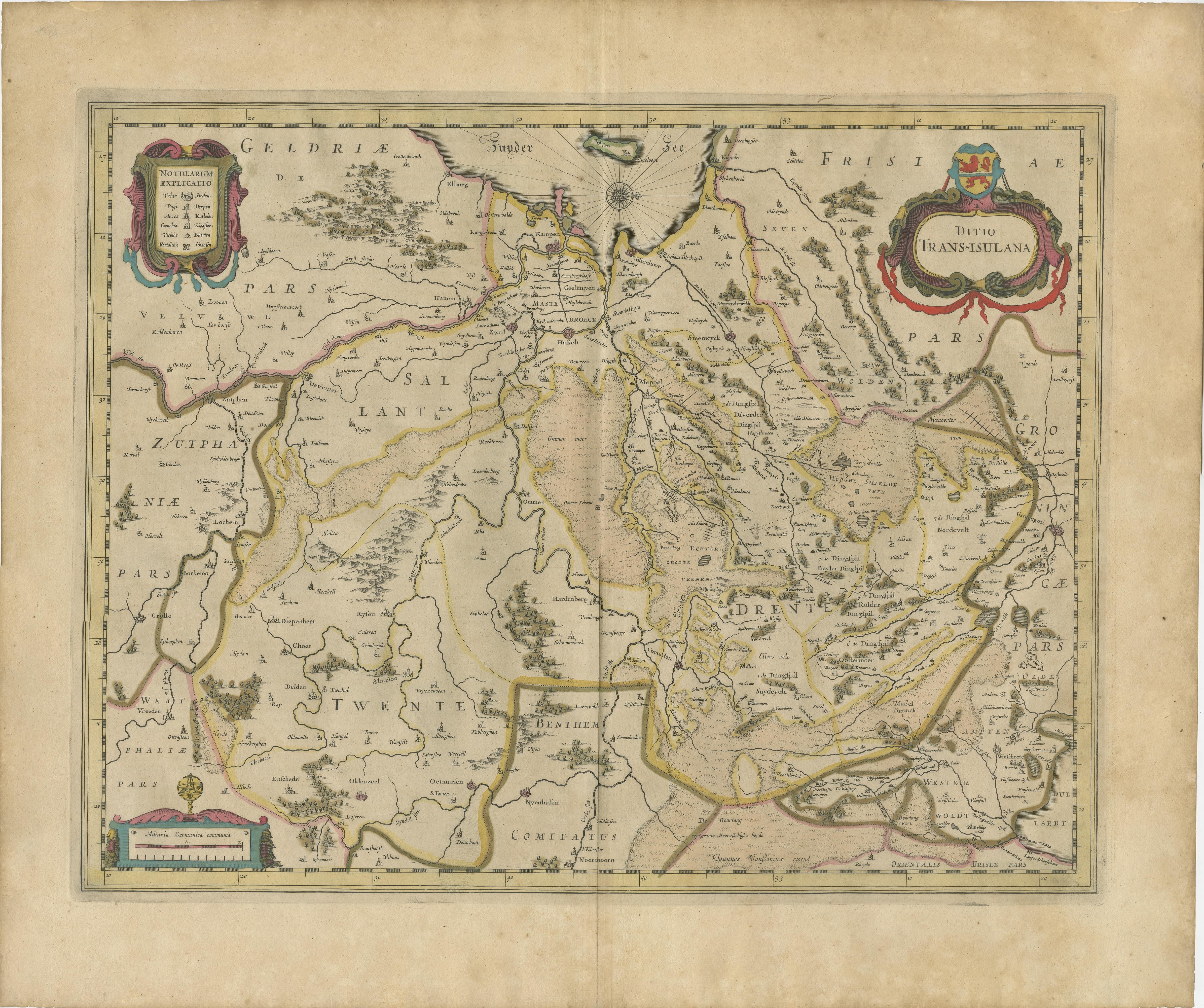
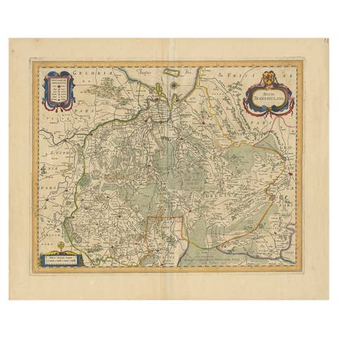
Antique Map by Janssonius of the Dutch Province of Overijsel, ca.1650

€ 440

One of a kind: this is the sheet in the photographs. Ships from Langweer, the Netherlands.

Date
1650
Technique
Engraved
Sheet size
49 × 58 cm (19.3 × 22.8 in)
Condition
Good

Condition

Good, given the age. Center fold as issued with wide margins. Sharp print with beautiful old-fashioned colouring. Latin text on verso. Paper overall equally slightly browned. Please study image carefully.
About this sheet

Very good, given the age. Center fold as issued with wide margins. Sharp print with beautiful old-fashioned colouring, carbon copy on verso. Paper in the margins somewhat browned.

More from The Netherlands & Belgium

Ask about this sheet

Antique Map by Janssonius of the Dutch Province of Overijsel, ca.1650
1650 · € 440
We reply by email, usually within one working day.