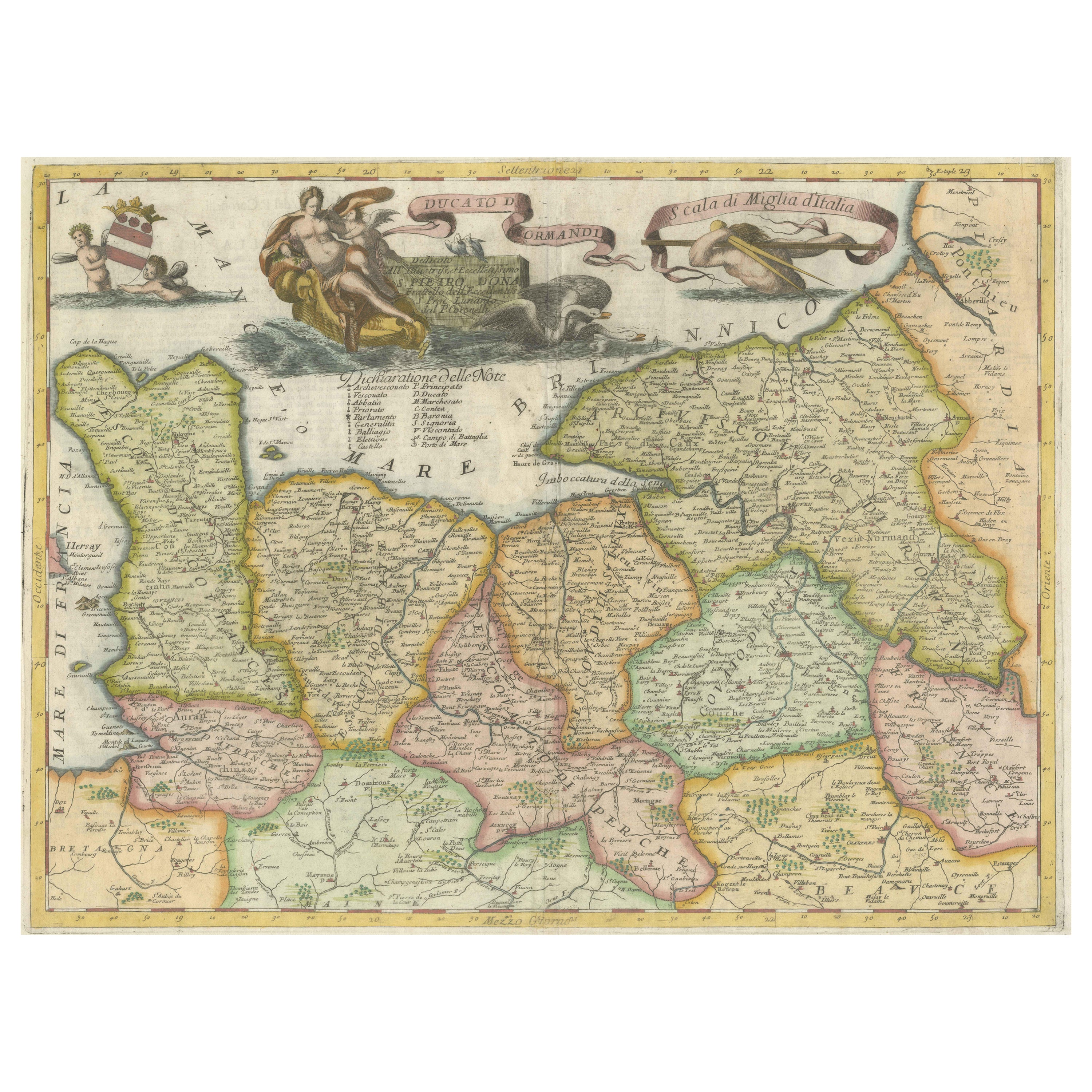

Decorative Original Antique Map of Normandy, France, circa 1690
€ 960
One of a kind: this is the sheet in the photographs. Ships from Langweer, the Netherlands.
Date
1690
Sheet size
49 × 67.3 cm (19.3 × 26.5 in)
Condition
Good
Reference
BG-13233
Condition
Wear consistent with age and use. General age-related toning, minor wear. Later hand coloring. Italian text on verso and 2 other small black and white maps (Havre de Grace & Dieppe). Please study image carefully.
About this sheet
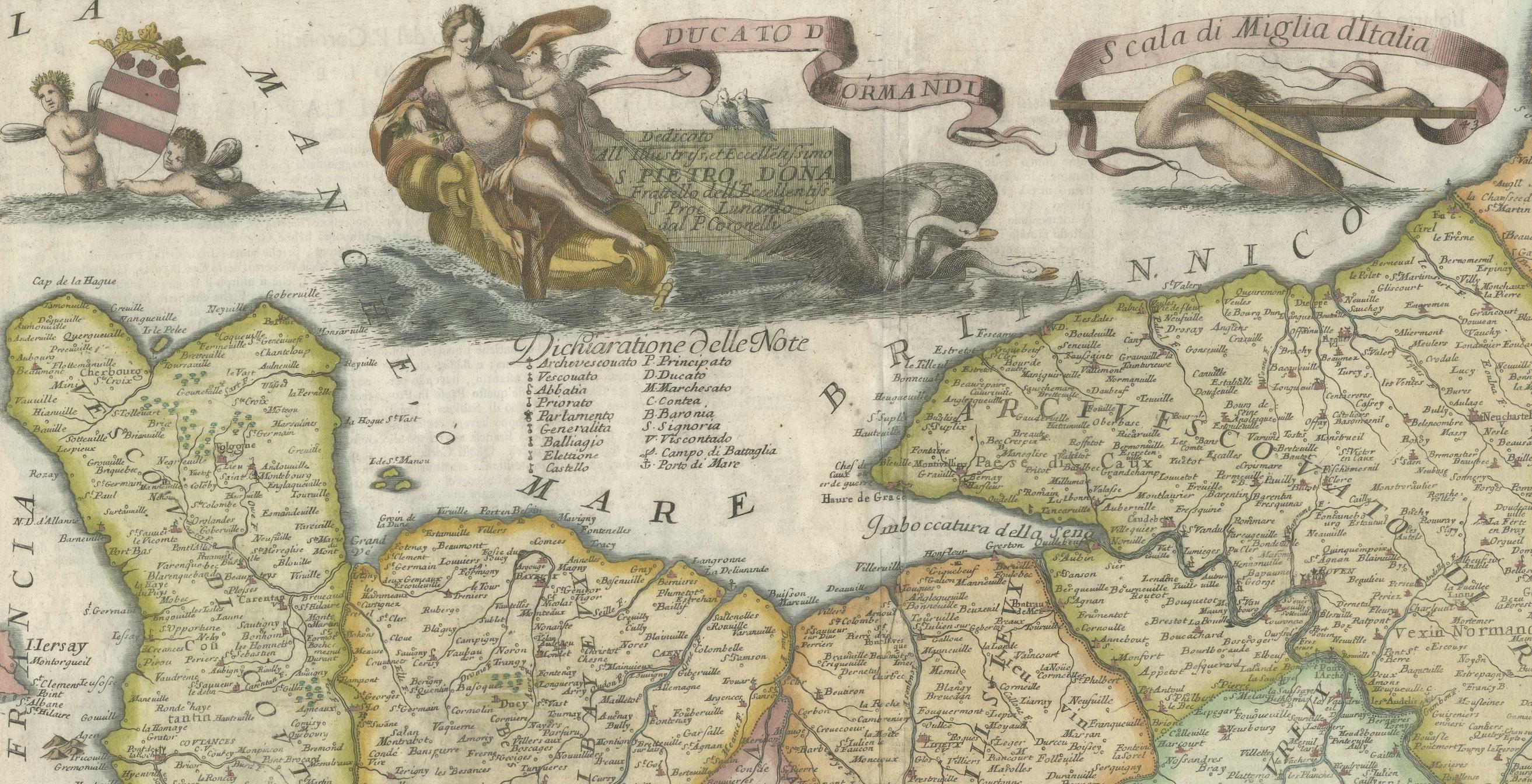
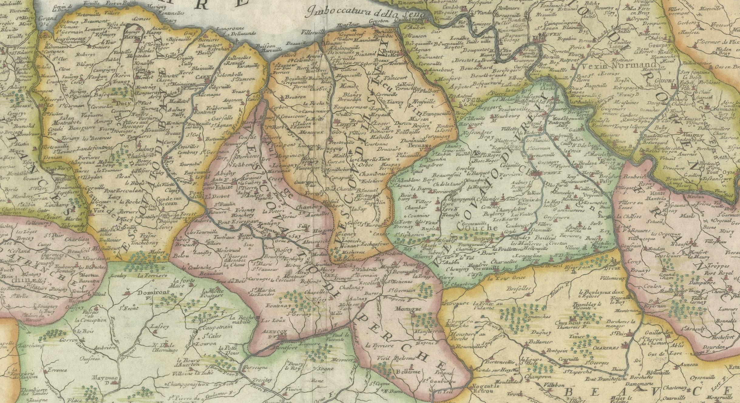
Original antique map titled 'Ducato D'Normandie Scala di Miglia d'Italia'. Very decorative map of Normandy, with a fine title cartouche featuring Leda in her carriage drawn by swans. On verso are plans of Le Havre and Dieppe.
Published by Vincenzo Coronelli, c.1690. Vincenzo Maria Coronelli, a Venetian scholar and Minorite Friar, was one of the most celebrated map and globe makers of his era. Cornelli produced more than one hundred terrestrial and celestial globes, several hundred maps, and a wealth of cartographic publications. In 1683, he completed the Marly Globes for Louis XIV, the largest and most magnificent globes ever made. In 1684 he founded the Academia Cosmografica degli Argonauti, the first geographical society, and was appointed Cosmographer of the Republic of Venice.