Cartographic Elegance: The Art and Science of 17th-Century Asian Maps, ca.1681
€ 390
One of a kind: this is the sheet in the photographs. Ships from Langweer, the Netherlands.
Date
1681
Sheet size
19 × 23.4 cm (7.5 × 9.2 in)
Reference
BG-13720
Condition
good, given age. General age-related toning and/or occasional minor defects from handling. Please study scan carefully.
About this sheet
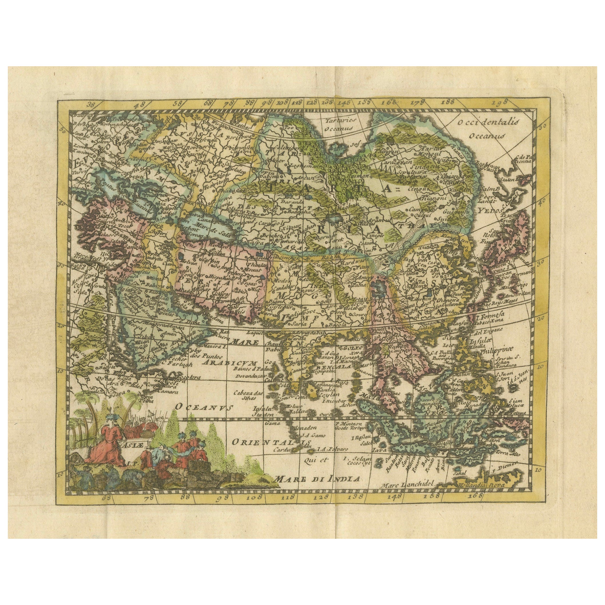
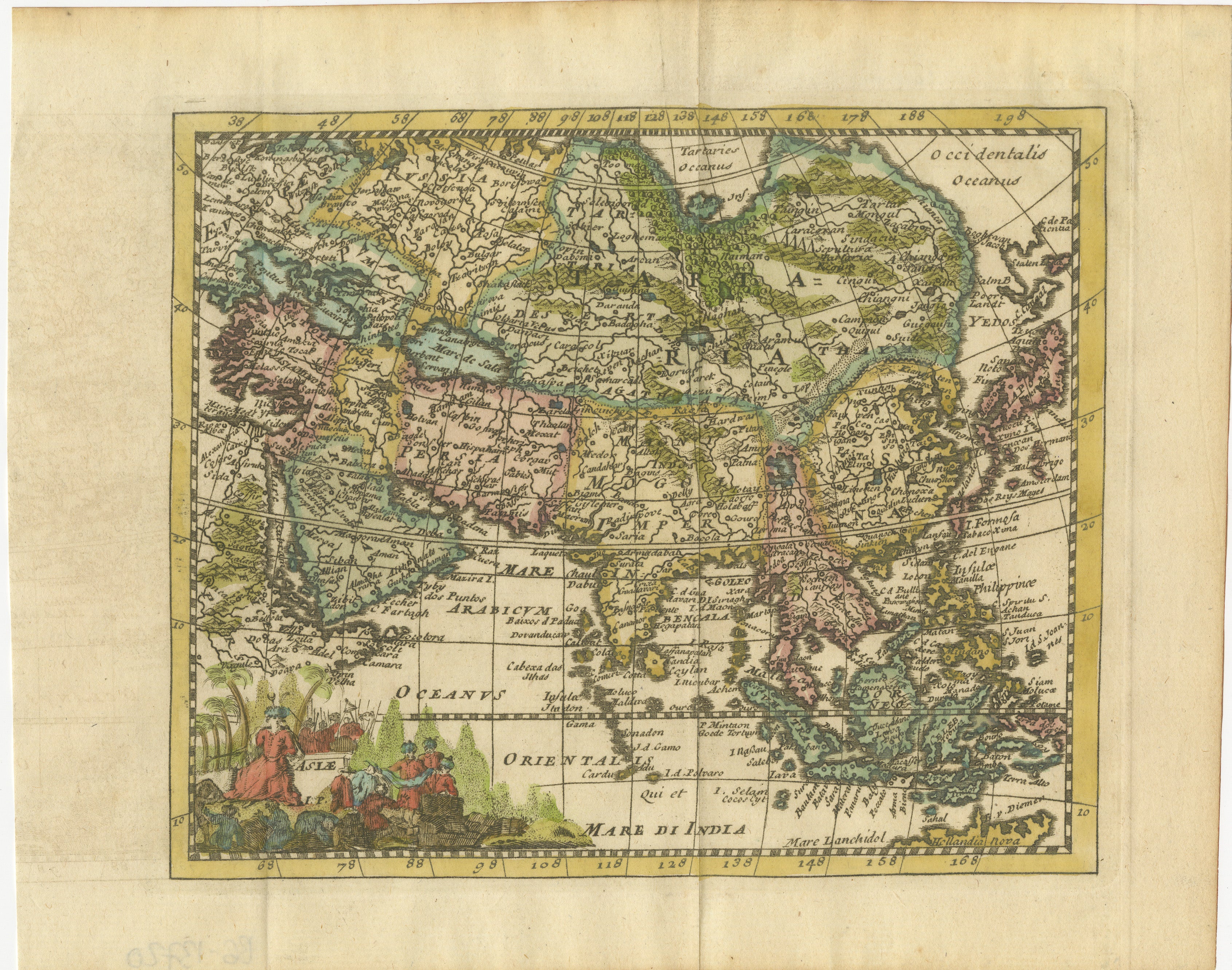
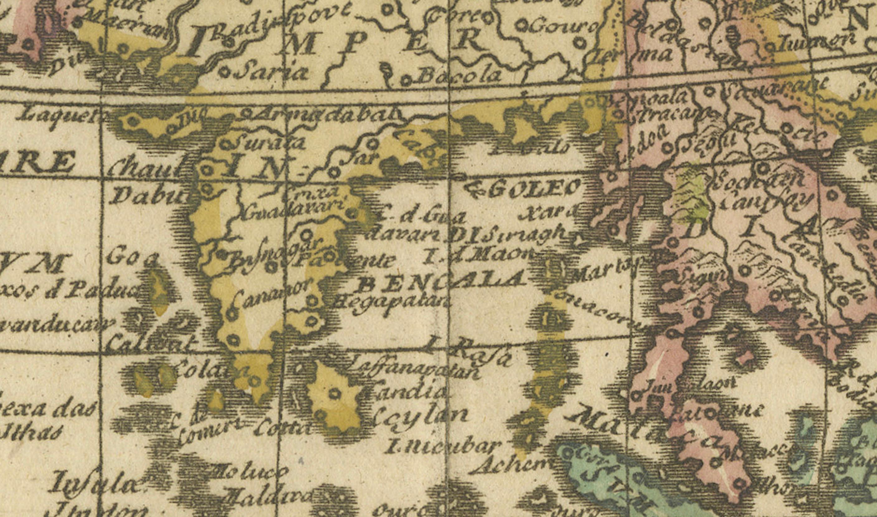
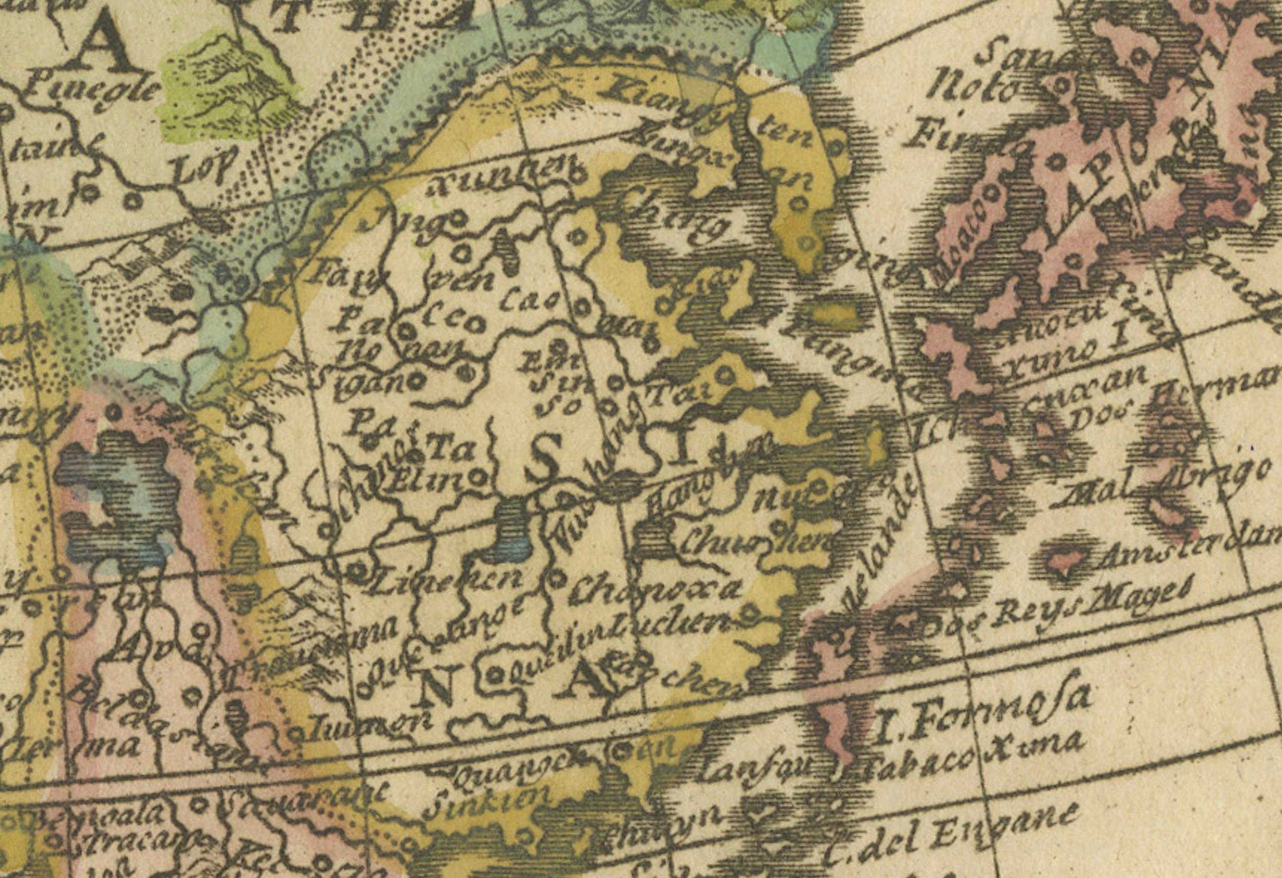
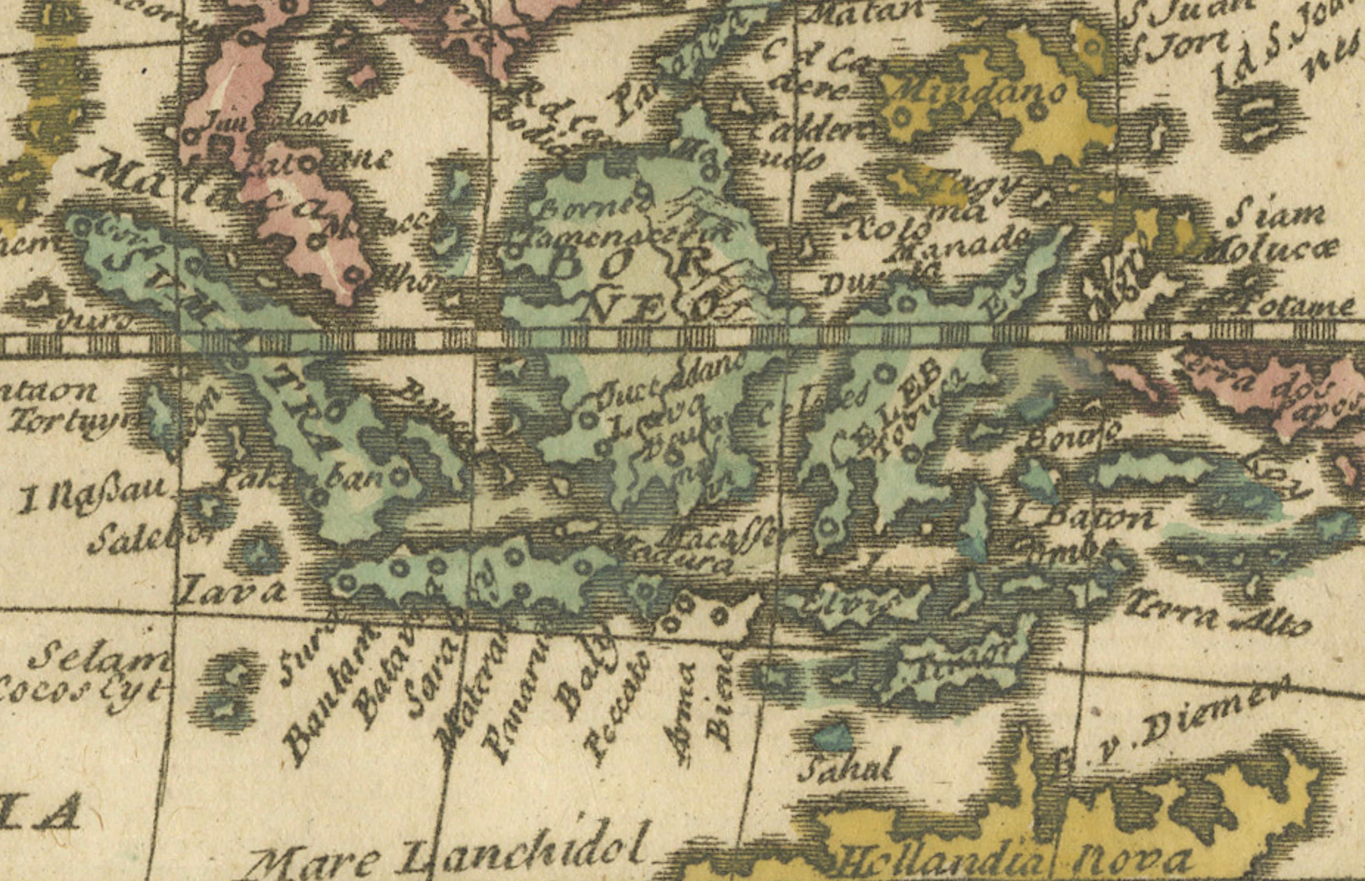
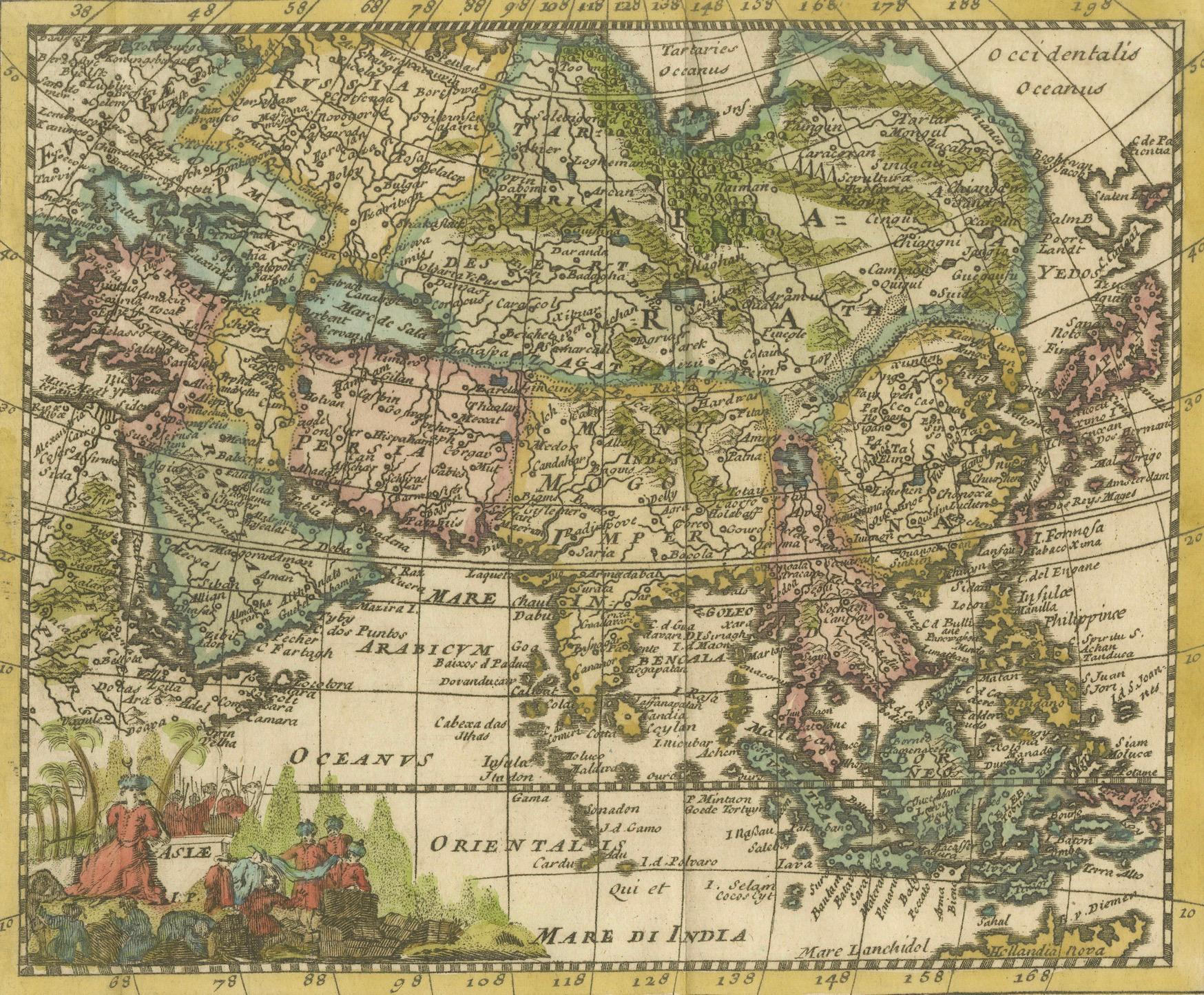
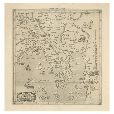
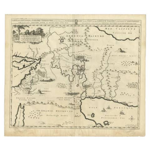
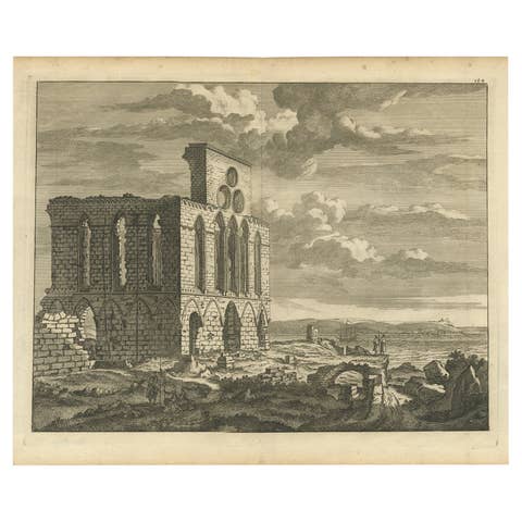
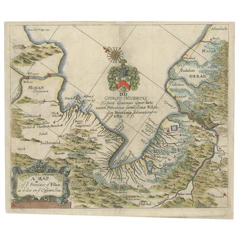
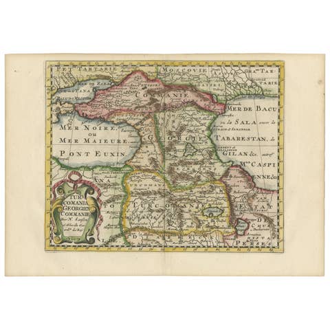
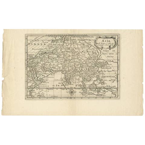
This original antique map is an artifact from a pivotal era in cartography, reflecting not only the geographical knowledge of its time but also the intertwining of art and science in map-making.
The description indicates that it is an original colored copperplate print, which was a common technique used in the 17th century for producing maps. The copperplate engraving process involves etching or engraving the map onto a copper plate, which is then used to print the image onto paper. The addition of color was often done by hand, making each colored map from this period unique.
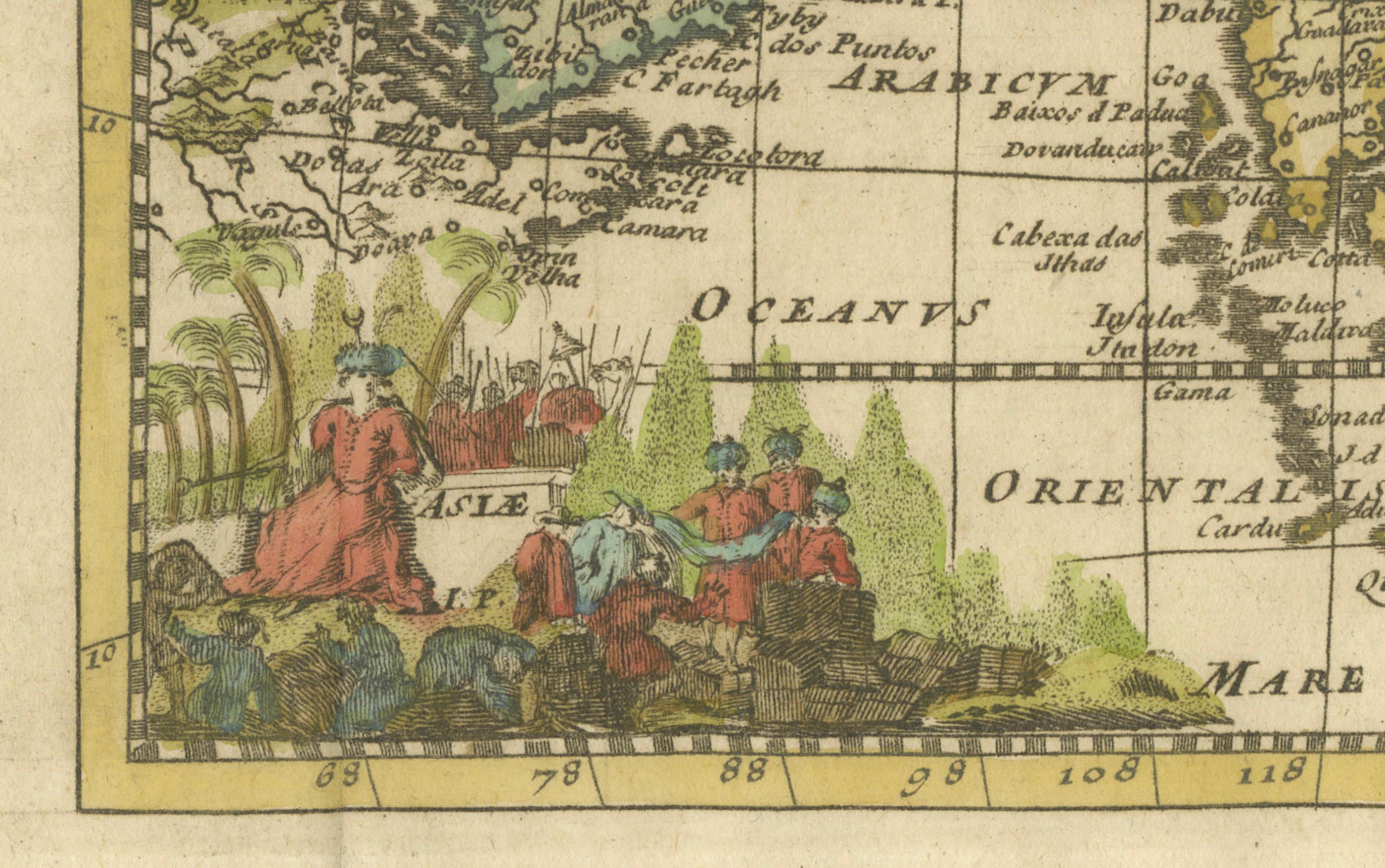
As for the cartographer, J. Harrewijn (also known as Jacques Harrewijn), he was an artist and engraver from the Low Countries, working around the late 17th century. While not as widely known as some of his contemporaries, Harrewijn contributed to the craft of mapmaking during a time often referred to as the "Golden Age of Cartography." This period was characterized by significant advancements in navigational techniques and a growing European interest in global exploration and trade. It was common during this era for cartographers to integrate current knowledge from explorers and scholars with decorative elements that made the maps not only informative but also visually appealing.
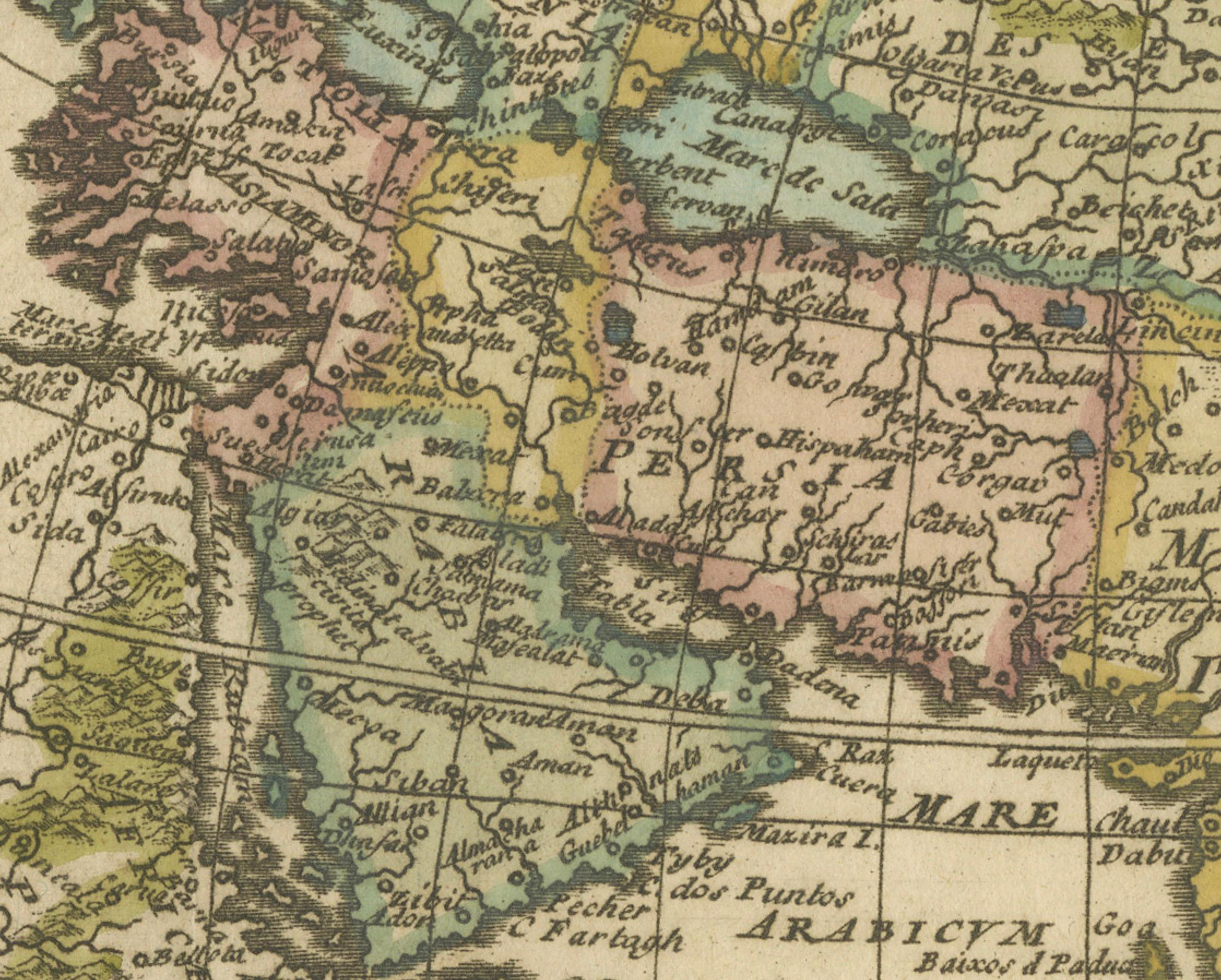
In terms of historical context, the map captures a time when the understanding of Asia's geography was evolving rapidly due to increased exploration and trade. The map's detail and artistic style provide insight into how Europeans of the time perceived the vast and diverse continent of Asia. The historical significance of such a map is profound, as it represents a bridge between ancient knowledge and the modern understanding of the world.
Asia's history, as mentioned, is vast and complex, with the development of civilizations across its various regions. It's important to recognize that while maps from this period attempted to be accurate, they were often influenced by the cartographer's limited knowledge and the geopolitical agendas of their patrons.
Given Harrewijn's contributions as a cartographer, his works would be of interest to historians, geographers, and collectors of antique maps. His engravings, like this map of Asia, serve as historical records that tell us about the state of geographical knowledge, as well as the artistry involved in the map-making process of his time.