
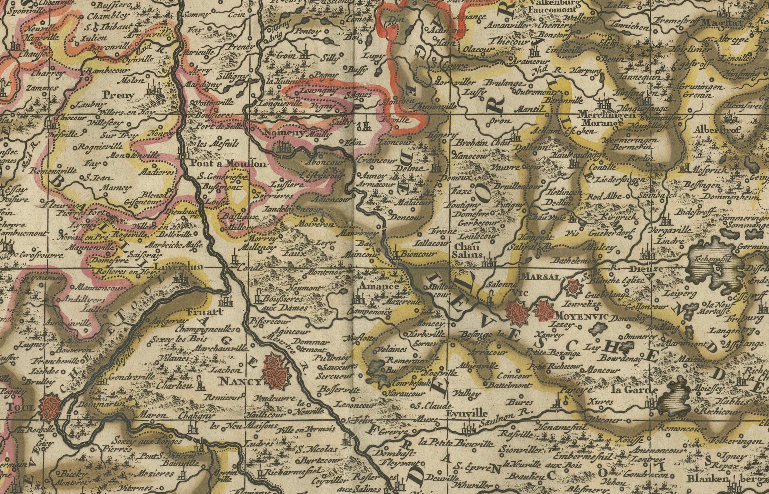
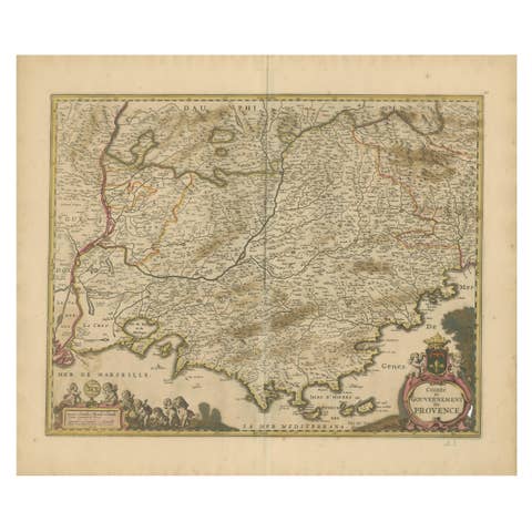
Rare Hand-Colored Map of Lorraine and Barrois, France by Frederik De Wit c. 1688
€ 540
One of a kind: this is the sheet in the photographs. Ships from Langweer, the Netherlands.
Date
1688
Sheet size
52.9 × 62 cm (20.8 × 24.4 in)
Condition
Good
Reference
BG-14046-6
Condition
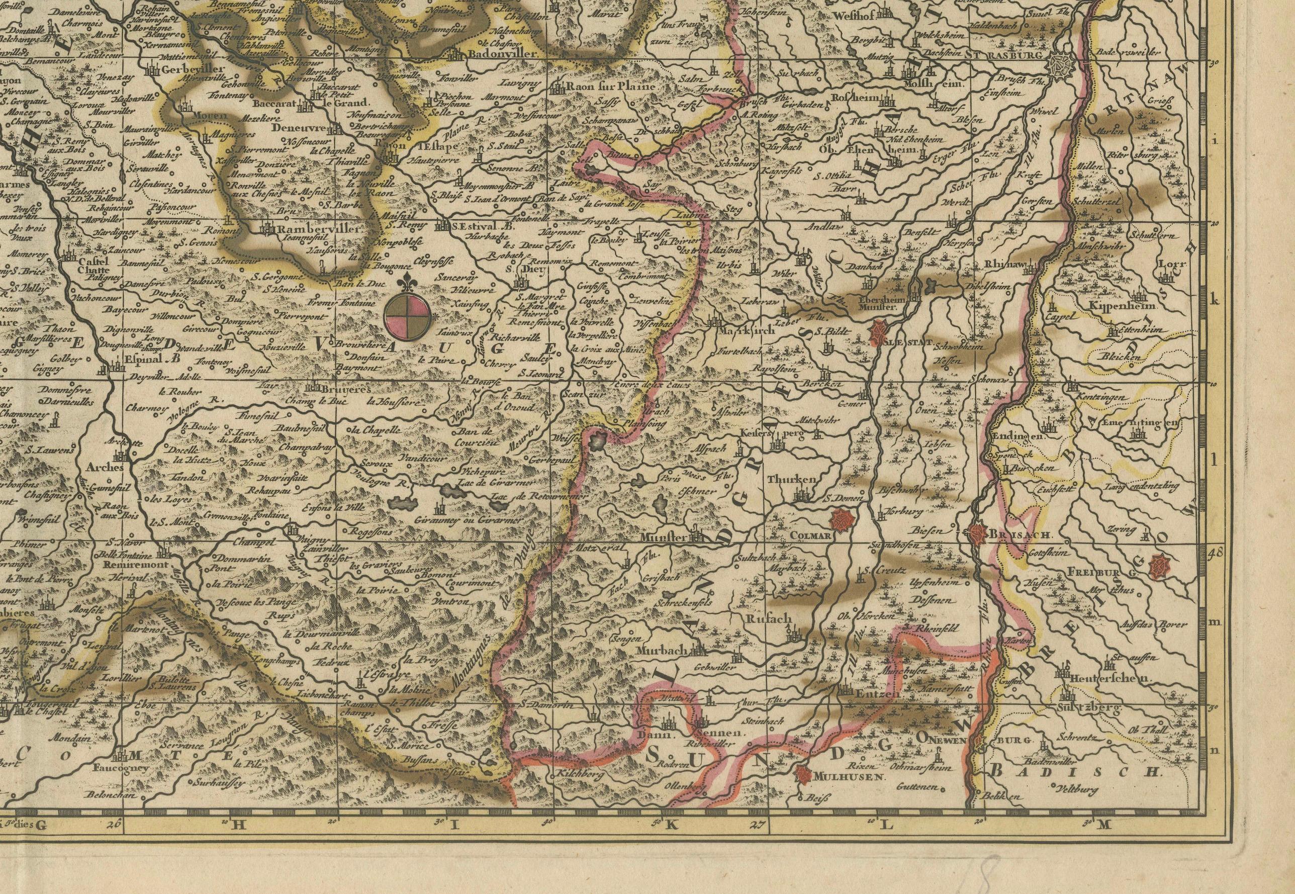
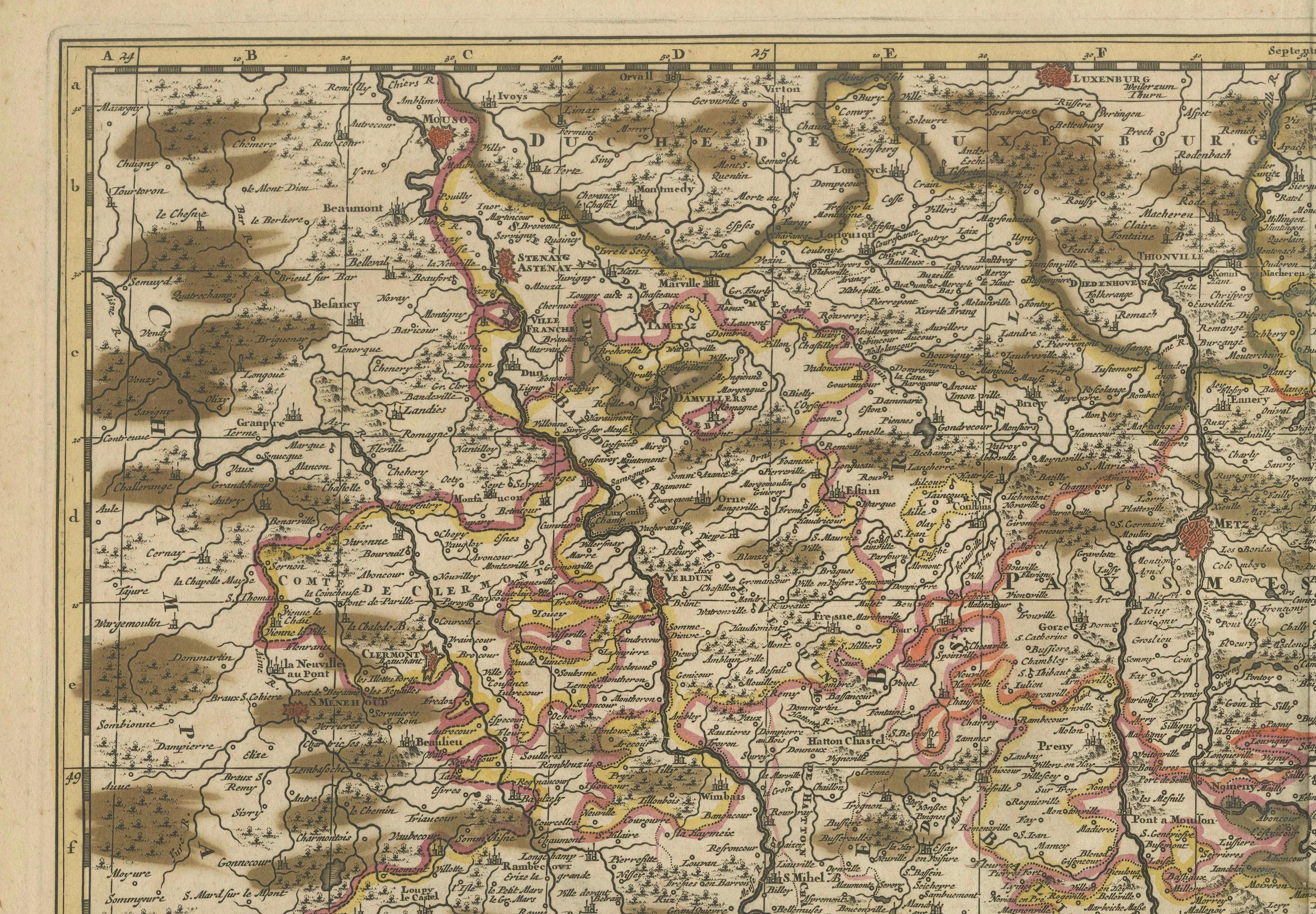
Condition Report: The engraving is in good to very good condition, with some offsetting or color bleeding visible. Minor age-related imperfections. Centrefold as issued. Please examine the image carefully for additional details.
About this sheet
This remarkable 17th-century map, titled "Generalis Lotharingiae Ducatus," offers a detailed depiction of the Duchy of Lorraine and Barrois, a historic region in northeastern France. Created by Frederik De Wit and published circa 1688, the map is adorned with vibrant original hand-coloring and intricate engravings. It meticulously illustrates towns, rivers, forests, and the region's rugged terrain, providing a visually stunning and historically significant representation.
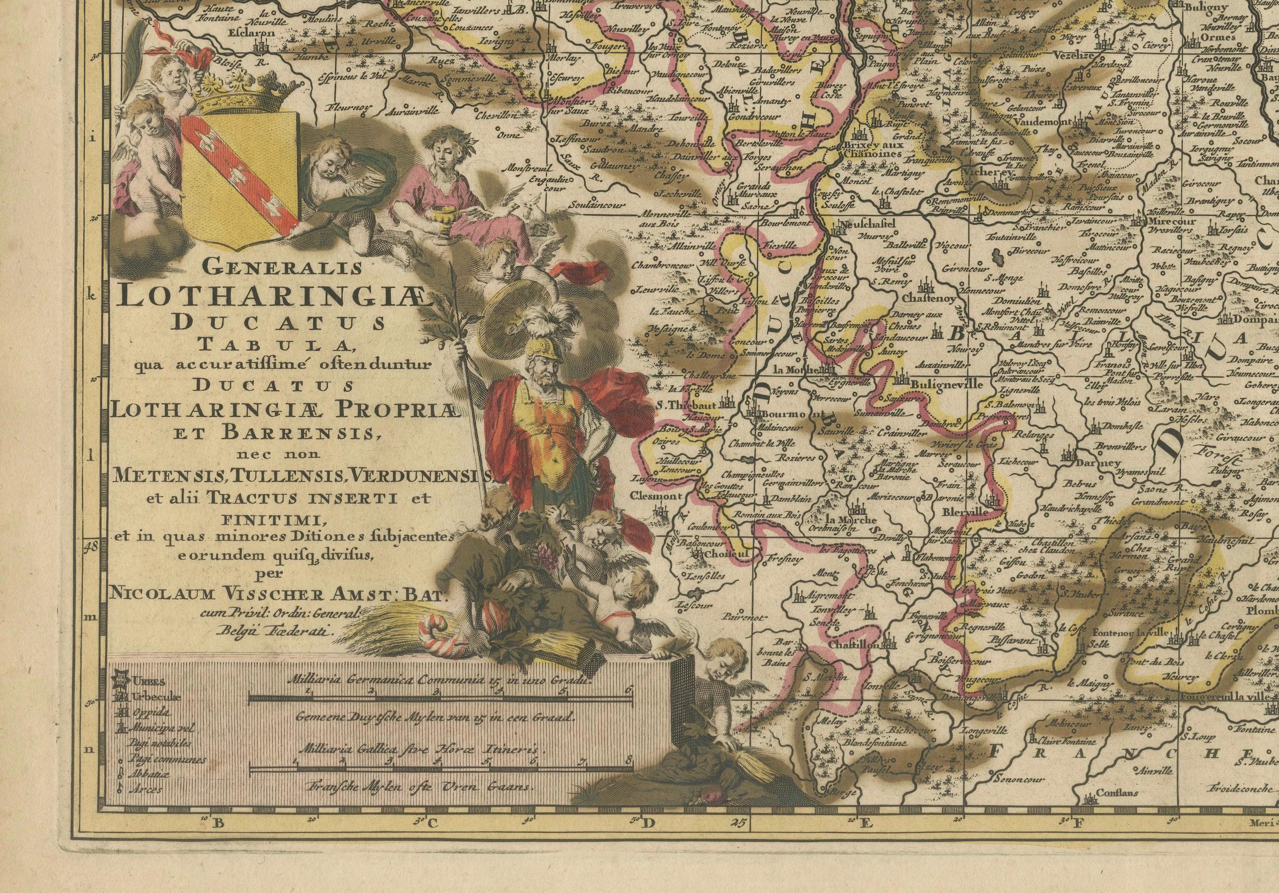
The decorative cartouche in the lower-left corner is a standout feature, showcasing allegorical figures, coats of arms, and elaborate detailing. This artistic embellishment reflects the cultural and political importance of Lorraine during the period. Additionally, the map features a detailed key, adding a layer of precision and usability for 17th-century audiences.
As part of De Wit's renowned composite atlases, this map exemplifies the Dutch cartographic tradition of blending scientific accuracy with artistic elegance. De Wit was a master mapmaker during Amsterdam’s golden age of cartography, and his works are celebrated for their beauty and craftsmanship, making them highly desirable among collectors today.
Condition Report: The map is in very good condition, with vibrant original hand-coloring. Minor age-related imperfections, such as faint foxing or slight toning, present. Please inspect the image closely for further details.
Framing and Matting Tips: To enhance its historical charm, consider framing the map with a classic dark wood or gilded frame. Acid-free matting in a neutral cream tone will protect the paper while emphasizing the rich colors and decorative cartouche. Use UV-protective glass to maintain the vibrancy of the hand-coloring. This map’s size and intricate design make it a striking focal point for any library, gallery, or study.