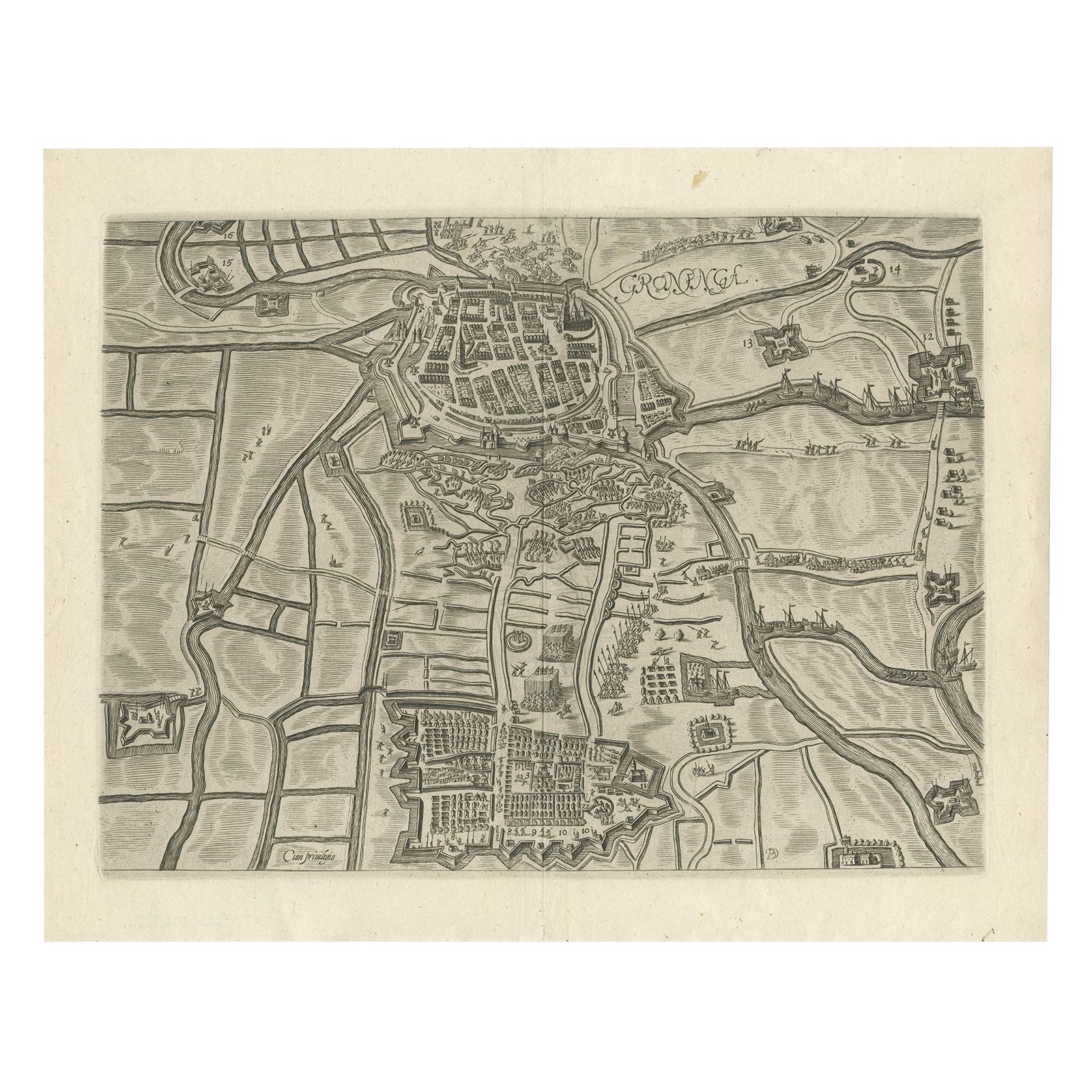
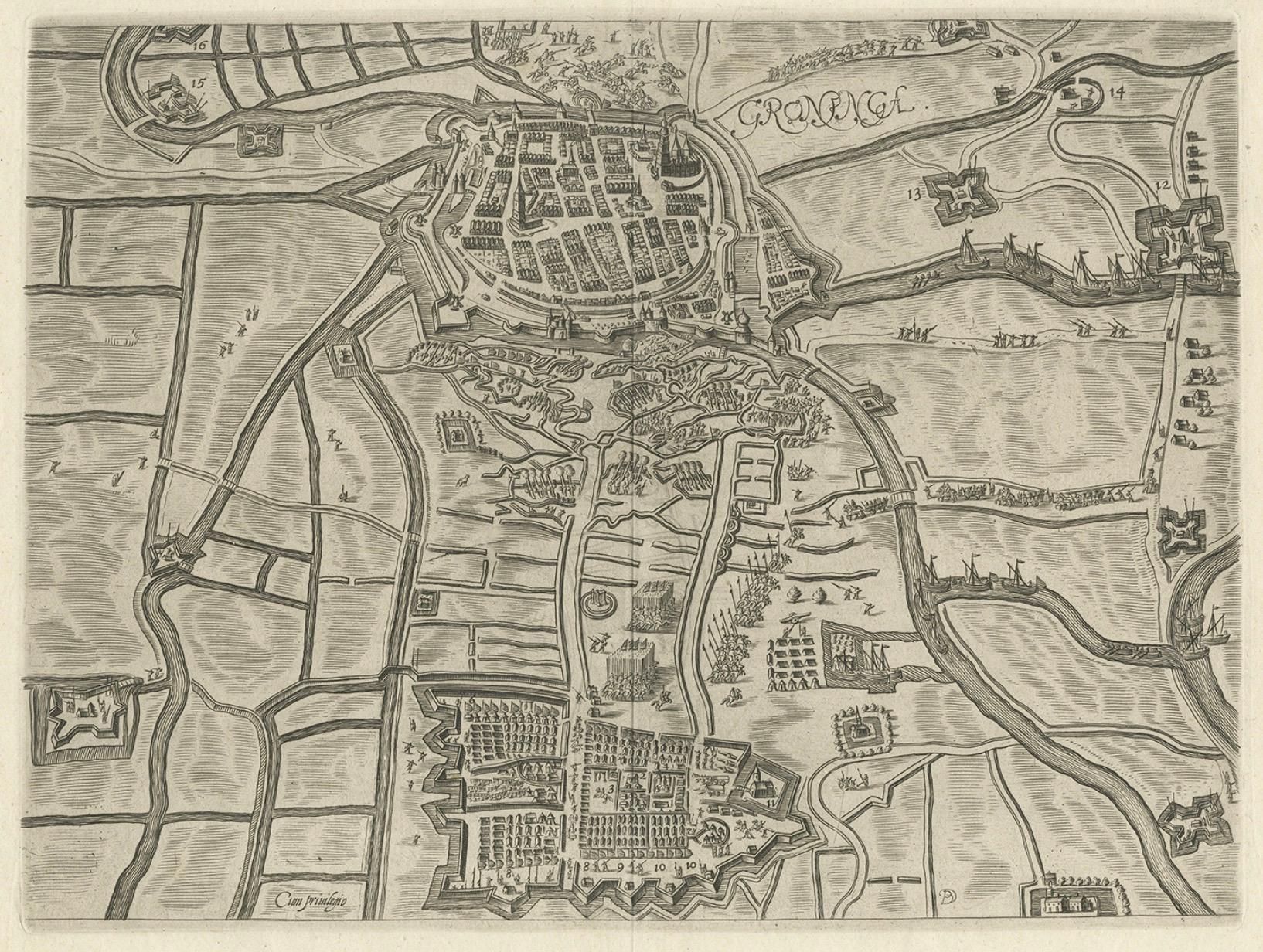
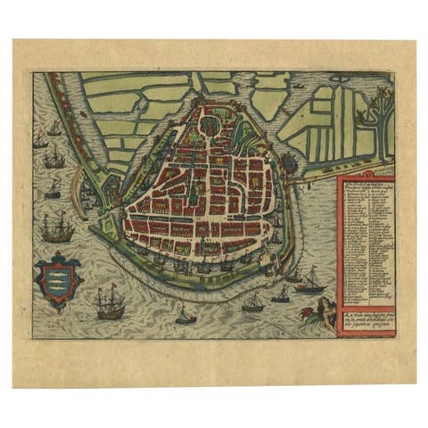
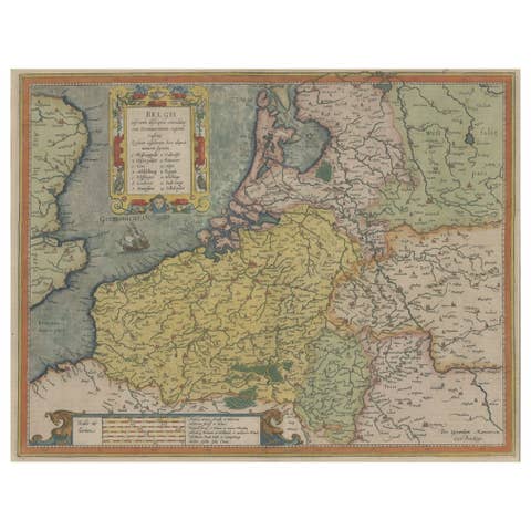
Map of Groningen from The Genealogy of the Illustrious Counts of Nassau (1615)
€ 550
One of a kind: this is the sheet in the photographs. Ships from Langweer, the Netherlands.
Date
1615
Sheet size
28 × 35.5 cm (11.0 × 14.0 in)
Condition
Good
Reference
PCT-561
Condition
Good, general age-related toning. Original folding line, blank verso. Please study image carefully.
About this sheet
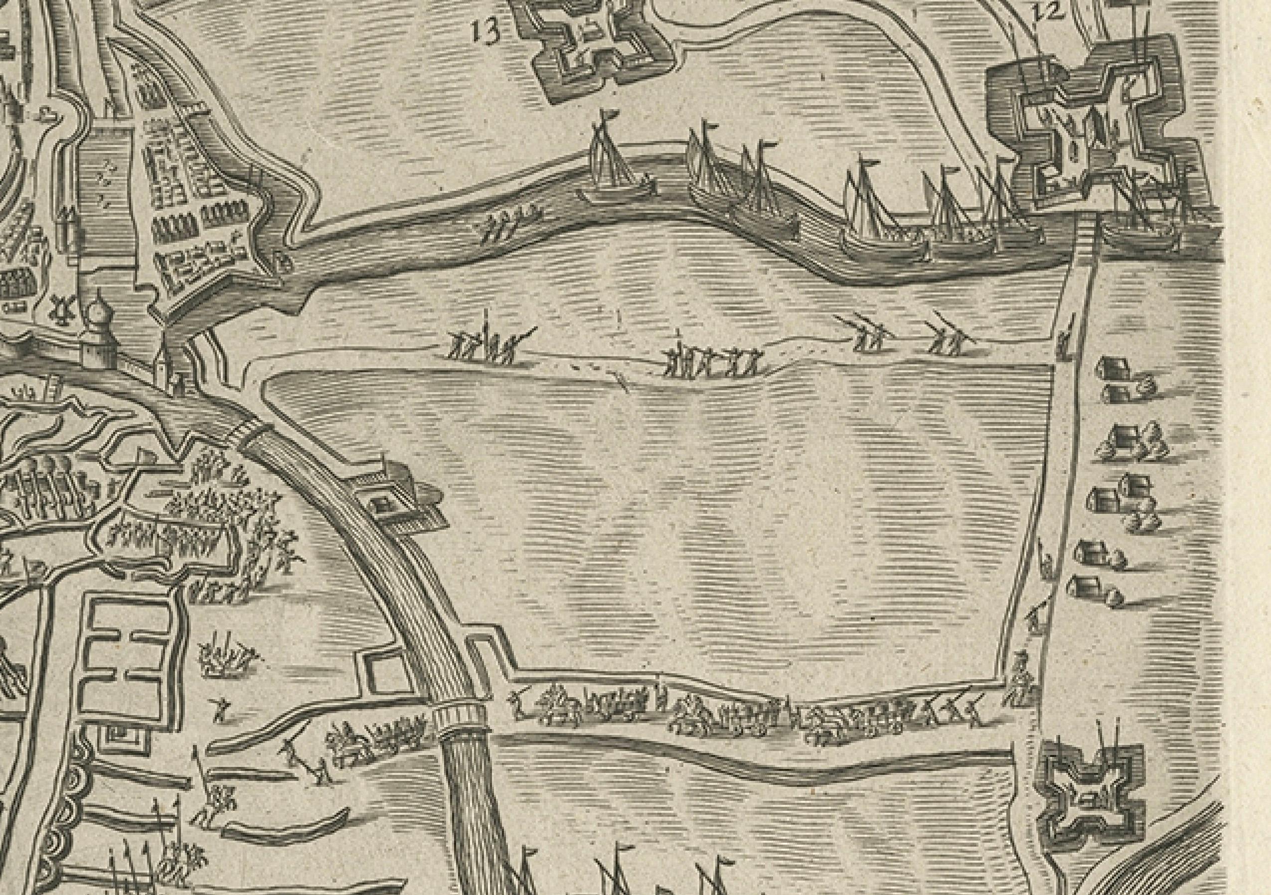
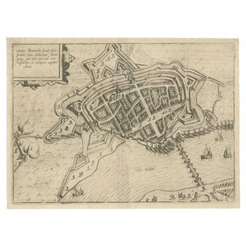
This antique map, titled "Gronenga," offers a detailed depiction of the fortified city of Groningen, located in the northern part of the Netherlands. It was published in 1615 in Jan Jansz. Orlers' historical work, "The Genealogy of the Illustrious Counts of Nassau." Orlers was a prominent Dutch historian, known for his accounts of important Dutch figures and families.
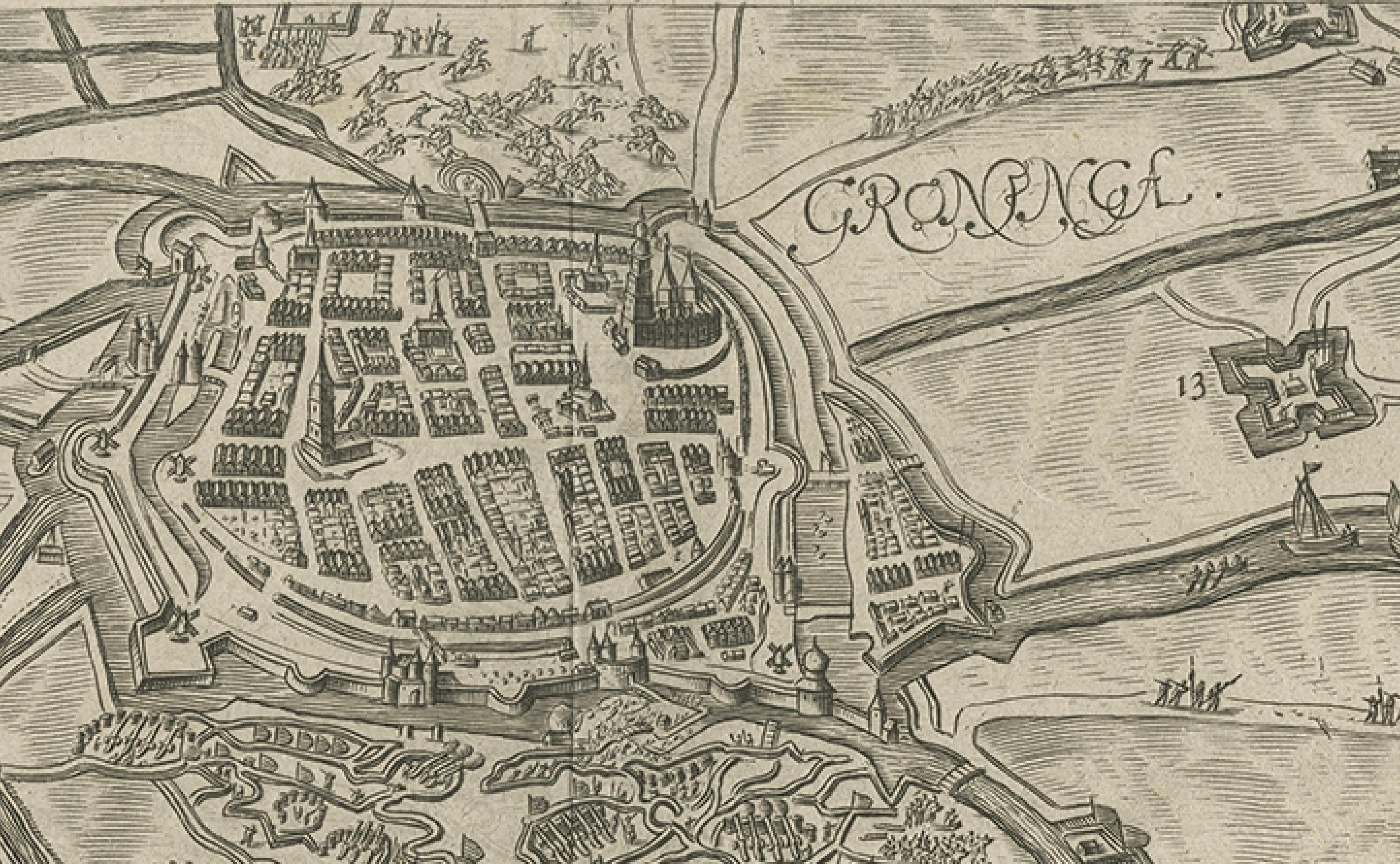
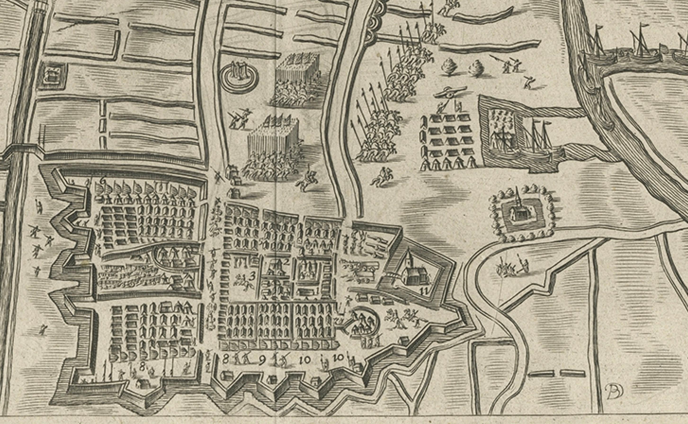
The map showcases the fortifications surrounding Groningen during the early 17th century, with the city's defensive walls, bastions, and surrounding waterworks clearly illustrated. The layout of streets, major buildings, and the city’s key defensive structures are meticulously engraved, offering a glimpse into the city's military and architectural infrastructure during this period. Groningen was a strategic and militarily important city in the Netherlands during the Eighty Years' War.
Surrounding the city, you can observe the countryside and several smaller fortresses, roads, and fields. The canals and rivers that played a vital role in Groningen's defense and trade are prominently shown. The central part of the city, with its network of streets, squares, and important structures such as churches, is carefully detailed, reflecting both the artistic and practical cartography of the period.
This engraving is not only an important piece of cartographic history but also serves as an artistic representation of Groningen during the Dutch Golden Age.
- Artist/Engraver: Jan Jansz. Orlers (1570-1646) - Technique: Copperplate engraving - Date: 1615 - Origin: From "The Genealogy of the Illustrious Counts of Nassau" - Condition: Well-preserved, with clear impressions and fine detailing.
This map would have been used to document the noble history of the House of Nassau, to which the Dutch royal family belongs, and to highlight significant cities like Groningen.