Bishopric of Hildesheim Map in Northern Germany by Willem & Joan Blaeu, 1645
€ 520
One of a kind: this is the sheet in the photographs. Ships from Langweer, the Netherlands.
Date
1645
Sheet size
50 × 58.5 cm (19.7 × 23.0 in)
Reference
BG-13892-2
Condition
Old hand-coloring, light toning along margins, faint spotting in places. Slight edge wear consistent with age but no tears or significant damage. Latin text on the reverse. Overall, in very good condition for its age.
About this sheet
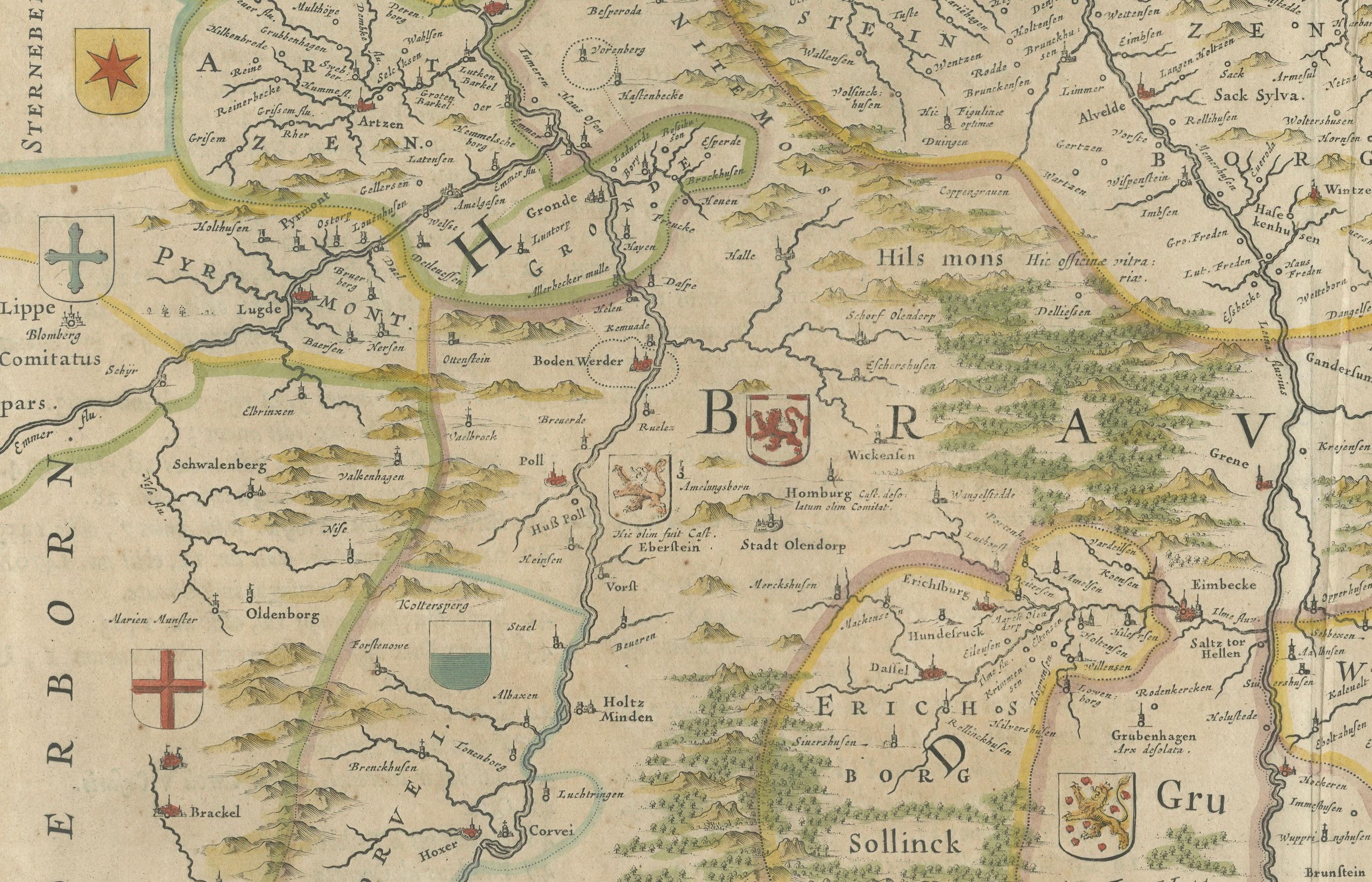
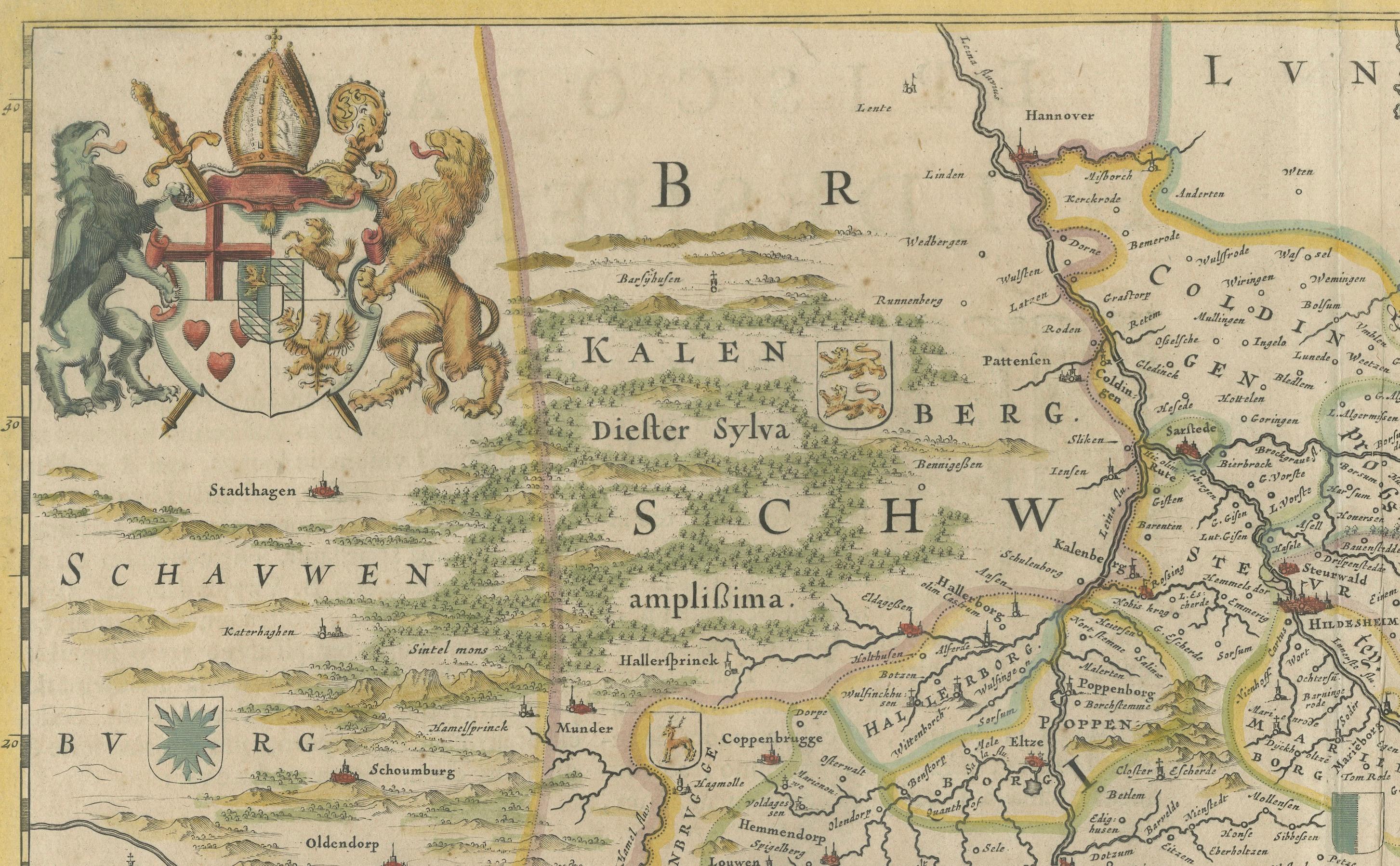
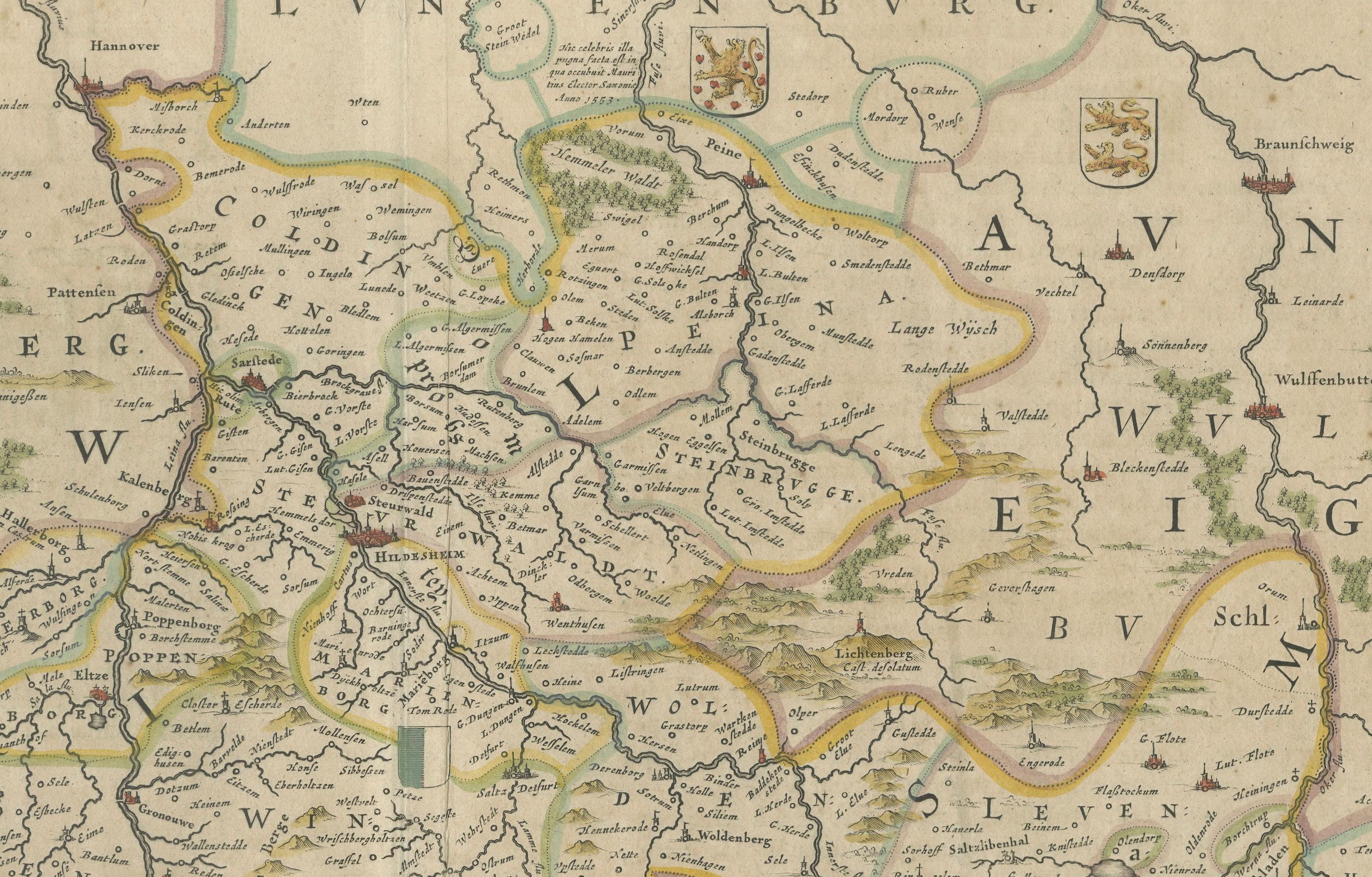
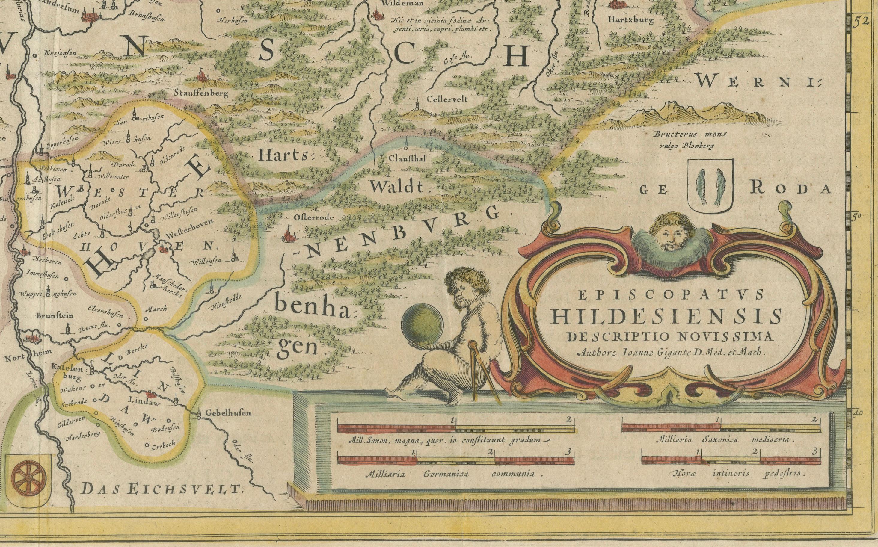
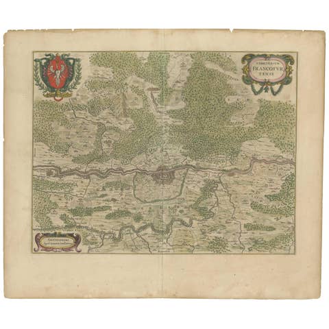
This beautifully hand-colored map, titled "Episcopatus Hildesiensis Descriptio Novissima," depicts the Bishopric of Hildesheim, a historical ecclesiastical territory in present-day Lower Saxony, in Northern Germany. Historically, the bishopric was an important ecclesiastical territory within the Holy Roman Empire. The map shows the area surrounding the city of Hildesheim, which served as the seat of the bishopric.
Published by Willem and Joan Blaeu in 1645 as part of their monumental 'Theatrum Orbis Terrarum, sive Atlas Novus' (Theater of the World or a New Atlas), the map showcases towns, rivers, forests, and other significant geographical features. A striking decorative cartouche in the lower right corner enhances its aesthetic appeal, while the upper left displays heraldic symbols representing the bishopric's ecclesiastical heritage.
Willem and Joan Blaeu were master cartographers of the Dutch Golden Age, known for their exceptional artistry and cartographic precision. Their atlases, including this map, remain highly sought after for their historical and artistic value. This map is a fine example of the Blaeu family's work, blending accuracy with ornate design.
- Cartographer: Willem Blaeu and Joan Blaeu - Title: Episcopatus Hildesiensis Descriptio Novissima - Publication: Amsterdam, Blaeu Publishing, 1645 - Description: Antique map of the Bishopric of Hildesheim, featuring old hand-coloring. Depicts the geographical and administrative details of the region, including settlements, rivers, forests, and ecclesiastical divisions. Decorative cartouche and heraldic symbols are present.
- Condition: Old hand-coloring, light toning along margins, faint spotting in places. Slight edge wear consistent with age but no tears or significant damage. Overall, in very good condition for its age. - Significance: An exemplary map from Blaeu’s *Atlas Novus*, one of the most influential atlases of the 17th century, celebrated for its artistic detail and geographical accuracy.