
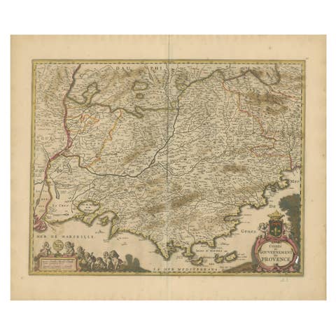
Rare Hand-Colored Map of Franche-Comté and Burgundy by Frederik De Wit c. 1688
€ 640
One of a kind: this is the sheet in the photographs. Ships from Langweer, the Netherlands.
Date
1688
Sheet size
52.9 × 62 cm (20.8 × 24.4 in)
Condition
Good
Reference
BG-14046-5
Condition
Condition Report: The engraving is in good to very good condition, with some offsetting or color bleeding visible. Minor age-related imperfections. Centrefold as issued. Please examine the image carefully for additional details.
About this sheet
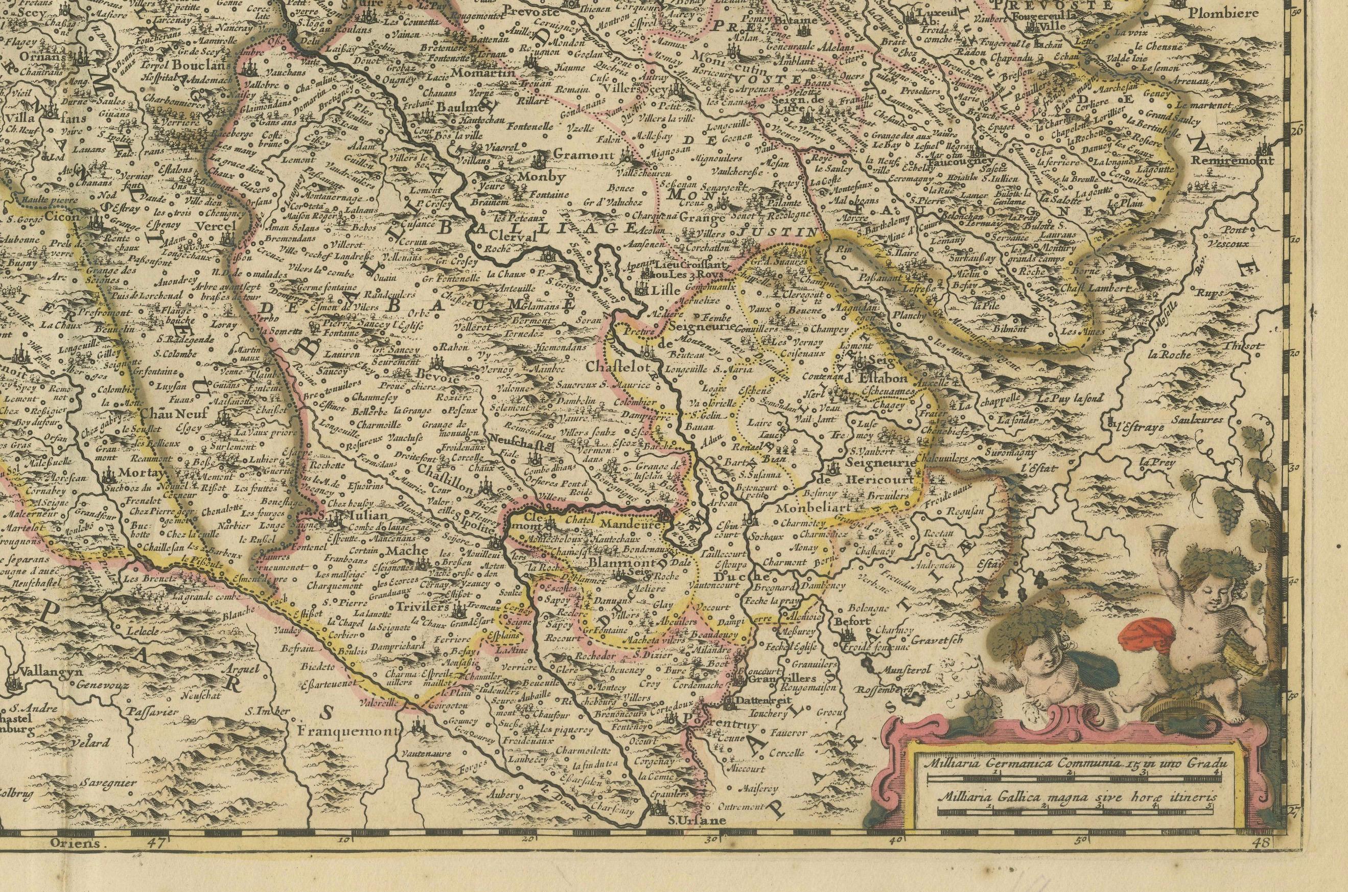
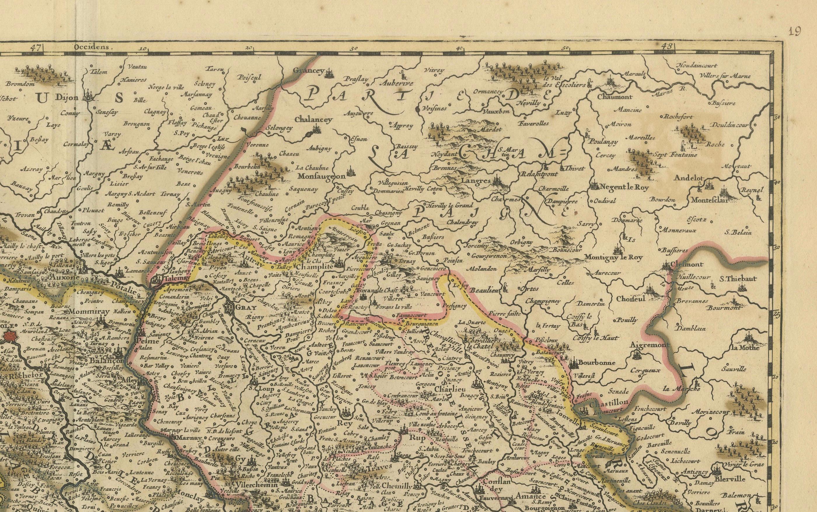
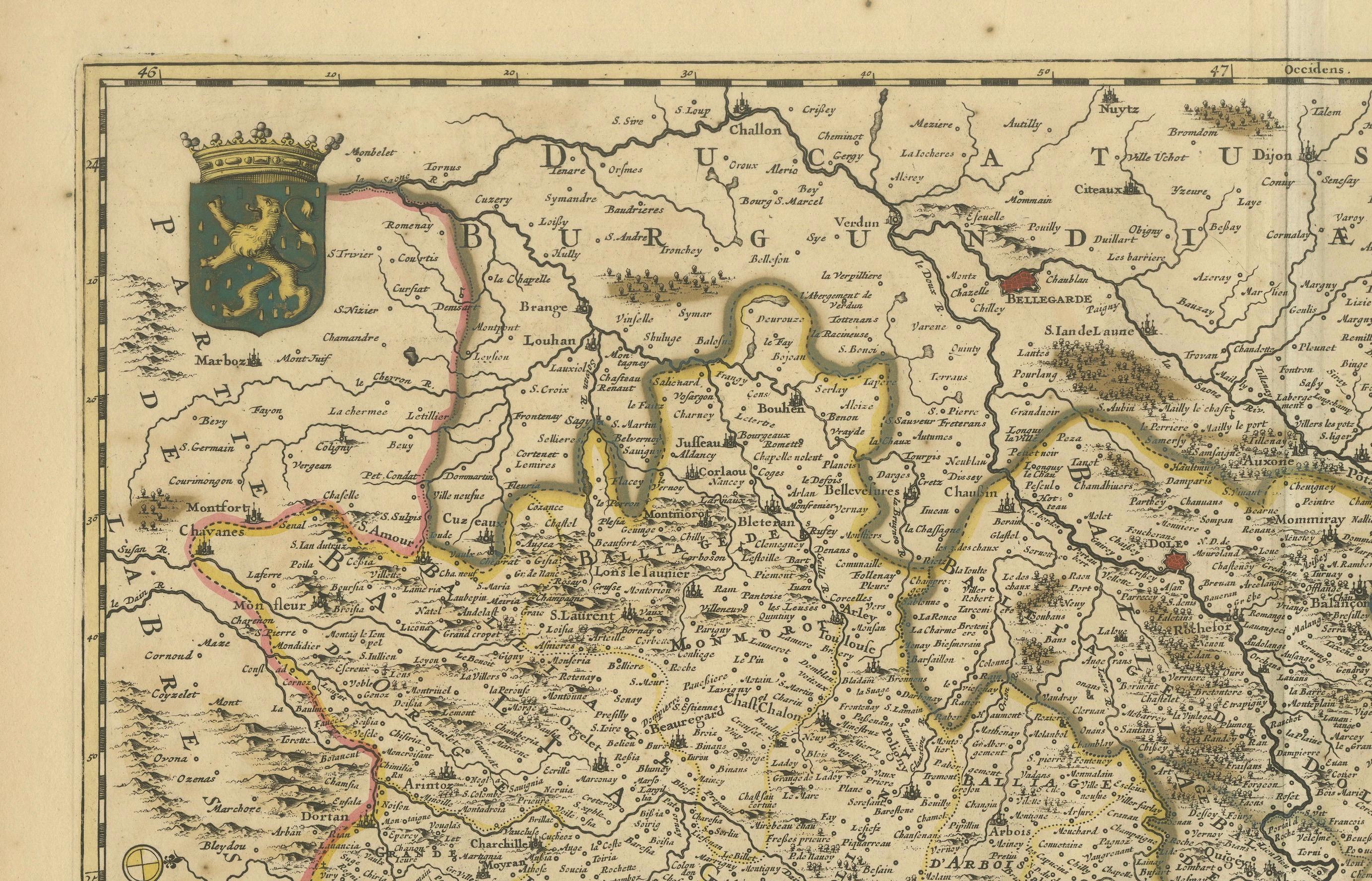
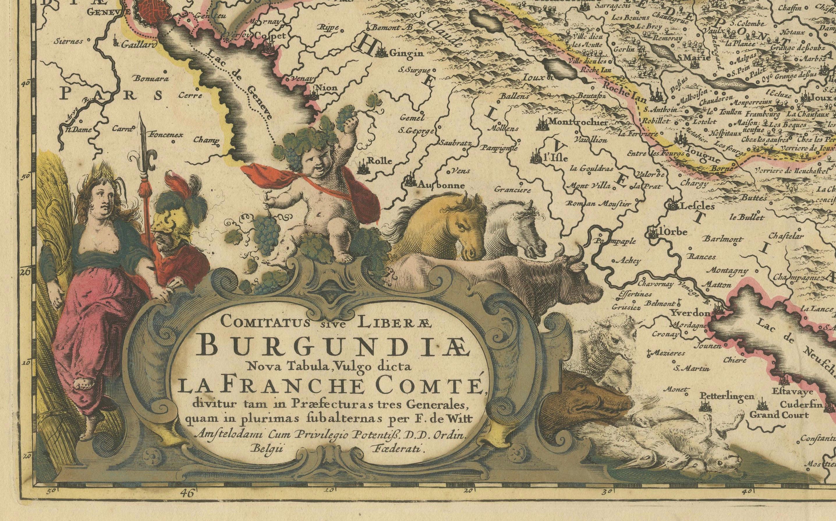
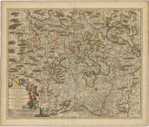
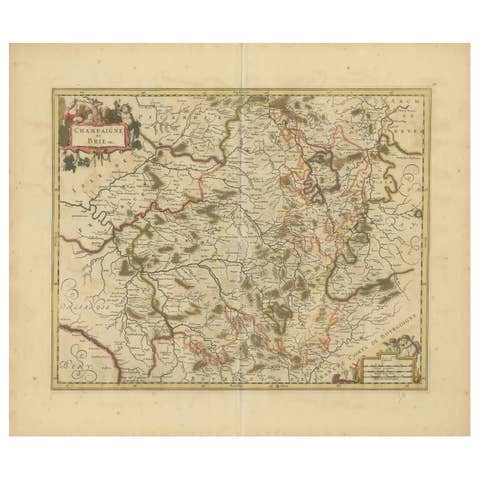
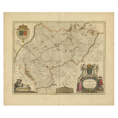
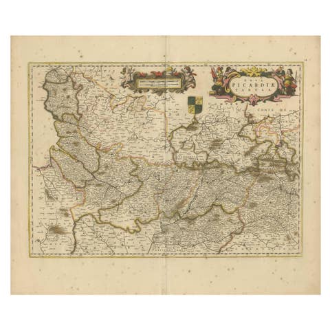
This stunning 17th-century map, titled "Comitatus Burgundiae vulgo La Franche Comté," vividly depicts the Franche-Comté and Burgundy regions in France. Published by Frederik De Wit circa 1688, this map features original hand-coloring and intricate details of towns, rivers, and the region's varied topography. A large decorative cartouche at the lower left showcases classical allegorical figures and a coat of arms, reflecting the historical and cultural significance of the area.
De Wit’s maps are celebrated for their precision and artistry, and this piece is no exception. As part of his composite atlases, this map combines geographic accuracy with aesthetic beauty, catering to the scholarly and affluent audiences of the time. The vibrant colors and finely engraved details bring the landscape to life, making it a prime example of the golden age of Dutch cartography.
Frederik De Wit was a prominent Amsterdam-based cartographer and publisher, renowned for his town plans, atlases, and decorative maps. His works are now highly sought after for their historical importance and artistic appeal.
Condition Report: The map is in good to very good condition, with vibrant original hand-coloring. Minor age-related imperfections, such as light foxing or faint toning, are present. Please examine the image for precise details.
Framing and Matting Tips: To enhance the visual appeal and protect this antique map, opt for a high-quality dark wood or gold-leaf frame. Use acid-free matting in a neutral tone to highlight the colors and cartouche details. UV-protective glass is recommended to preserve the integrity of the hand-coloring. This map’s size and decorative features make it an ideal centerpiece for a study, gallery, or living space, showcasing its historic charm and artistic elegance.