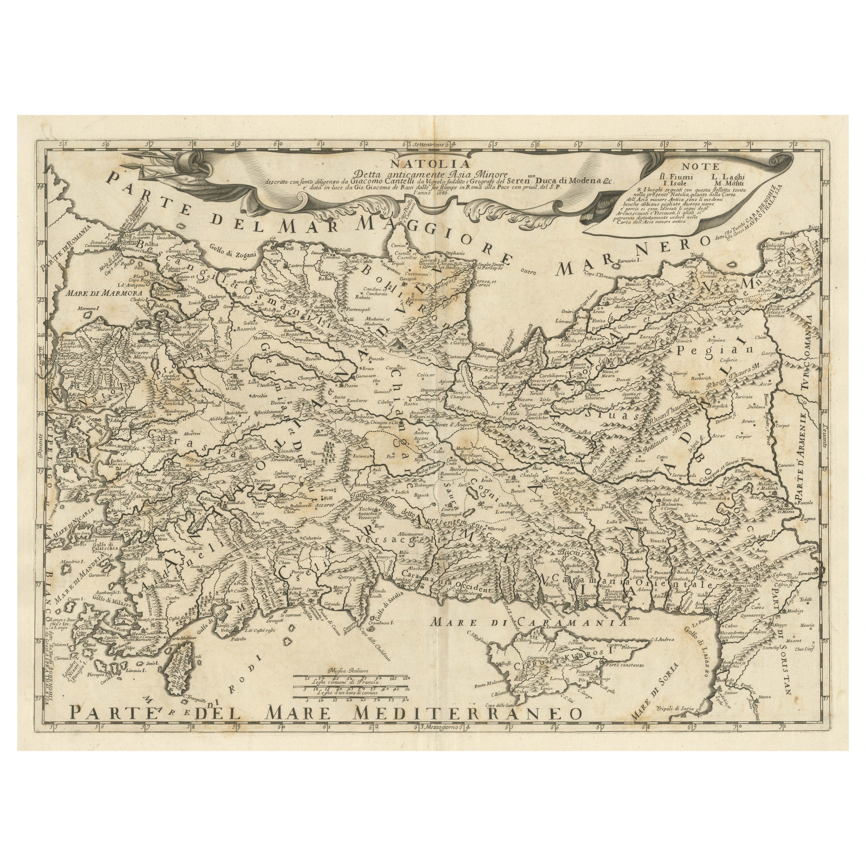

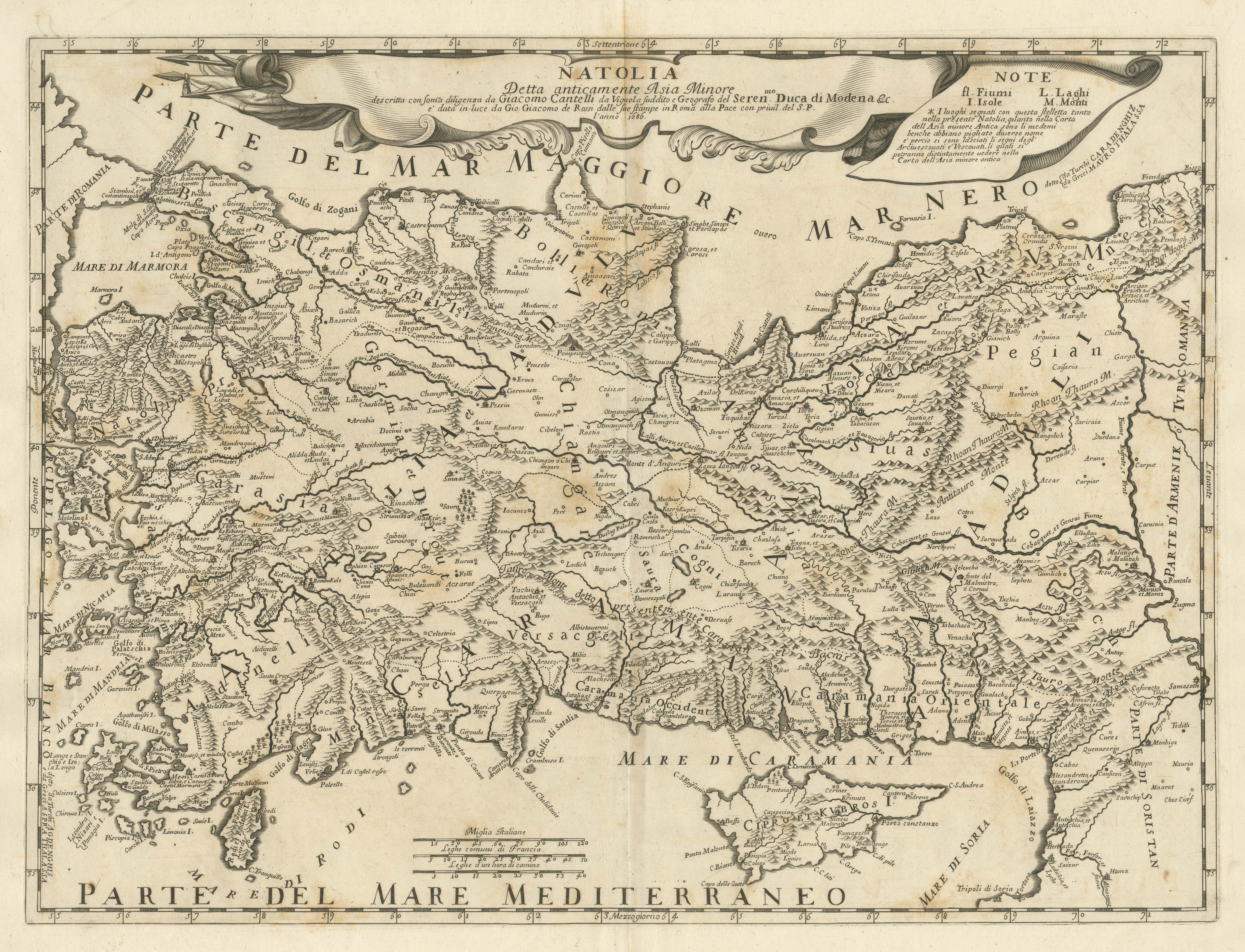
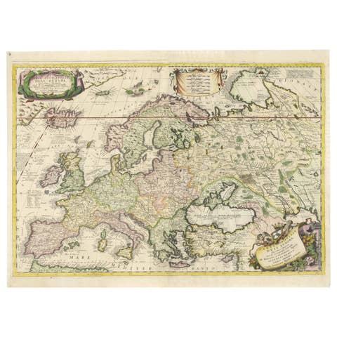
Original Italian Antique Map of Asia Minor, Cyprus, Neighboring Regions, 1686
€ 630
One of a kind: this is the sheet in the photographs. Ships from Langweer, the Netherlands.
Date
1686
Sheet size
48.3 × 61.5 cm (19.0 × 24.2 in)
Condition
Fair
Reference
BG-13372-1
Condition
Wear consistent with age and use. General age-related toning, original folding line. Shows some soiling and discoloration. Blank verso. Please study image carefully.
About this sheet
Antique map titled 'Natolia detta anticamente Asia Minor (..)'. Rare map of Asia Minor (Turkey) and Cyprus and neighboring regions. The map provides one of the most detailed and up to date treatments of the region. Includes several ornate cartouches and a dedication to the Duke of Modena. Map by Cantelli da Vignola. Published in Rome by Rossi, 1686.
Giacomo Giovanni Rossi (1627-1691) was an Italian engraver and printer. He worked in Rome, the heir to an important printing business founded by his father, Giuseppe de Rossi (1570-1639). Giuseppe began the press in 1633 and Giovanni and his brother, Giandomenico (1619-1653) took it over upon his death. The brothers expanded the business and by the mid-seventeenth century it was the best-known printing house in Rome.
For his maps, Giovanni worked with Giacomo Cantelli da Vignola. They produced the Atlas Mercurio Geografico. The first edition is undated, but the second was issued in 1692, a year after Giovanni’s death. The maps were by Cantelli. The firm also published maps based on those of Nicolas Sanson.