About this sheet
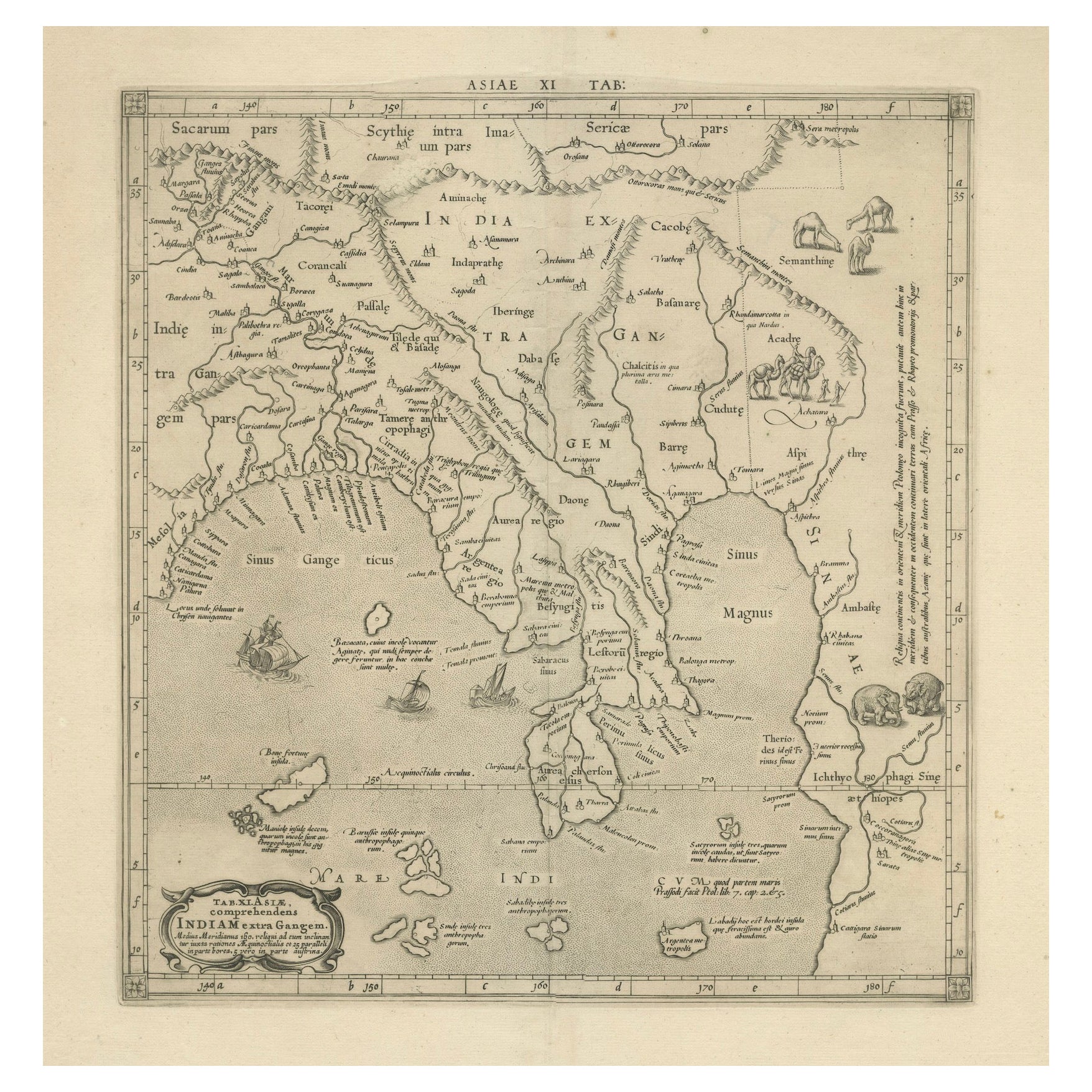
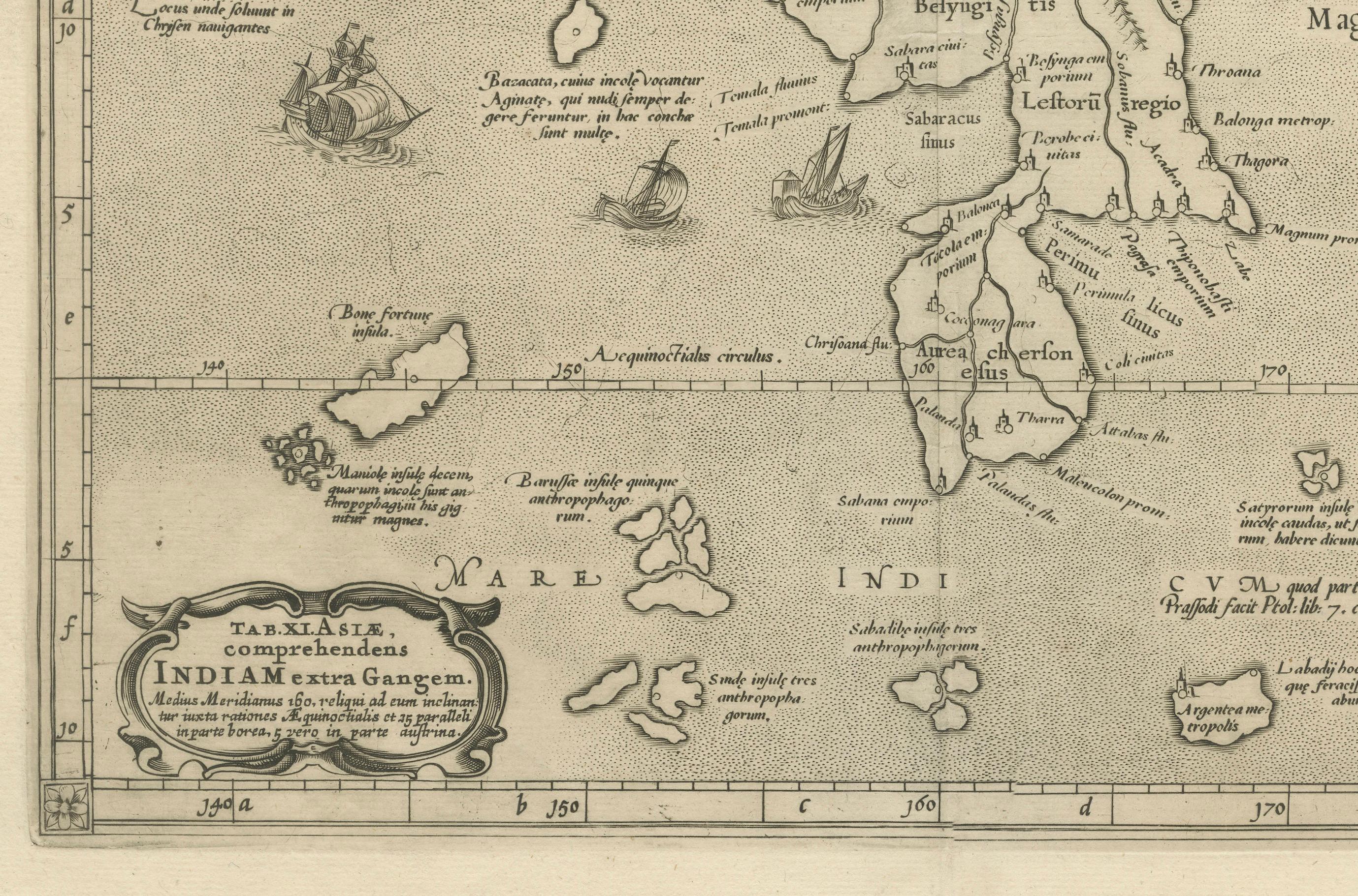
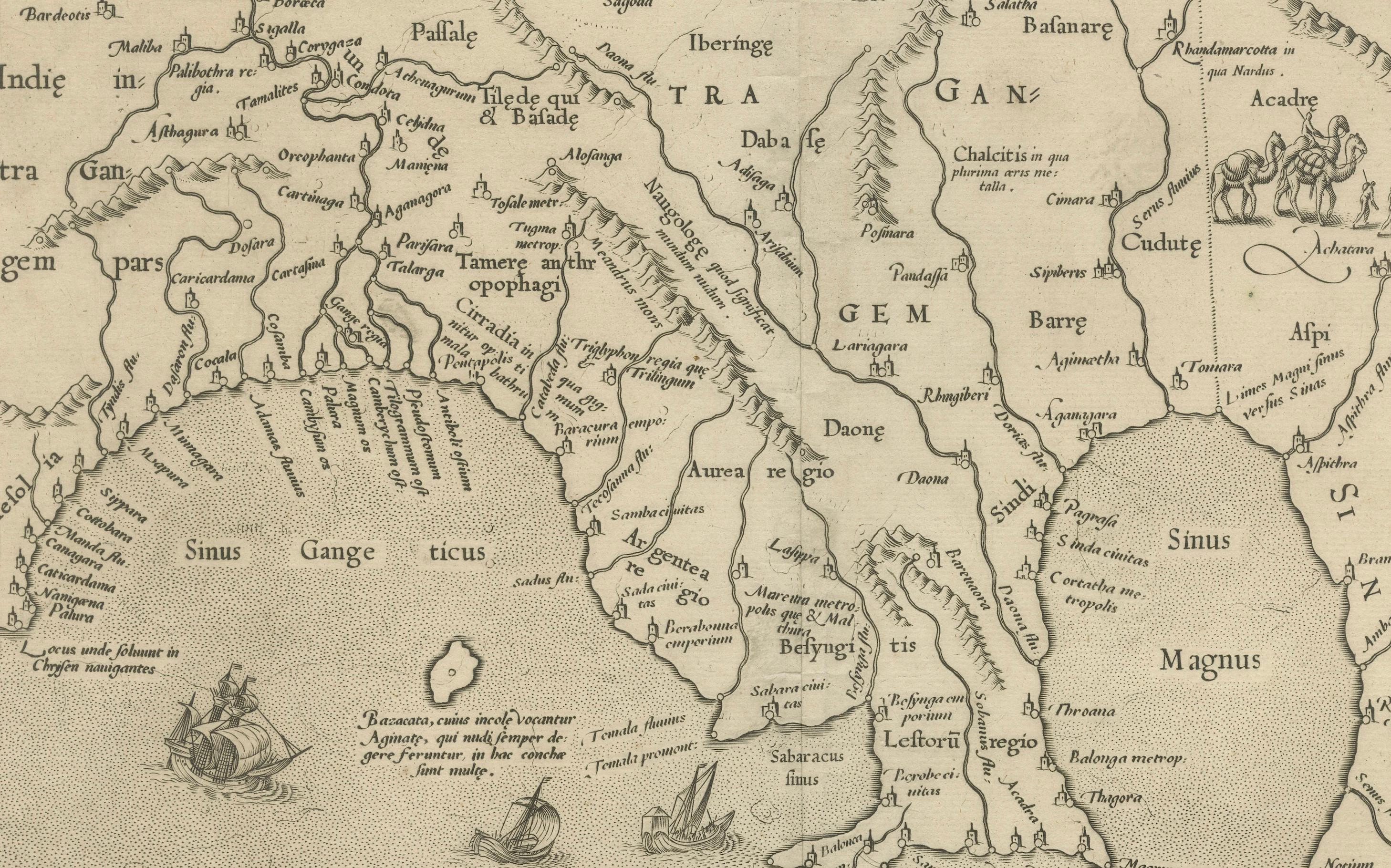
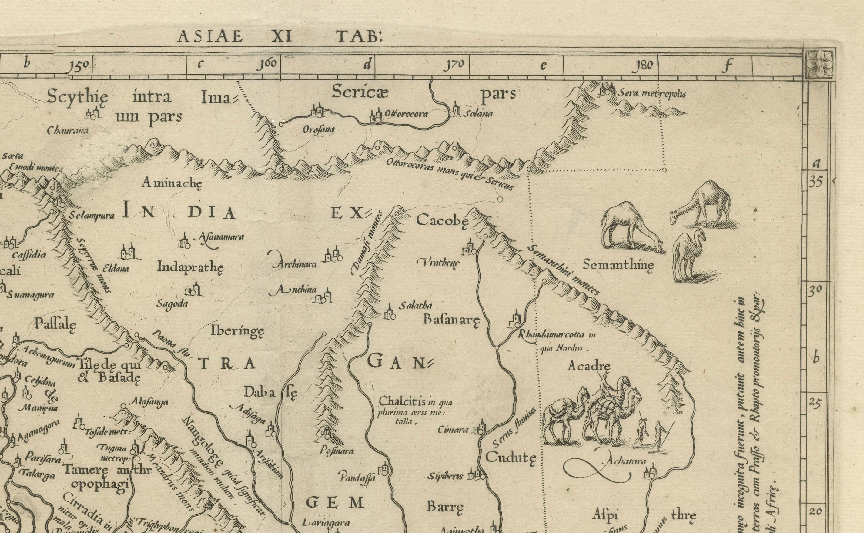
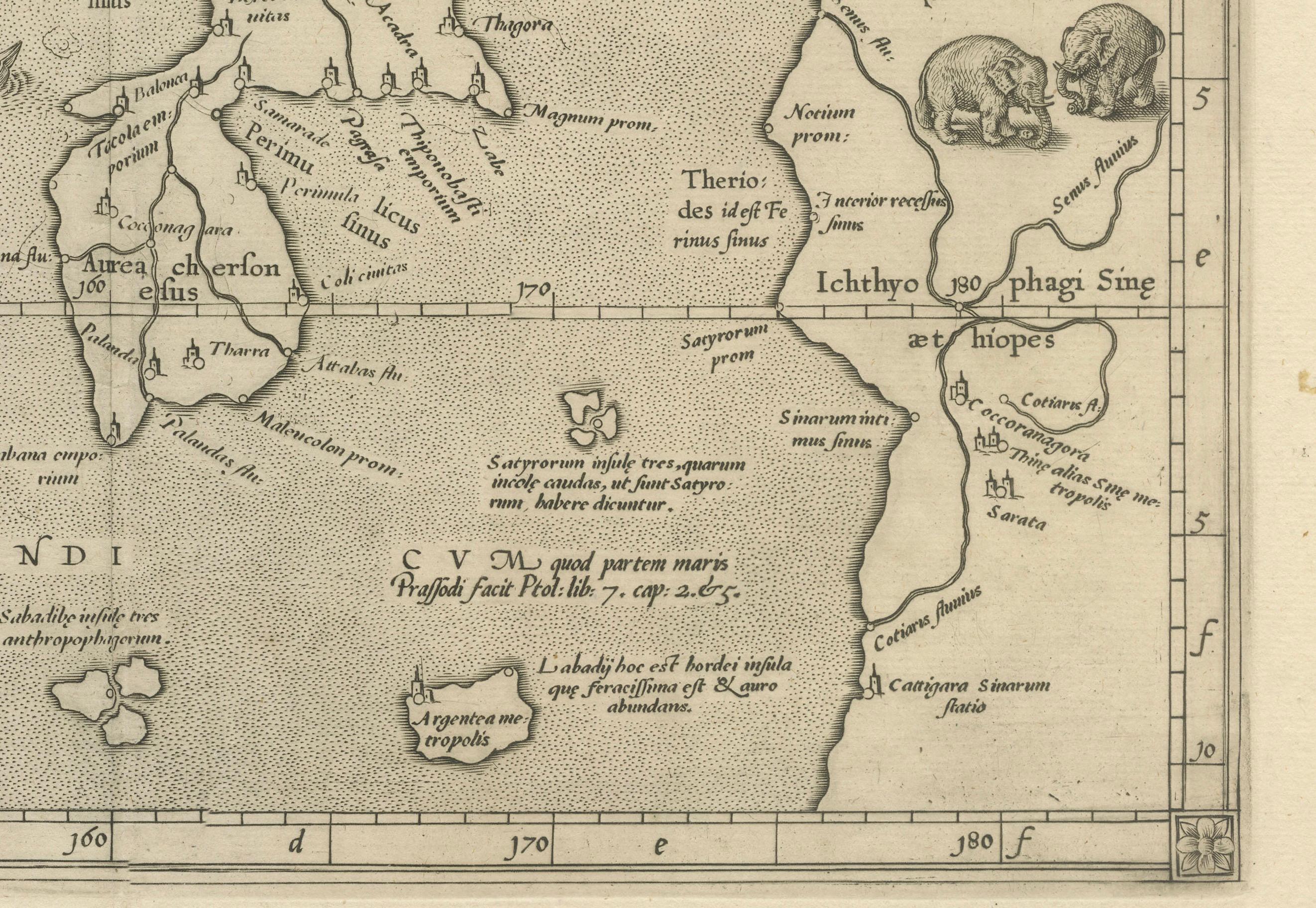
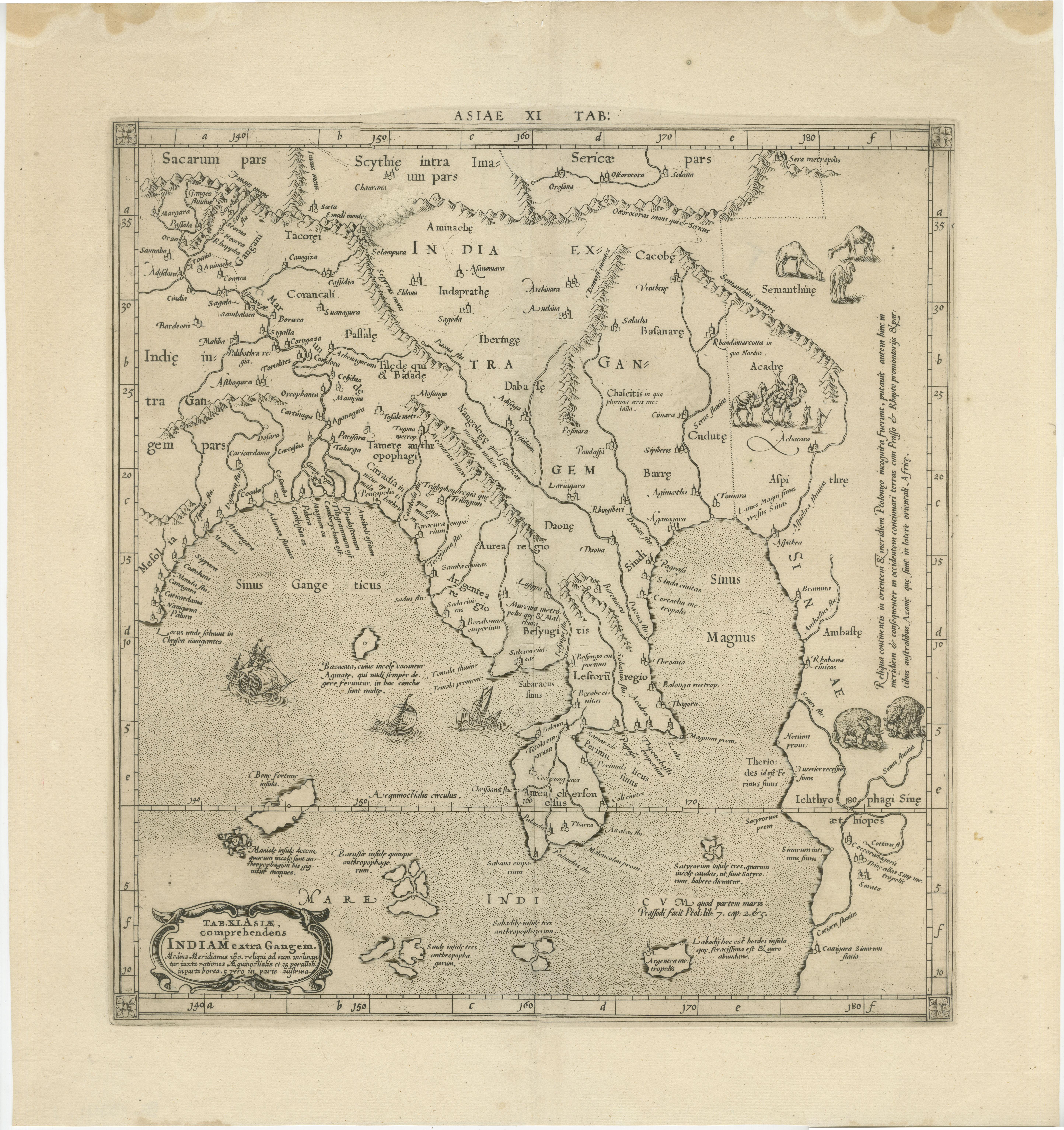
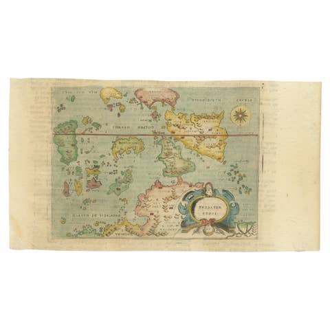
This is an exquisite Ptolemaic map depicting Asia east of the Ganges, titled "Tab. XI. Asiae, comprehendens Indiam extra Gangem." The map is adorned with a decorative cartouche, a compass rose, and several sailing ships traversing the seas. On land, detailed engravings of Bactrian camels, nomadic figures, and well-engraved elephants enrich the visual appeal of the map.
**Historical Context:**
This map is from the 1698 edition of Mercator’s Ptolemy Atlas, "Claudii Ptolemaei Tabulae Geographicae Orbis Terrarum Veteribus Cogniti," published by Francois Halma & Willem van den Water in Utrecht, and Leonard Strick in Franeker. The Atlas was initially published in 1578 and saw subsequent re-publications in 1584, 1605, 1618/1619, 1695, 1698, 1704, and 1730. For the 1698 edition, the plates were reworked with new cartouches and a new title engraving. Among all Ptolemaic editions, the Mercator editions are renowned for their superior execution and detail. Mercator aimed to create an Atlas of the classical world, serving as a historical companion to his modern atlas.
Artists and Engravers:
The map was created by Gerard Mercator (born Kremer), a prominent cartographer born in Rupelmonde, Flanders. He studied in Louvain and produced his first map in 1537, later becoming renowned for his cartography and globe-making. In 1552, Mercator relocated to Duisburg, Germany, where he published his famous 18-sheet world map in 1569, introducing the Mercator projection. He then decided to publish a new edition of Ptolemy’s Geographia, followed by his major work, a three-volume collection of maps. The first volume appeared in 1585, the second in 1589, and the third posthumously in 1595 by his son Rumold. A second edition of all three parts came out in 1602. In 1604, Jodocus Hondius acquired the plates, publishing several editions with his sons Jodocus II and Henricus until 1633. Further editions followed until 1666 by Janssonius in partnership with Henricus. Some of the plates were also used by W.J. Blaeu in 1630.
State: Revised 2nd state.
Publication Details:
- Publisher: Francois Halma & Willem van den Water (Utrecht) and Leonard Strick (Franeker)
- Date: 1698
- Source: Mercator’s Ptolemy Atlas
This map stands as a testament to the historical and geographical knowledge of the time, beautifully rendered by one of history's most influential cartographers, Gerard Mercator.