About this sheet
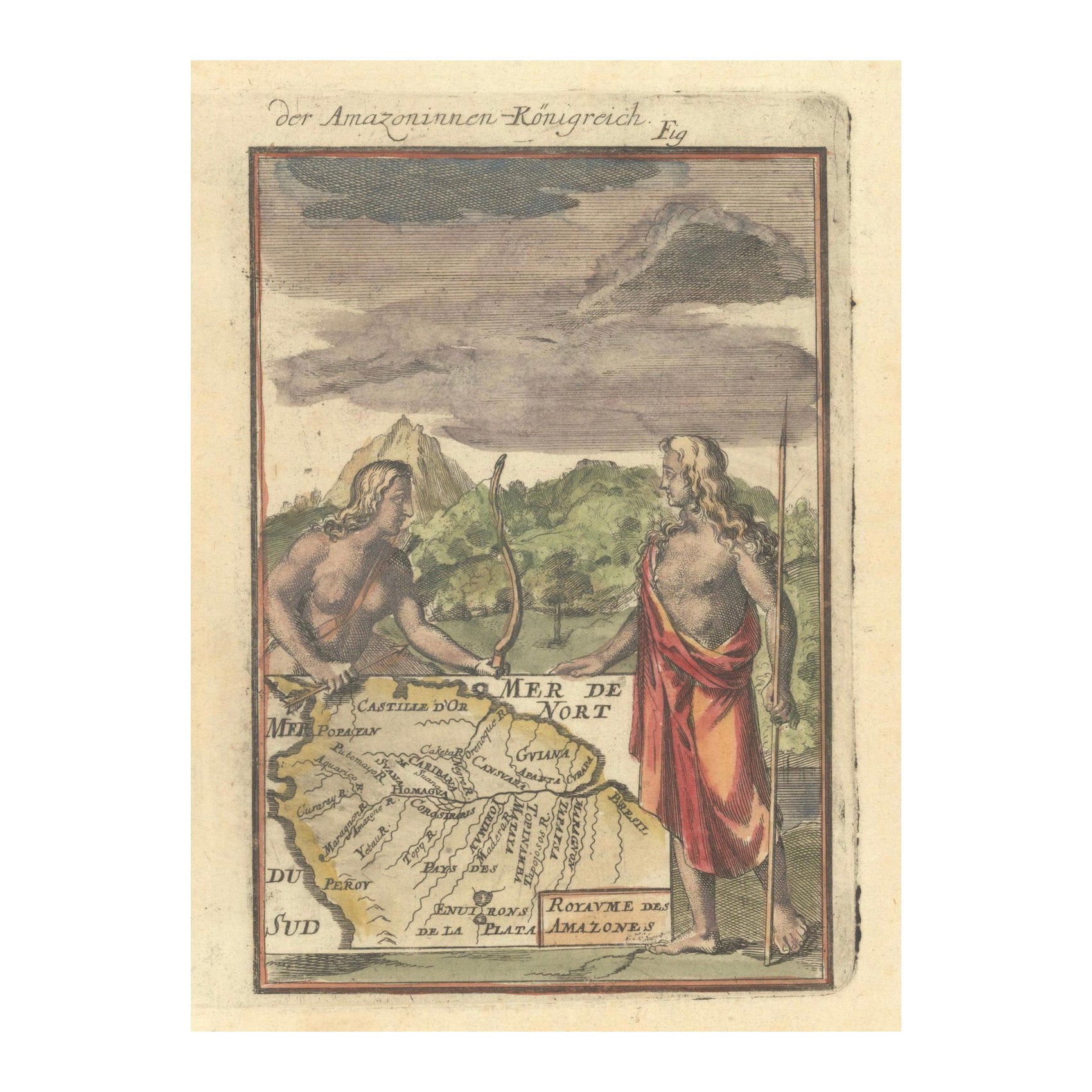
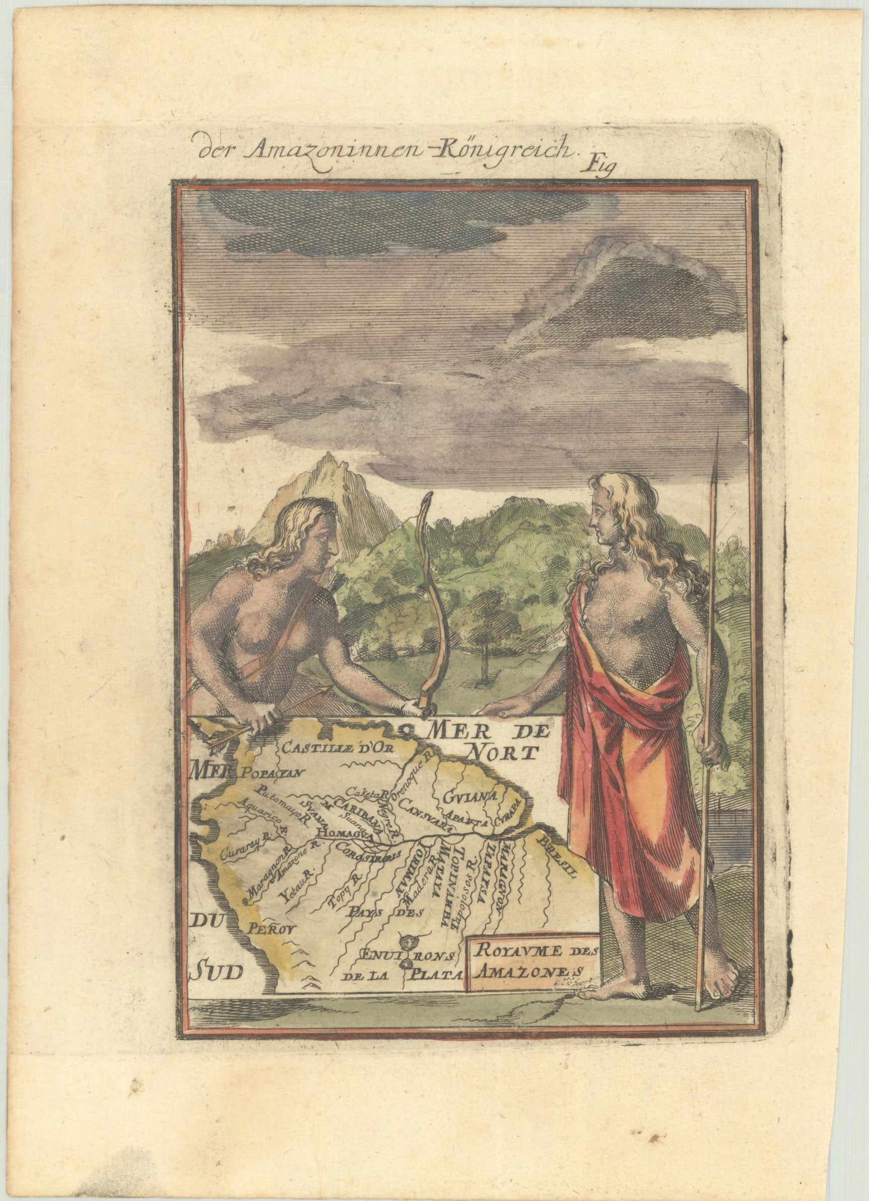
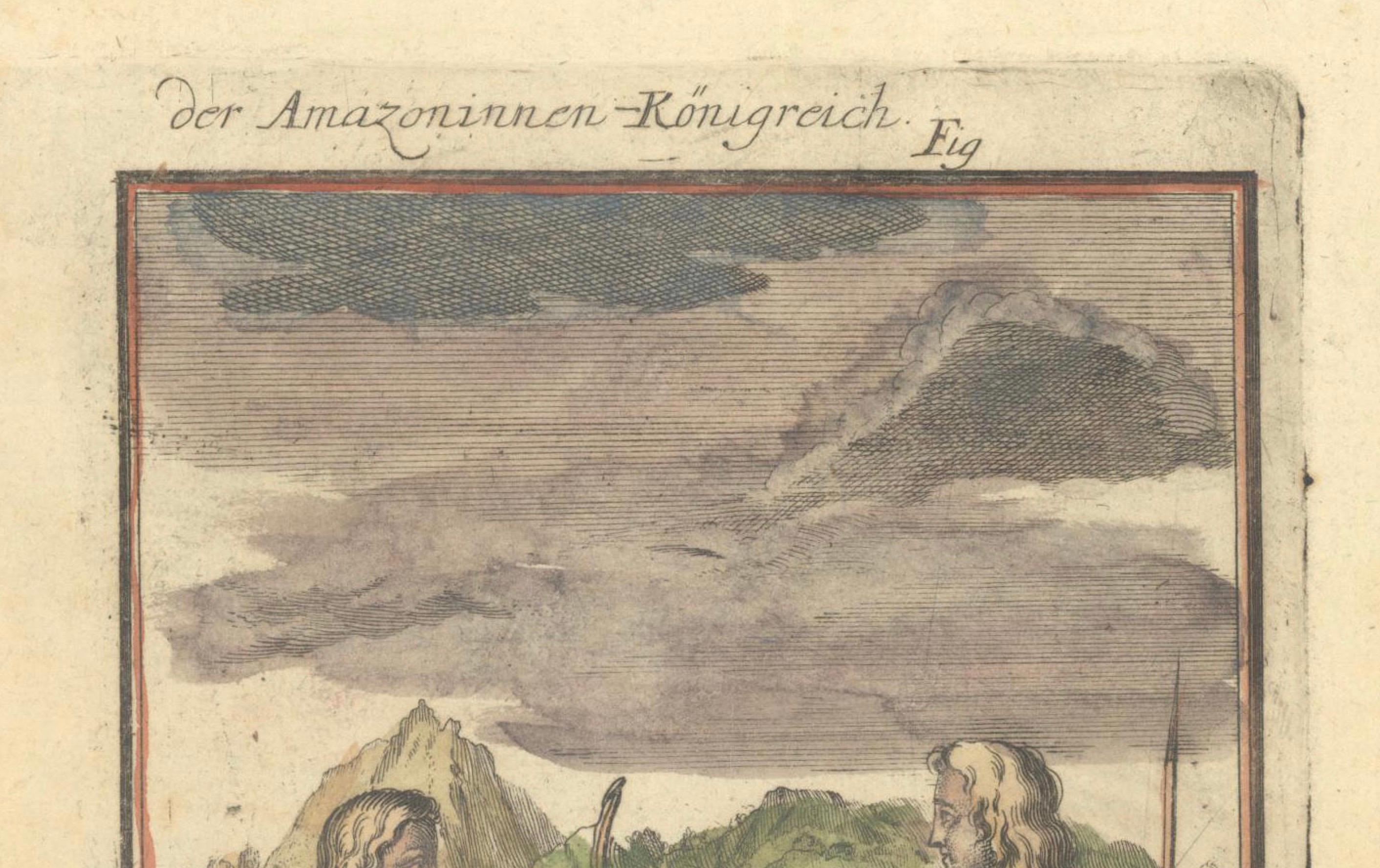
This map, titled 'Royaume des Amazones', was created by Alain Manesson Mallet and published in 1684 in a German edition of Beschreibung des Gantzen Welt-Kreisses, a renowned work derived from his famous 'Description de l'Univers.
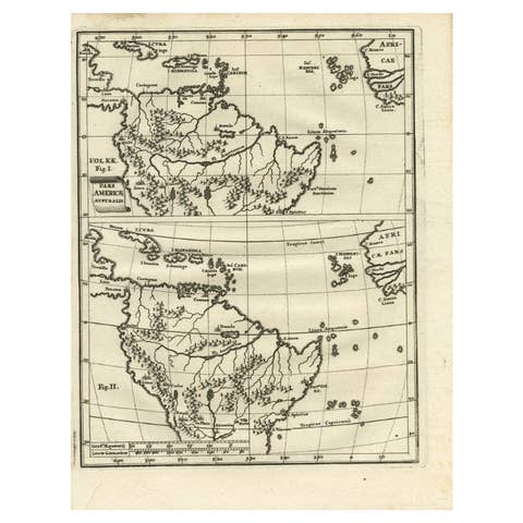
This beautifully hand-colored miniature map depicts northern South America, with a special focus on the Amazon River and the legendary Kingdom of the Amazons.
Key Features:
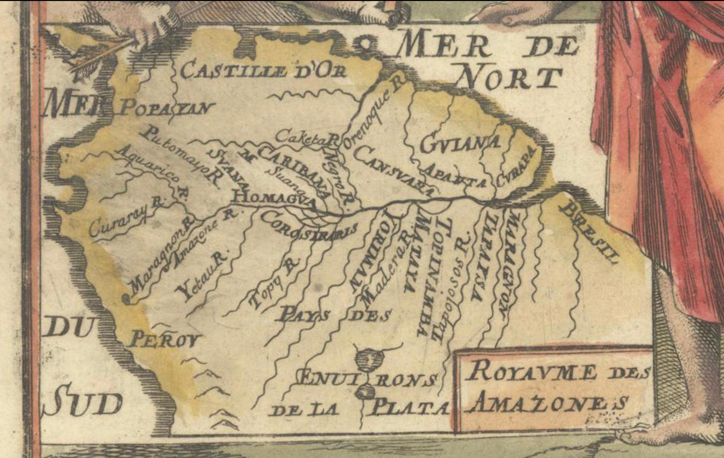
- Depiction of the Amazon River: The map shows the northern portion of South America, with the Amazon River prominently displayed along with its surrounding regions.
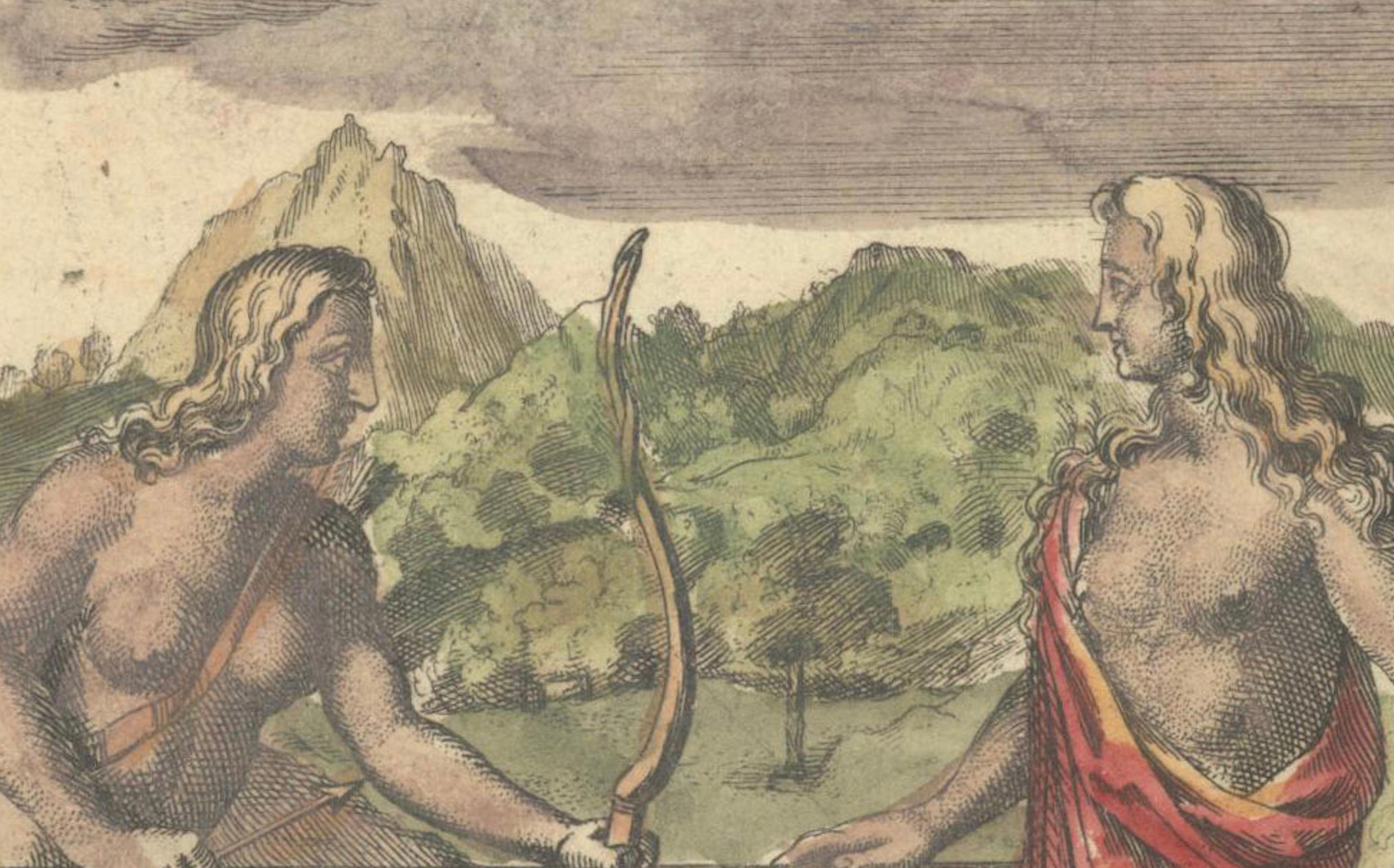
- Decorative elements: The map is held up by two allegorical figures of native Amazonians, one holding a bow and the other a spear. These figures personify the myth of the Amazons, a race of warrior women believed to inhabit the region.
- The map includes several historical and mythical locations, such as Castille d'Or, Pays des Tapouyes, Guiana, Caribana, and the Royaume des Amalone, the "Kingdom of the Amazons."
- Hand coloring enhances the decorative and geographical features of the map, making it not only informative but also visually striking.
Size: This is a miniature map, typical of Mallet’s publications, though the exact dimensions would need to be confirmed.
This map is a valuable piece for collectors of mythical maps, South American cartography, or 17th-century miniatures. It’s a perfect example of the fascination with both the geographic and legendary aspects of the Amazon during the era of exploration.
Keywords: Alain Manesson Mallet, 1684 map, Royaume des Amazones, Amazon River, South America, mythical maps, Amazon legend, antique map, hand-colored map, miniature map, native Amazonians, cartography, Pays des Tapouyes, Guiana, Castille d'Or, rare maps, 17th-century maps, Description de l'Univers, German edition, exploration maps.