Maps & PrintsBartele Gallery · Langweer
Home / Antique Maps / Europe / Southern Europe

Southern Europe · 17th century

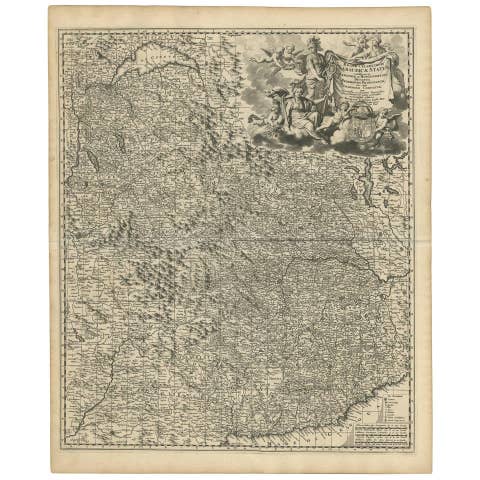
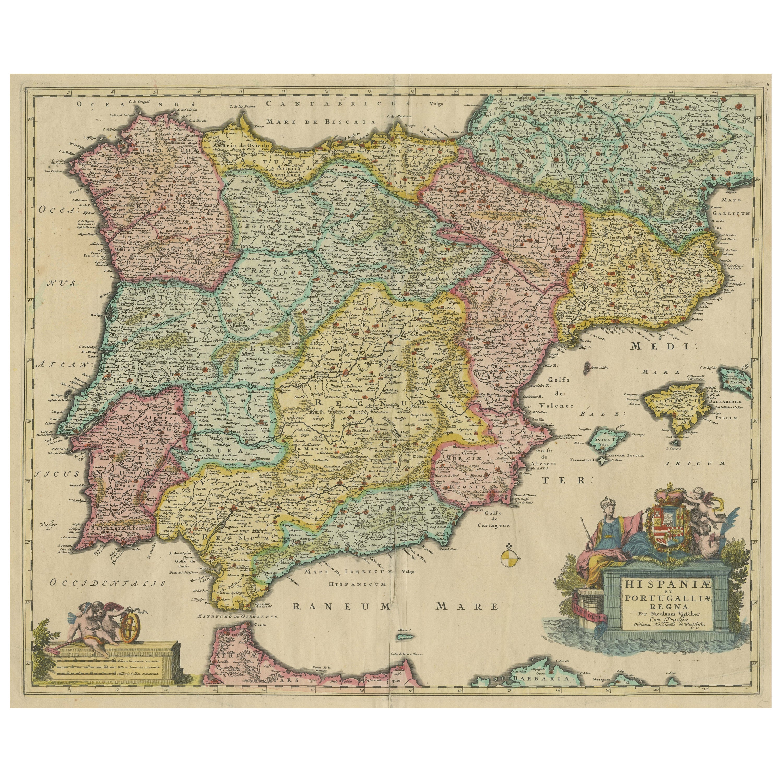

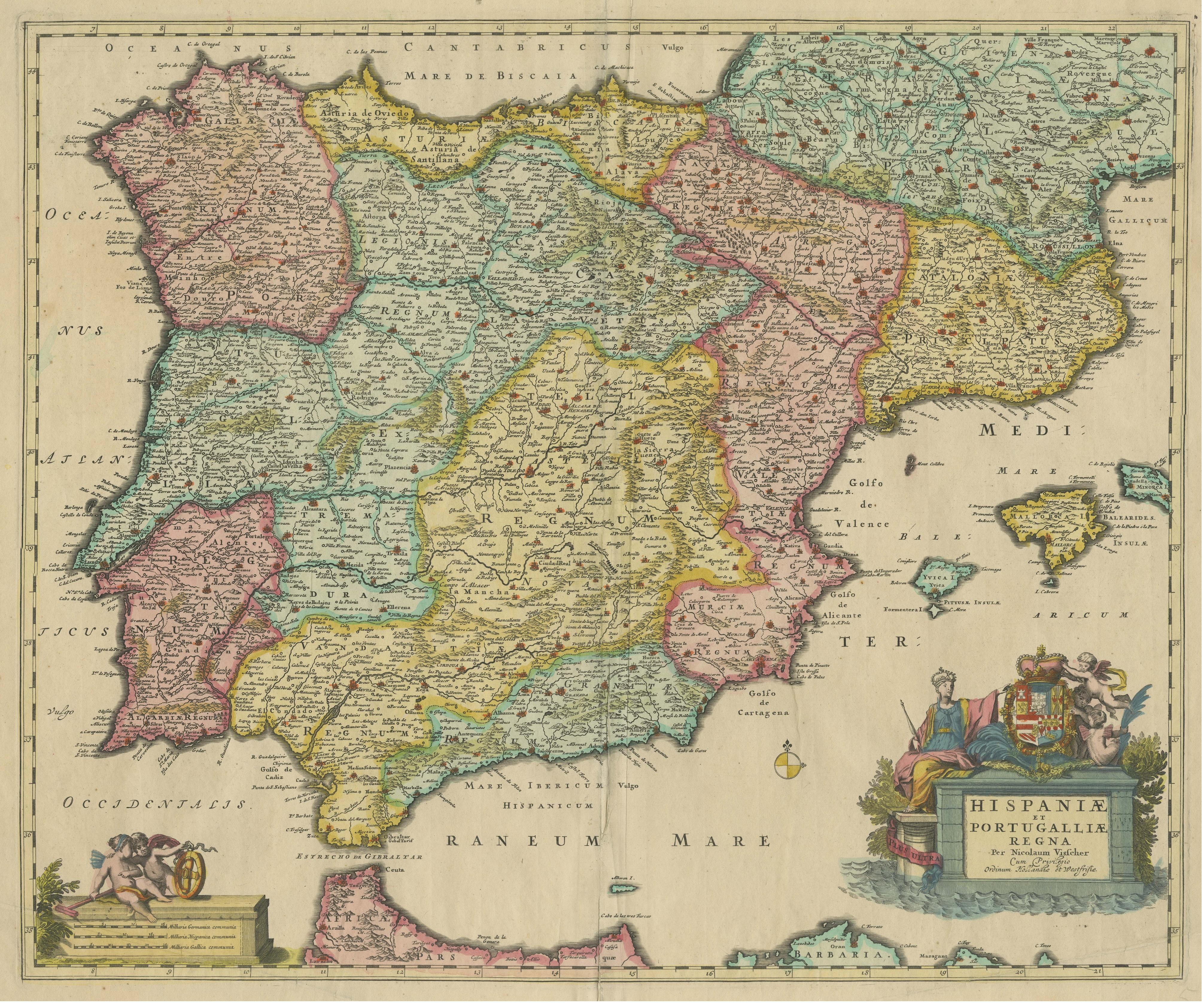
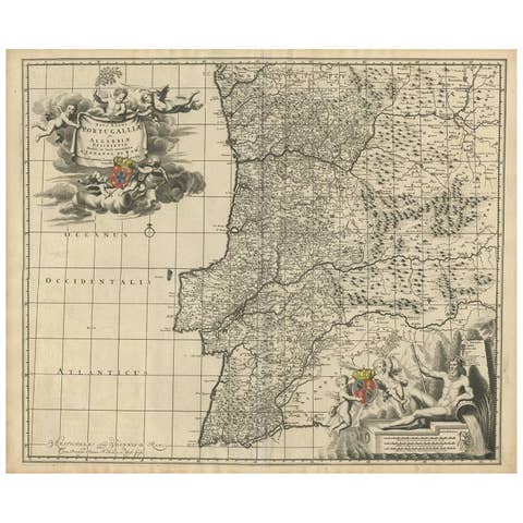
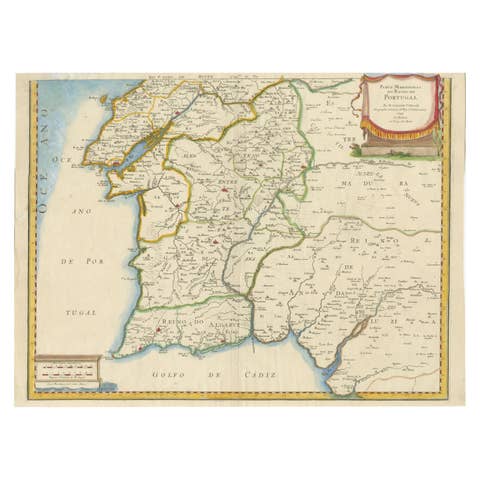
Antique Map of the Iberian Peninsula with two decorative Cartouches, c.1680

€ 1 490

One of a kind: this is the sheet in the photographs. Ships from Langweer, the Netherlands.

Date
1680
Sheet size
51.7 × 62.4 cm (20.4 × 24.6 in)
Condition
Fair
Reference
BG-13433-4

Condition

Repaired: Original folding line, with existing splits and repairs. Age-related toning. Later hand coloring. Shows wear and creasing, also affecting image. Small tears in margins. Blank verso. Please study image carefully.
About this sheet

Antique map titled 'Hispaniae et Portugalliae Regna'. Original old map of the Iberian peninsula showing Spain, Portugal and the Balearic Islands. Two beautiful cartouches with several putti and coat of arms. Published by N. Visscher, circa 1680.

The Visscher family were art and map dealers in Amsterdam during the 17th century. Funded by C. J. Visscher (1587-1652), the business was continued by his son and grandson both named Nicolas. Nicolas Visscher I was born 1618 in Wenns, Austria. He died 1679 in Linz. After the death of Nicolas II, his widow passed the business to Pieter Schenk.

More from Southern Europe

Ask about this sheet

Antique Map of the Iberian Peninsula with two decorative Cartouches, c.1680
1680 · Ref. BG-13433-4 · € 1 490
We reply by email, usually within one working day.