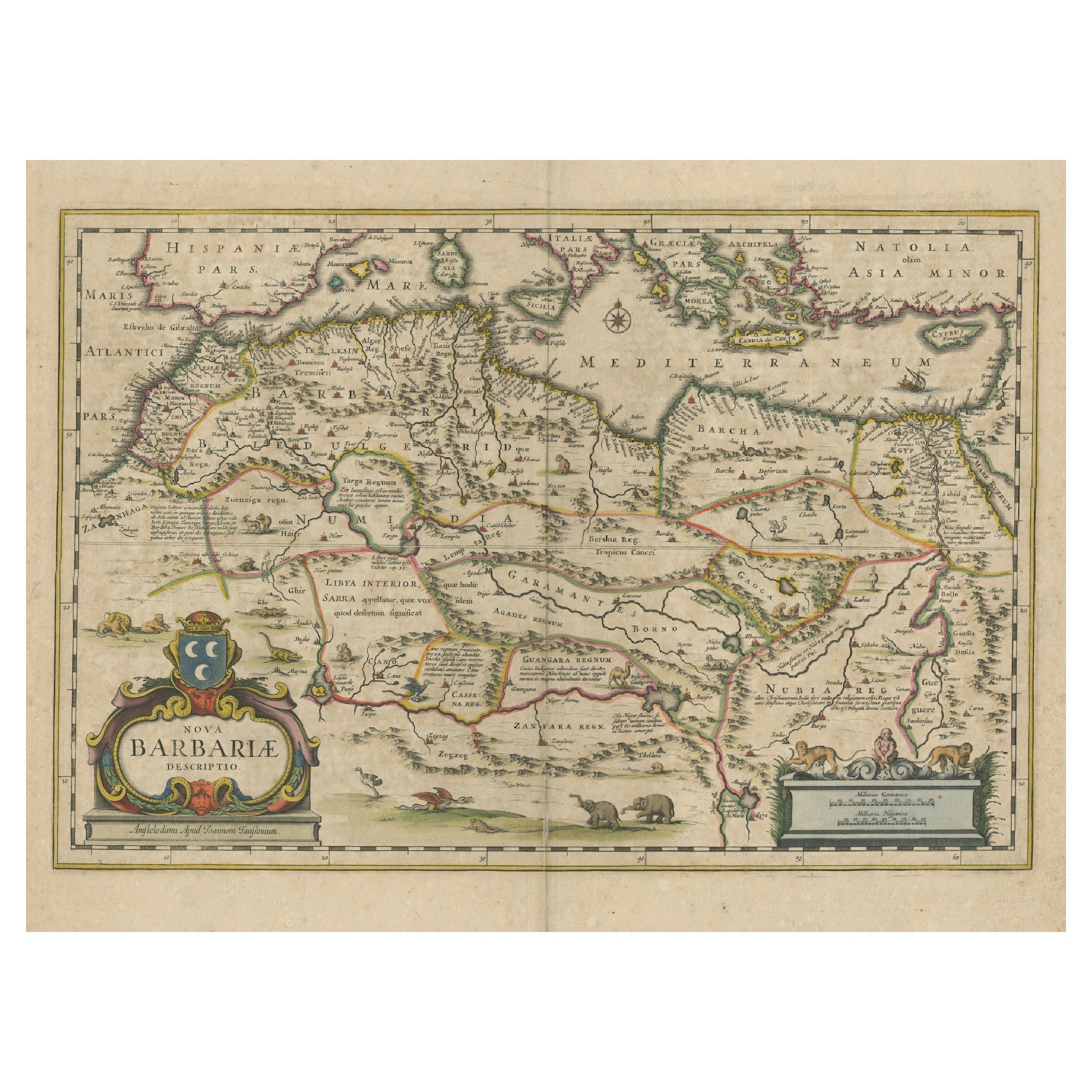
1640 Map of North Africa Nova Barbariae Descriptio or The Barbarian Coast
€ 470
One of a kind: this is the sheet in the photographs. Ships from Langweer, the Netherlands.
Date
1640
Sheet size
51 × 59.5 cm (20.1 × 23.4 in)
Condition
Good
Reference
BG-13647-2
Condition
The map is well-preserved with minimal signs of aging. Slight browning and minor foxing are present and overal toning. Original centerfold is intact, with mild wear along the crease. Colors are vibrant, and cartouche details remain clear.
About this sheet
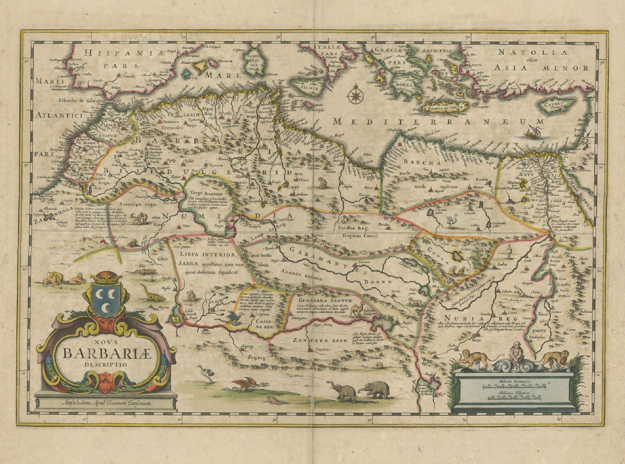
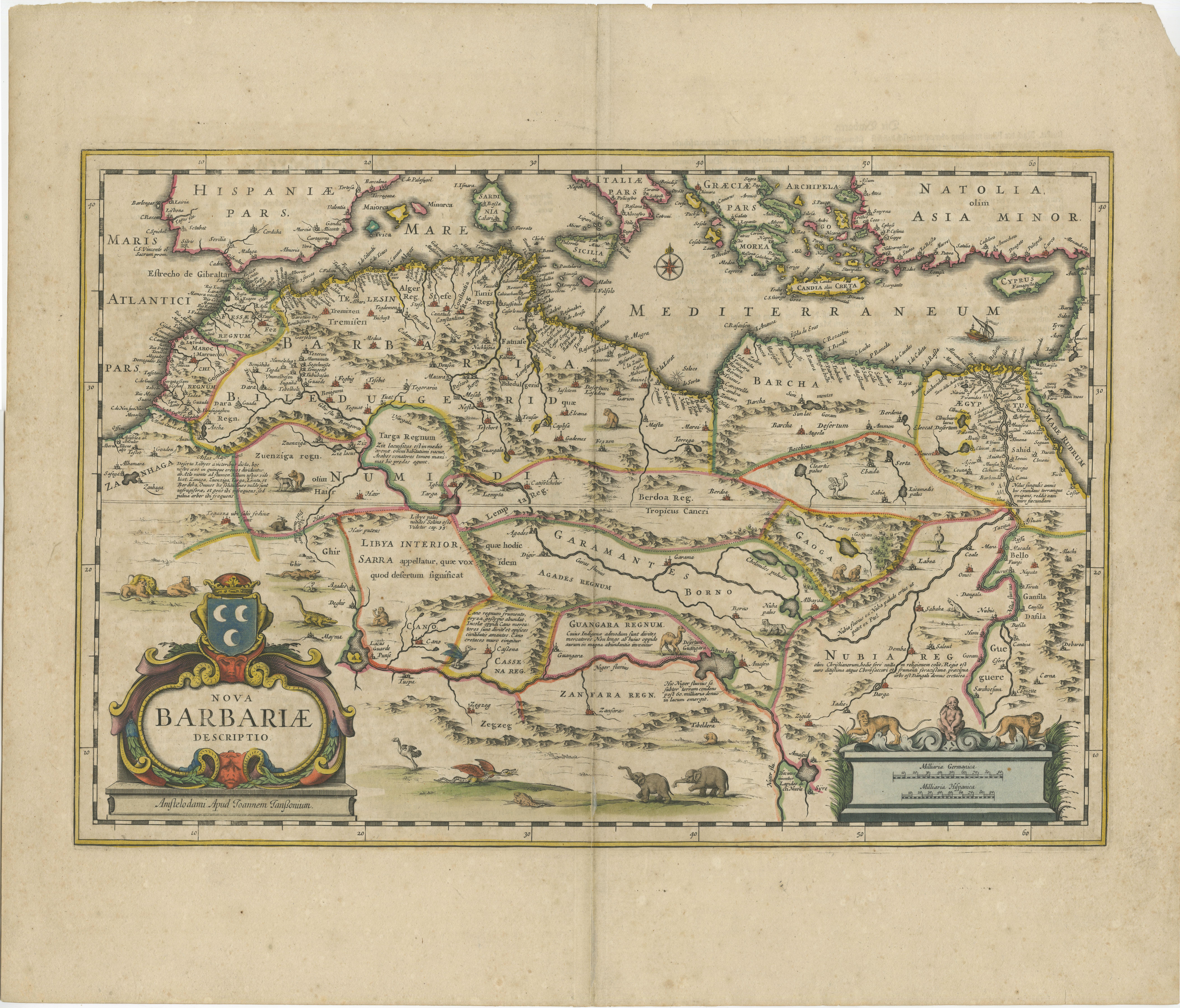
1640 Antique Map of North Africa 'Nova Barbariae Descriptio' by Johannes Janssonius
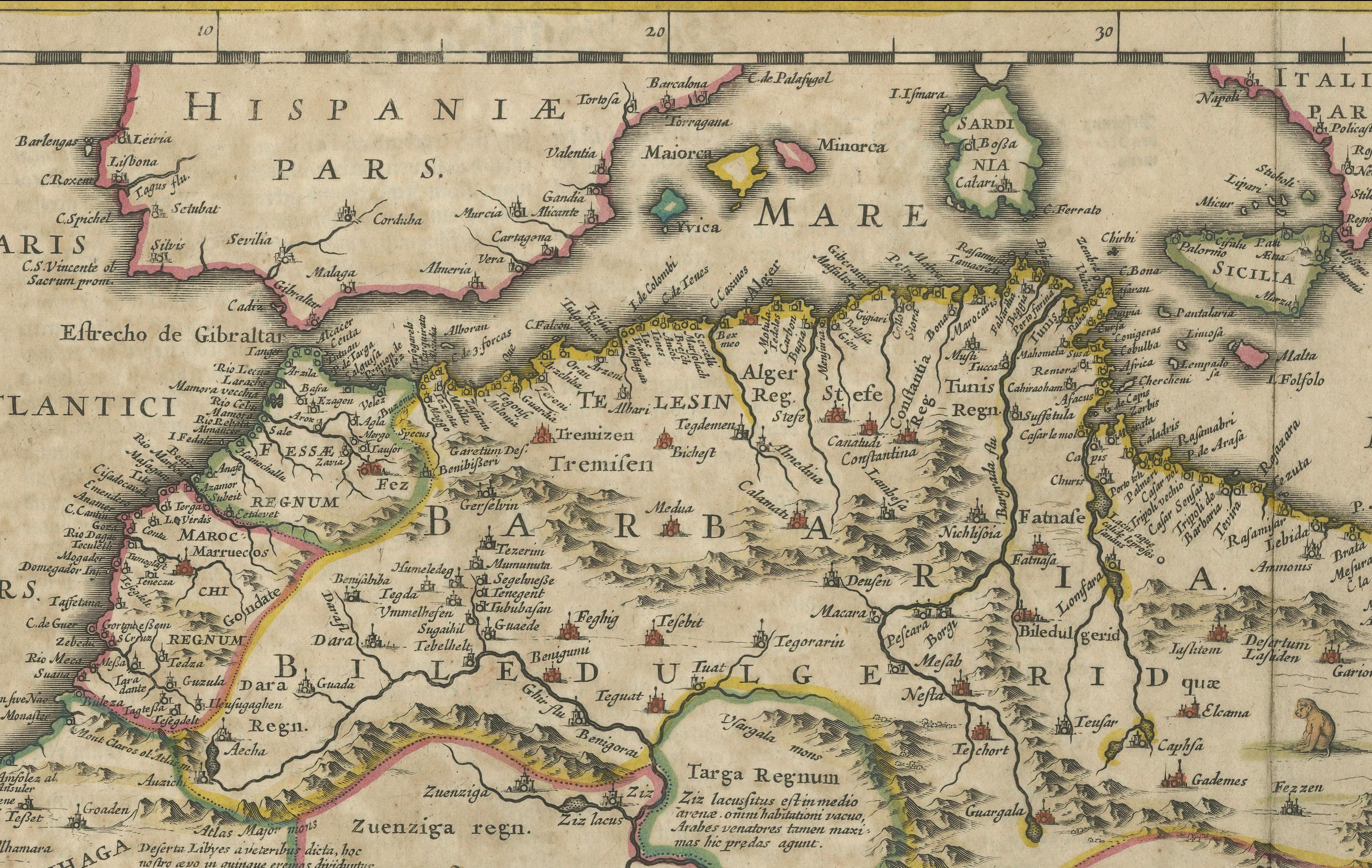
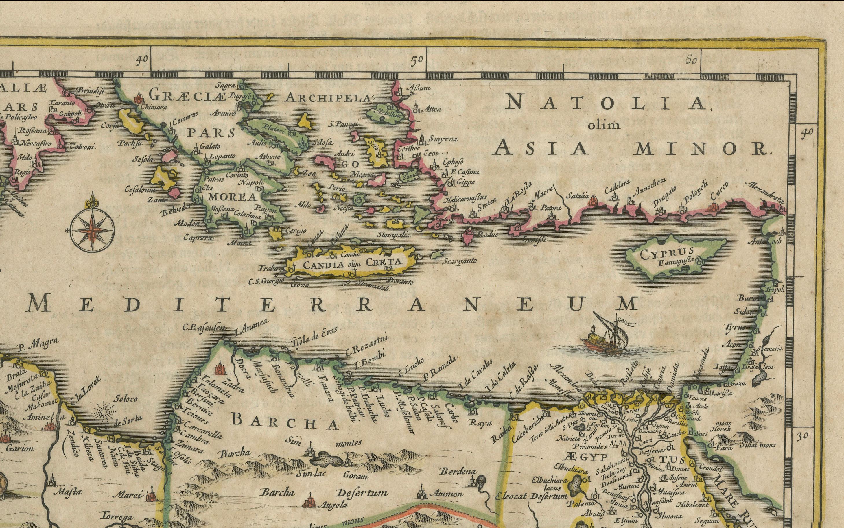
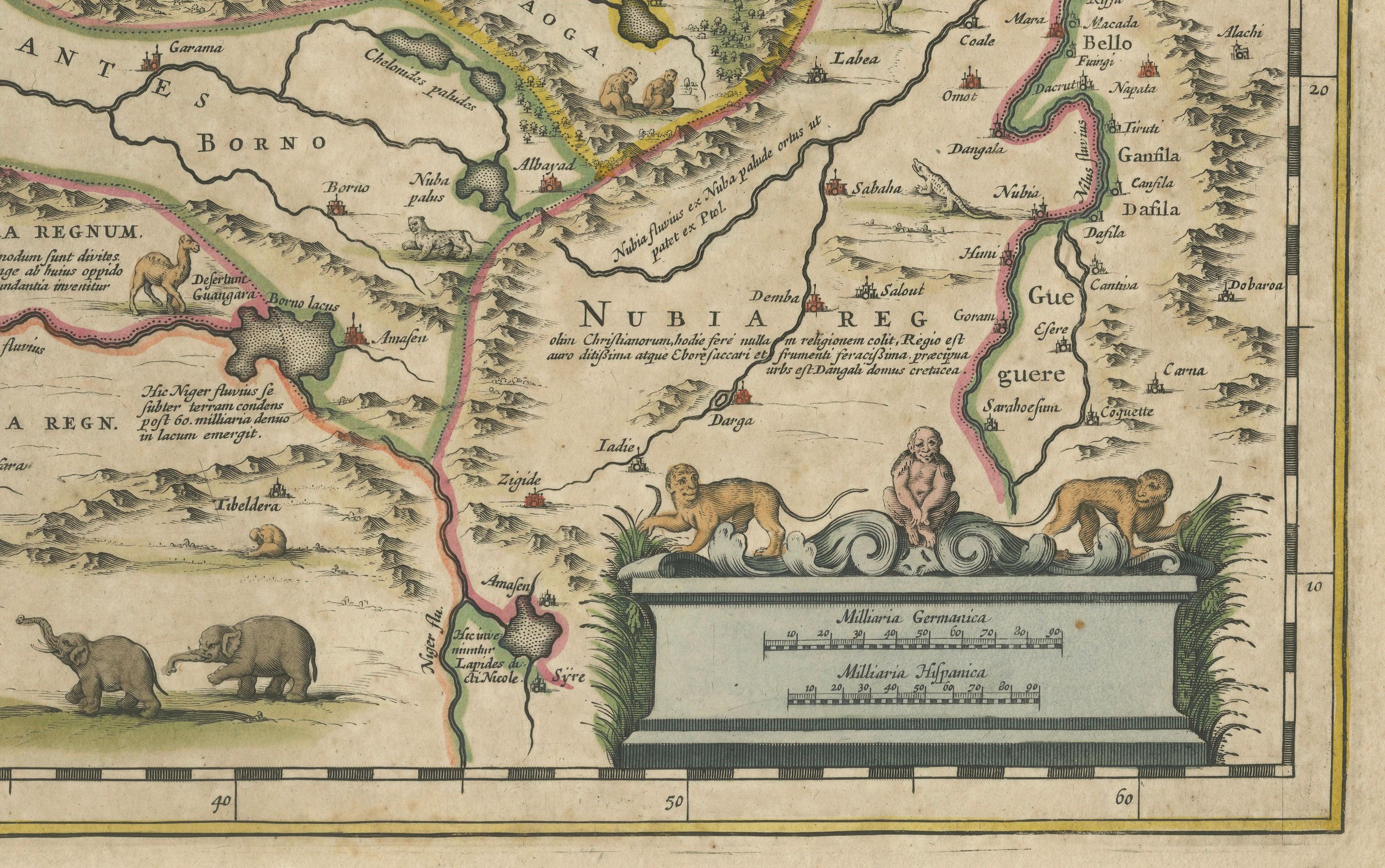
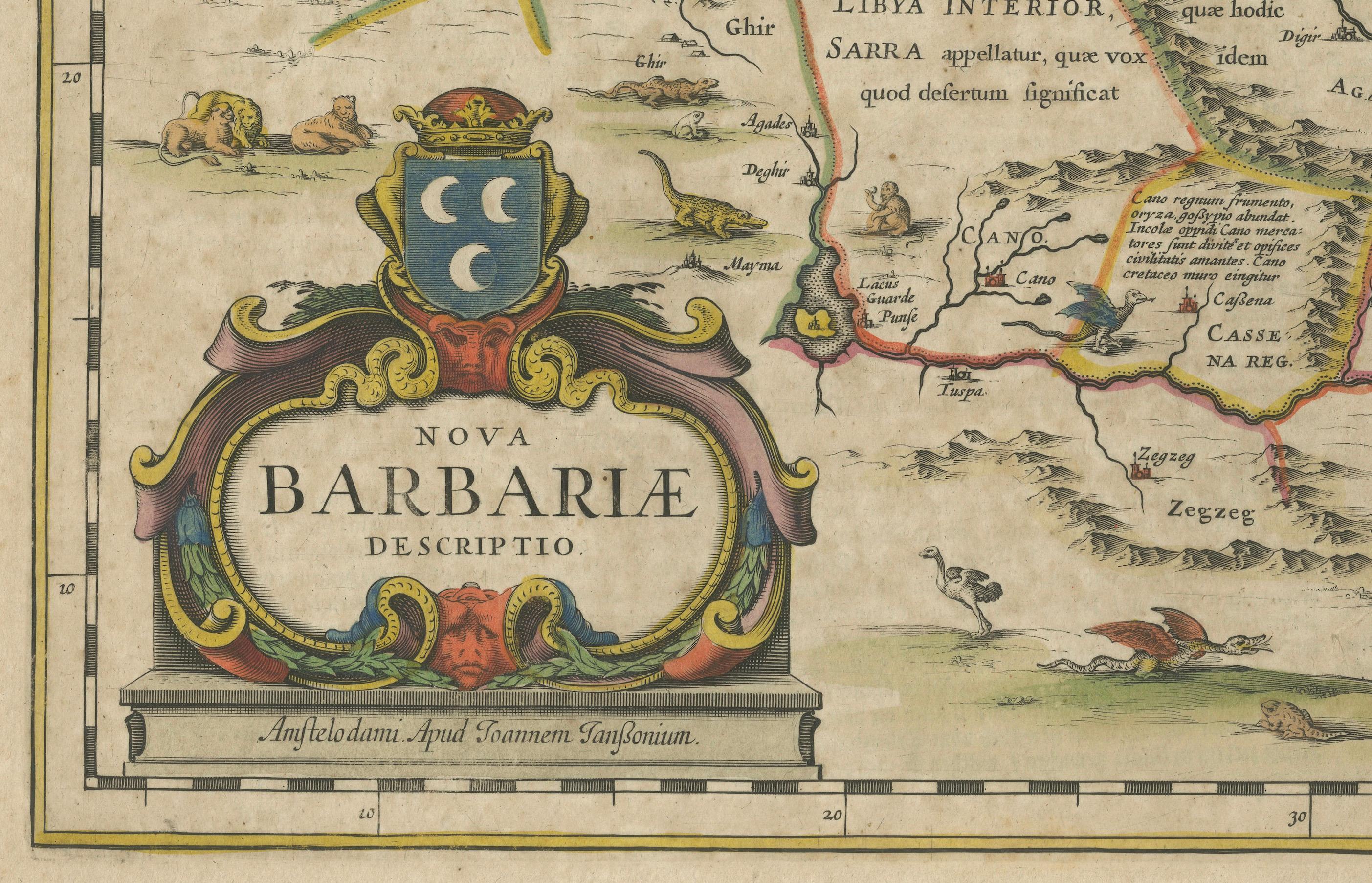
This antique map titled Nova Barbariae Descriptio*, published by Johannes Janssonius around 1640, offers a detailed view of North Africa and parts of the Mediterranean. The map covers the Barbary Coast, including modern-day Morocco, Algeria, Tunisia, and Libya, as well as parts of Spain, Italy, and Greece across the Mediterranean Sea. The decorative elements include a cartouche with crescent moons symbolizing the Islamic influence in North Africa. It also features animals like lions and rhinoceroses, representing the exotic fauna of Africa as perceived by European mapmakers of the time.
About the Mapmaker: Johannes Janssonius (1588–1664) was a prominent Dutch cartographer during the Golden Age of Dutch cartography, producing beautifully illustrated and meticulously detailed maps. He was a rival of the Blaeu family, another notable mapmaking family in Amsterdam, and was known for his high-quality atlases, including *Atlas Novus*. Janssonius’s maps were popular for their geographical accuracy and decorative appeal, often included in grand atlases prized by European aristocrats and scholars.
Map’s Regions and Places: -*Barbariae (Barbary Coast) – Extending along the coast of North Africa, encompassing the territories of present-day Morocco, Algeria, Tunisia, and Libya. - Hispania Pars – Represents a portion of Spain across the Mediterranean, showcasing the proximity between Europe and North Africa. - Mediterranean Sea – Centered between Europe and Africa, labeled *Mare Mediterraneum* with various islands marked, including Crete (*Candia*). - Libya Interior – Refers to the interior desert regions south of the Barbary Coast, indicating limited knowledge of the area's geography. - Tunis, Tripoli, Algiers – Major North African cities are marked as key coastal trading and cultural hubs. - Nubia Regn. (Nubia) – Southeast region, hinting at the historic kingdoms along the Nile. - Zanfara Regn. (Zamfara) and Guangara Regn. – Referencing ancient kingdoms within the Sahel region. - Atlas Mountains – The mountain range across Morocco and Algeria is illustrated in a schematic style.
Condition Report: The map is well-preserved with minimal signs of aging. Slight browning and minor foxing are present and overal toning. Original centerfold is intact, with mild wear along the crease. Colors are vibrant, and cartouche details remain clear.