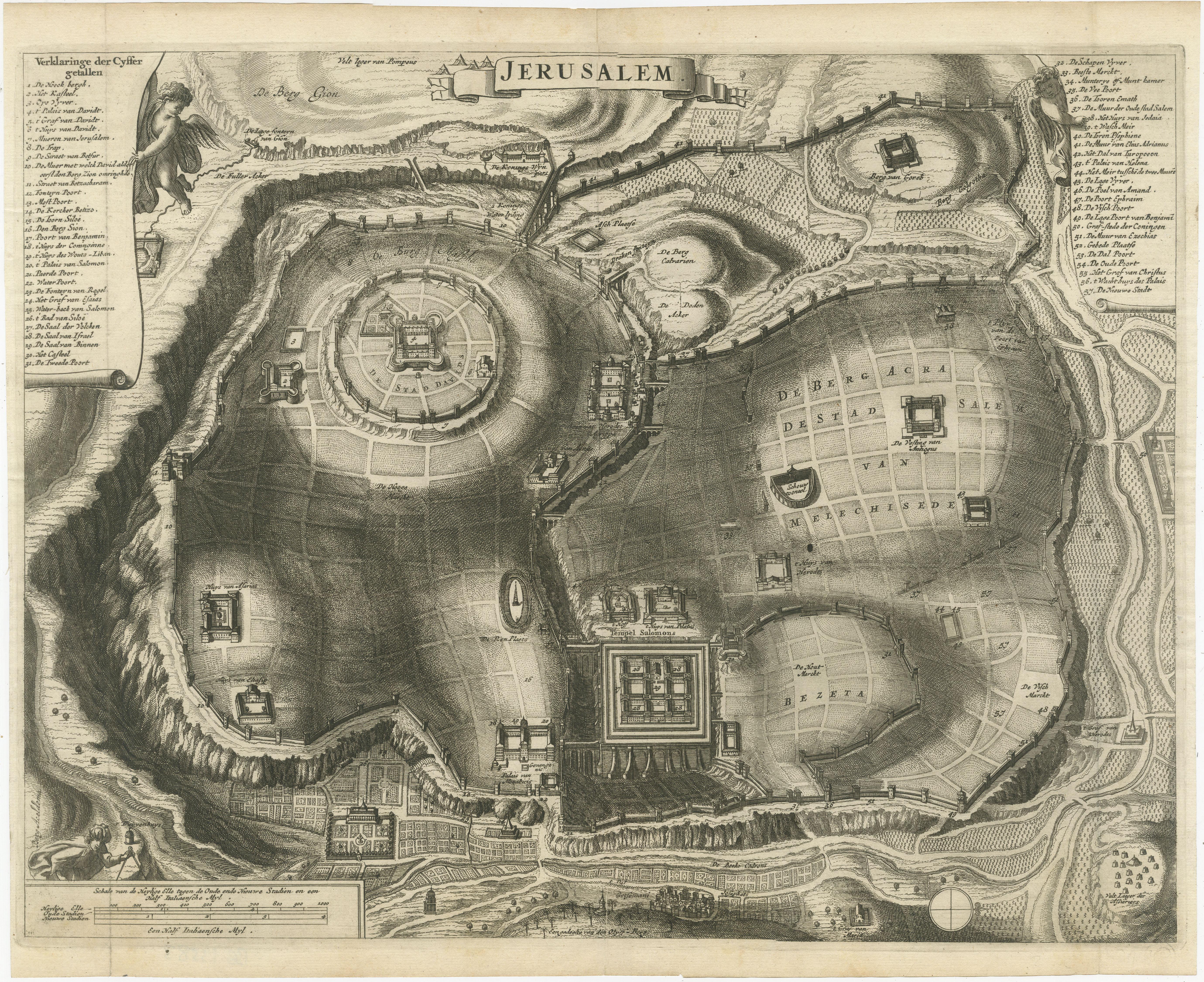
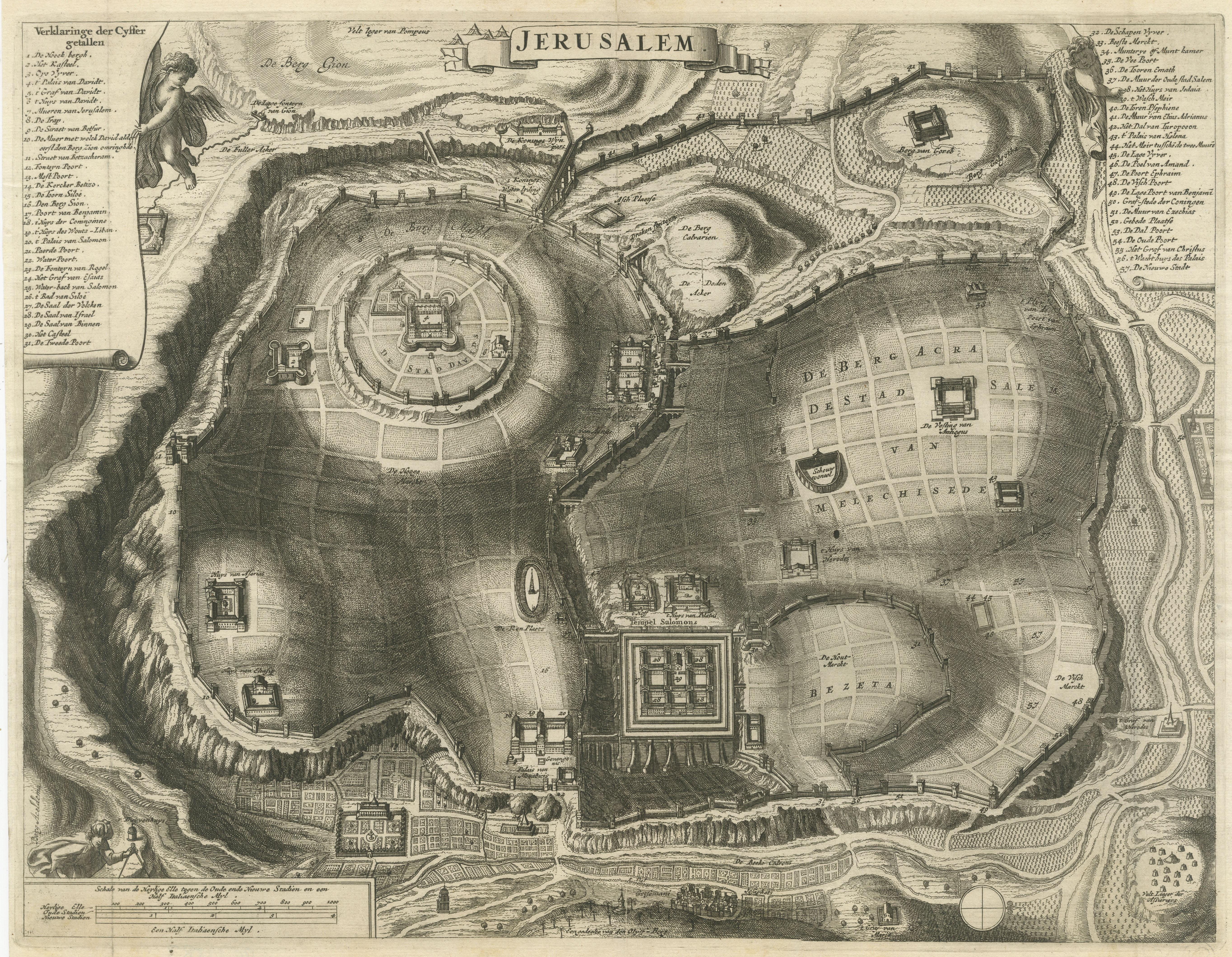
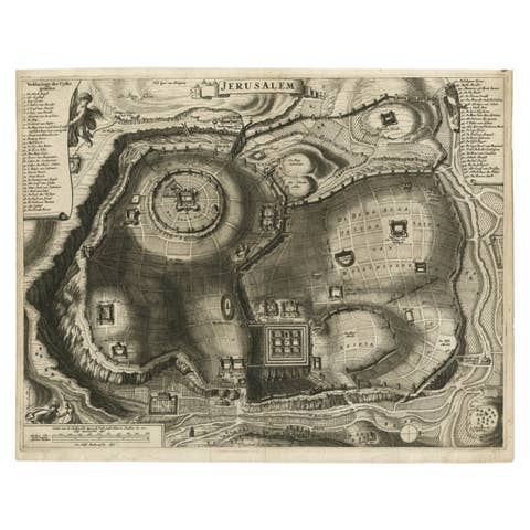
Plan of Ancient Jerusalem – Cornelis de Bruijn’s Engraved City View c.1698
€ 540
One of a kind: this is the sheet in the photographs. Ships from Langweer, the Netherlands.
Date
1698
Sheet size
31.4 × 38 cm (12.4 × 15.0 in)
Condition
Good
Reference
BG-13583
Condition
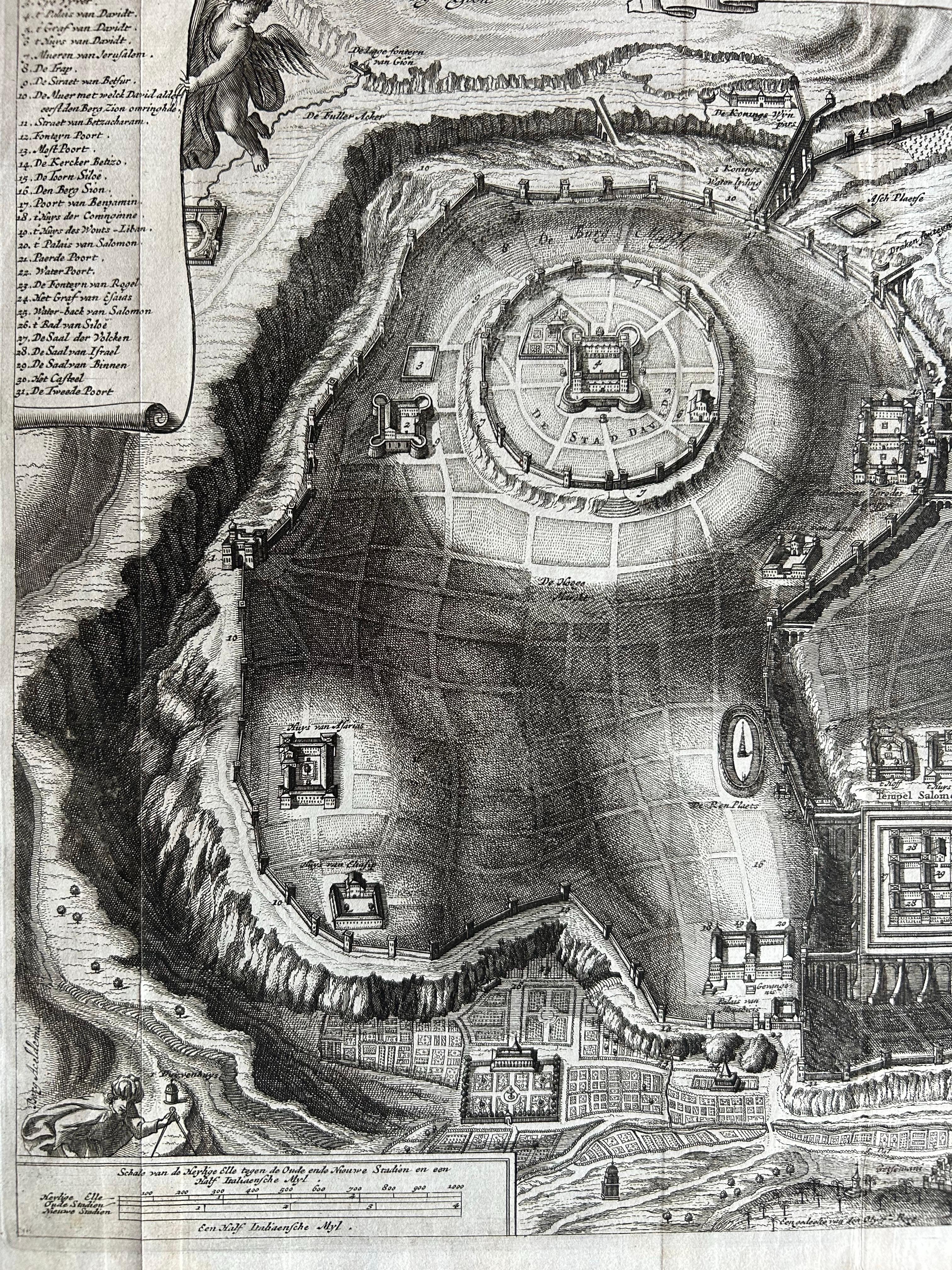
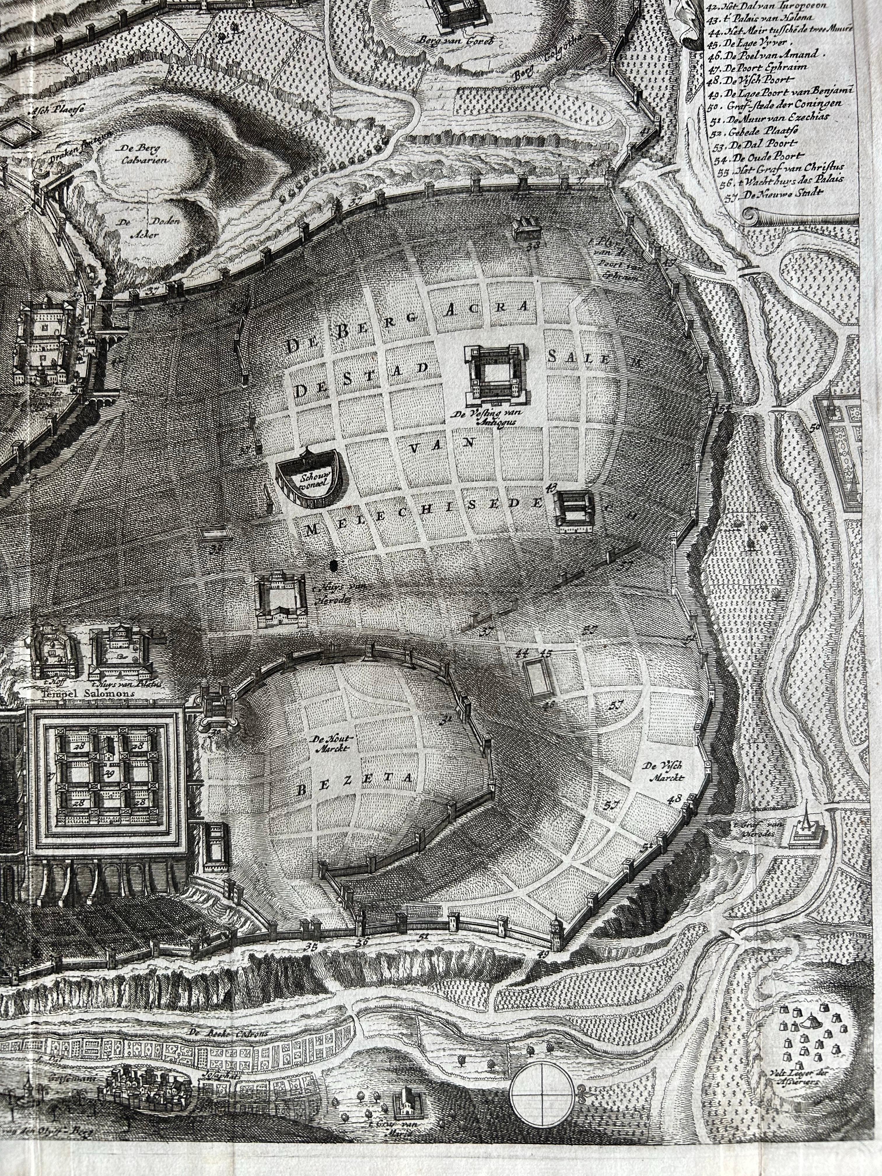
Excellent impression with strong plate tone and fine detail. Minor marginal toning and one or two faint spots, not affecting the engraved surface. Paper remains stable and in very good condition, but some creases are to be seen.
About this sheet
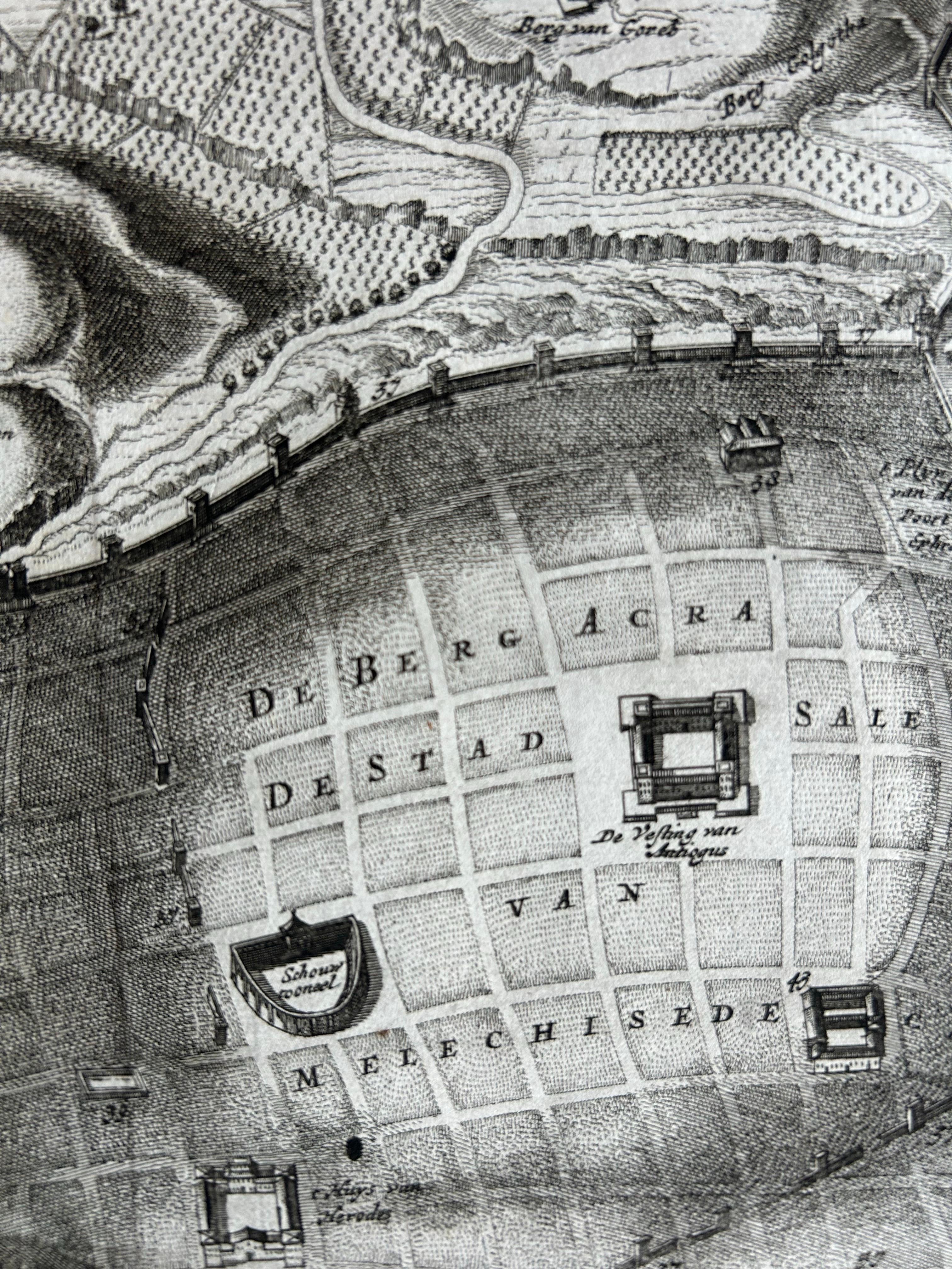
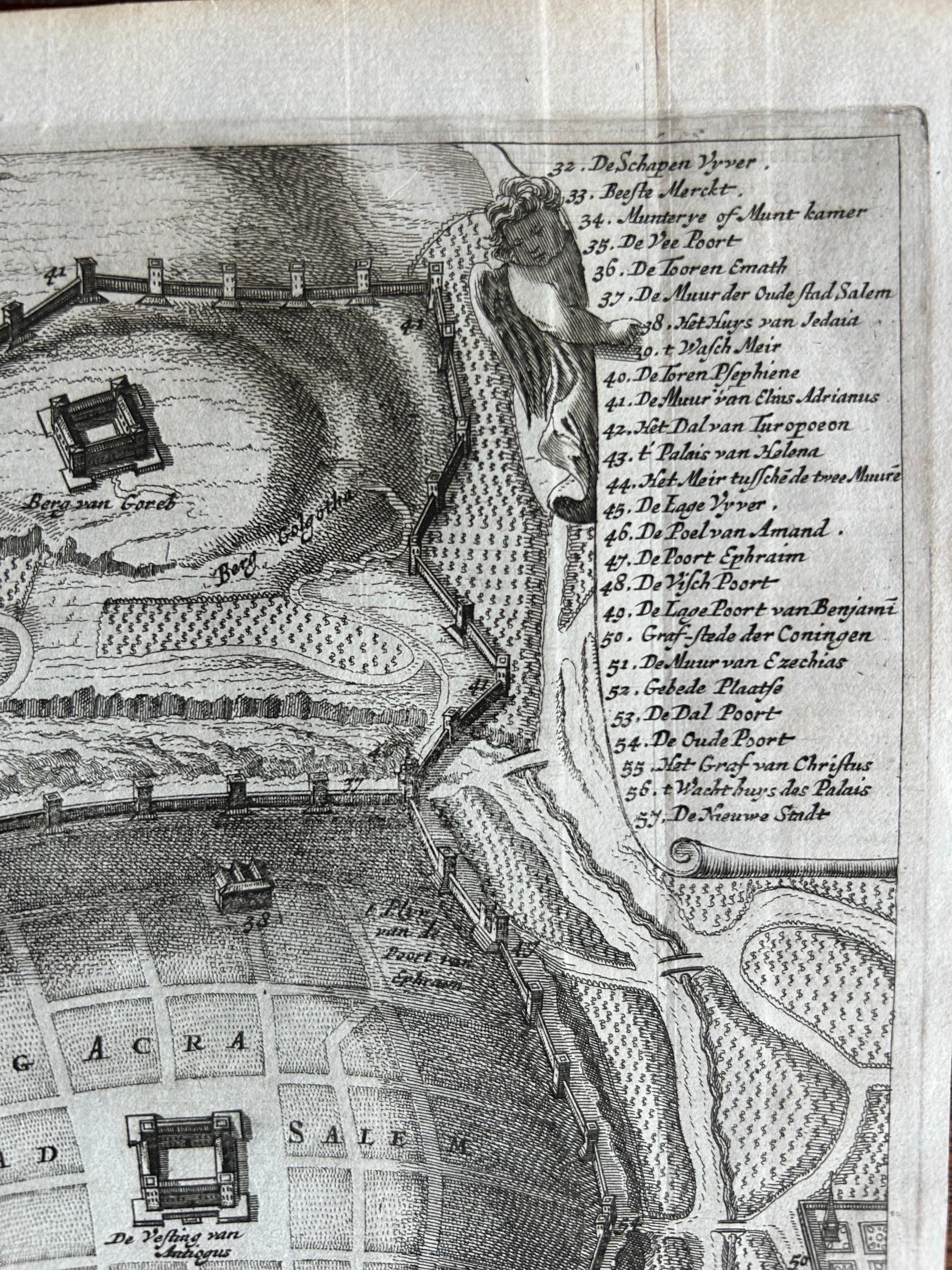
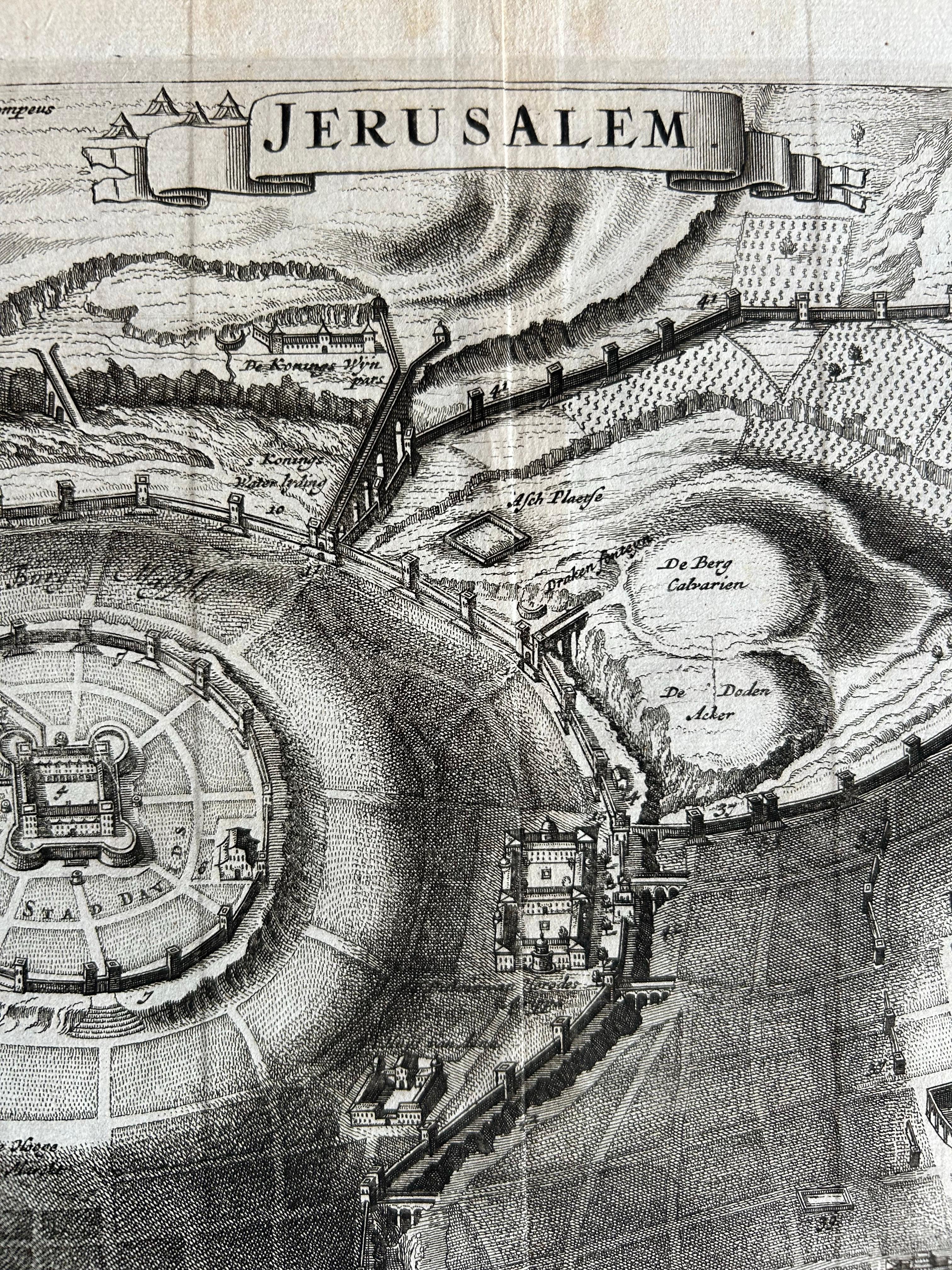
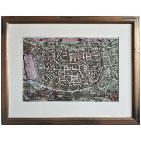
Plan of Ancient Jerusalem – Cornelis de Bruijn’s Engraved City View c.1698
This antique map titled Jerusalem is an intricate plan of the ancient city, richly detailed and marked with a comprehensive key identifying key locations and monuments. The engraving provides a bird’s-eye view of the city as it was imagined during biblical times, showing city walls, sacred sites, buildings, and landscape features with remarkable clarity and precision.
The map is attributed to Cornelis de Bruijn (1652 – c.1726/7), a Dutch artist, explorer, and chronicler known for his extensive travels and illustrated travel books. De Bruijn visited Jerusalem during his eastern journey in the late 17th century and was among the first Westerners to make widely accessible depictions of the city. This map likely stems from his celebrated publication Reizen van Cornelis de Bruyn door de vermaardste Deelen van Klein Asia (Voyages of Cornelis de Bruijn through the Most Celebrated Parts of Asia Minor), published in 1698.
De Bruijn’s works aimed to capture ancient cities not only as they appeared but also as they were imagined through historical and religious narratives. His map of Jerusalem, while not topographically accurate by modern standards, merges observation with idealized reconstruction, making it both a historical artifact and a devotional image. It became one of the most influential representations of the city during the late 17th and early 18th centuries.
Condition summary: Excellent impression with strong plate tone and fine detail. Minor marginal toning and one or two faint spots, not affecting the engraved surface. Paper remains stable and in very good condition, but some creases are to be seen.
Framing tips: This piece suits a classic, museum-style frame with a wide off-white or ivory mount and either black, walnut, or dark olive wood for contrast. Consider non-reflective UV-protective glass to preserve the quality of the paper and fine engraved lines.