Maps & PrintsBartele Gallery · Langweer
Home / Antique Maps / Europe / Western Europe / Germany

Germany · 17th century

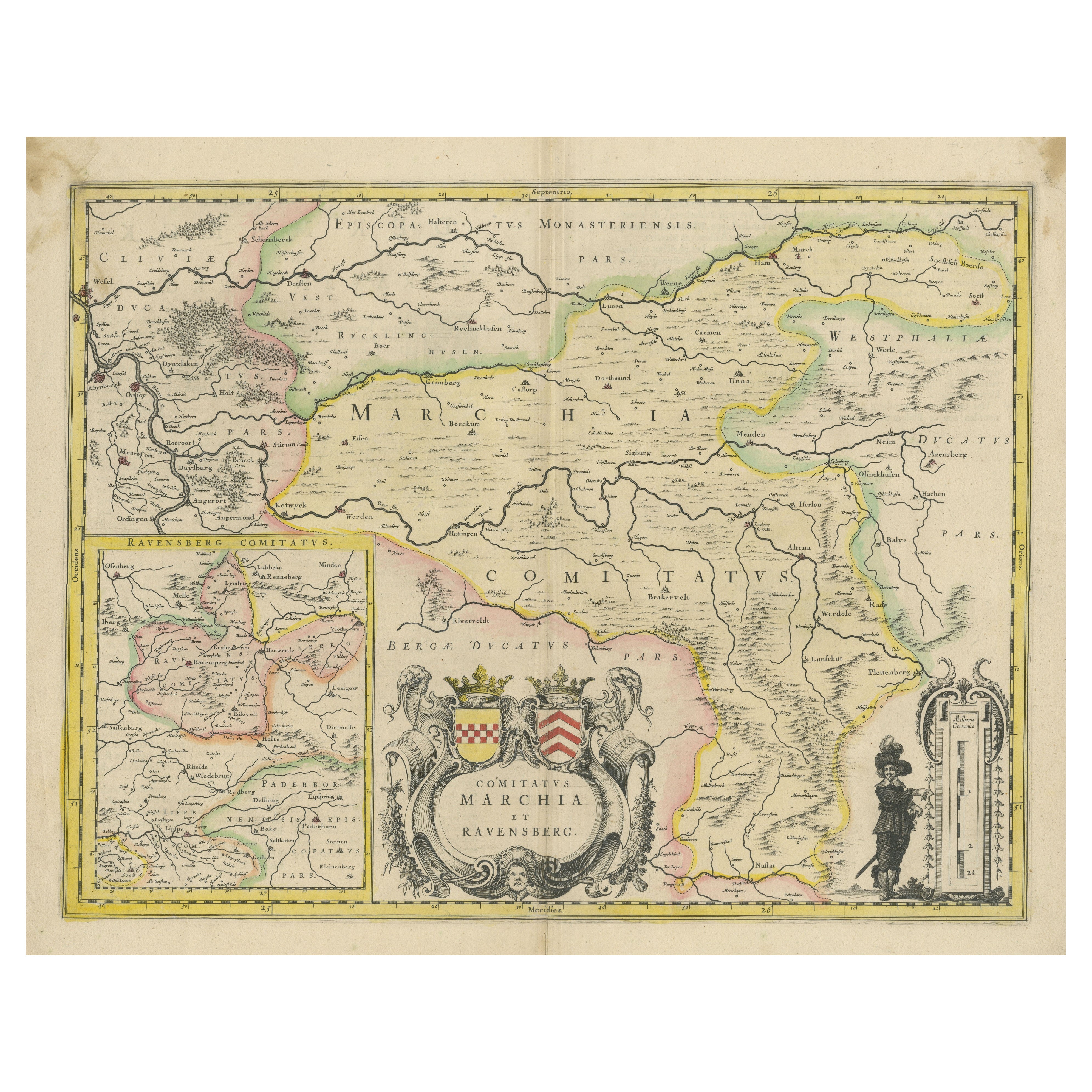

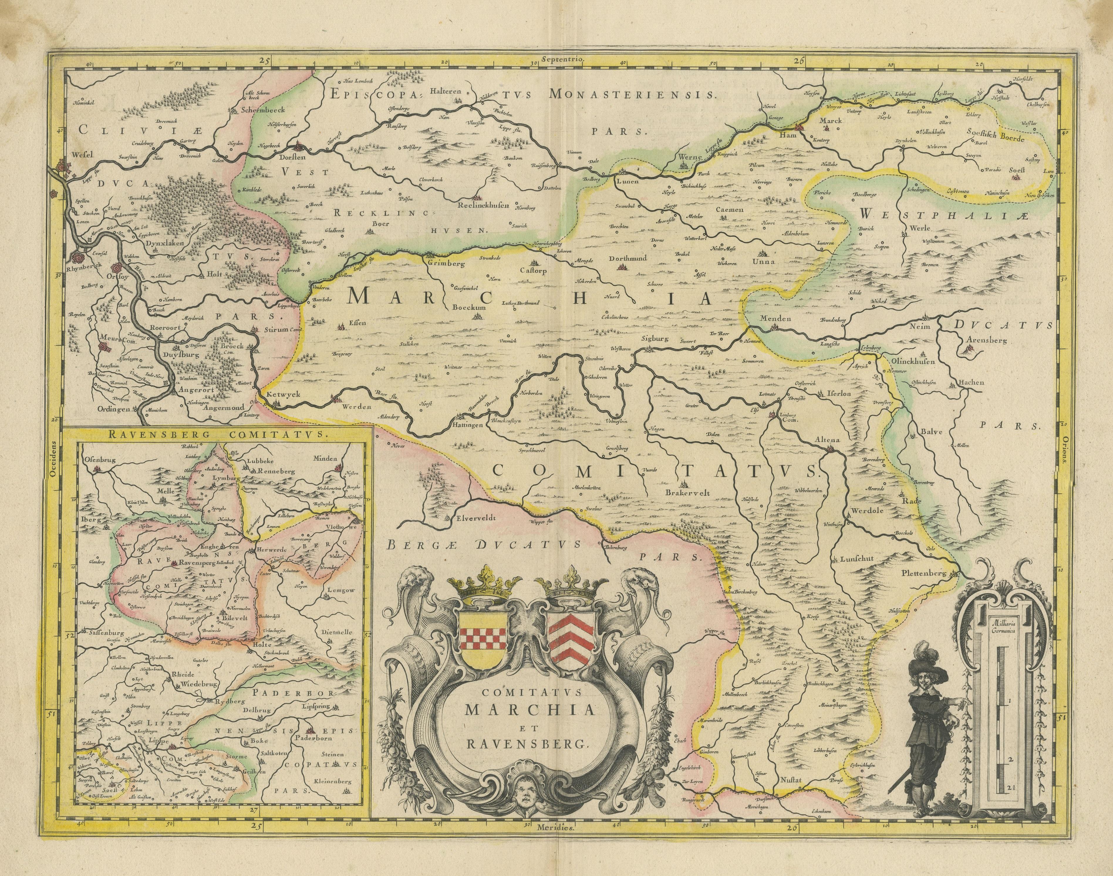
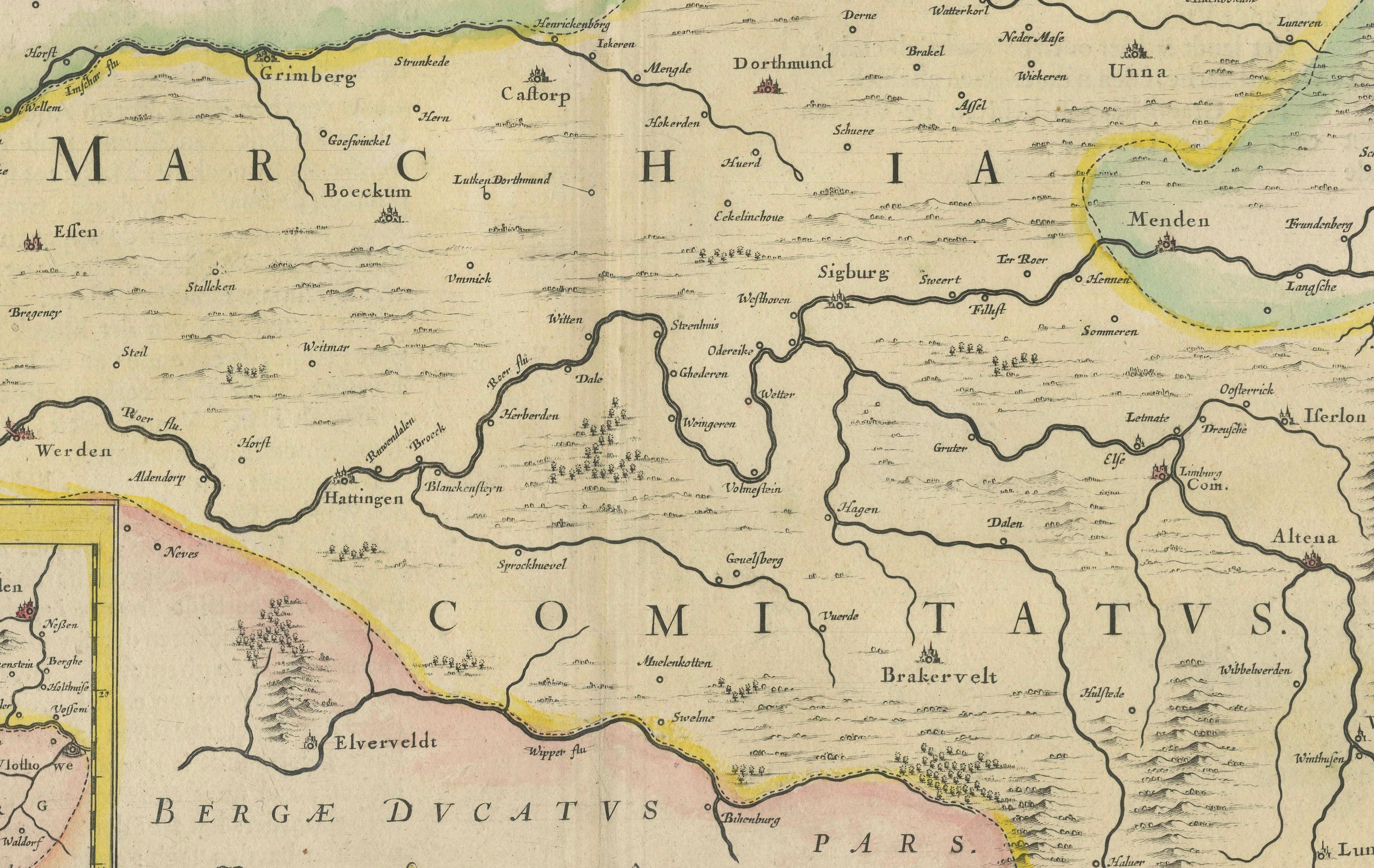
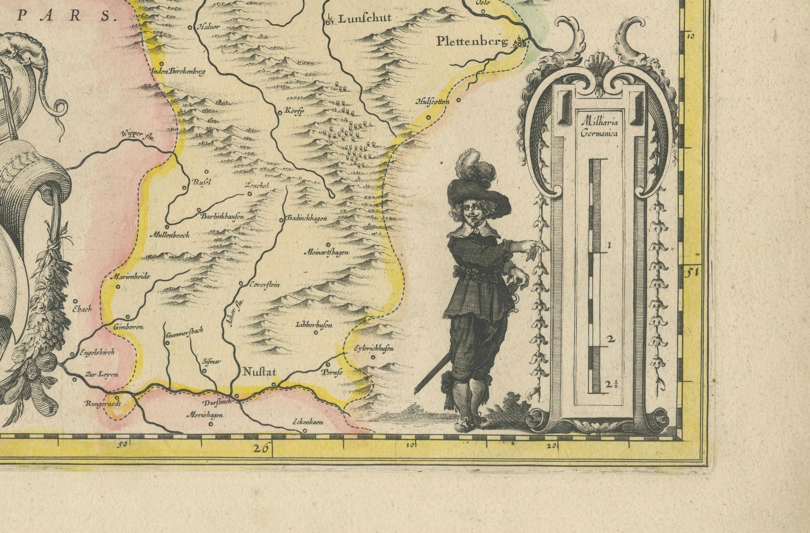
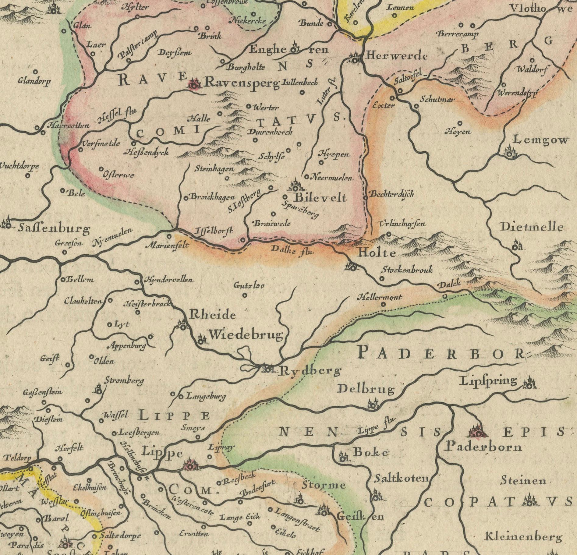
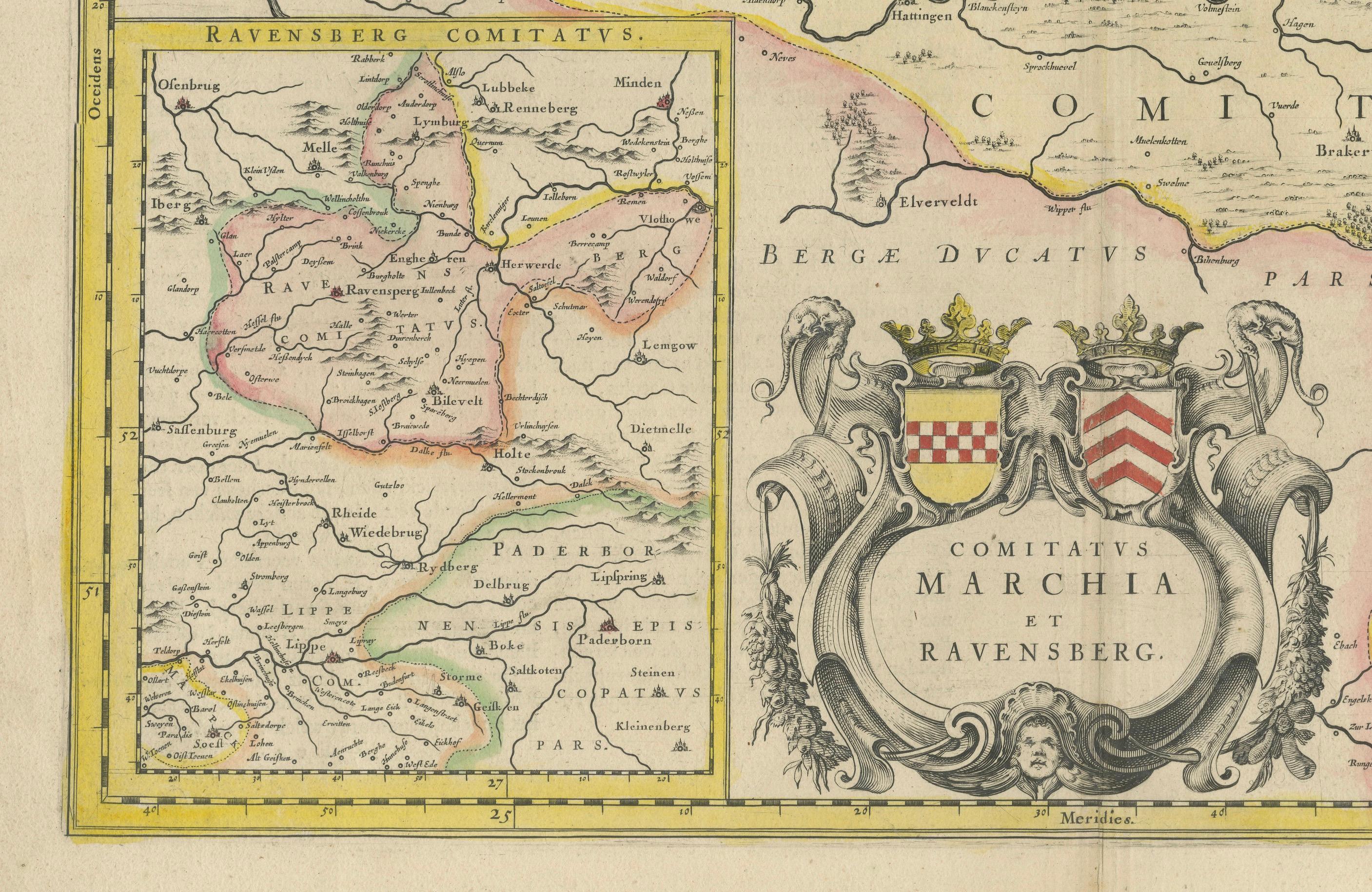
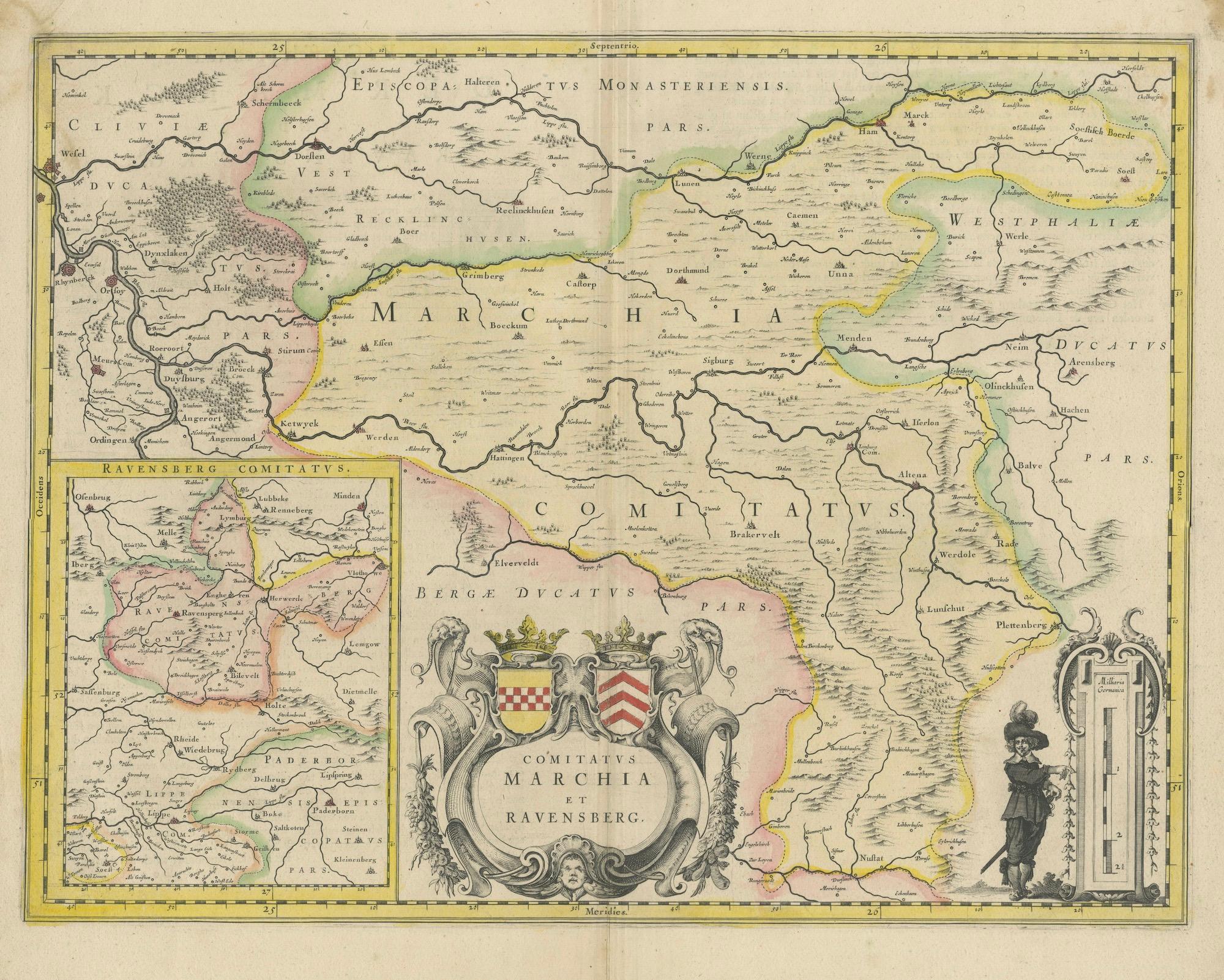
Map of Comitatus Marchia et Ravensberg: Historical Counties in Germany, c.1660

€ 495

One of a kind: this is the sheet in the photographs. Ships from Langweer, the Netherlands.

Date
1660
Sheet size
47.9 × 55.8 cm (18.9 × 22.0 in)
Condition
Good
Reference
BG-13441-11

Condition

Good, general age-related toning. Original folding line. Minor wear and soiling, Dutch text on verso. Please study image carefully.
About this sheet

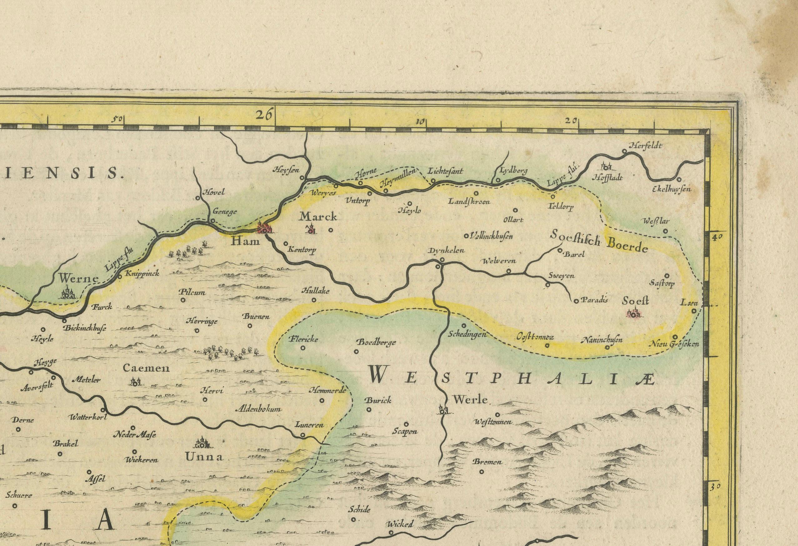
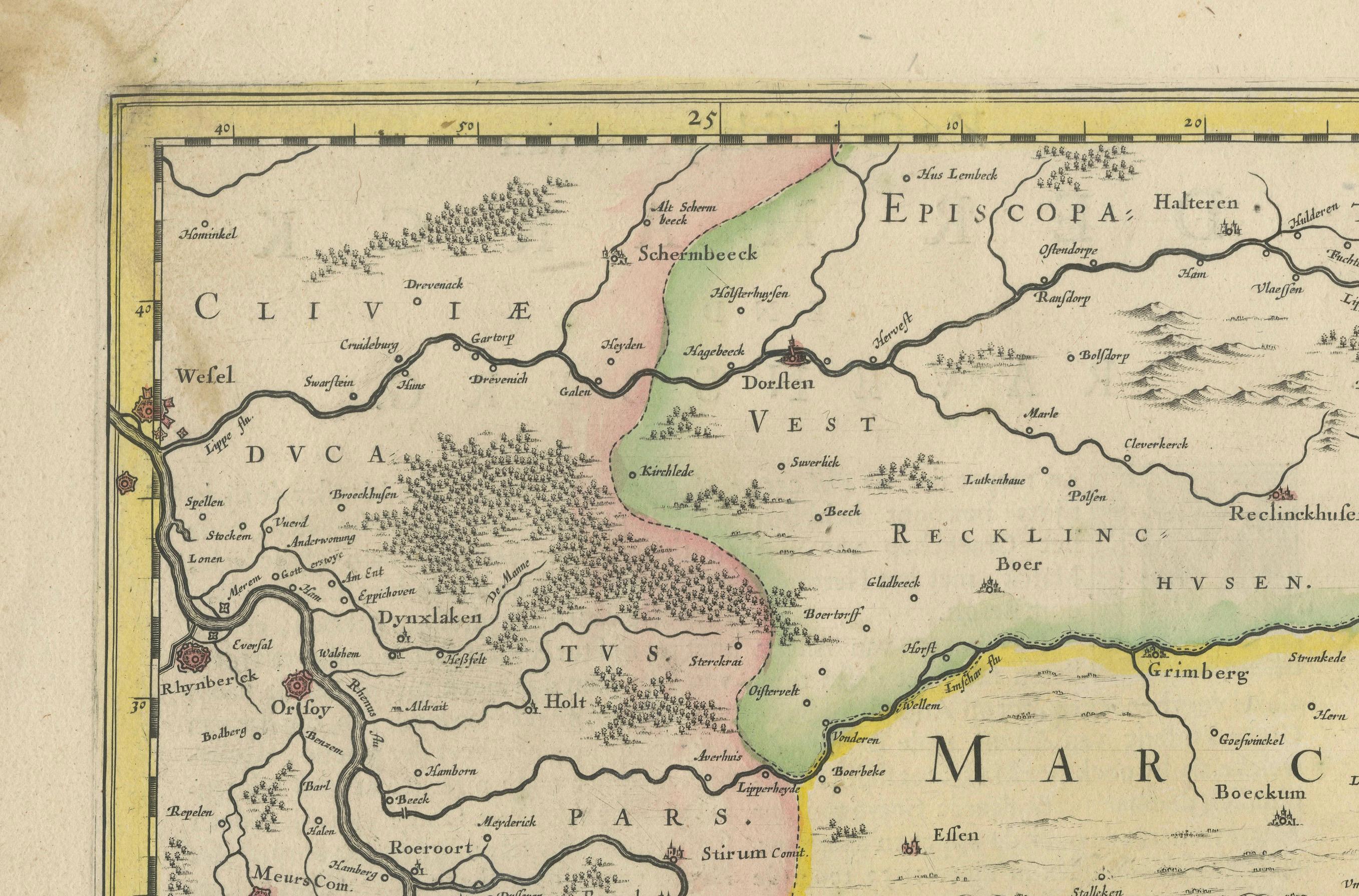
Antique map titled 'Comitatus Marchia et Ravensberg'. This map depicts two historical counties of the Holy Roman Empire: Marks and Ravensberg. Major cities, towns, mountains, and rivers are identified. An inset at the bottom left shows Ravensberg and its surrounding regions. The map is adorned with an elaborate title cartouche featuring the coats of arms of the two counties and a scale of miles cartouche flanked by a regional figure. Published by J. Blaeu, circa 1660.

Joan was a Dutch cartographer born in Alkmaar, the son of cartographer Willem Blaeu. In 1638 he was appointed his father’s successor in the Hydrographic office of the V.O.C. His efforts culminated in the magnificent Atlas Major and the town-books of the Netherlands and of Italy – works unsurpassed in history and in modern times, which gave eternal fame to the name of the Blaeus.

More from Germany

Ask about this sheet

Map of Comitatus Marchia et Ravensberg: Historical Counties in Germany, c.1660
1660 · Ref. BG-13441-11 · € 495
We reply by email, usually within one working day.