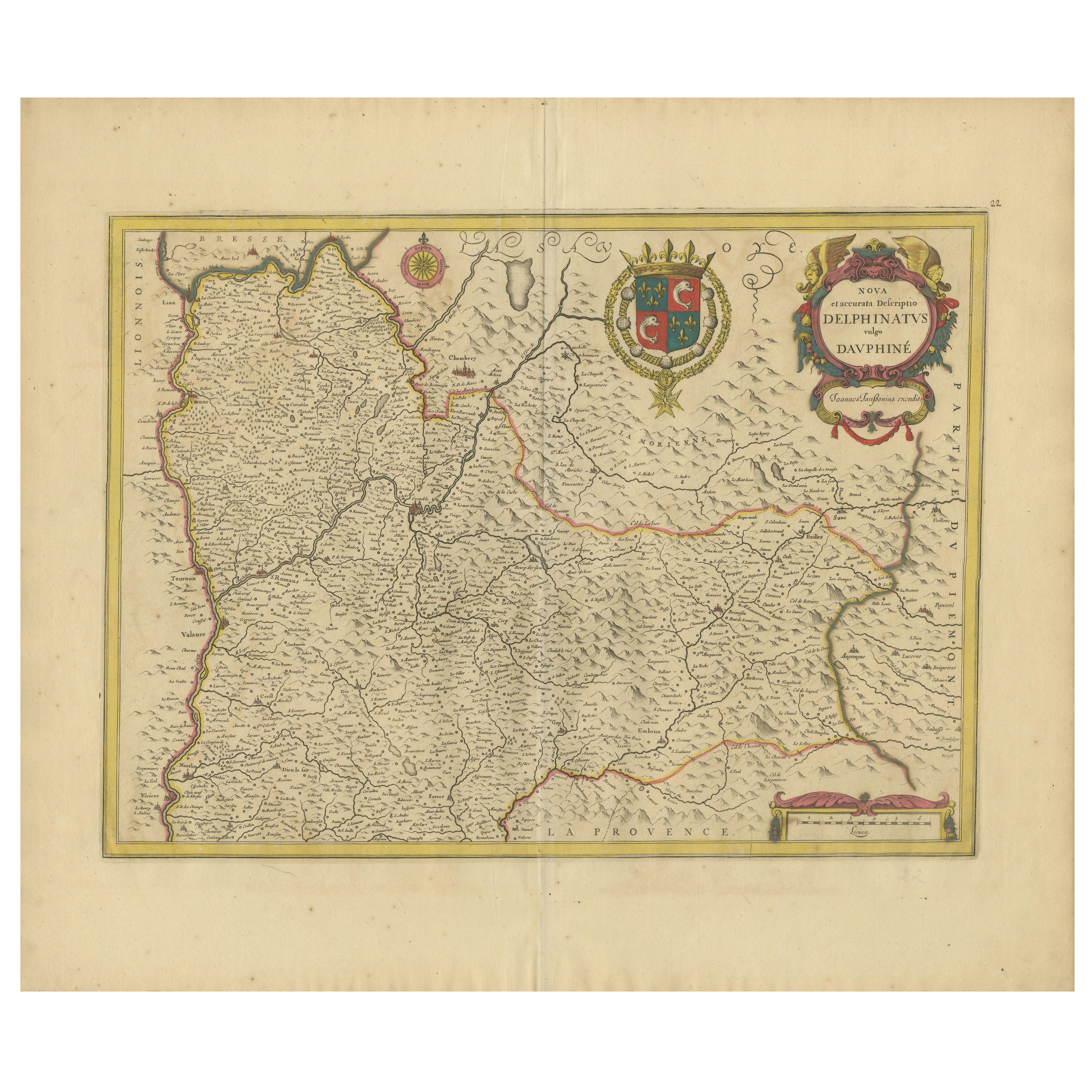
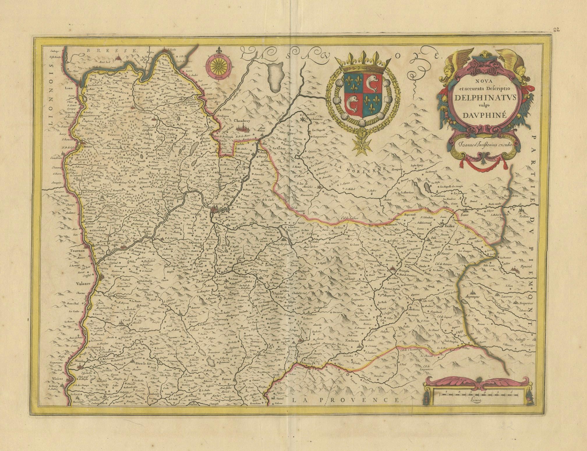
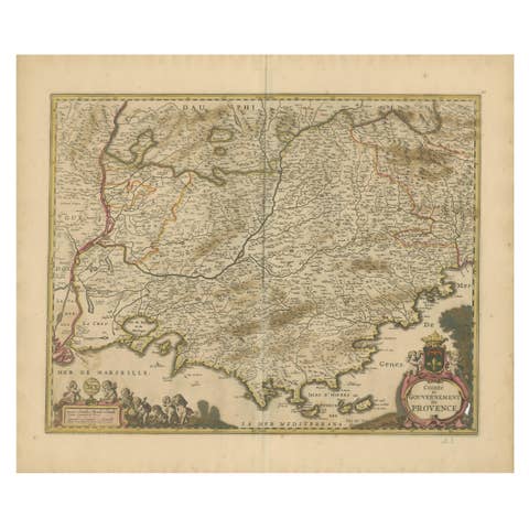
Rare 17th-Century Map of Dauphiné in Southeastern France by F. De Wit, ca.1688
€ 640
One of a kind: this is the sheet in the photographs. Ships from Langweer, the Netherlands.
Date
1688
Sheet size
52.9 × 62 cm (20.8 × 24.4 in)
Condition
Good
Reference
BG-14046-2
Condition
Condition Report: The engraving is in good to very good condition, with some offsetting or color bleeding visible. Minor age-related imperfections. Centrefold as issued. Please examine the image carefully for additional details.
About this sheet
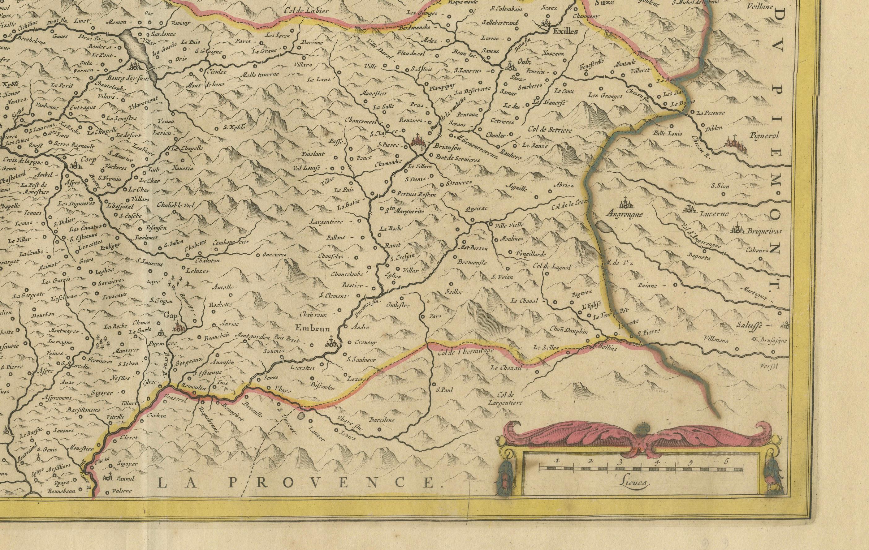
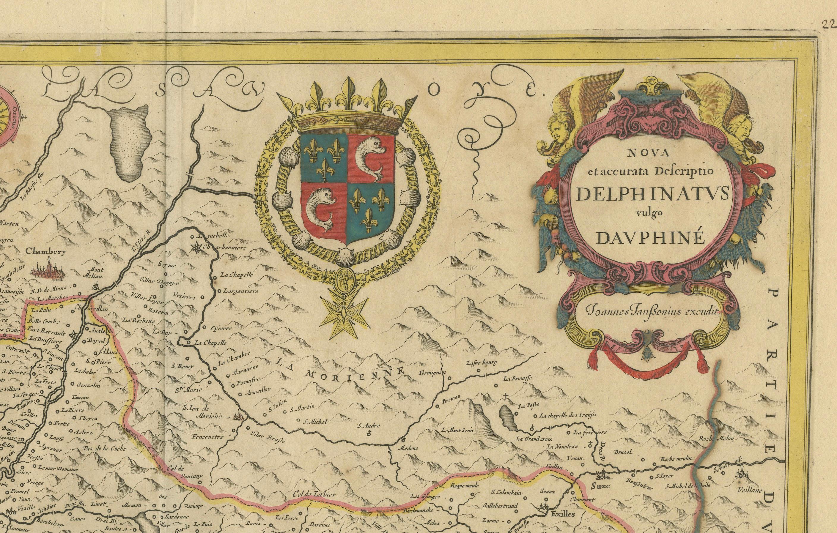
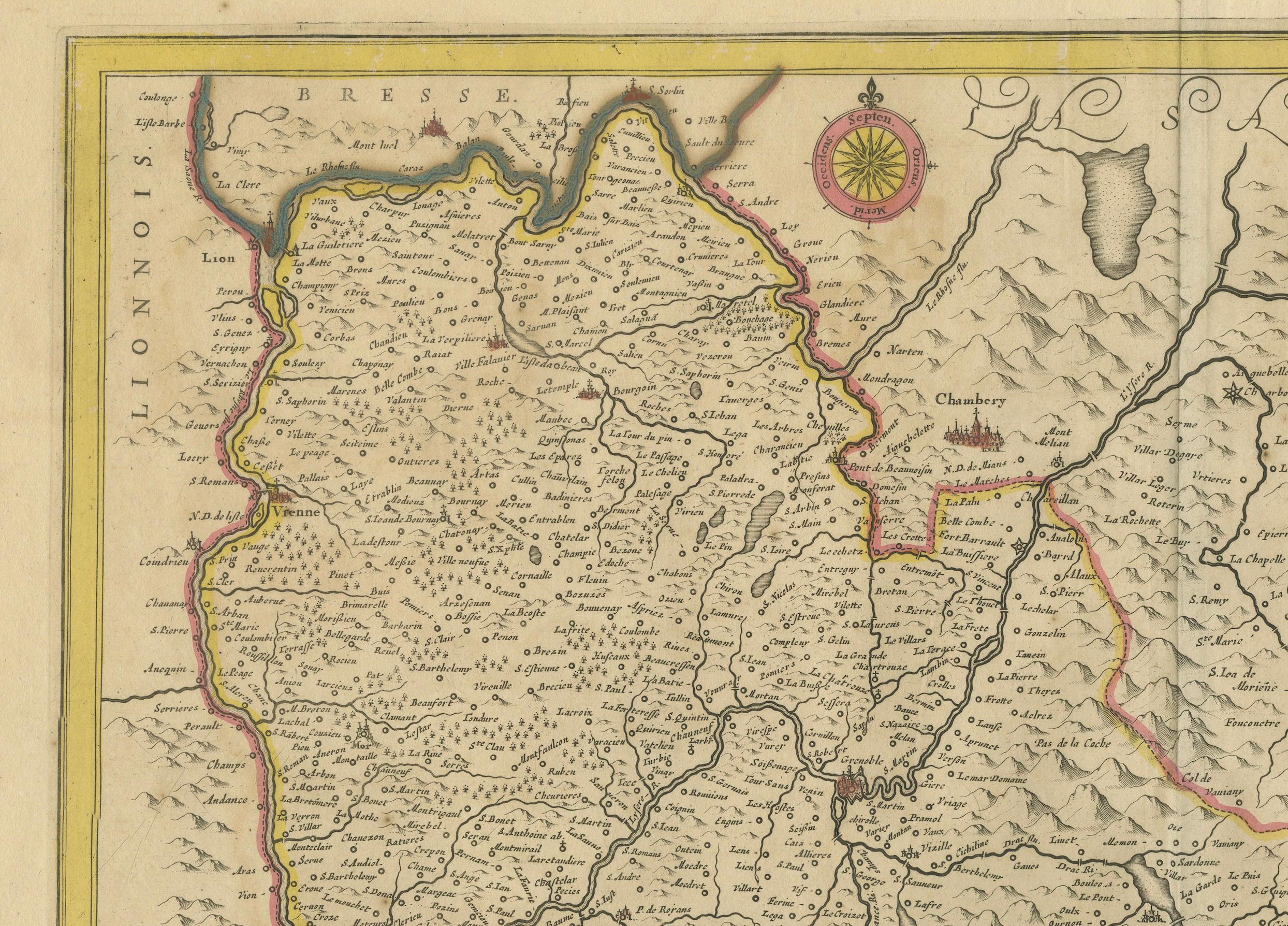
This captivating 17th-century map of Dauphiné, titled "Nova et Accurata Delphinatus Vulgo Dauphiné," is a masterpiece by the renowned Dutch cartographer Frederik De Wit, published after 1688. Featuring original hand-coloring, it meticulously depicts the Dauphiné region in southeastern France, with precise detailing of towns, rivers, and mountain ranges. The map is further enhanced by an ornate cartouche crowned with the coat of arms of Dauphiné, flanked by decorative elements that add a touch of elegance.
This map originates from De Wit’s celebrated composite atlases, known for combining plates from top Amsterdam mapmakers such as Hondius, Blaeu, and Visscher. These atlases were crafted for discerning collectors and scholars, blending artistic beauty with geographic precision. The inclusion of compass roses and detailed borderlines demonstrates the cartographer’s commitment to both aesthetics and functionality.
Frederik De Wit was a leading figure in Amsterdam's golden age of cartography, producing atlases and town plans that became highly sought after. His maps are known for their artistic flourishes and vibrant hand-applied colors, making them prized pieces for collectors of antique cartography.
Condition Report: The map is in good to very good condition, with light toning and minor age-related imperfections. Slight color offsetting may be present. Please review the image for detailed condition.
Framing and Matting Tips: To emphasize the map's historical significance, choose a classic frame in dark wood or gold leaf. Acid-free matting in cream or ivory tones will complement the map’s colors and protect it from environmental damage. Use UV-protective glass to prevent fading of the hand-coloring. Its balanced proportions and artistic details make it an excellent centerpiece for an office, library, or gallery wall.