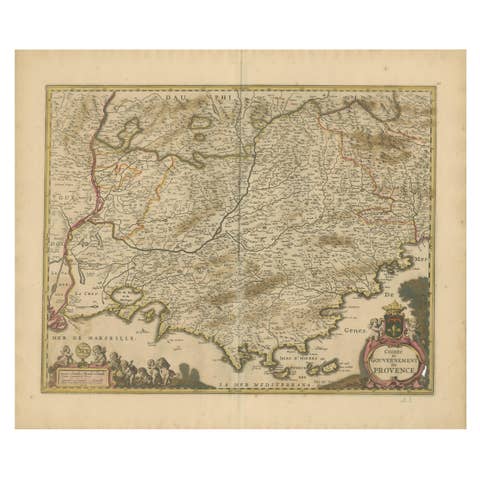
Picardy Map - Hand-Colored 17th-Century Engraving by Frederik De Wit c. 1688
€ 350
One of a kind: this is the sheet in the photographs. Ships from Langweer, the Netherlands.
Date
1688
Sheet size
52.9 × 62 cm (20.8 × 24.4 in)
Condition
Fair
Reference
BG-14046-10
Condition
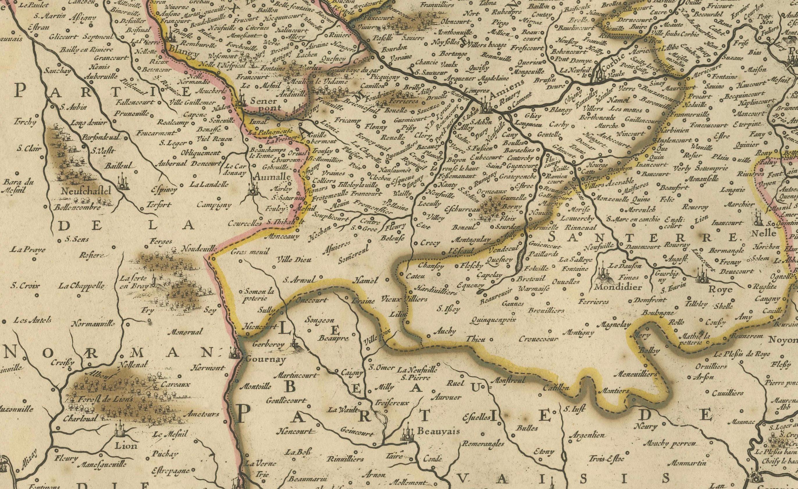
Repaired: Green color oxidation has weakened some areas, reinforced with archival tape on verso. Condition Report: Fair to good condition with vibrant hand-coloring. Minor foxing and faint toning. Green color oxidation has weakened some areas, reinforced with archival tape on verso. See images f
About this sheet
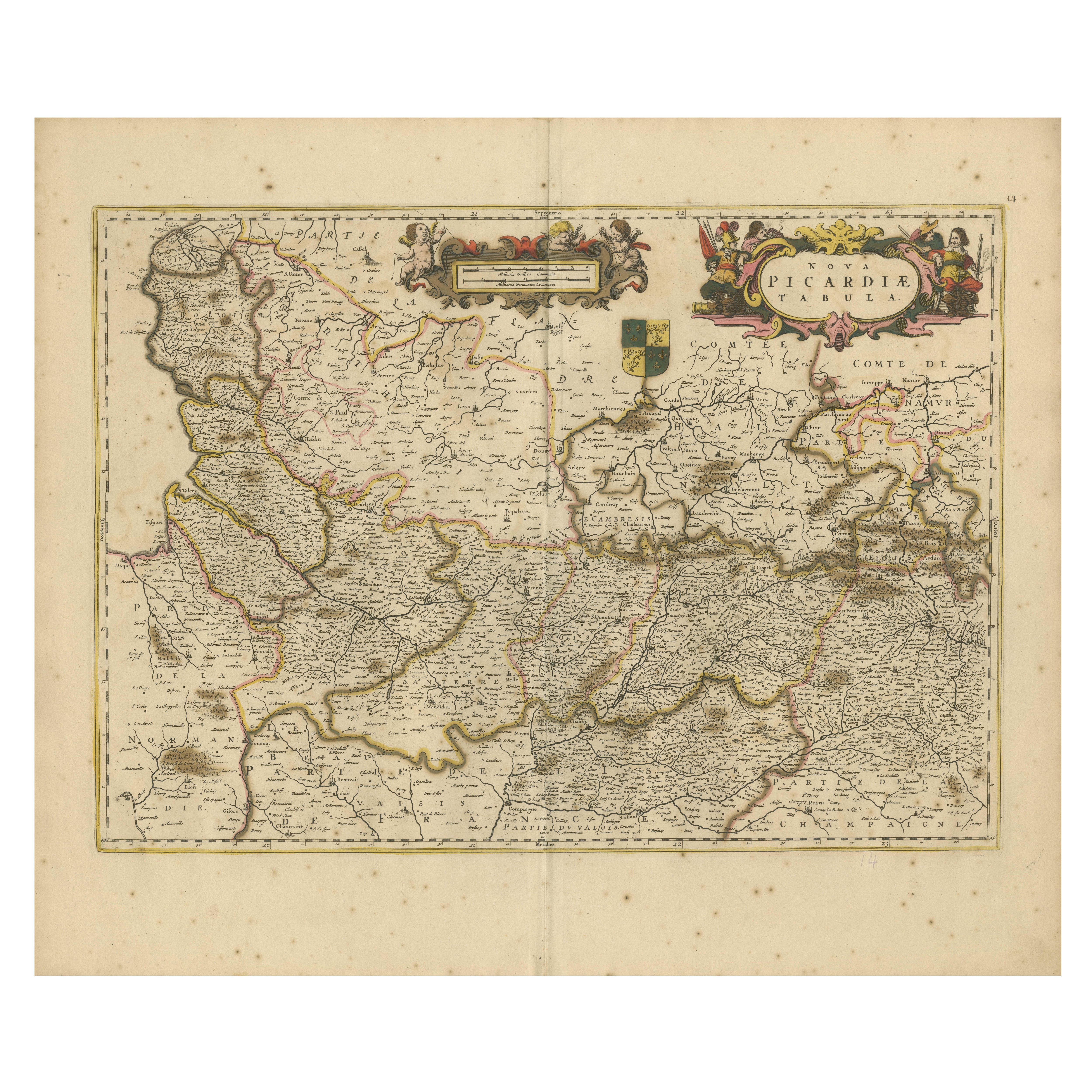
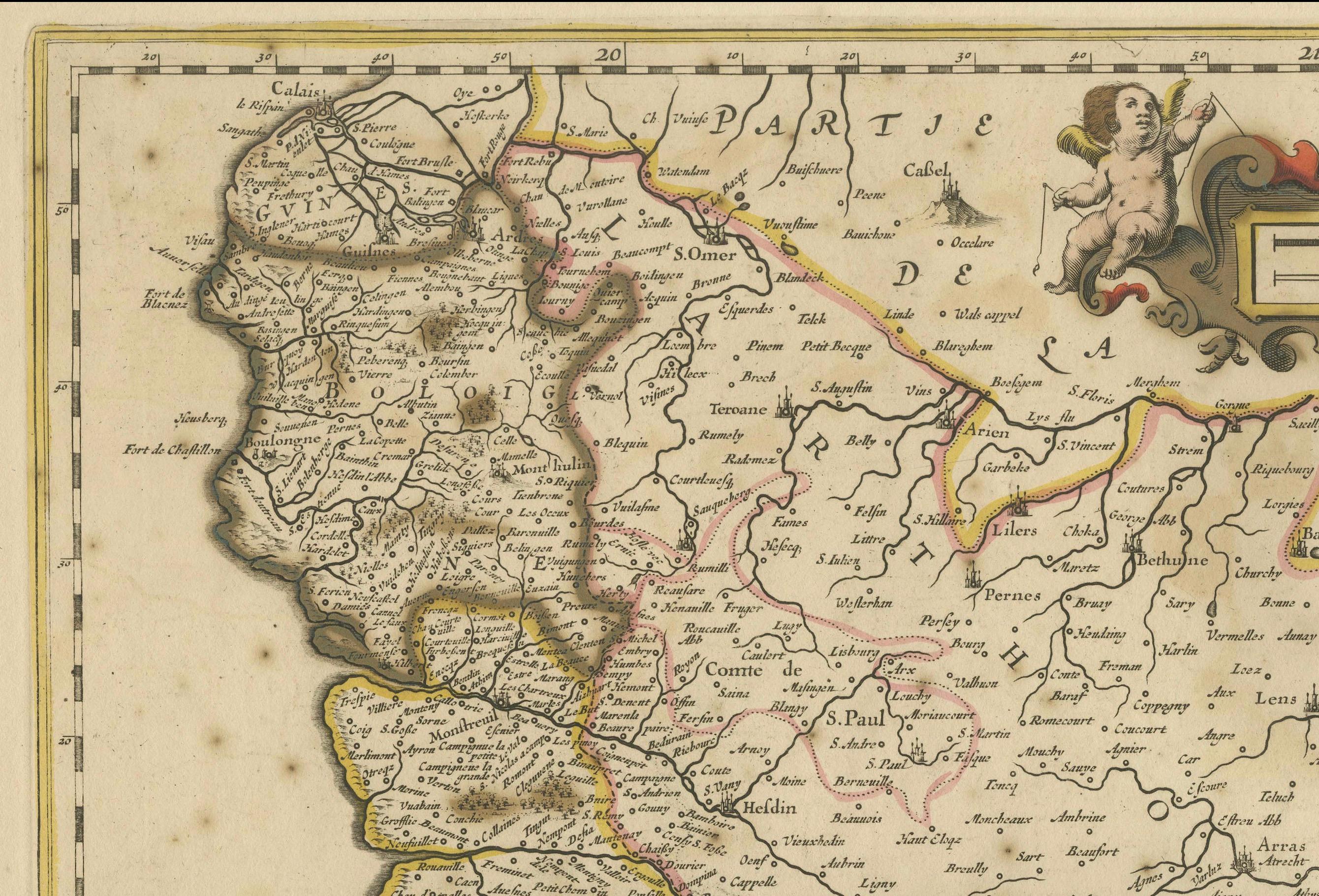
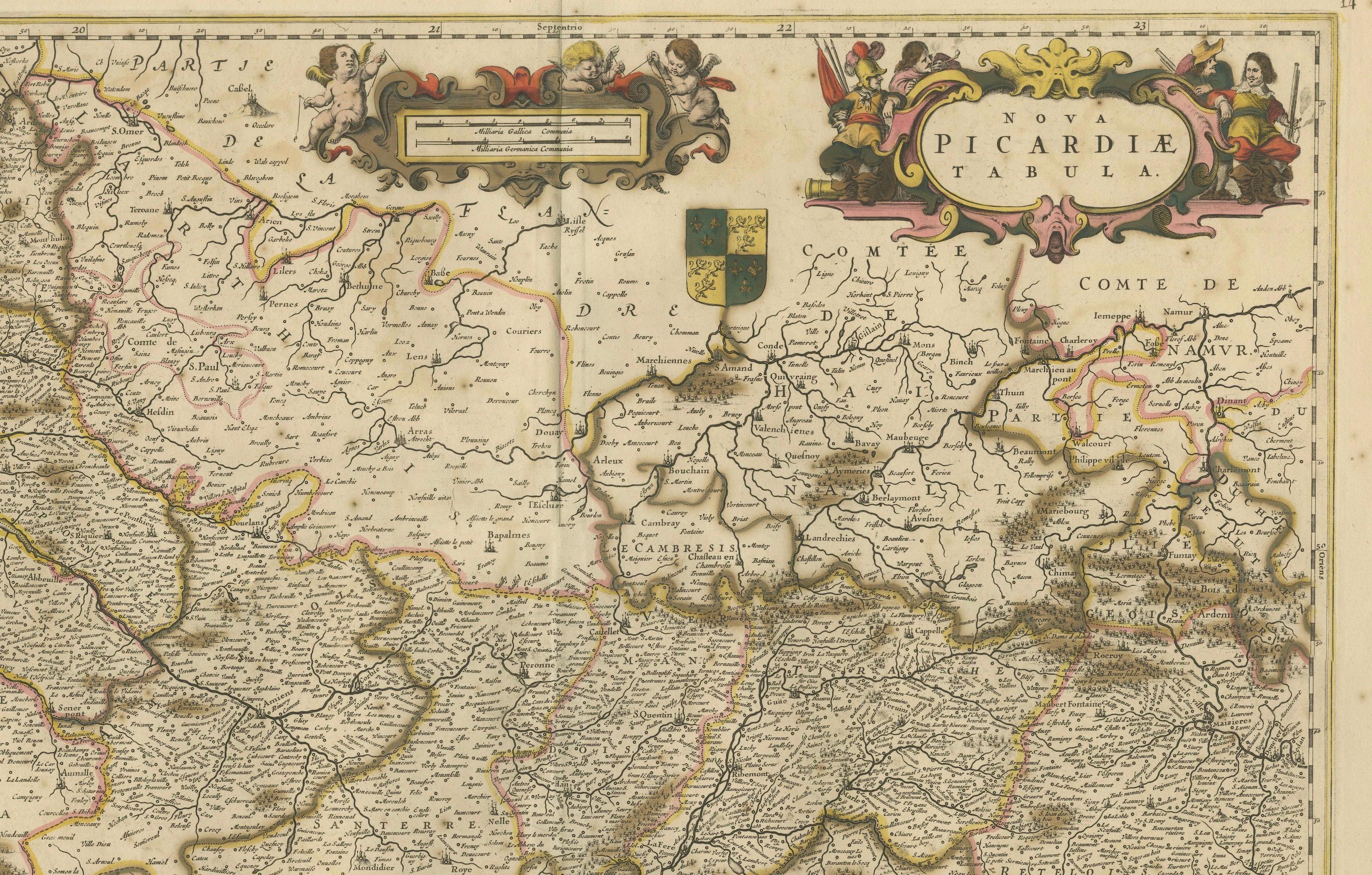
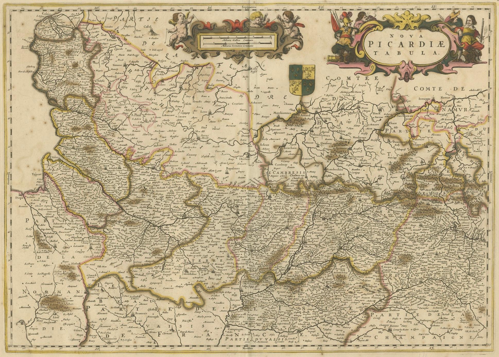
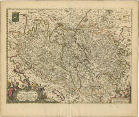
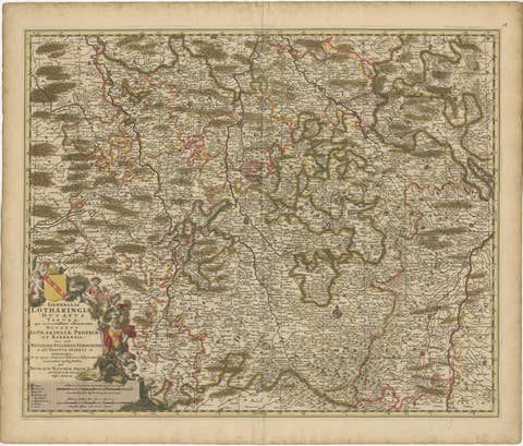
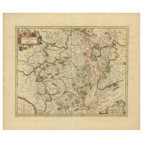
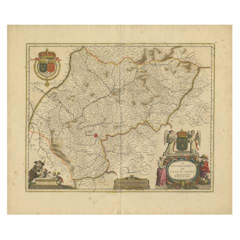
This beautifully detailed map, "Nova Picardiae Tabula," captures the Picardy region in northern France during the late 17th century. Published by Frederik De Wit around 1688, the map is a prime example of Dutch cartographic excellence. Featuring original hand-coloring, it meticulously illustrates the towns, rivers, forests, and borders of Picardy, a region known for its rich history and strategic importance.
The ornate cartouches at the top center and right of the map are stunning decorative elements. One cartouche includes the coat of arms of Picardy, while the other is adorned with allegorical figures and regal motifs, adding a sense of grandeur and artistry to this work. De Wit’s ability to blend geographic precision with artistic embellishments makes this map a compelling piece for both historical and aesthetic appreciation.
Frederik De Wit was one of the most prominent cartographers of his time, renowned for his maps that combined functionality with beauty. This map of Picardy is part of his celebrated composite atlases, reflecting the golden age of Dutch cartography. Its intricate details and hand-applied coloring make it an outstanding example of 17th-century craftsmanship.
Condition Report: Fair to good condition with vibrant hand-coloring. Minor foxing and faint toning. Green color oxidation has weakened some areas, reinforced with archival tape on verso. See images for details or request more.
Framing and Matting Tips: To showcase this map’s historical significance and decorative artistry, consider a classic gold-leaf or dark wood frame. Acid-free matting in neutral tones will protect and highlight the intricate details. For preservation, UV-protective glass is recommended to maintain the vibrancy of the original colors. This map is a perfect addition to a library, study, or gallery wall, offering a blend of history and elegance.