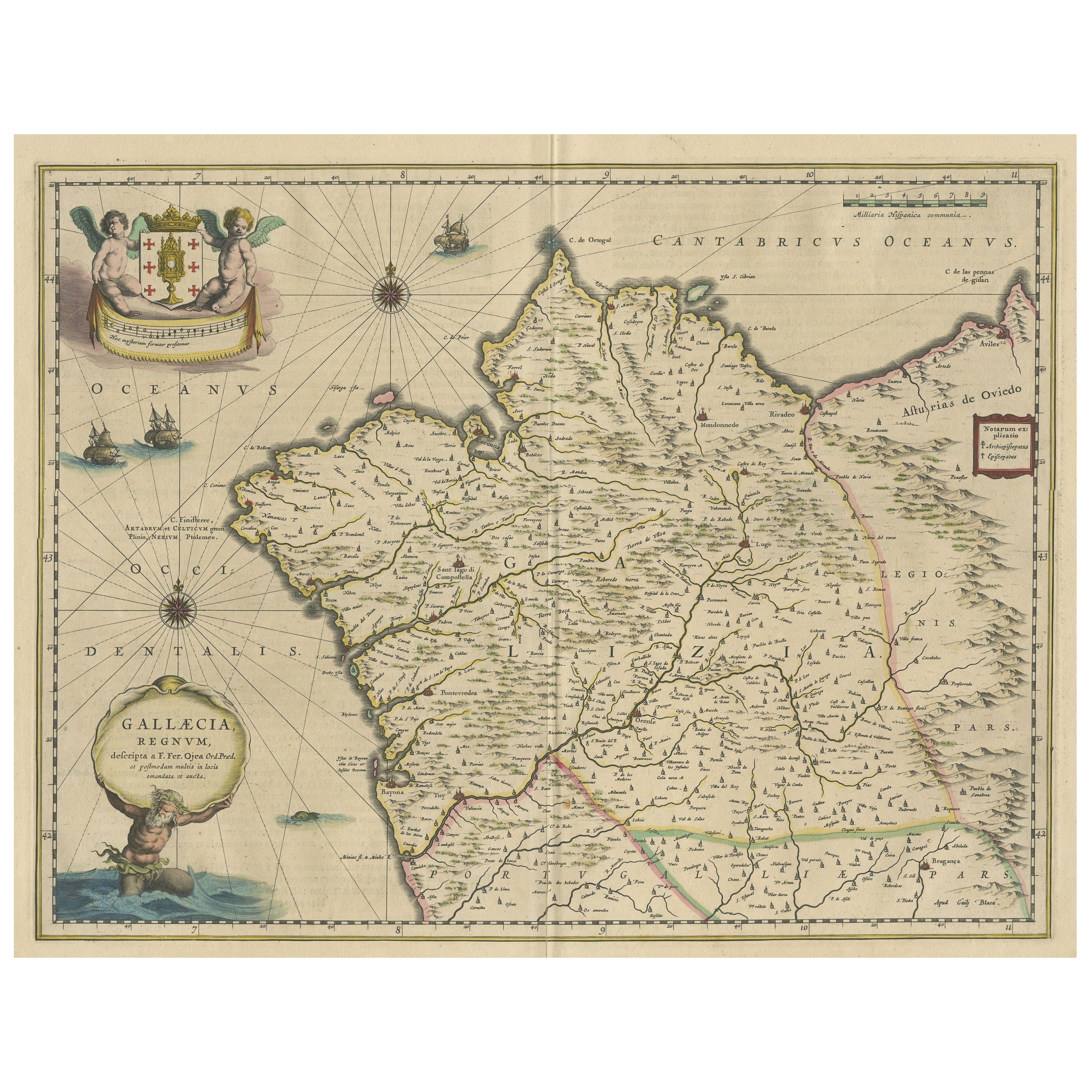

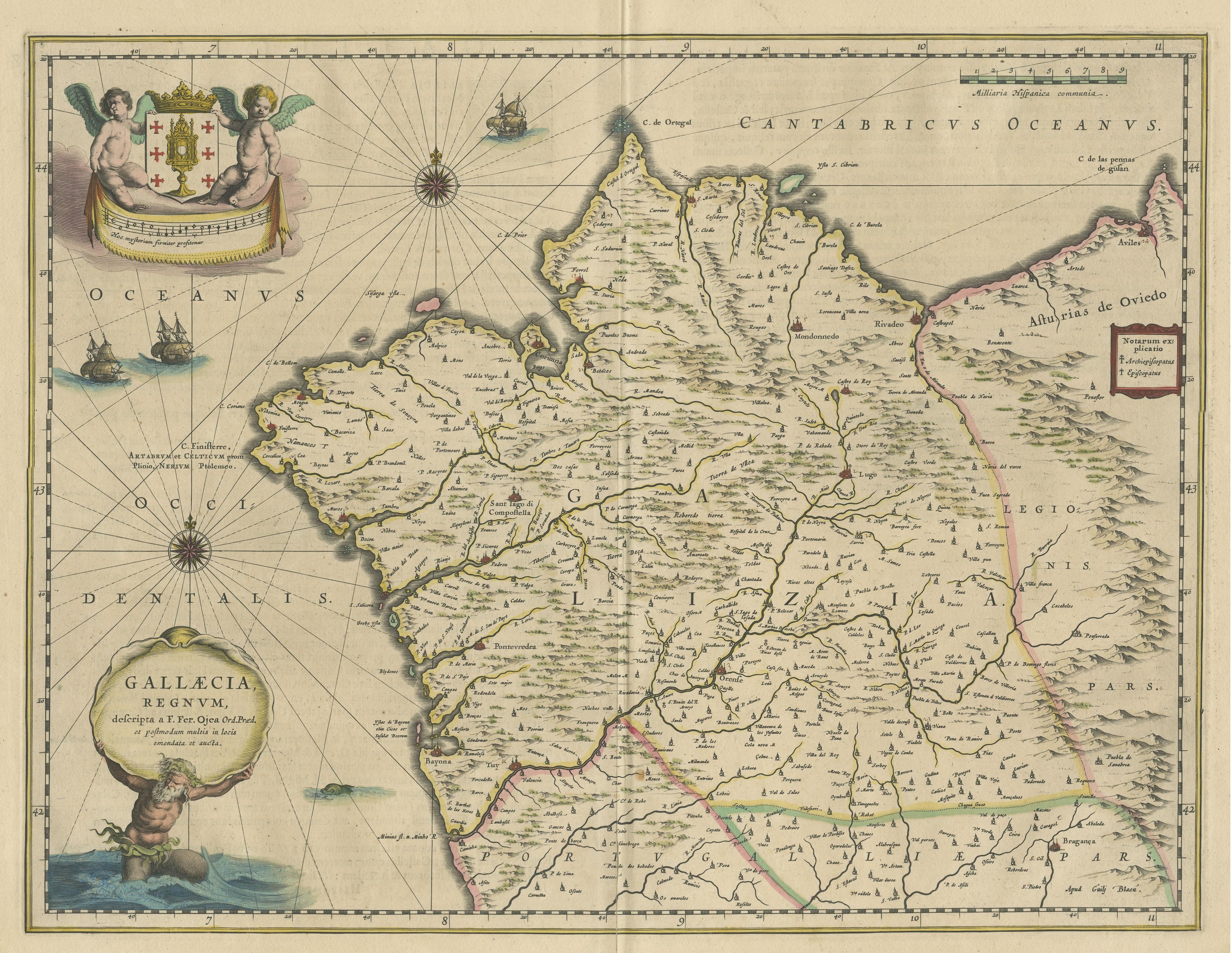
Antique Map of Gallaecia Regnum by W.J. Blaeu, Paper, Circa 1640
€ 520
Original antique · The actual sheet photographed · Certificate of authenticity on request · Sold unframed · Worldwide shipping from € 15 (rates)
Date
1640
Sheet size
49.6 × 58.2 cm (19.5 × 22.9 in)
Condition
Fair
Reference
BG-13430-4
What the condition grades mean
Excellent
Bright and clean, with no faults worth mentioning.
Very good
Only light signs of age, such as faint toning.
Good
Normal signs of age for a sheet of this period: toning, some foxing, small marks or neat old repairs.
Fair
Clear faults such as staining, tears or repairs, priced to match.
Every fault we see is written in the condition note, and the whole sheet is shown uncropped in the photos.
Condition
Repaired: Few defects in margins and repair on folding line, large split still visible. Original/contemporary hand coloring. Age-related toning, also shows some staining. Latin text on verso. Please review the images for further condition details.
About this sheet
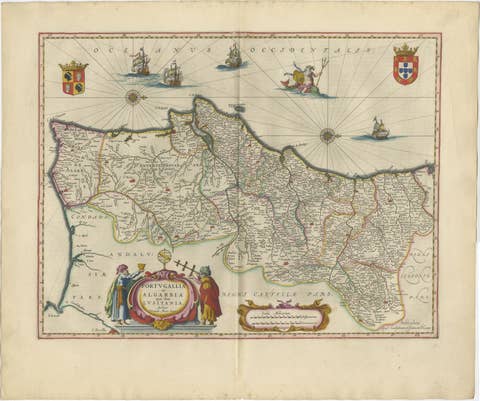
Antique map titled 'Gallaecia Regnum'. Original old map of the northwestern coast of Spain, extending from the Asturias de Oviedo region and Aviles in the Northeast to Bayona and the Portugese border on the South, centered on Santiago di Compostella. Major cities include Corunna, Mondonnedo, Rivadeo, Lugo, Oresn, Pontevedra, and Padron. Large decorative cartouche with coat of arms held aloft by 2 cherubs, Neptune carrying title cartouche, 3 sailing ships, one sea monster and two compass roses. Published by W.J. Blaeu, circa 1640.
Willem Janszoon Blaeu (1571-1638) was a prominent Dutch geographer and publisher. Born the son of a herring merchant, Blaeu chose not fish but mathematics and astronomy for his focus. He studied with the famous Danish astronomer Tycho Brahe, with whom he honed his instrument and globe making skills. Blaeu set up shop in Amsterdam, where he sold instruments and globes, published maps, and edited the works of intellectuals like Descartes and Hugo Grotius. In 1635, he released his atlas, Theatrum Orbis Terrarum, sive, Atlas novus.