
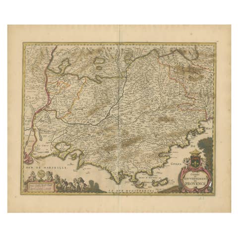
Stunning Hand-Colored Map of Languedoc in France by Frederik De Wit c. 1688
€ 640
One of a kind: this is the sheet in the photographs. Ships from Langweer, the Netherlands.
Date
1688
Sheet size
52.9 × 62 cm (20.8 × 24.4 in)
Condition
Good
Reference
BG-14046-4
Condition
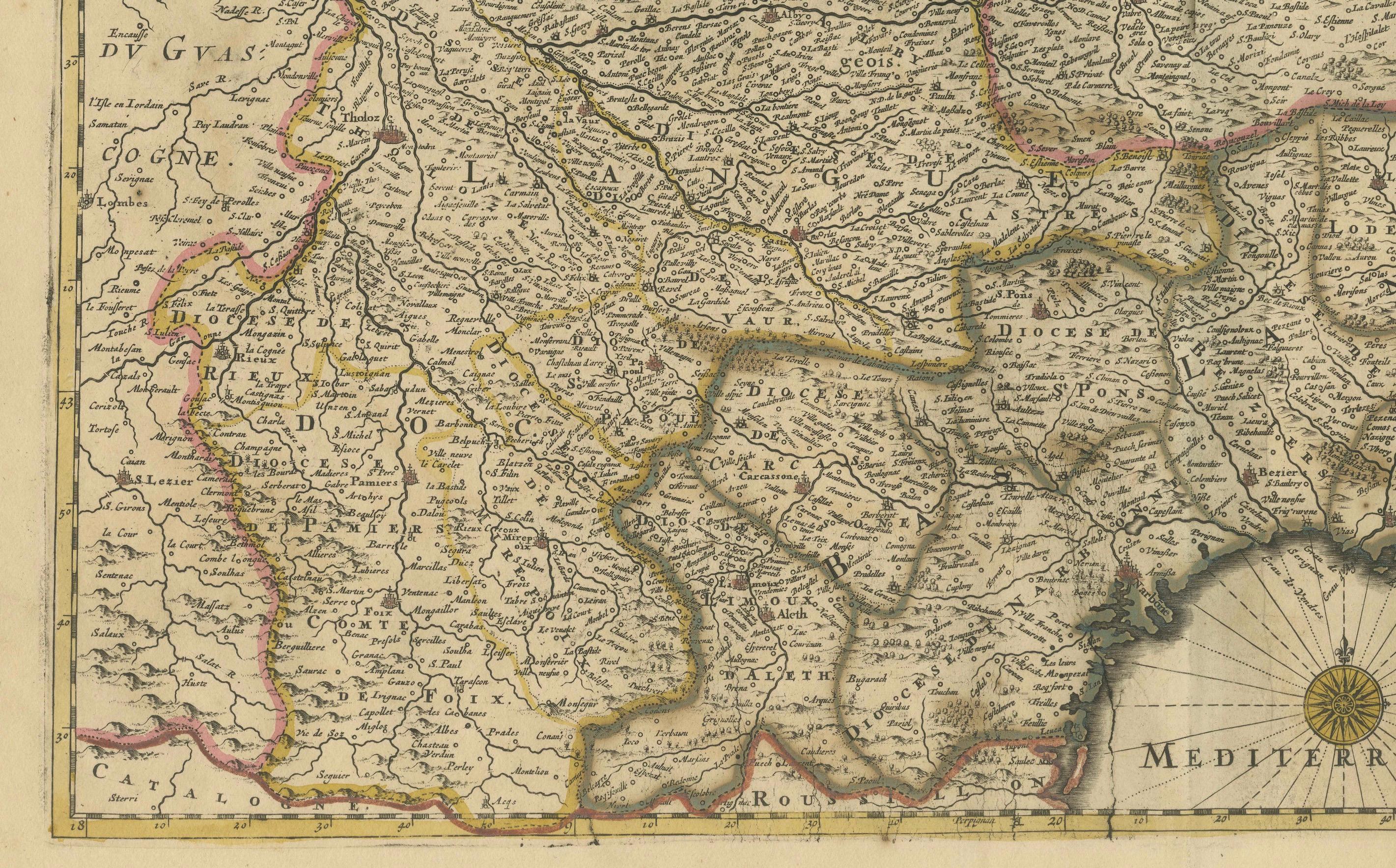
Condition Report: The engraving is in good to very good condition, with some offsetting or color bleeding visible. Minor age-related imperfections. Centrefold as issued. Please examine the image carefully for additional details.
About this sheet
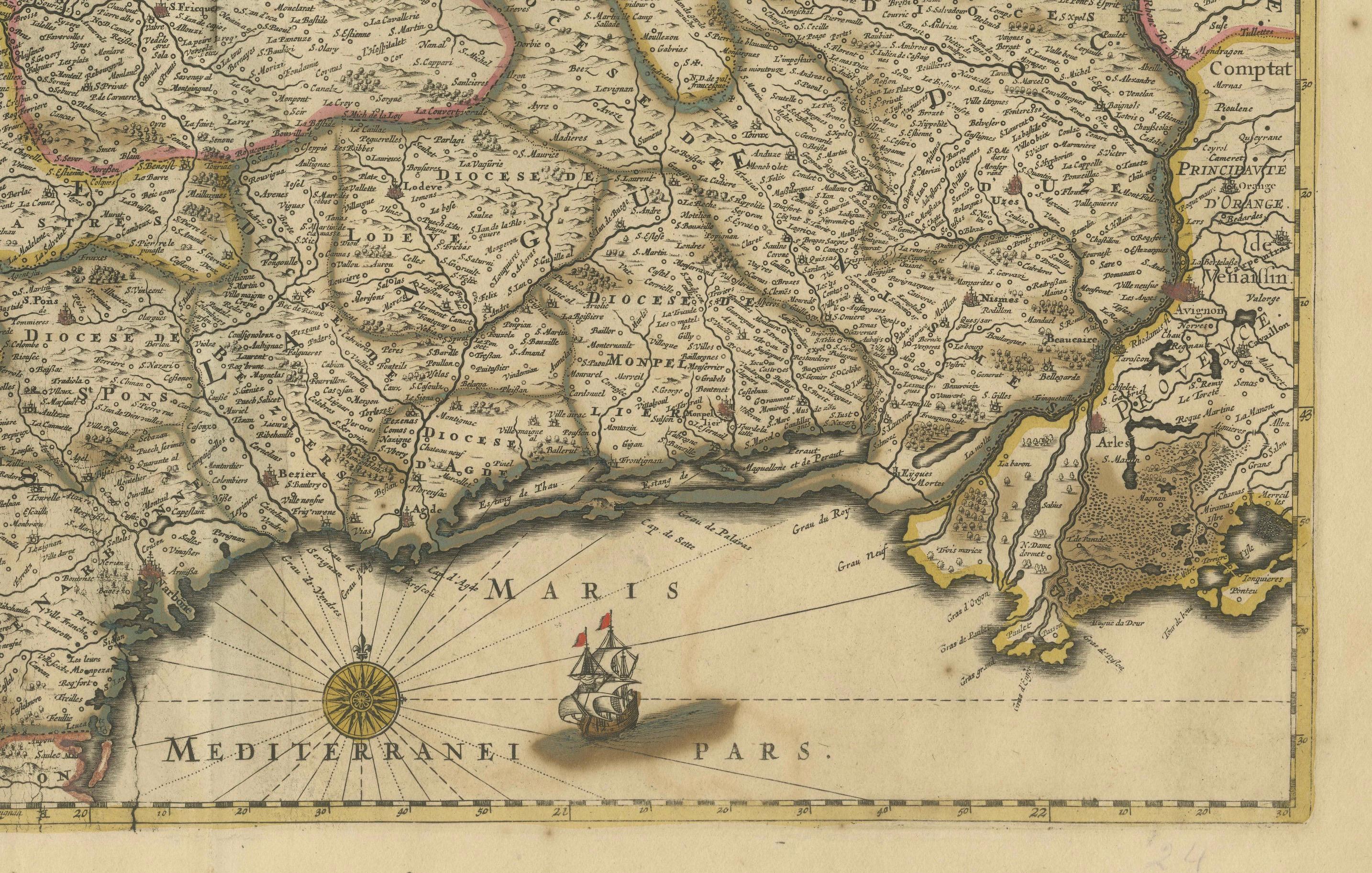
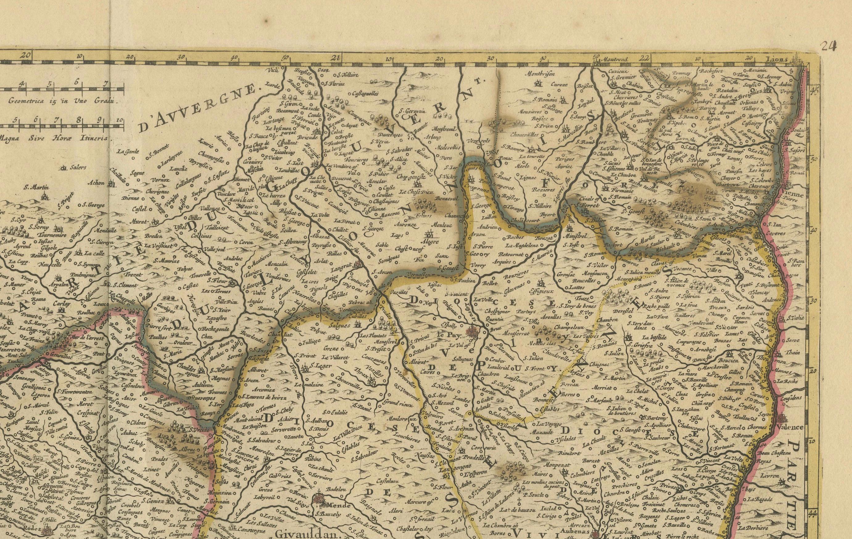
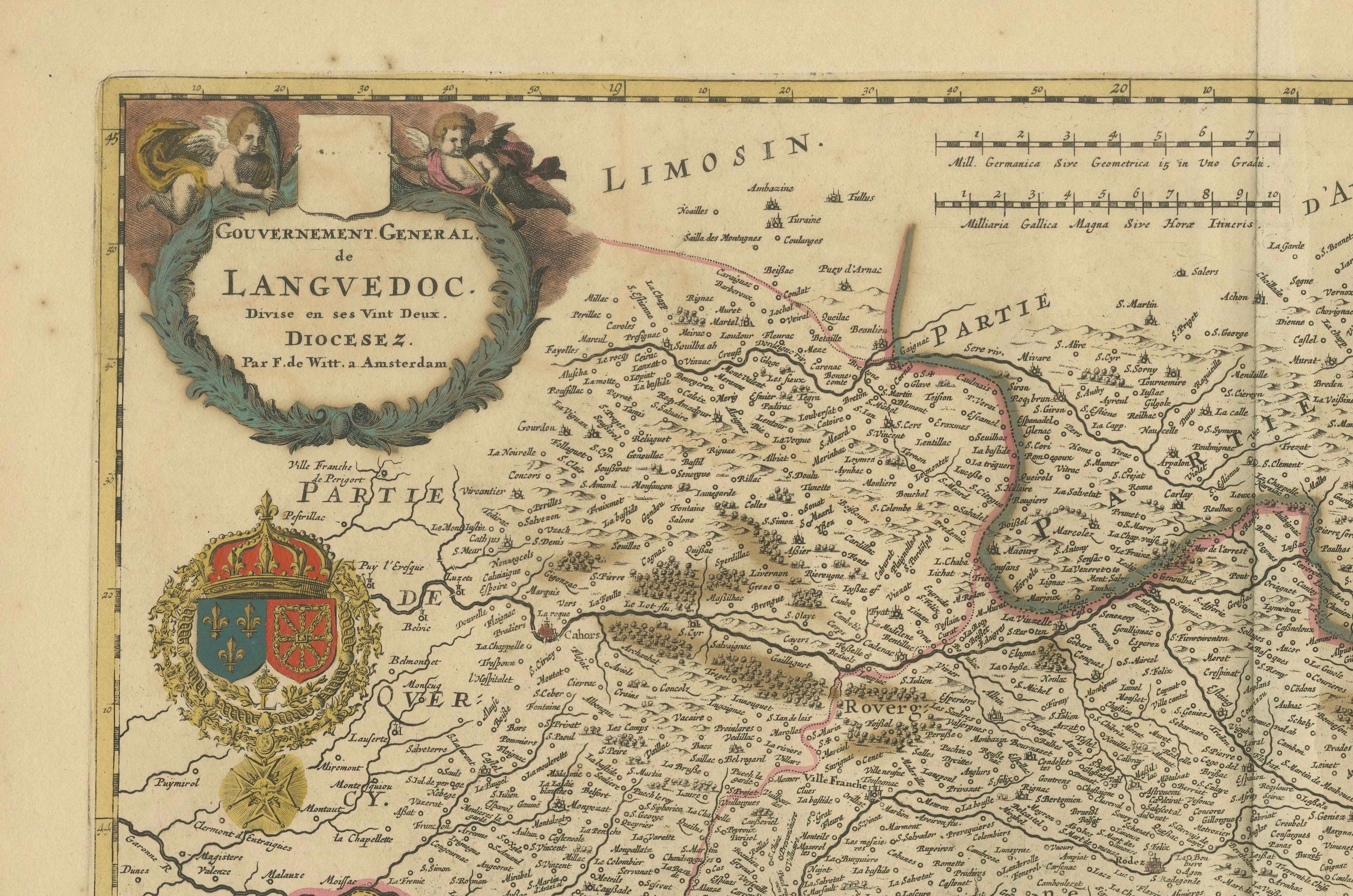
This elegant 17th-century map, "Gouvernement General de Languedoc," beautifully illustrates the Languedoc region in southern France. Created by Frederik De Wit and published around 1688, the map features original hand-coloring and exquisite detailing of towns, rivers, mountains, and coastal features along the Mediterranean Sea. The ornate cartouche in the top left corner, adorned with the region’s coat of arms and symbolic embellishments, adds a touch of artistry to this cartographic masterpiece.
De Wit’s map also includes a compass rose and a charming depiction of a sailing ship in the Mediterranean, emphasizing the region's historical maritime importance. This piece was part of De Wit’s renowned composite atlases, which combined maps from his own work and those of other esteemed Amsterdam mapmakers such as Hondius and Blaeu. These atlases were highly prized for their blend of geographic precision and decorative appeal, making them a staple for collectors of the era.
Frederik De Wit was a prominent figure in the golden age of Dutch cartography, celebrated for his town plans and atlases. His works remain sought after today for their historical significance and visual splendor.
Condition Report: The map is in very good condition with vibrant hand-coloring. Minor age-related imperfections, such as faint toning or small foxing spots, are present, due to age and handling. Please examine the image for specific details.
Framing and Matting Tips: This map’s decorative cartouche and Mediterranean coastal elements are perfect for display in a sophisticated frame. Opt for a dark wood or gilded frame to complement the map's rich colors. Acid-free matting in a neutral tone will protect and enhance its presentation. For added preservation, use UV-protective glass to maintain the vibrancy of the original hand-coloring. Display it in a study, library, or living room for a timeless and elegant touch.