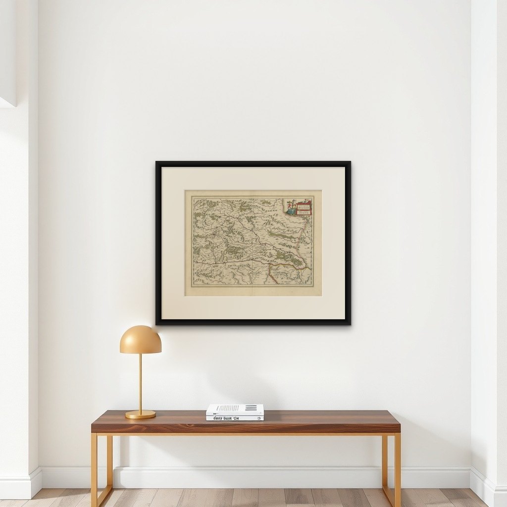
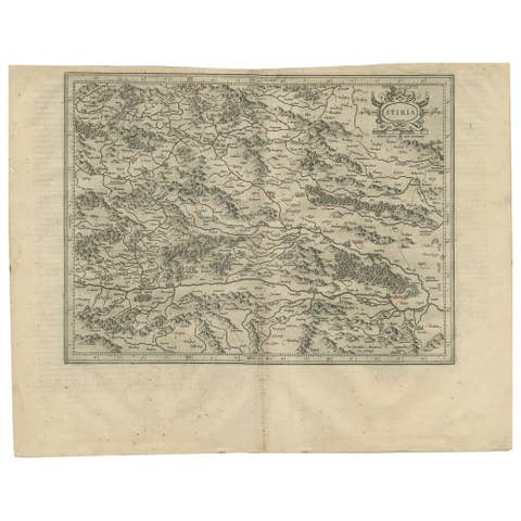
Map of Styria by William Blaeu, 1645: A Masterpiece of 17th-Century Cartography
€ 590
Original antique · The actual sheet photographed · Certificate of authenticity on request · Sold unframed · Worldwide shipping from € 15 (rates)
Date
1645
Sheet size
47 × 58.5 cm (18.5 × 23.0 in)
Condition
Good
Reference
BG-13664-3
What the condition grades mean
Excellent
Bright and clean, with no faults worth mentioning.
Very good
Only light signs of age, such as faint toning.
Good
Normal signs of age for a sheet of this period: toning, some foxing, small marks or neat old repairs.
Fair
Clear faults such as staining, tears or repairs, priced to match.
Every fault we see is written in the condition note, and the whole sheet is shown uncropped in the photos.
Condition
This map of Styria is in excellent condition with clean paper, wide margins, vibrant hand-coloring, and crisp printing. It shows no tears, stains, or creases, reflecting careful preservation and enhancing its historical and aesthetic value.
About this sheet
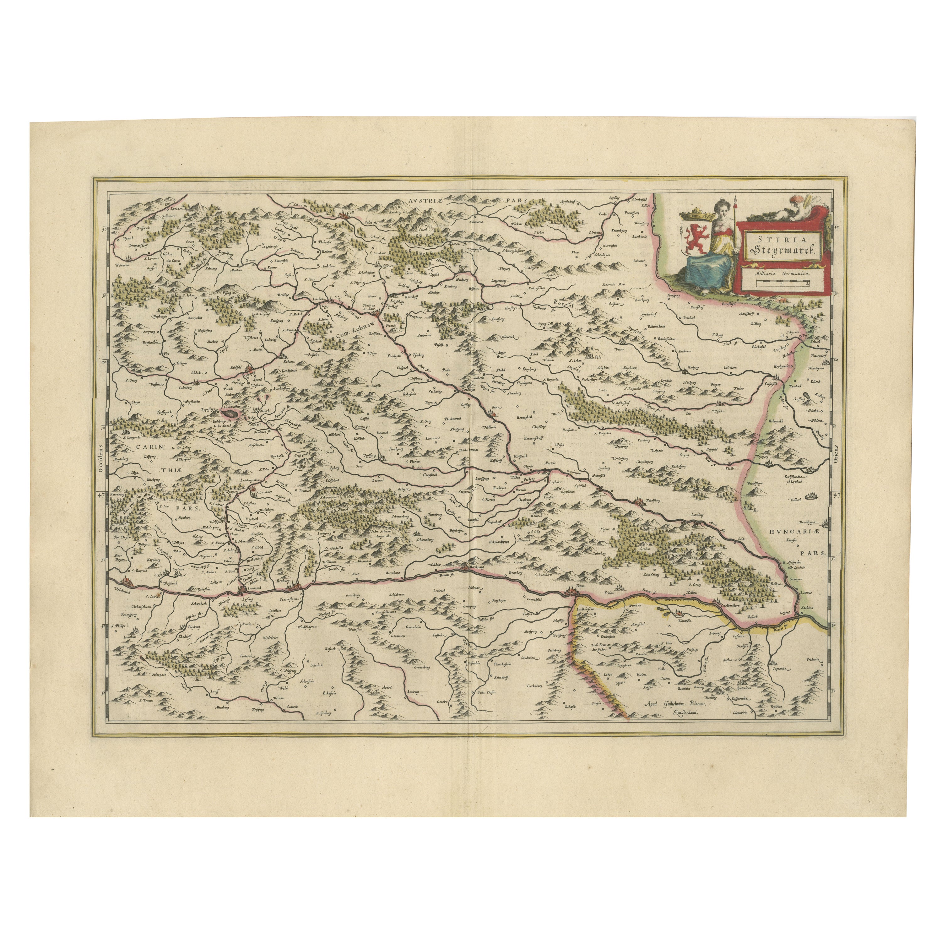
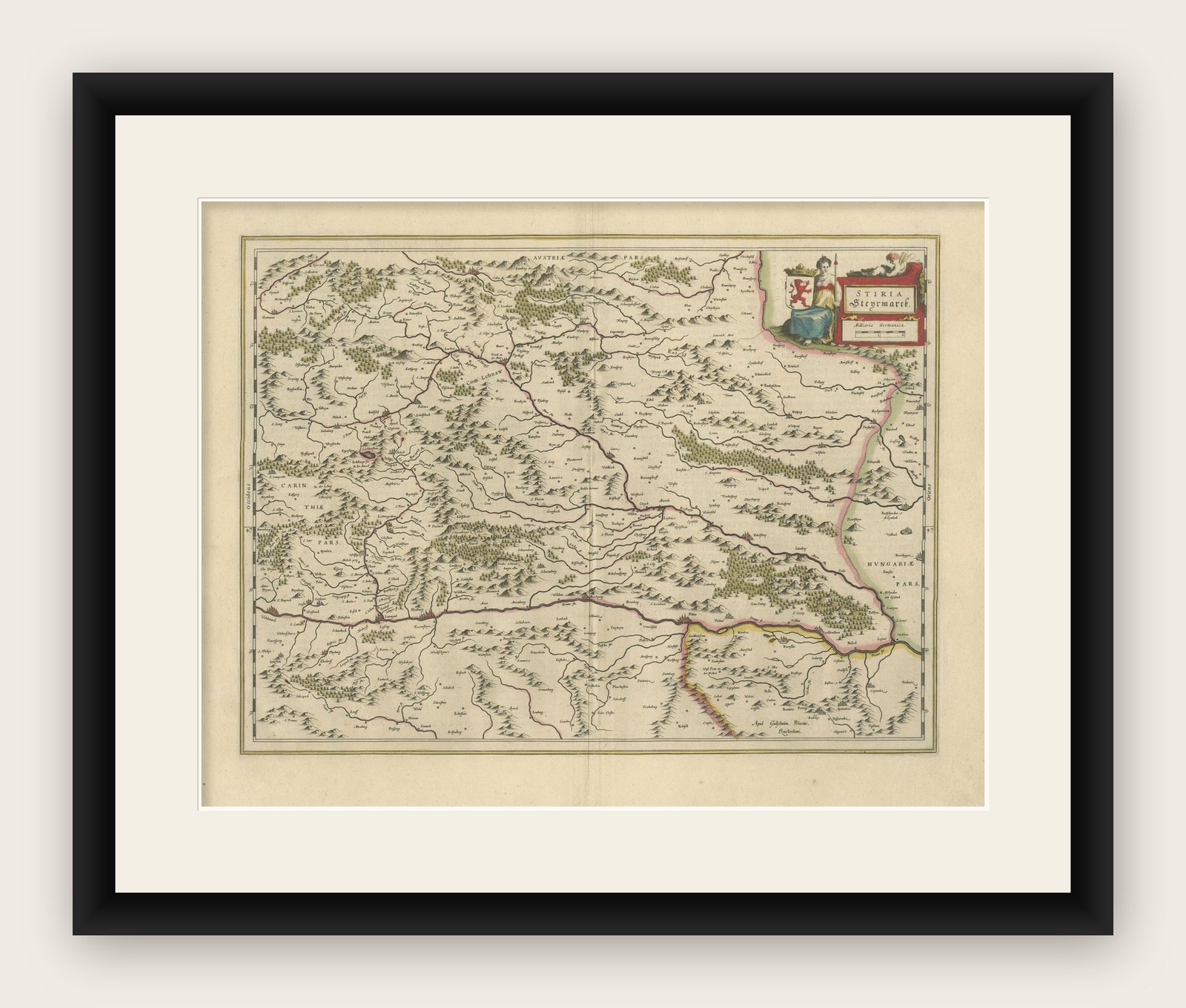
This 1645 map, created by Willem Janszoon Blaeu, represents Styria (Steyrmark), a historical region in present-day Austria, located in the Alpine regions. Blaeu, one of the most significant cartographers of the Golden Age of Dutch mapmaking, produced the map with the precision and artistry that define his works.
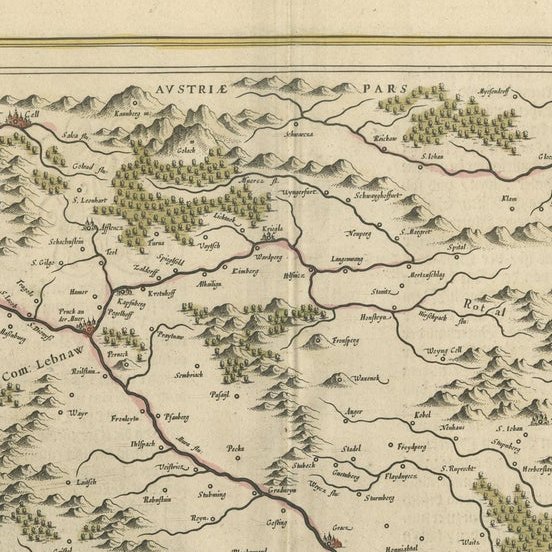
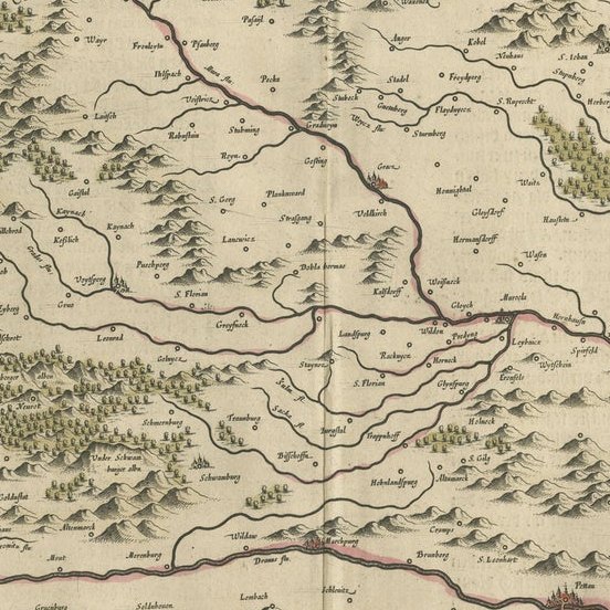
Map Features: 1. Topography and Geography: The map clearly depicts the mountainous terrain of Styria, including rivers, forests, and settlements. 2. Decorative Elements: The upper-right corner features a title cartouche adorned with a seated female figure holding a coat of arms, a hallmark of Blaeu's decorative style. 3. Borders: Neighboring regions such as Carinthia (Carintia) to the west and Hungary to the east are marked and delineated.
Historical Context: Willem Blaeu (1571–1638) founded his map-publishing business in Amsterdam in 1599, capitalizing on the city's growing wealth and global trade. His maps became renowned for their accuracy, craftsmanship, and decorative elements.
After Willem’s death, his son Joan Blaeu continued the business and expanded its reach. Joan's Atlas Maior, published in 1662, remains one of the most important cartographic works ever created. In addition to the Atlas Maior, the Toonneel der Steden (1649) showcased maps of fortification cities across the Netherlands.
This map of Styria reflects the Blaeu family's lasting contribution to cartography, combining geographical knowledge with artistic beauty.