

Maps & PrintsBartele Gallery · Langweer
Home / Antique Maps / Sea Charts

Sea Charts · 17th century

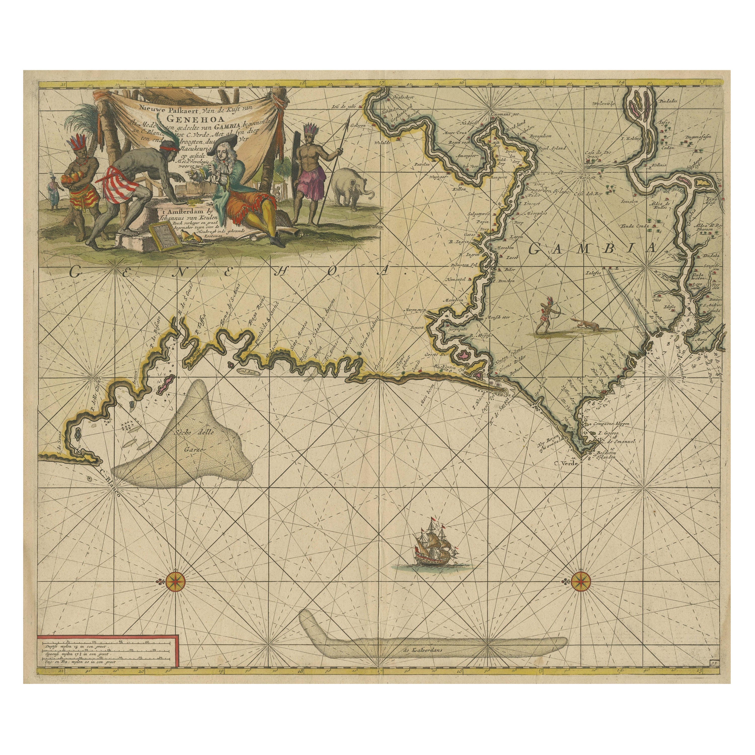

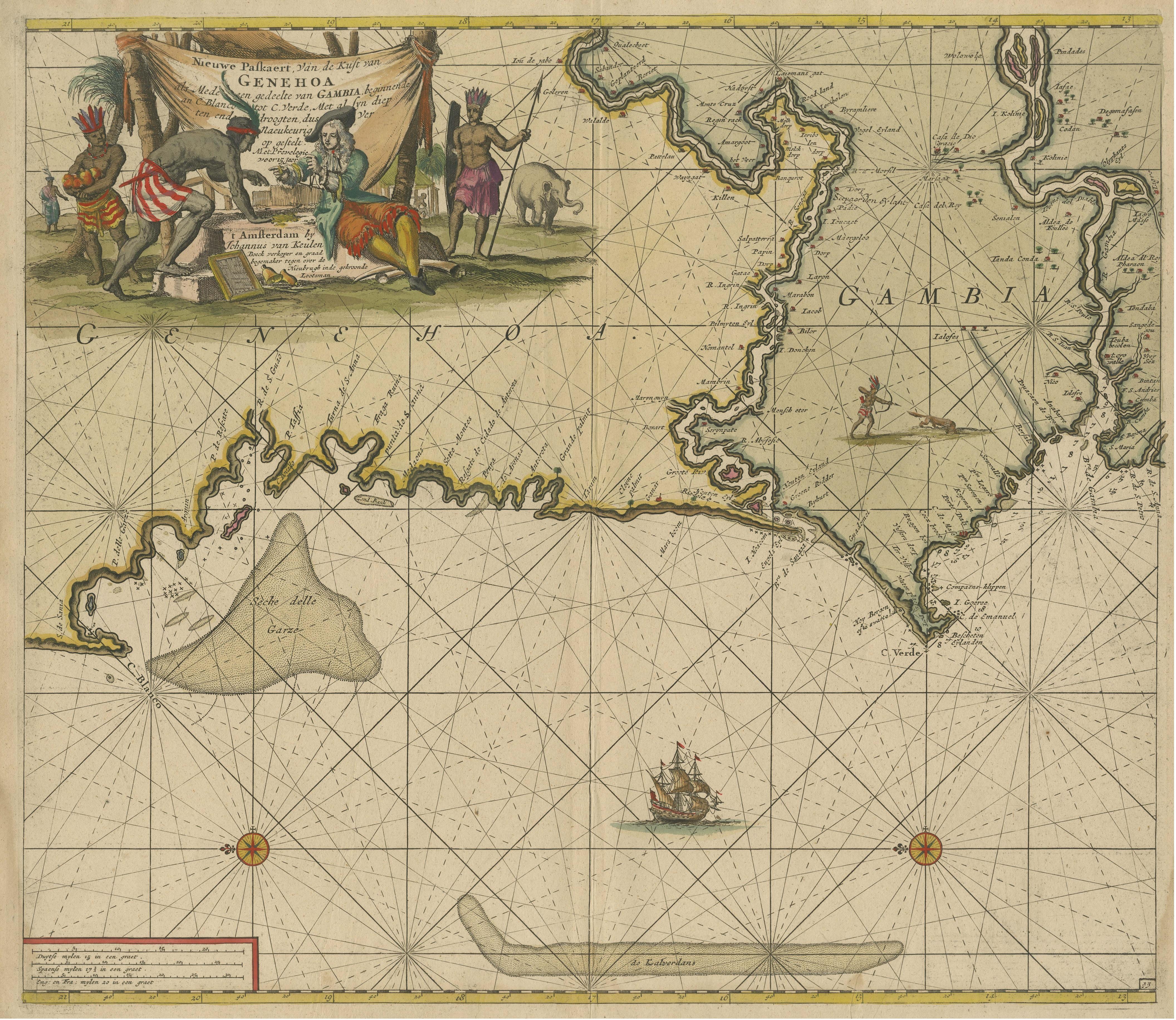
Orginal Antique Sea Chart of the Western Coast of Africa, circa 1697

€ 720

One of a kind: this is the sheet in the photographs. Ships from Langweer, the Netherlands.

Date
1697
Sheet size
54 × 61 cm (21.3 × 24.0 in)
Condition
Fair
Reference
BG-13529

Condition

Additions or alterations made to the original: Fully backed with old paper (possibly contemporary). Age-related toning. Fully backed with old paper (possibly contemporary), some waterstains in margins, a few tiny pinholes. Blank verso. Please study image carefully.
About this sheet

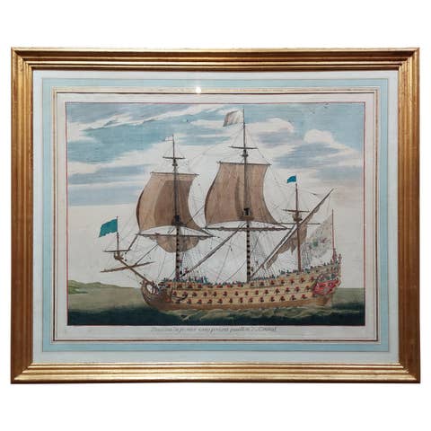
Antique map titled 'Nieuwe Paskaert van de Kust van Genehoa (..)'. This attractive sea chart covers the western coast of Africa from Cape Blanco (Ras Nouadhibou) to Cape Verde (Dakar) and beyond. The chart depicts the interior course of both the Gambia and Casamance rivers and identifies banks, shoals, and soundings. North is oriented to the left. Decorated by a sailing ship, two compass roses, and a large cartouche featuring trade between a European merchant and a native. Published by J. Van Keulen, circa 1697.

Johannes van Keulen (1654, Deventer - 1715, Amsterdam) was a 17th-century Dutch cartographer. He published the influential nautical atlas the Zee-Atlas and the pilot guide Zee-Fakkel (meaning Sea-Torch in English).

More from Sea Charts

Ask about this sheet

Orginal Antique Sea Chart of the Western Coast of Africa, circa 1697
1697 · Ref. BG-13529 · € 720
We reply by email, usually within one working day.