Decorative Antique Map of Austria – Frederick de Wit, Amsterdam c.1690
€ 920
Original antique · The actual sheet photographed · Certificate of authenticity on request · Sold unframed · Worldwide shipping from € 15 (rates)
Date
1690
Mapmaker / artist
Frederick de Wit, Amsterdam, c.1670
Technique
Engraved
Sheet size
52.8 × 63.6 cm (20.8 × 25.0 in)
Condition
Good
Reference
BG-09167
What the condition grades mean
Excellent
Bright and clean, with no faults worth mentioning.
Very good
Only light signs of age, such as faint toning.
Good
Normal signs of age for a sheet of this period: toning, some foxing, small marks or neat old repairs.
Fair
Clear faults such as staining, tears or repairs, priced to match.
Every fault we see is written in the condition note, and the whole sheet is shown uncropped in the photos.
Condition
Condition report: Good condition with a central fold, as issued. Light toning and minor handling marks in the margins, not affecting the image. Strong impression with clean paper. Plate mark visible.
About this sheet
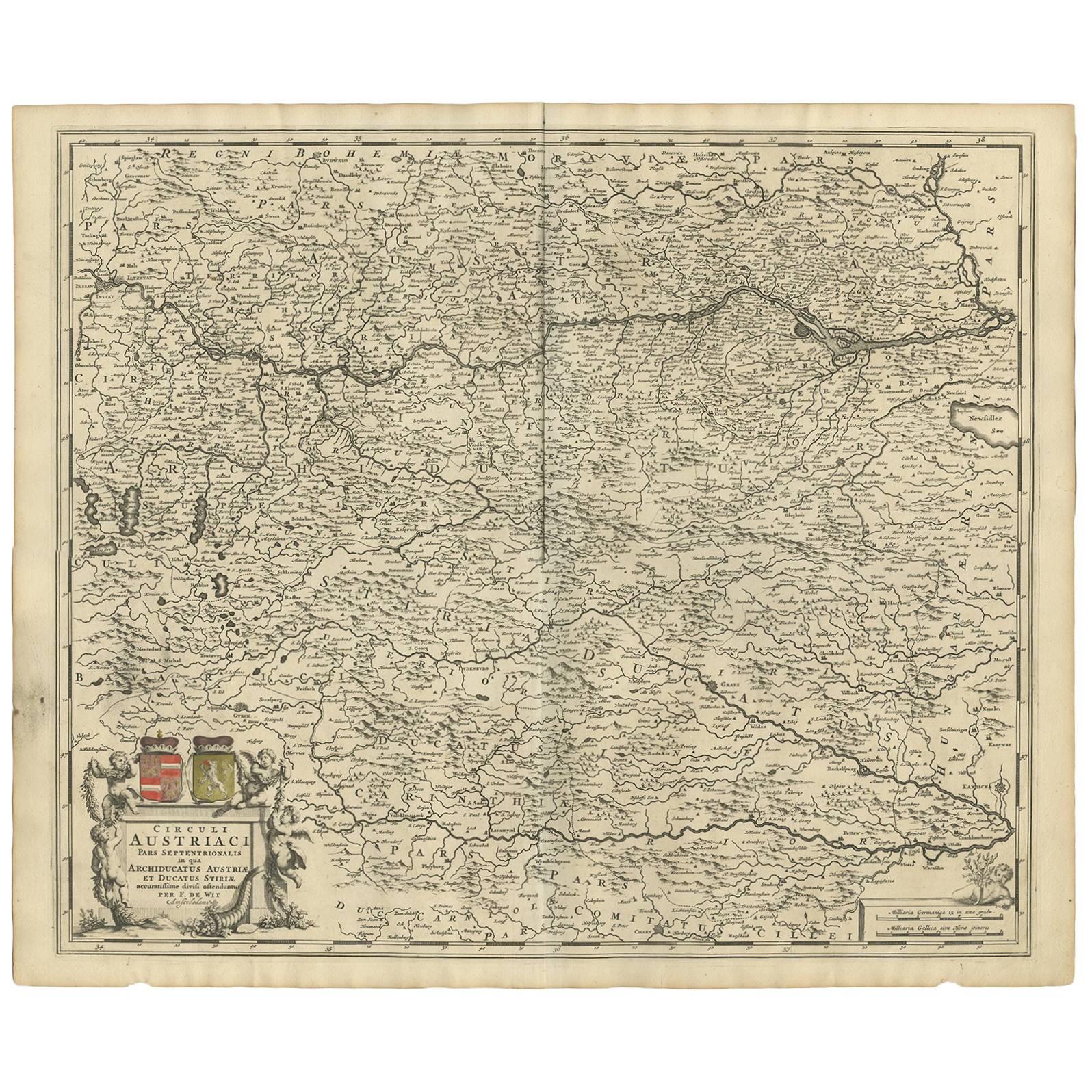
Antique Map of Austria – “Circuli Austriaci pars Septentrionalis” by F. de Wit, c.1670
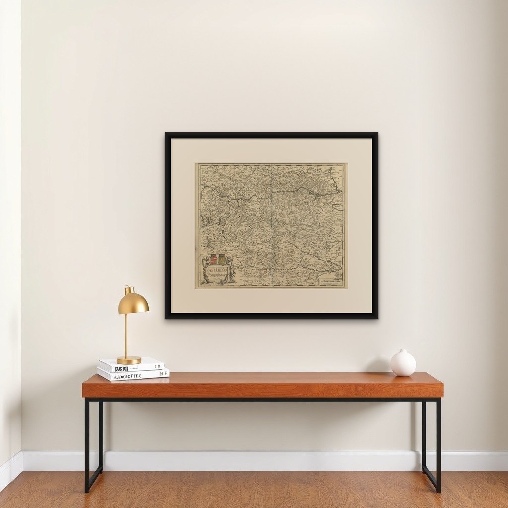
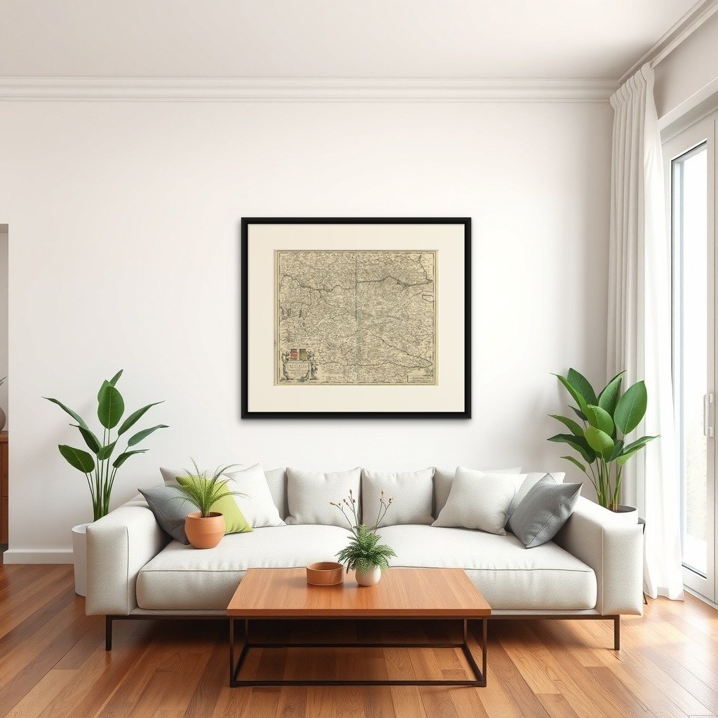
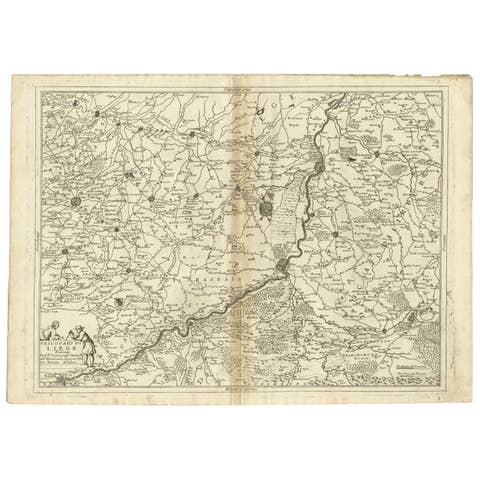
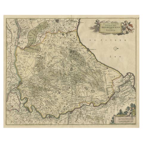
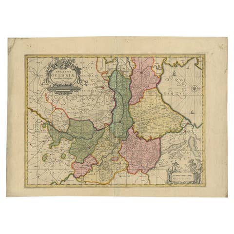
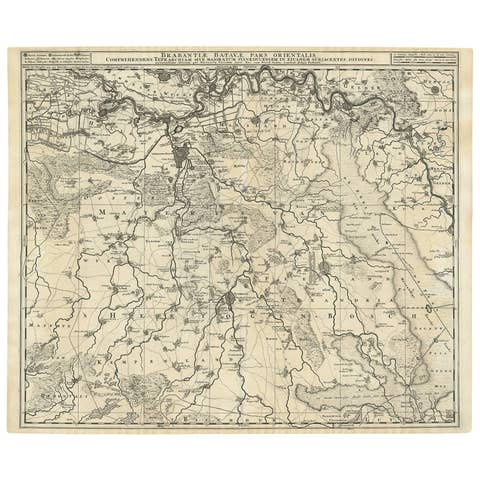
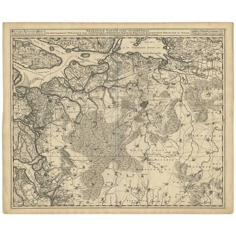
This finely engraved map, titled “Circuli Austriaci pars Septentrionalis in qua Archiducatus Austriae et Ducatus Styriae”, was published by Frederick de Wit (1629–1706), one of the most prominent Dutch mapmakers of the 17th century. It presents a detailed depiction of northern Austria, extending into neighboring territories including parts of Bohemia, Moravia, and Hungary.
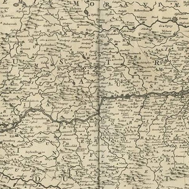
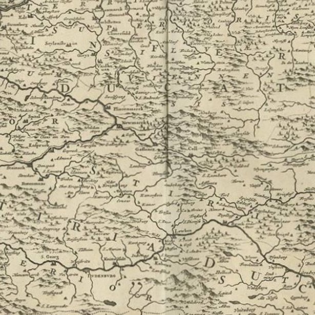
The map is rich with intricate details of rivers, mountain ranges, forests, towns, and fortresses, rendered with the precision that characterizes de Wit’s work. Place names are densely inscribed across the sheet, offering a valuable insight into the geography and settlement patterns of the Austrian Habsburg lands during the late 17th century.
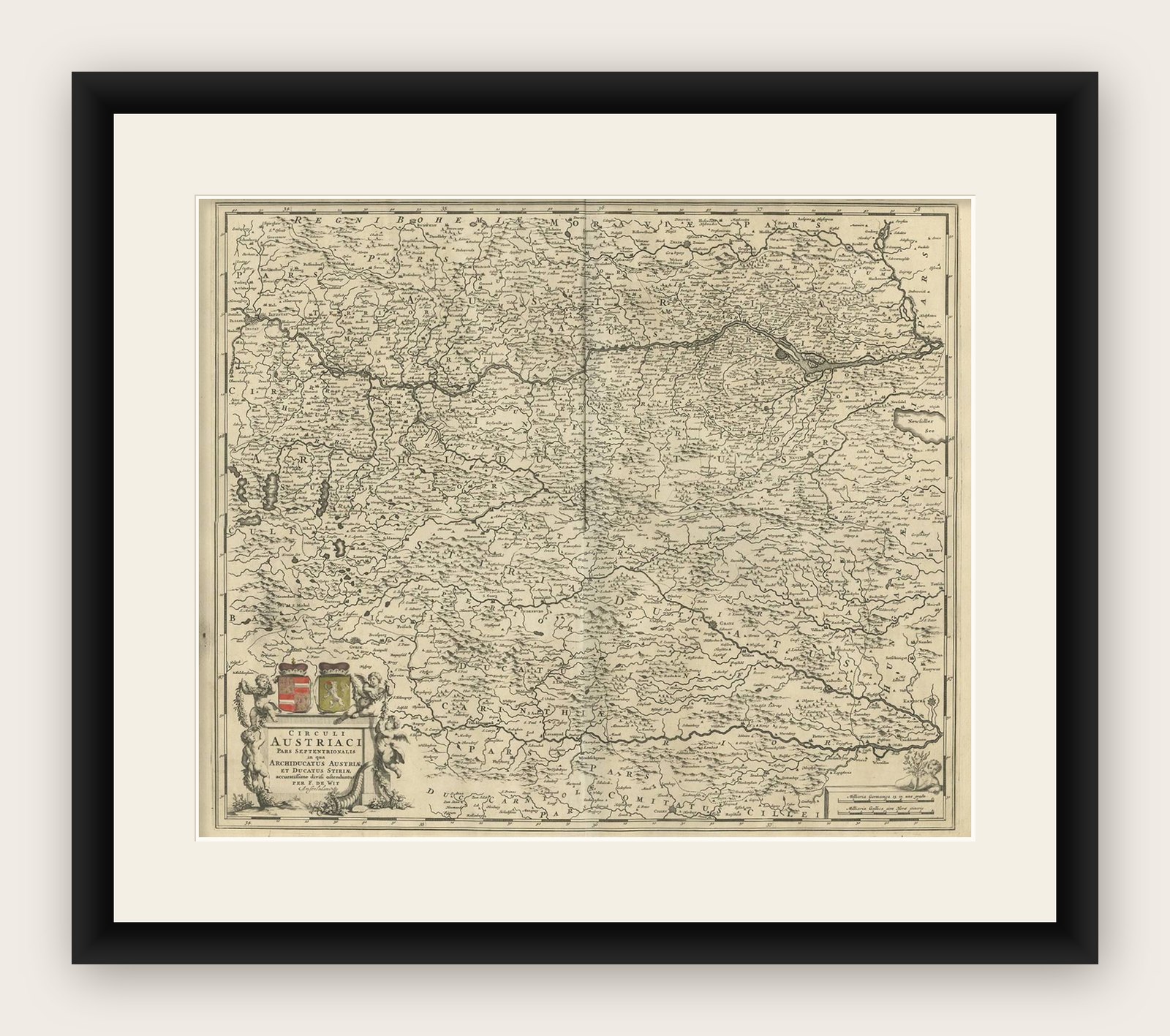
In the lower left corner, the title cartouche is elegantly framed by Baroque ornamentation, with two coats of arms prominently displayed – symbols of Austrian noble authority. The map is both functional and decorative, combining geographical accuracy with artistic embellishment.
De Wit was a leading Amsterdam cartographer whose maps were highly sought after for their clarity and beauty. His atlas publications rivaled those of Blaeu and Janssonius, cementing his position as a key figure in the Golden Age of Dutch cartography.
Collectors will appreciate this map for its historical importance, decorative appeal, and association with the prestigious Amsterdam publishing tradition. It stands as a fine example of 17th-century cartographic artistry and the political-geographical concerns of the Habsburg dominions.
Condition report: Good condition with a central fold, as issued. Light toning and minor handling marks in the margins, not affecting the image. Strong impression with clean paper. Plate mark visible.
Framing tips: A dark wooden frame with gilt inner border would emphasize the Baroque cartouche, while a cream or light tan archival mat will enhance the contrast of the engraved details.