
Maps & PrintsBartele Gallery · Langweer
Home / Antique Maps / Europe / Western Europe / Germany

Germany · 17th century

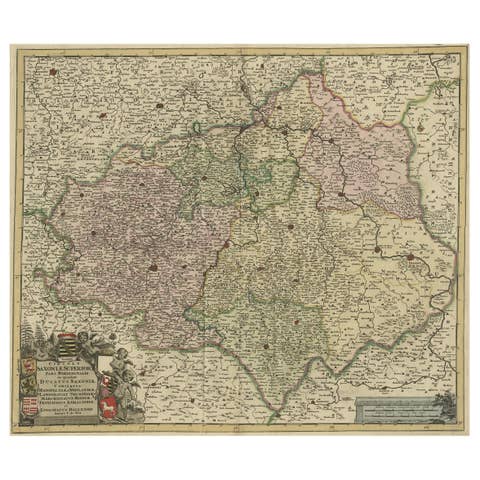
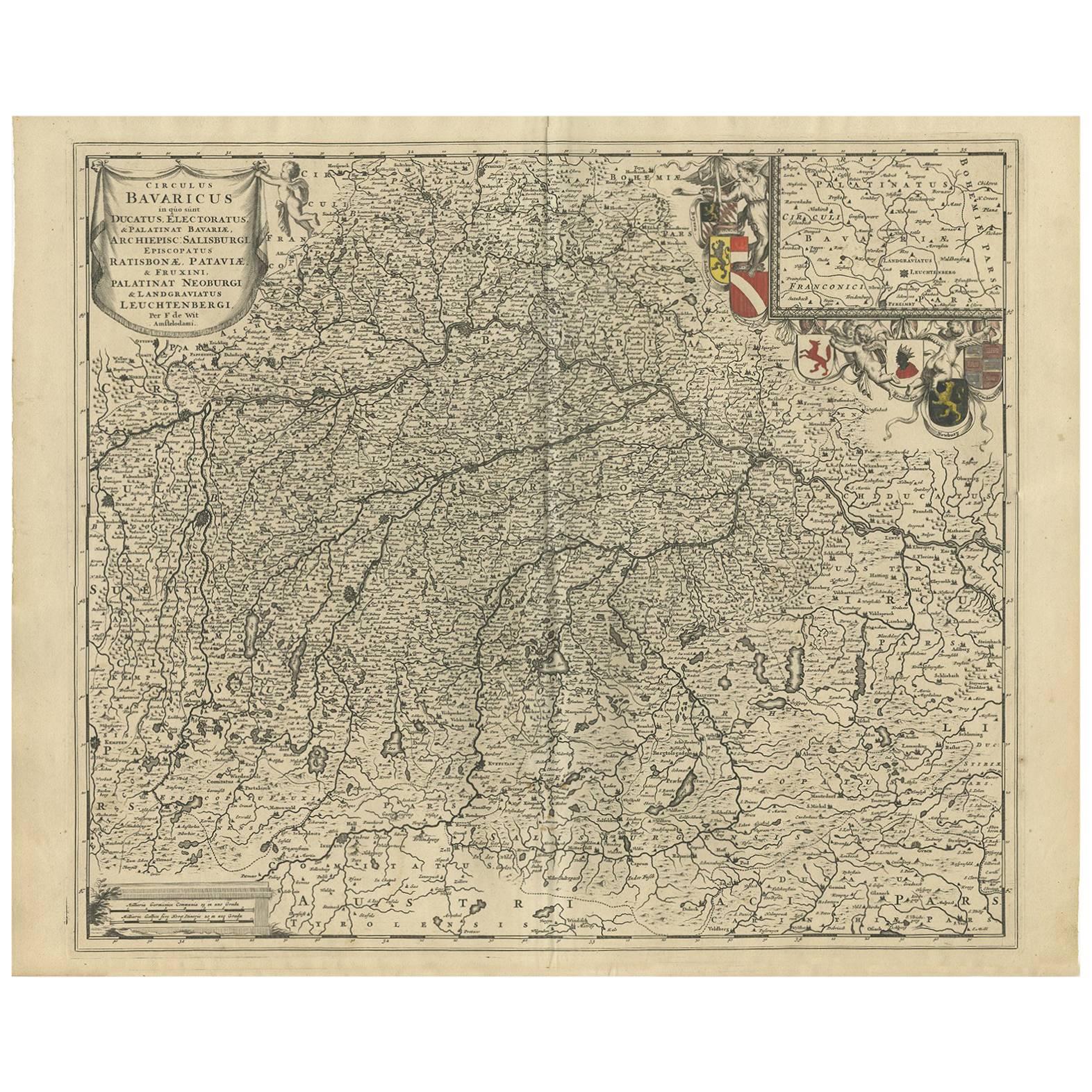
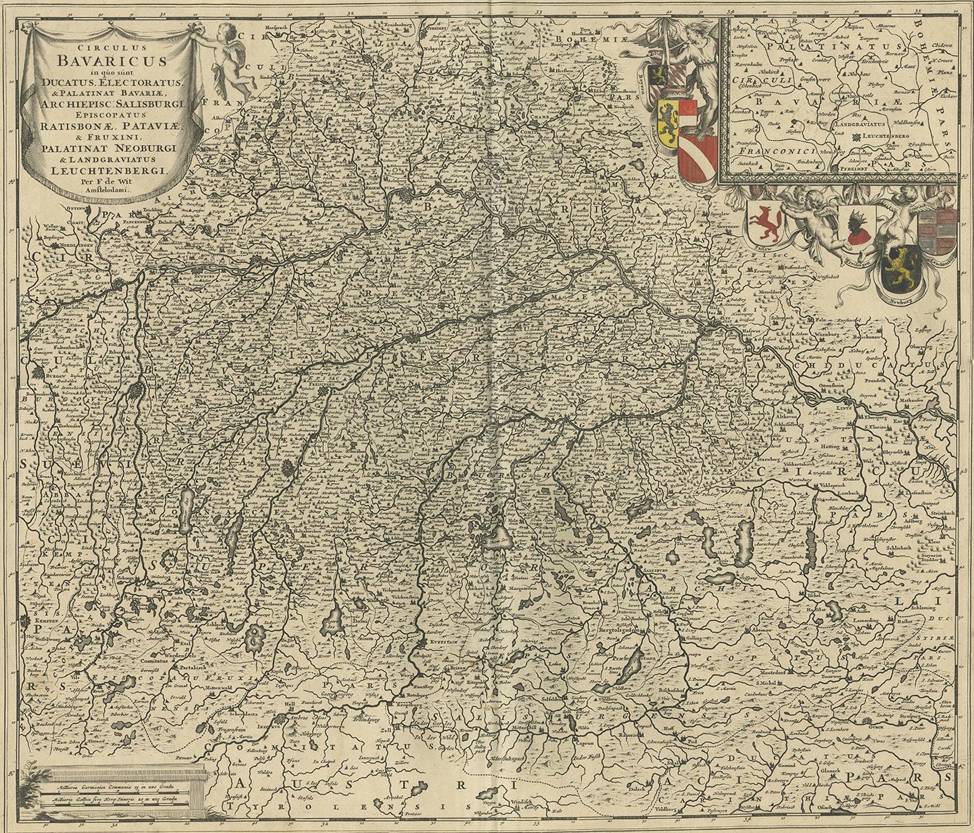
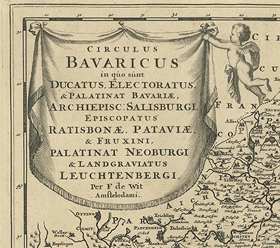
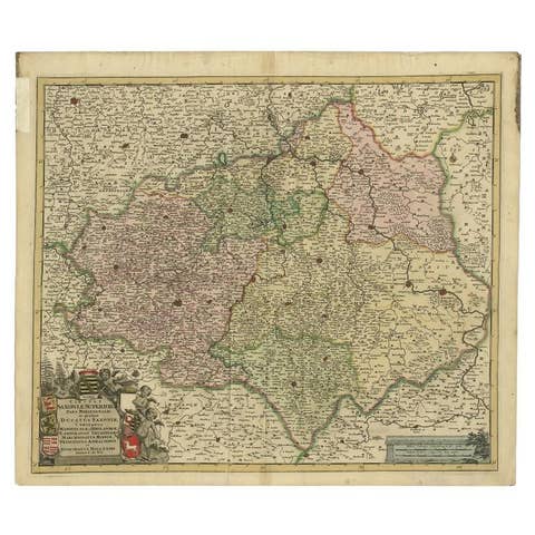
Antique Map of Southern Germany by F. de Wit, circa 1680

€ 514

One of a kind: this is the sheet in the photographs. Ships from Langweer, the Netherlands.

Date
1680
Sheet size
52.8 × 65 cm (20.8 × 25.6 in)
Condition
Good
Reference
BG-09162

Condition

Please study image carefully.
About this sheet

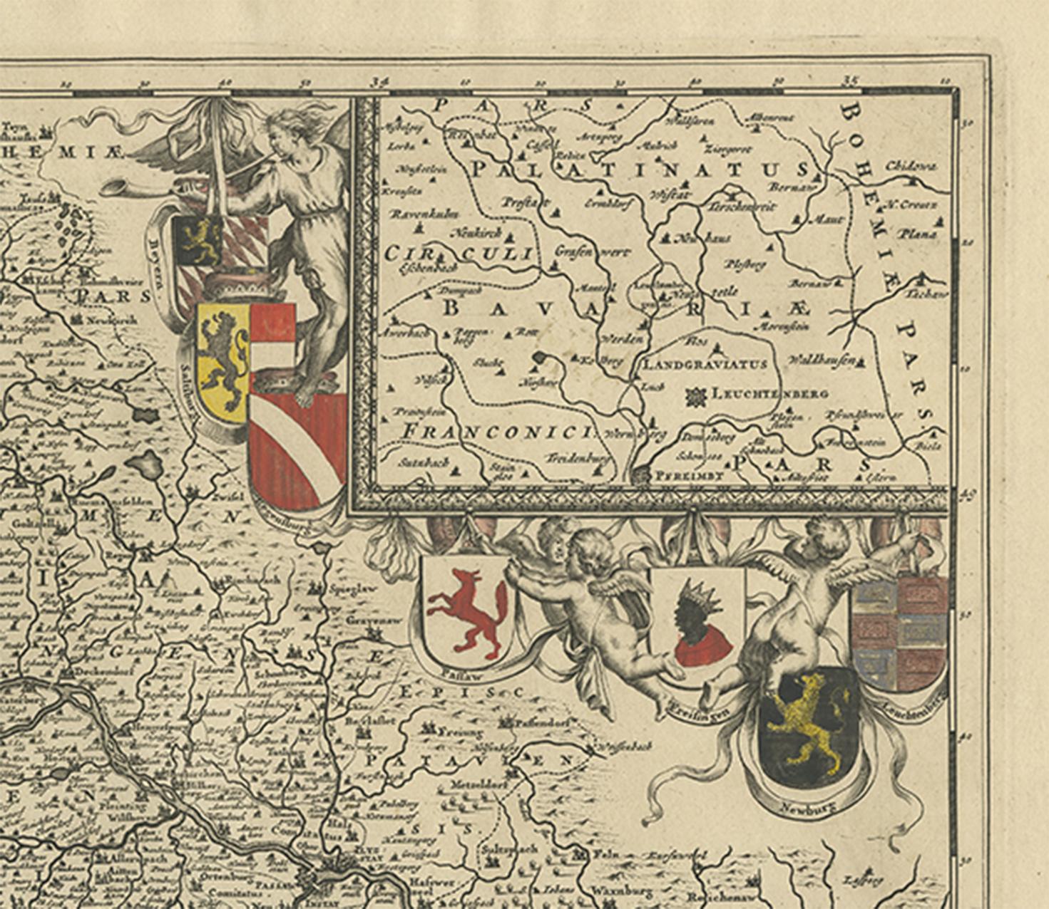
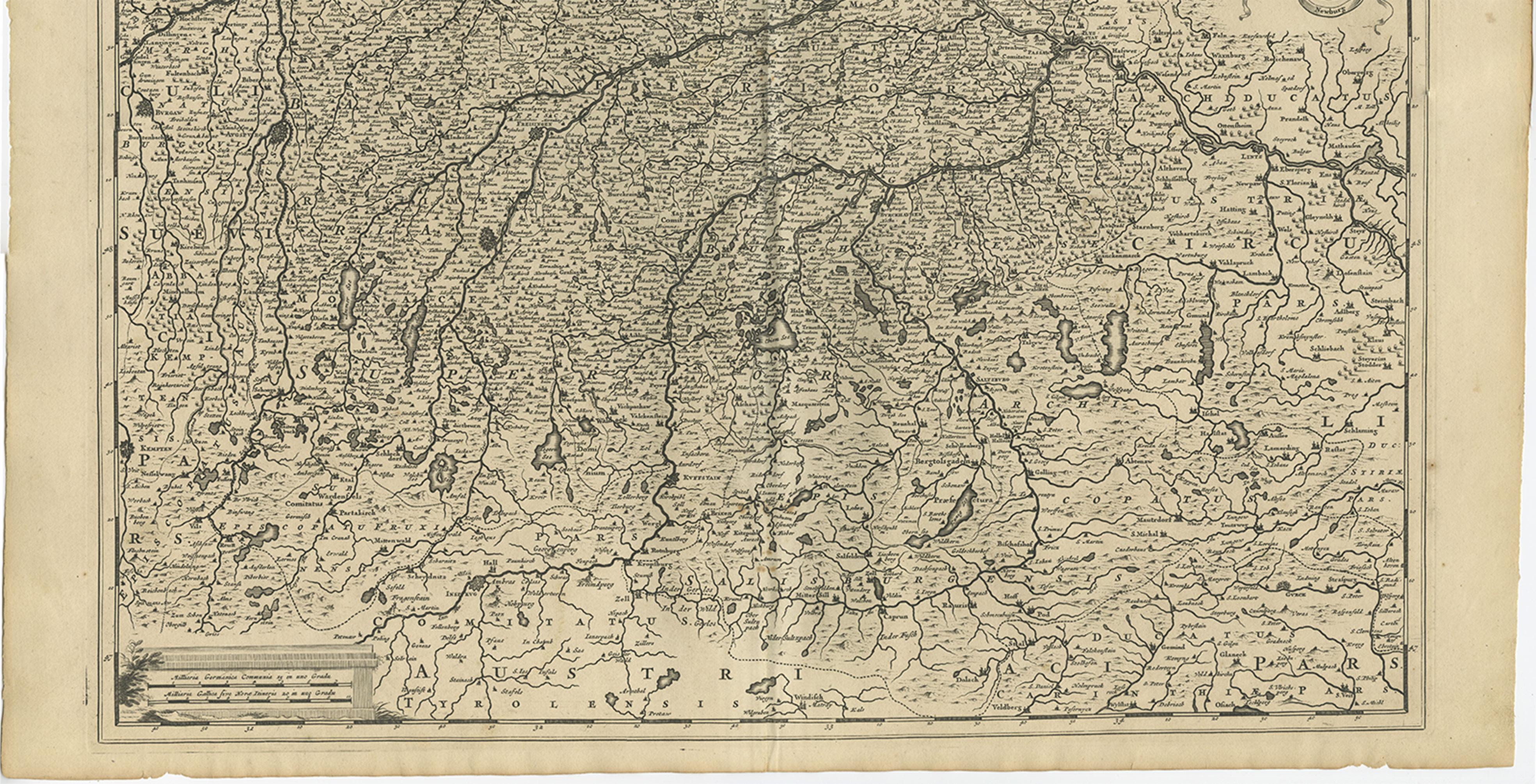
This antique map depicts a portion of southern Germany that included the historic regions of Bavaria, the Palatinate, Prussia-Brandenburg, the Rhineland and Saxony. Regensberg, Freising and Munich are at the center of the image with areas shown east to Linz, south to Innsbruck, west to Kempten, north to Amberg. An inset of "Palatinatus Bavariae" appears in the upper right surrounded by decorative colored engravings of the putti, garlands and shields displaying the crests of major cities.

More from Germany

Ask about this sheet

Antique Map of Southern Germany by F. de Wit, circa 1680
1680 · Ref. BG-09162 · € 514
We reply by email, usually within one working day.