Maps & PrintsBartele Gallery · Langweer
Home / Antique Maps / Europe / Western Europe / Germany

Germany · 17th century

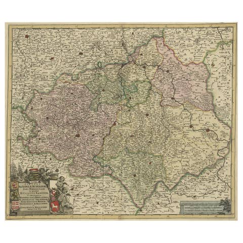
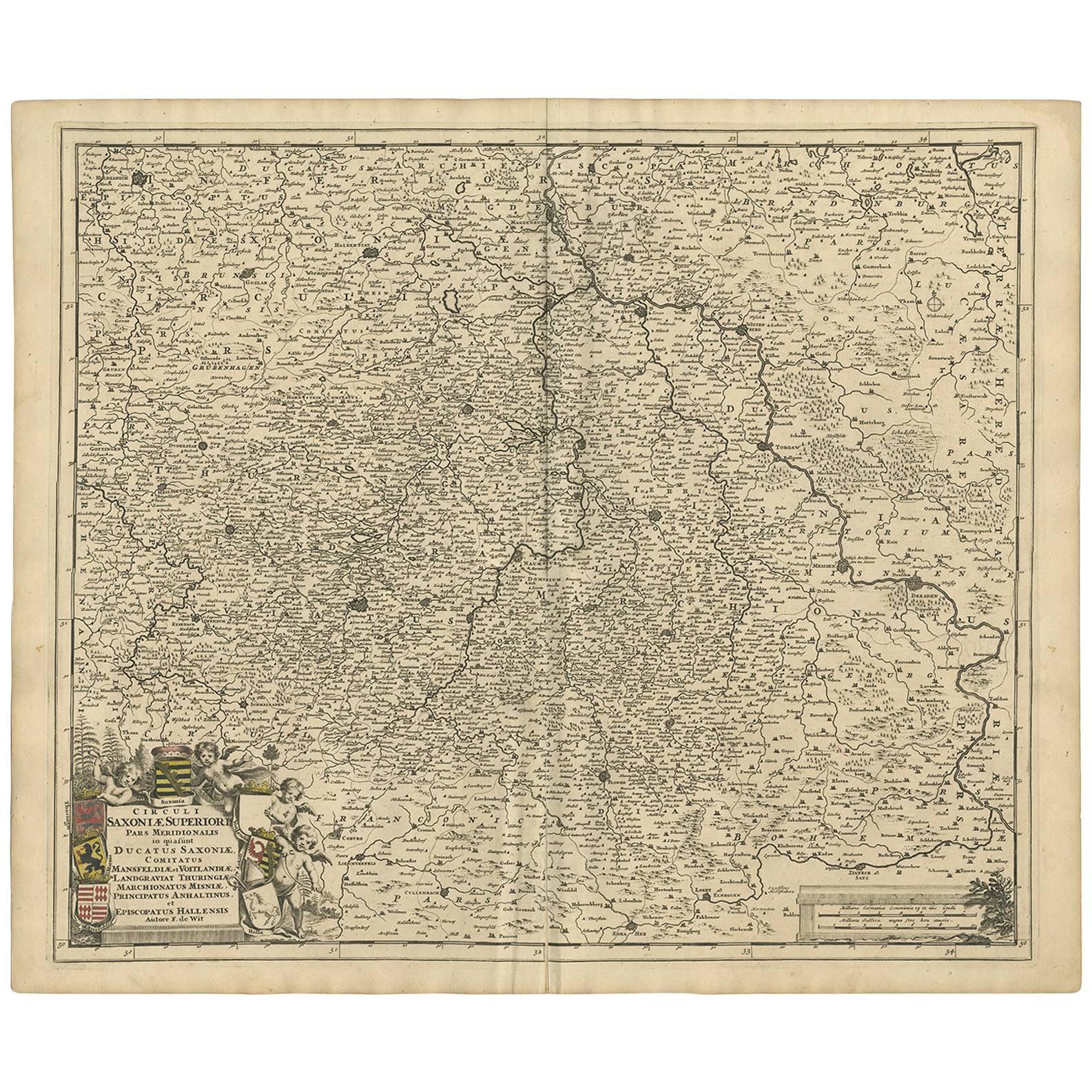
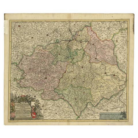
Antique Map of the Saxony Region 'Germany' by F. de Wit, circa 1680

€ 647

One of a kind: this is the sheet in the photographs. Ships from Langweer, the Netherlands.

Date
1680
Sheet size
53 × 63 cm (20.9 × 24.8 in)
Condition
Good
Reference
BG-09157

Condition

Minor fading. Please study image carefully.
About this sheet

A detailed map of a region in eastern Germany. Cartouches depict coat of arms surrounded by cherubs. The map is fully engraved with towns, political boundaries, rivers and forests. Published by F. de Wit, circa 1680.

More from Germany

Ask about this sheet

Antique Map of the Saxony Region 'Germany' by F. de Wit, circa 1680
1680 · Ref. BG-09157 · € 647
We reply by email, usually within one working day.