Antique Maps
5,418 original sheets
Europe 3023Asia 1110Africa 236America 548Australia & Oceania 159World Maps 111Sea Charts 209Celestial Maps 22
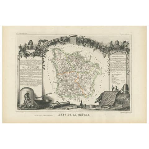
Antique Map of Nièvre ‘France’ by V. Levasseur, 1854
1854 · € 180
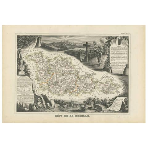
Antique Map of Moselle ‘France’ by V. Levasseur, 1854
1854 · € 180
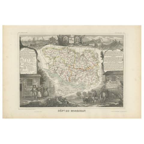
Antique Map of Morbihan ‘France’ by V. Levasseur, 1854
1854 · € 180
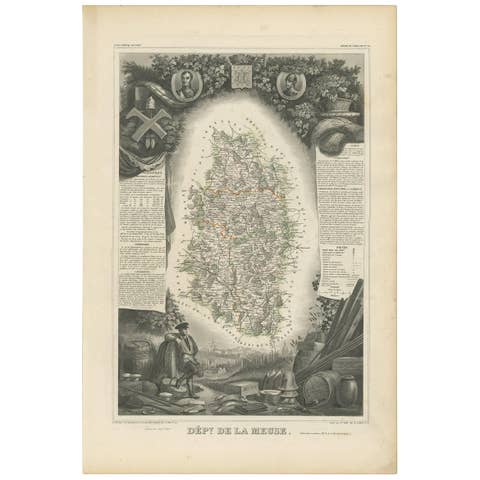
Antique Map of Meuse ‘France’ by V. Levasseur, 1854
1854 · € 180
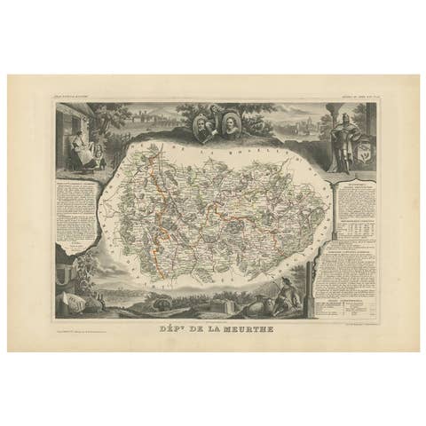
Antique Map of Meurthe ‘France’ by V. Levasseur, 1854
1854 · € 180
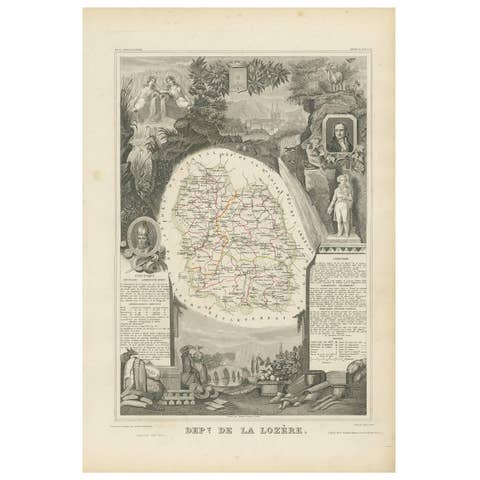
Antique Map of Lozère ‘France’ by V. Levasseur, 1854
1854 · € 180
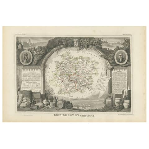
Antique Map of Lot et Garonne ‘France’ by V. Levasseur, 1854
1854 · € 180
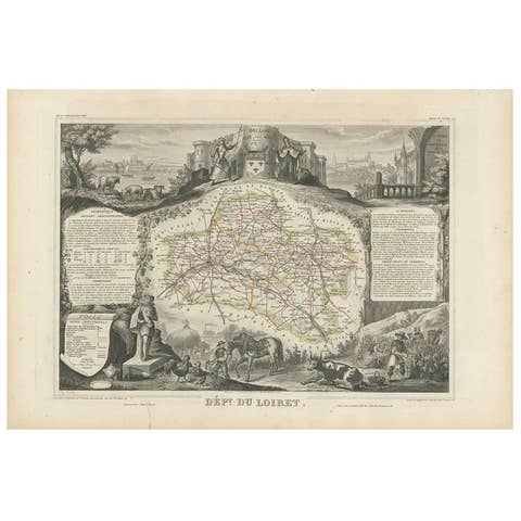
Antique Map of Loiret ‘France’ by V. Levasseur, 1854
1854 · € 180
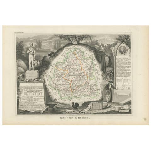
Antique Map of Indre ‘France’ by V. Levasseur, 1854
1854 · € 180
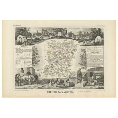
Antique Map of Mayenne ‘France’ by V. Levasseur, 1854
1854 · € 180
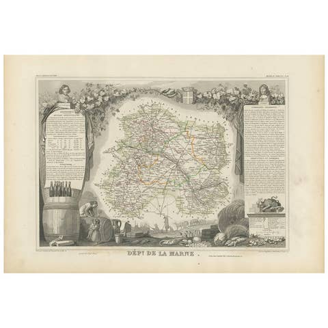
Antique Map of Marne ‘France’ by V. Levasseur, 1854
1854 · € 180
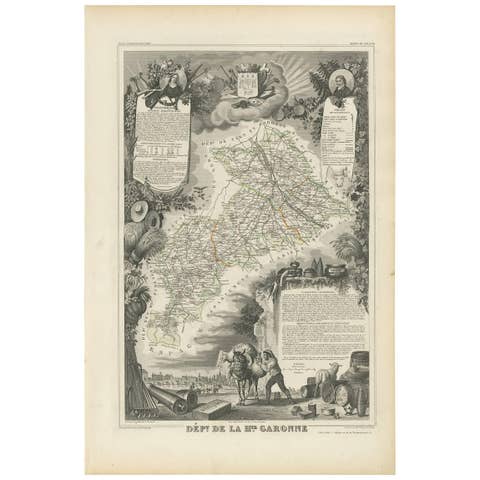
Antique Map of Haute-Garonne ‘France’ by V. Levasseur, 1854
1854 · € 180
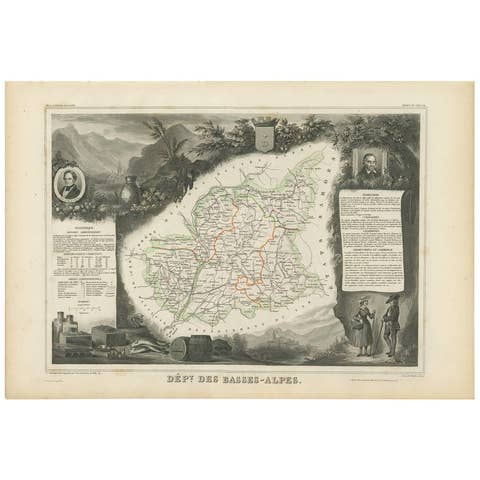
Antique Map of Basses-Alpes ‘France’ by V. Levasseur, 1854
1854 · € 200
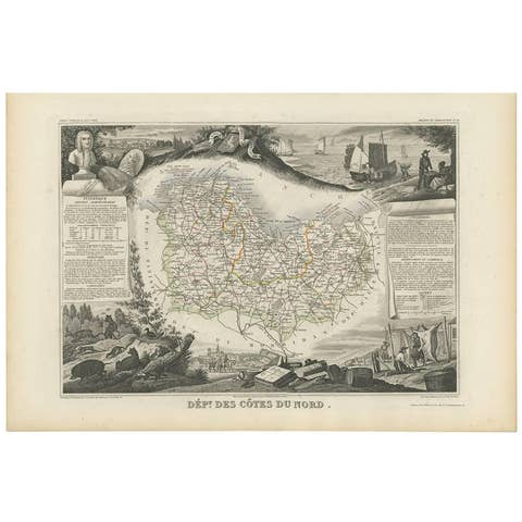
Antique Map of Côtes du Nord ‘France’ by V. Levasseur, 1854
1854 · € 200
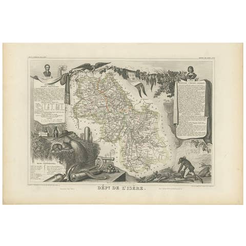
Antique Map of Isère ‘France’ by V. Levasseur, 1854
1854 · € 180
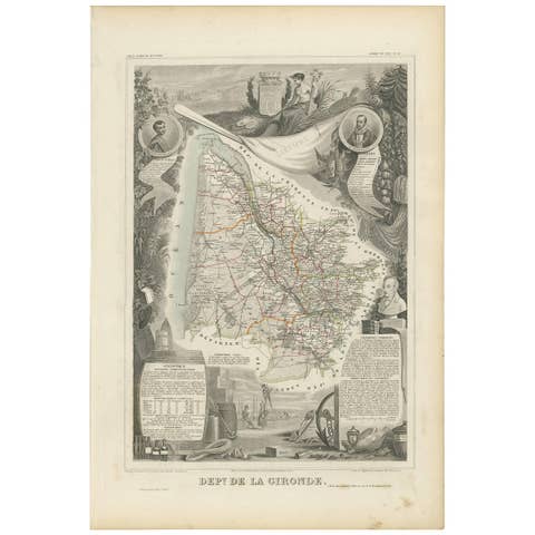
Antique Map of Gironde ‘France’ by V. Levasseur, 1854
1854 · € 180
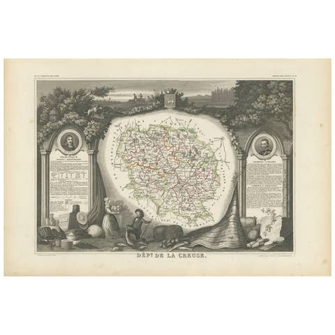
Antique Map of Creuse ‘France’ by V. Levasseur, 1854
1854 · € 180
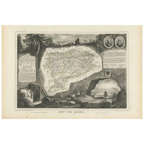
Antique Map of Doubs ‘France’ by V. Levasseur, 1854
1854 · € 180
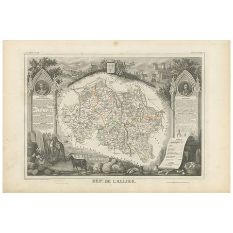
Antique Map of Allier ‘France’ by V. Levasseur, 1854
1854 · € 180
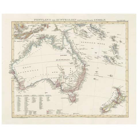
Antique Map of Australia and surrounding Islands by F. von Stülpnagel, 1850
1850 · € 220
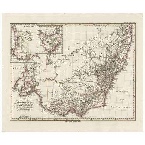
Antique Map of Southeastern Australia by F. von Stülpnagel, 1850
1850 · € 220

Antique Map of Australia by H. Kiepert, 1875
1875 · € 275
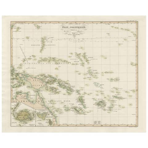
Antique Map of Western Polynesia, 1849
1849 · € 200

Antique Map of Eastern Polynesia, 1849
1849 · € 200
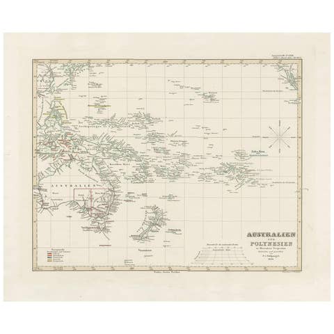
Antique Map of Australia, New Zealand and Oceania by F. von Stülpnagel, 1850
1850 · € 220

Antique Map of Egypt and Palestina by H. Kiepert, circa 1870
1870 · € 144
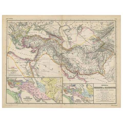
Antique Map of Part of the Roman Empire by H. Kiepert, circa 1870
1870 · € 150
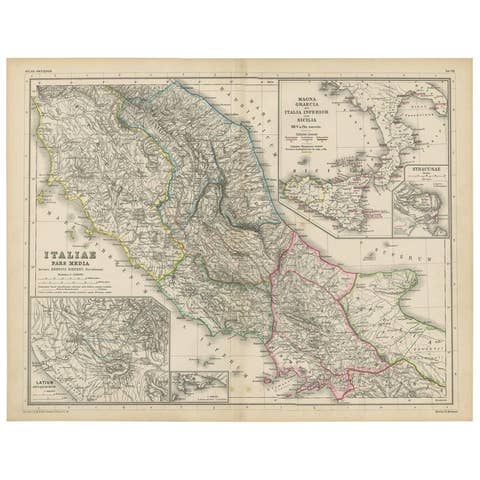
Antique Map of Italy and Greece by H. Kiepert, circa 1870
1870 · € 150
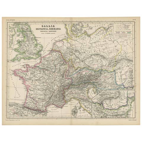
Antique Map of Western Europe by H. Kiepert, circa 1870
1870 · € 160

Antique Map of Spain, Mauritia and Africa by H. Kiepert, circa 1870
1870 · € 150
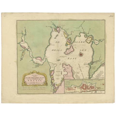
Antique Map of the Bahia Todos Santos 'Brazil' by Tirion, circa 1750
1750 · € 550
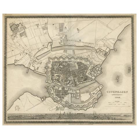
Copenhagen (Kiöbenhaven) Map with City View – Antique German Atlas Print, 1844
1844 · € 320
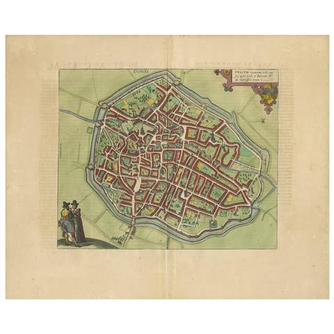
Antique Map of Douai 'France' by Braun & Hogenberg, circa 1575
1575 · € 650
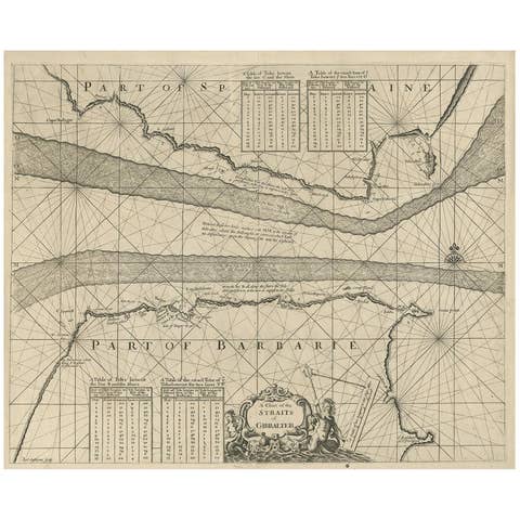
Antique Map of the Straits of Gibraltar by J. Gascoyne, circa 1716
1716 · € 475
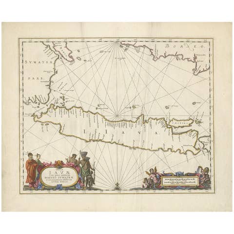
Antique Map of Java by Janssonius, circa 1650
1650 · € 2 950

Antique Map Eastern Mediterranean by D. Stoopendaal 'circa 1710'
1710 · € 350
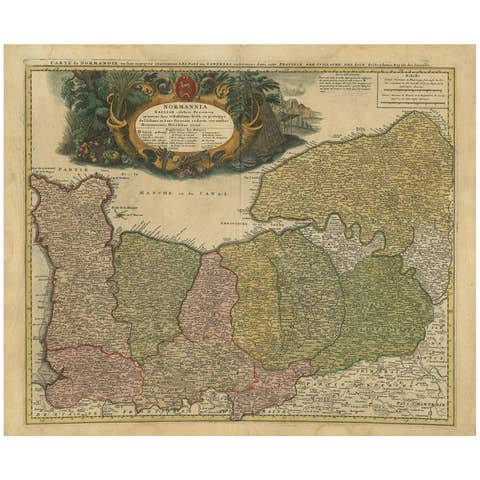
Antique Map Normandy 'France' by Homann Heirs, Published in c.1740
1740 · € 800
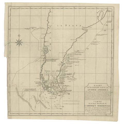
Antique Map of South America by G. Anson, 1749
1749 · € 350

Antique Coastal Map of Sumatra by De La Haye, circa 1780
1780 · € 362

Antique Map of Celebes 'Sulawesi, Indonesia' by Bellin, ciarca 1755
1755 · € 150
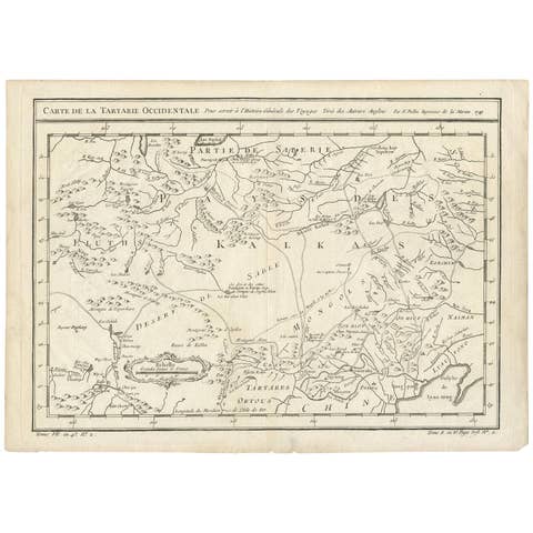
Antique Map of Tartary and Northeast Asia by Bellin, circa 1750
1750 · € 140

Antique Map of Western Africa and the Cape Verde Islands by Coronelli, 1691
1691 · € 900

Antique Map of Persia by A. Zatta, circa 1785
1785 · € 260
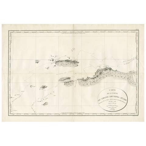
Antique Map of Indonesia by C.F. Beautemps-Beaupre, circa 1807
1807 · € 750
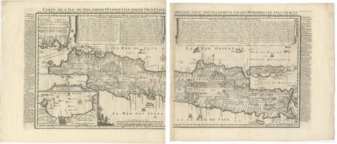
Antique Map of Java 'Indonesia' by Chatelain, 1719
1719 · € 2 500
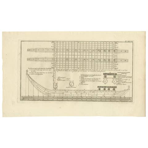
Antique Plan of Britannia 'Cross Section' by Cook, 1803
1803 · € 280
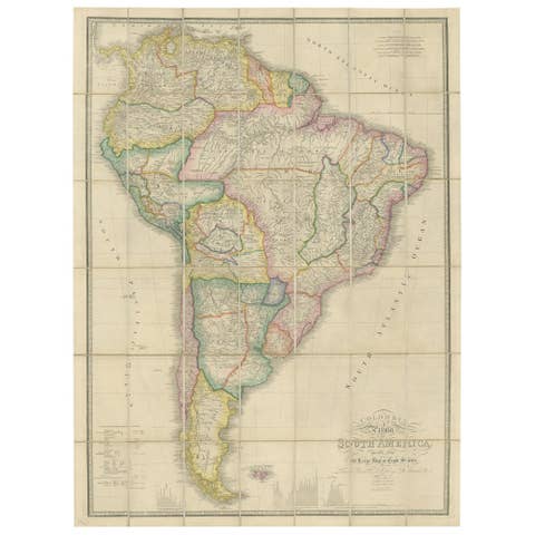
Antique Map of South America by Wyld, circa 1850
1850 · € 1 950
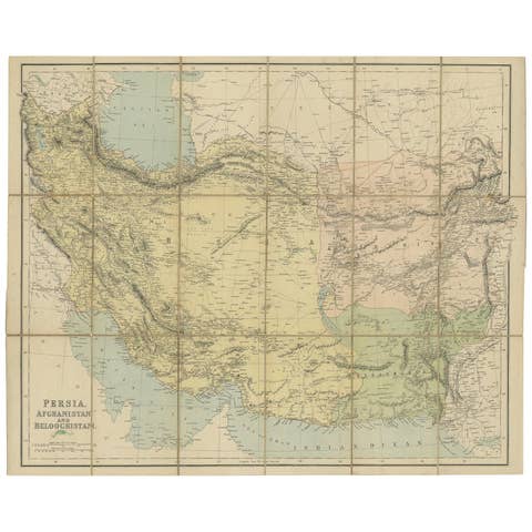
Antique Map of West Asia, circa 1900
1900 · € 1 200