Maps & PrintsBartele Gallery · Langweer
Home / Antique Maps / Europe / Eastern Europe

Eastern Europe · 18th century

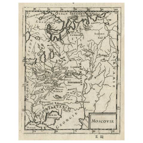
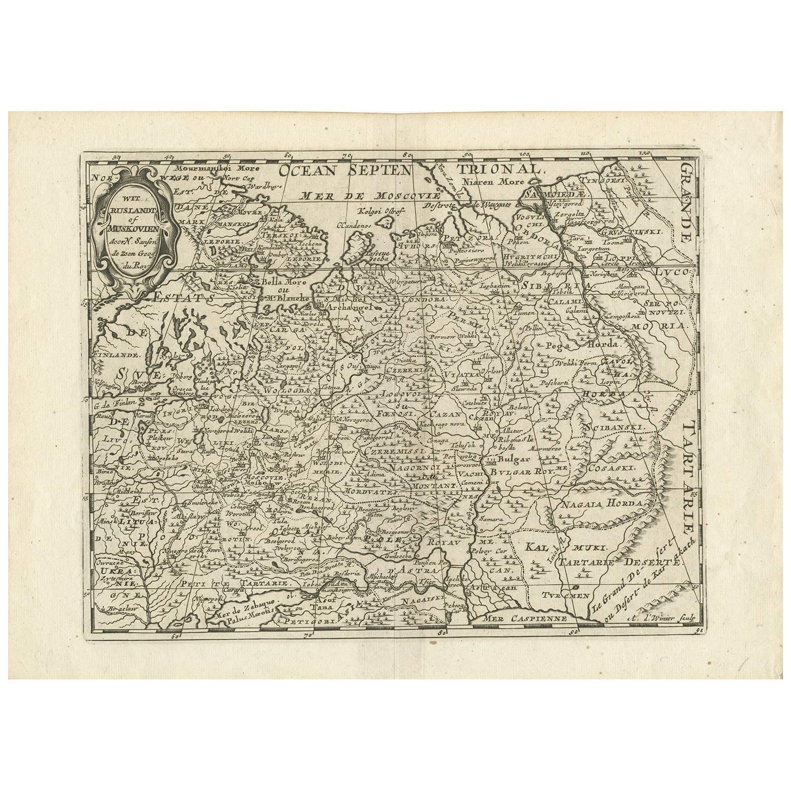
Antique Map of Russia by N. Sanson, 1705

€ 320

One of a kind: this is the sheet in the photographs. Ships from Langweer, the Netherlands.

Date
1705
Technique
Engraved
Sheet size
22.4 × 30.4 cm (8.8 × 12.0 in)
Condition
Good
Reference
BG-09457

Condition

Good. Please study image carefully.

About this sheet

A strongly engraved map of European Russia showing its political divisions, major topographical features, cities and towns. Extends to the Sea of Azov and the tip of the Caspian Sea in the south and east to beyond the Ob River, showing part of Finland, the Ukraine and the Gobi Desert. Absolutely filled with Russian place names. St. Petersburg is S. Michel Archangel. Embellished with a small strap work title cartouche. Engraved by Antoine d'Winter.

More from Eastern Europe

Ask about this sheet

Antique Map of Russia by N. Sanson, 1705
1705 · Ref. BG-09457 · € 320
We reply by email, usually within one working day.