
Maps & PrintsBartele Gallery · Langweer
Home / Antique Maps / Asia / South-East Asia / East Indies

East Indies · 17th century

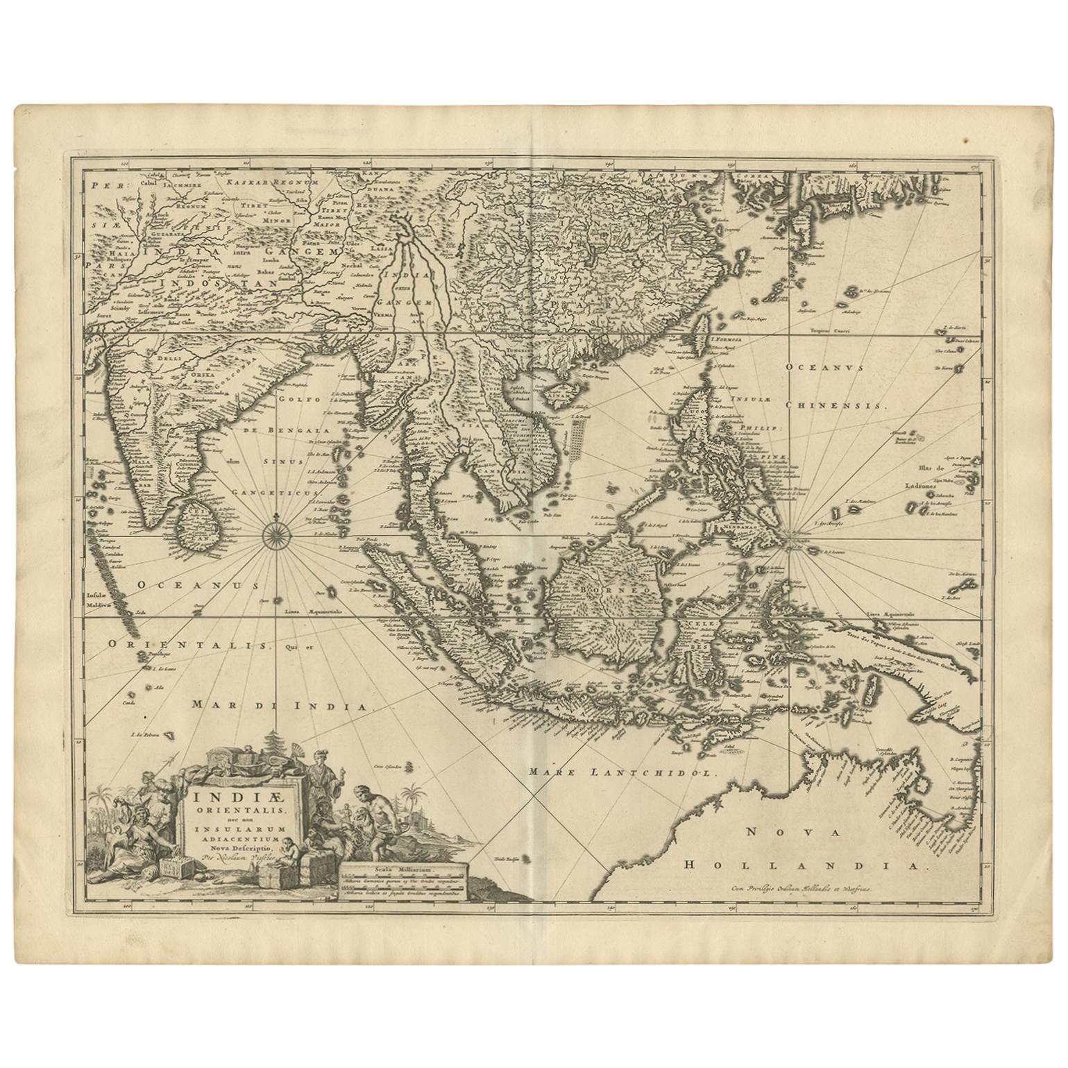
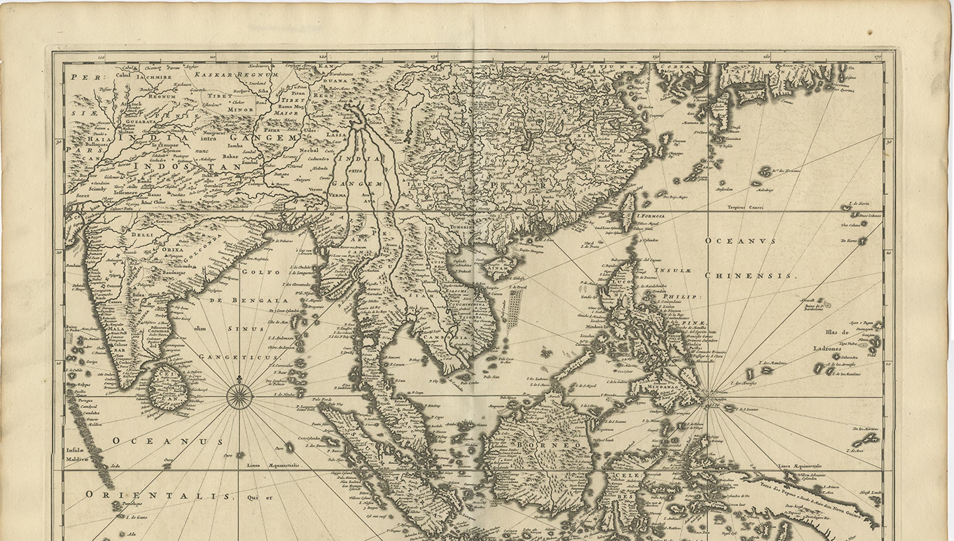
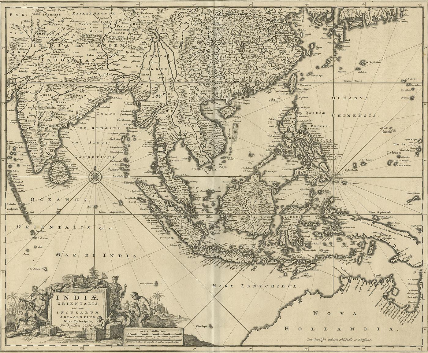
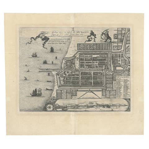
Antique Map of Southeast Asia 'India, Indonesia' by N. Visscher, circa 1670

€ 1 950

One of a kind: this is the sheet in the photographs. Ships from Langweer, the Netherlands.

Date
1670
Sheet size
52.7 × 63.6 cm (20.7 × 25.0 in)
Condition
Good
Reference
BG-09194

Condition

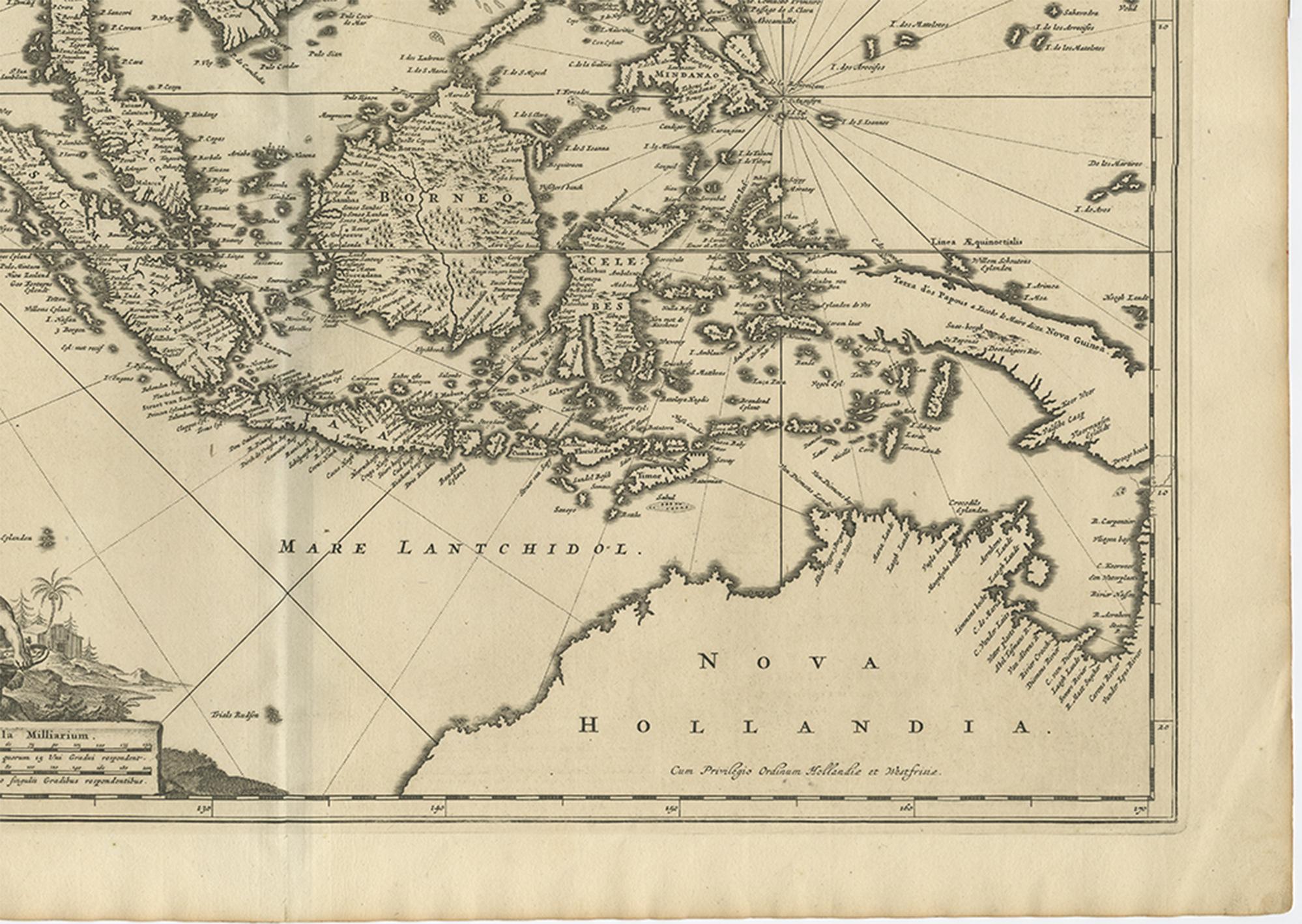
Great condition. Please study image carefully.
About this sheet

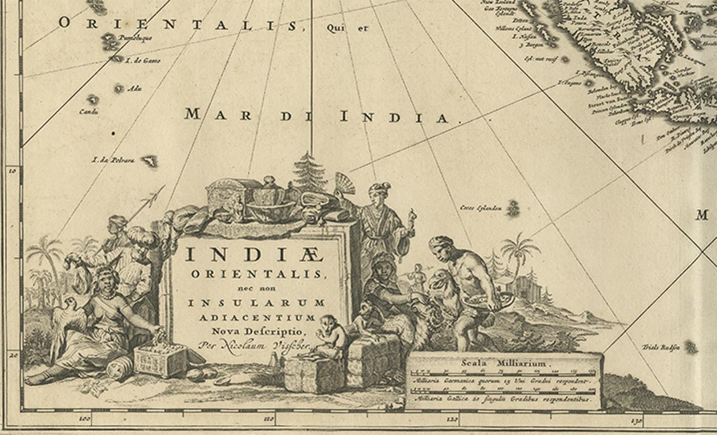
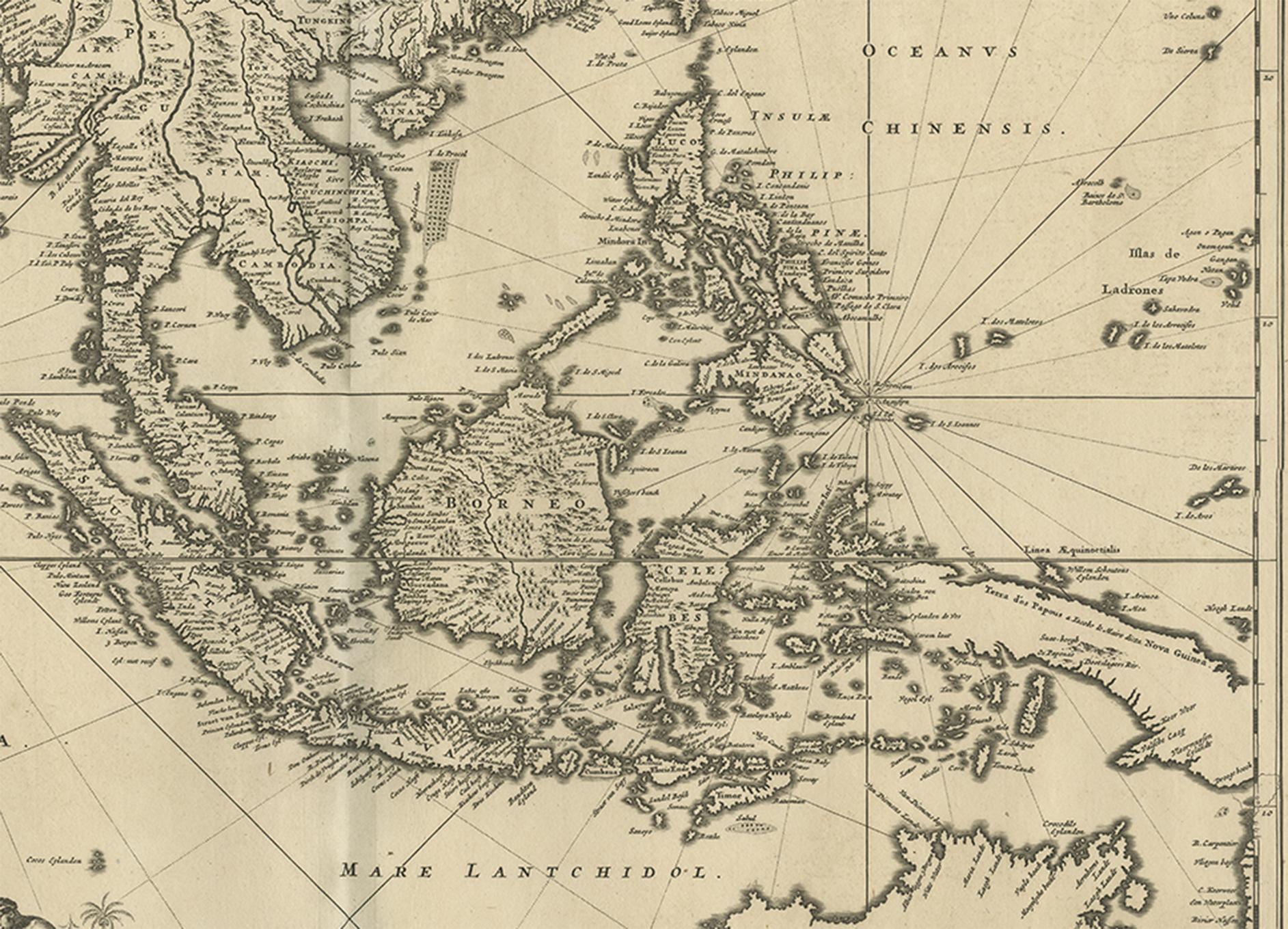
Antique map titled 'Indiae Orientalis, nec non Insularum Adiacentium Nova Descriptio.' The map centers on the Strait of Malacca and Malay Peninsula. It extends from India and the Maldives in the west to New Guinea and the southern coast of Japan in the East. Decorative title cartouche in the lower left. Published by Nicolaes Visscher in Amsterdam, circa 1670.

More from East Indies

Ask about this sheet

Antique Map of Southeast Asia 'India, Indonesia' by N. Visscher, circa 1670
1670 · Ref. BG-09194 · € 1 950
We reply by email, usually within one working day.