Maps & PrintsBartele Gallery · Langweer
Home / Antique Maps / Europe / Western Europe / The Netherlands & Belgium

The Netherlands & Belgium · 17th century

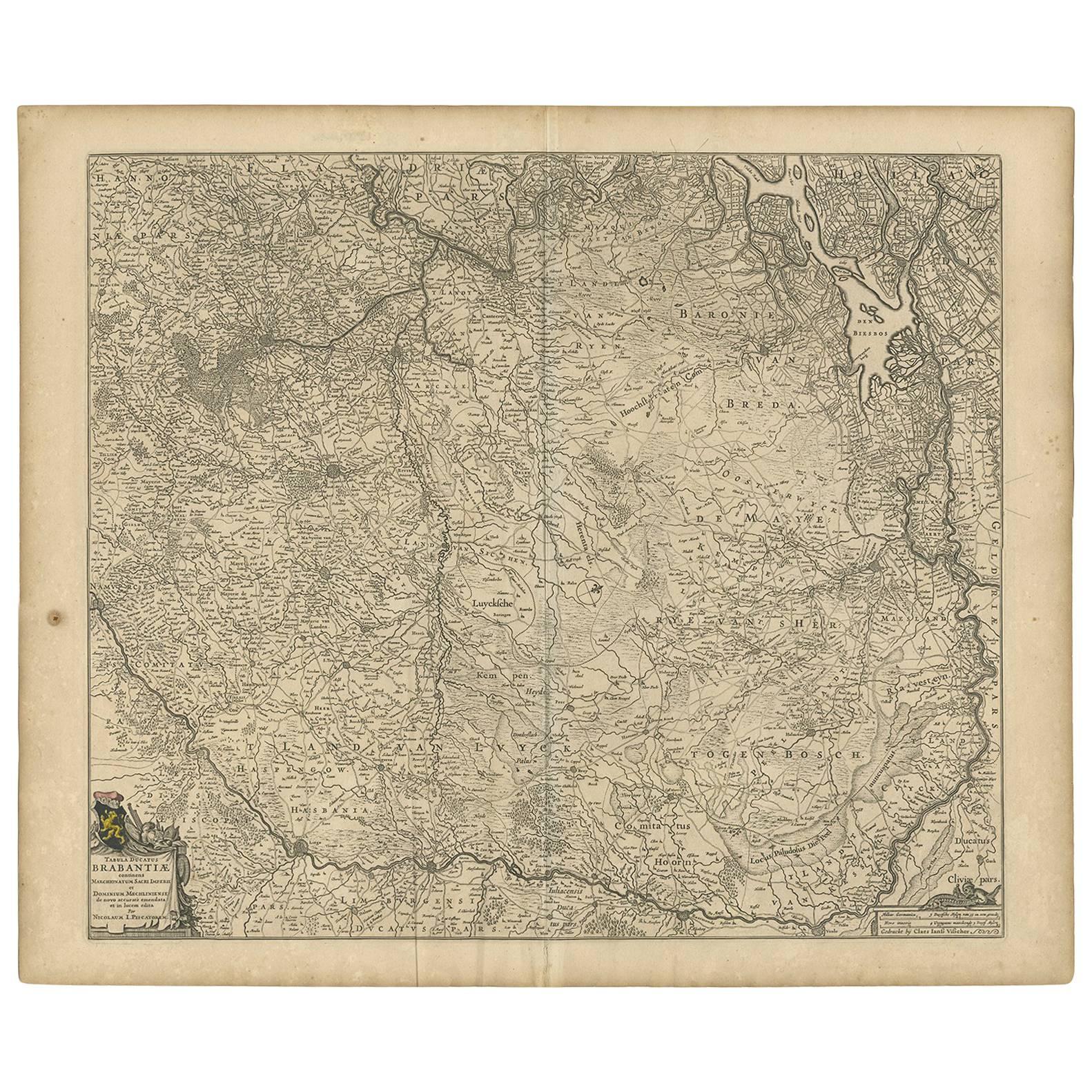
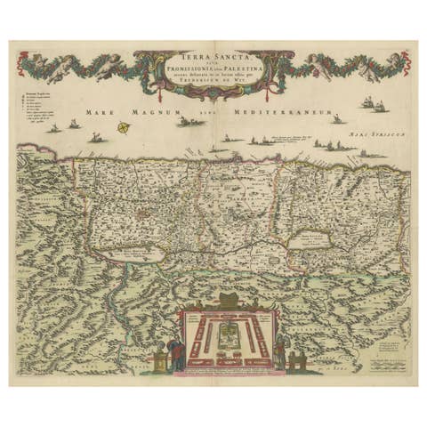
Antique Map of Brabant 'The Netherlands' by N. Visscher, circa 1670

€ 620

One of a kind: this is the sheet in the photographs. Ships from Langweer, the Netherlands.

Date
1670
Sheet size
52.8 × 63.6 cm (20.8 × 25.0 in)
Condition
Good
Reference
BG-09176

Condition

Minor fading. Few stains. Please study image carefully.
About this sheet

Detailed map of the southern part of The Netherlands and the northern part of Belgium with Antwerp and Brussels. In the corner top left in Holland with Rotterdam partly on the map. Small cartouche with a coat of arms. Rare and early edition.

More from The Netherlands & Belgium

Ask about this sheet

Antique Map of Brabant 'The Netherlands' by N. Visscher, circa 1670
1670 · Ref. BG-09176 · € 620
We reply by email, usually within one working day.