About this sheet
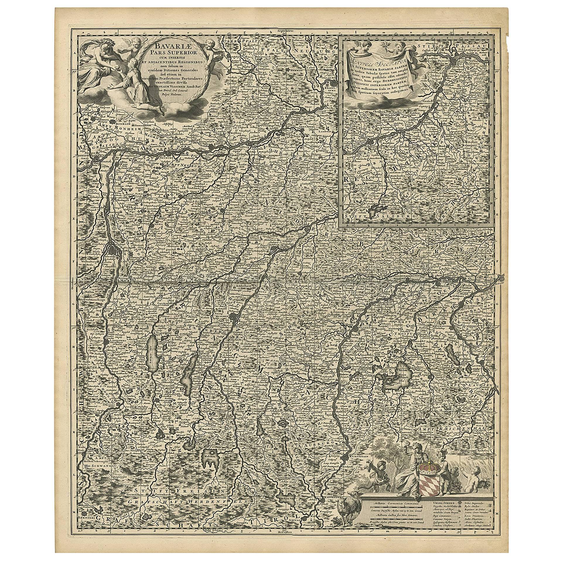
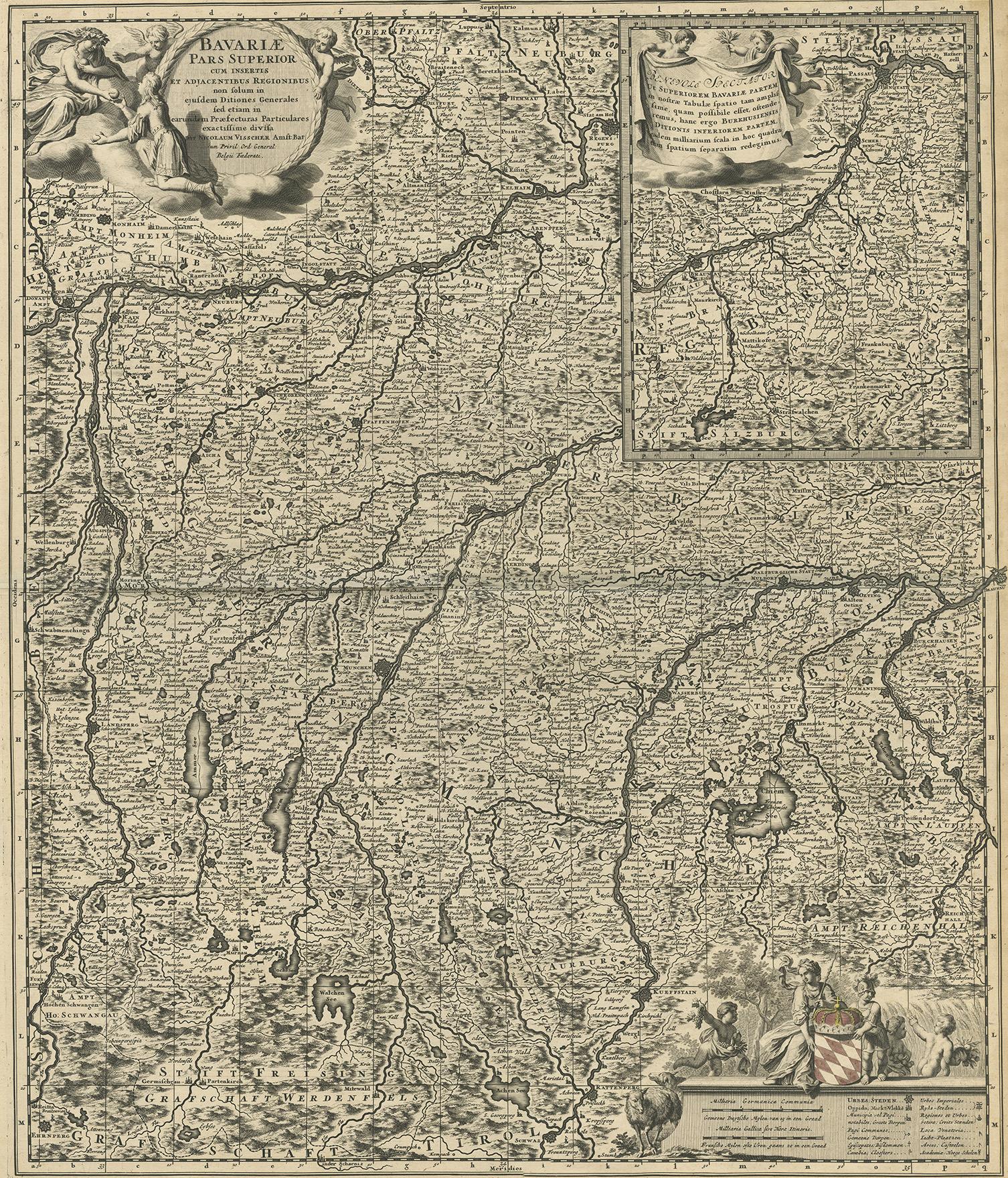
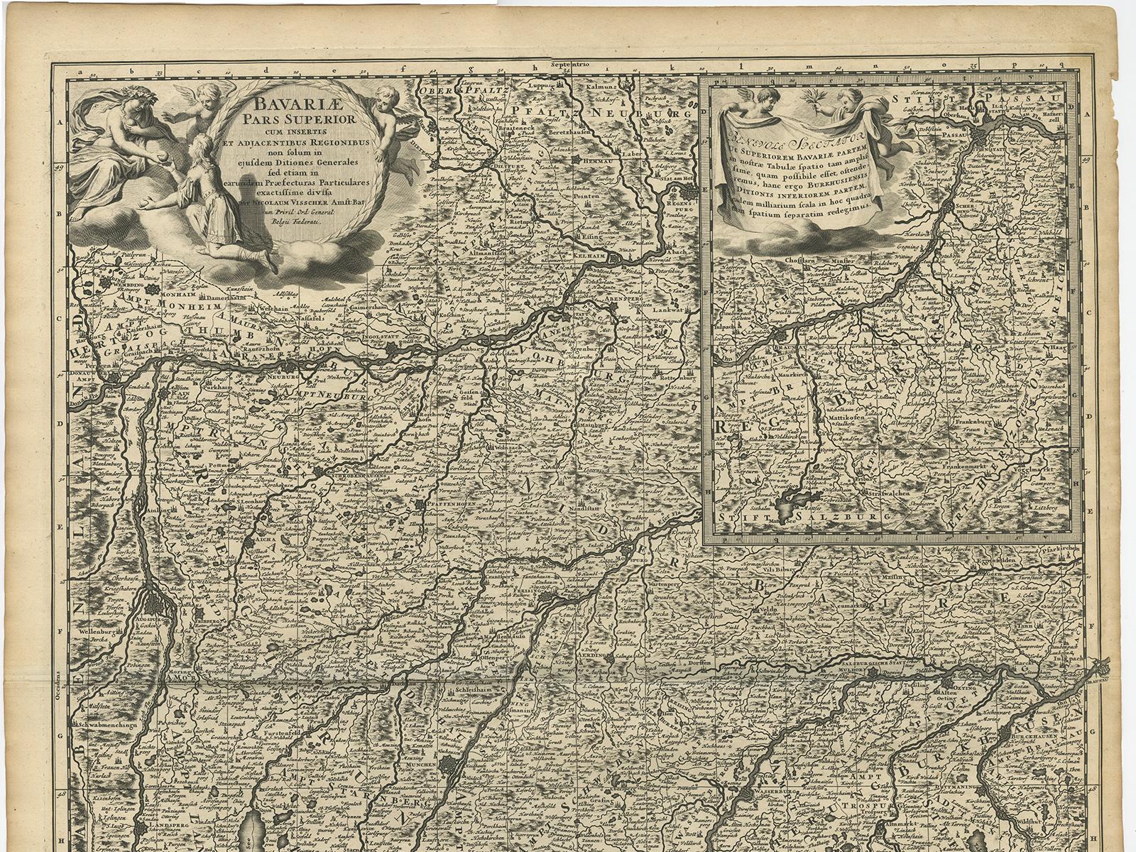
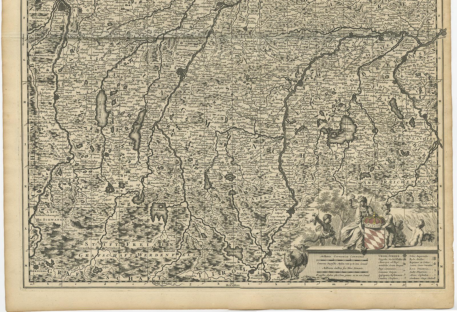
Antique map titled 'Bavariae pars superior cum insertis et adjacentibus regionibus non solum in ejusdem ditiones generales (..). Original antique map of upper Bavaria from Regensburg in the north towards Schwaz in the neighbouring Tirol in the south of the map. Close to the centre of the map ,Munich' is shown on the map, south of it the upper Bavarian lakes and the Bavarian alps towards the neighboring Tirol. In the upper right corner the map is equipped with an inset map of the ,Innviertel', this is the region east of the river Inn south of Passau, which belonged from the very sixth century until 1777 to Bavaria. Now this region belongs to Austria. Published around 1690 in one of the atlases by Nicolaus Visscher (1649-1702).
The Visscher family were art and map dealers in Amsterdam during the 17th century. Funded by C. J. Visscher (1587-1652), the business was continued by his son and grandson both named Nicolas. Nicolas Visscher I was born 1618 in Wenns, Austria. He died 1679 in Linz. After the death of Nicolas II, his widow passed the business to Pieter Schenk.