Maps & PrintsBartele Gallery · Langweer
Home / Antique Maps / Asia / East Asia / Japan

Japan · 18th century

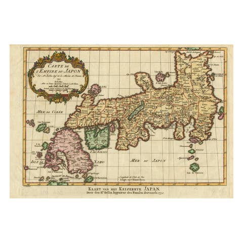
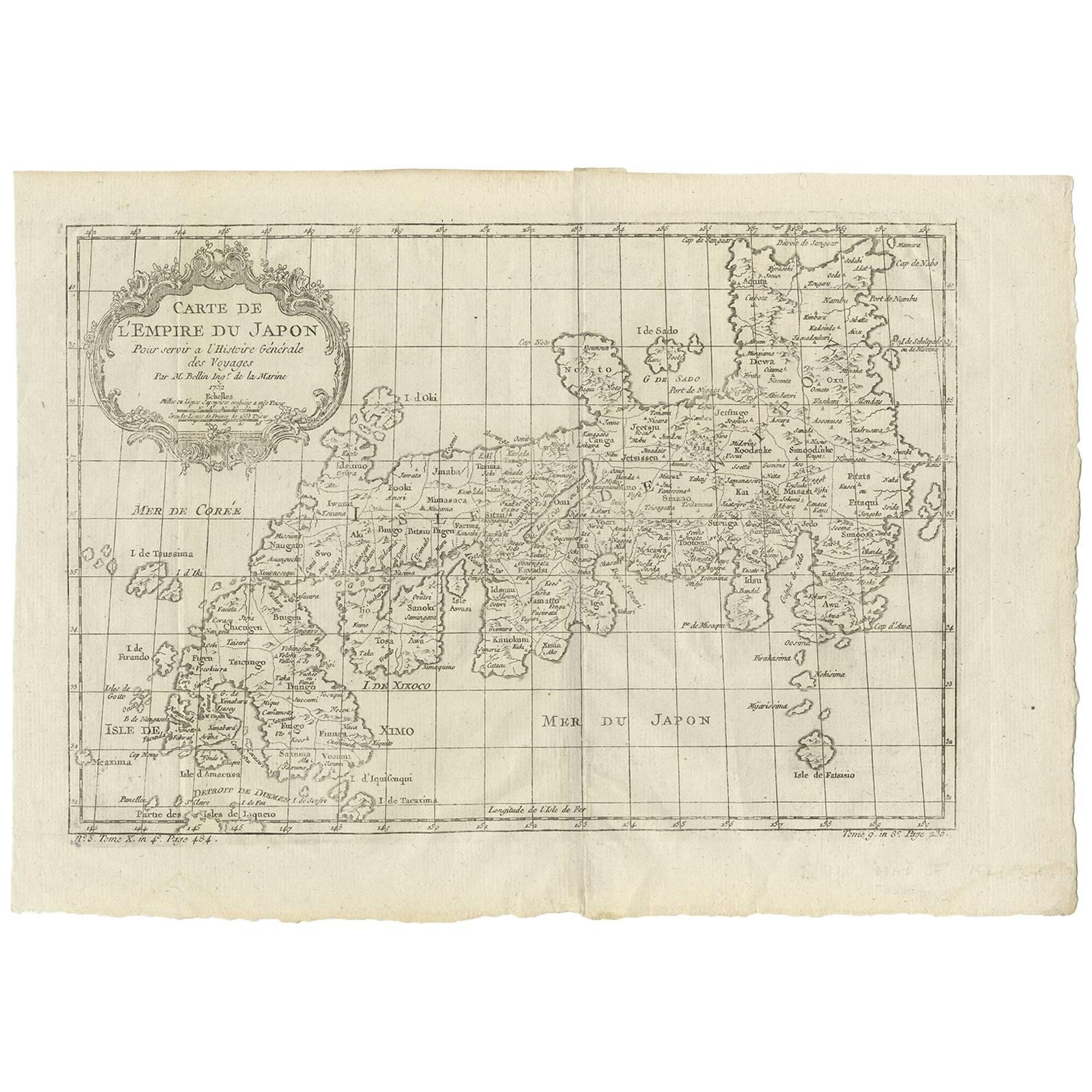
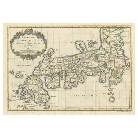
Antique Map of Japan by J.N. Bellin, 1752

€ 460

One of a kind: this is the sheet in the photographs. Ships from Langweer, the Netherlands.

Date
1752
Sheet size
26.3 × 37.4 cm (10.4 × 14.7 in)
Condition
Good
Reference
BG-09449

Condition

Please study image carefully.
About this sheet

Bellin's wonderfully detailed map of Japan from the atlas of Prevost d'Exiles' influential collection of travel narratives, Histoire Generale des Voyages. Considered the best general outline of Japan of the 18th century, the map includes Provincial borders, many place names and topographical details, and a lovely Rococo-style title cartouche. Cartographer: Bellin. Place & Date: Paris, 1752-1760.

More from Japan

Ask about this sheet

Antique Map of Japan by J.N. Bellin, 1752
1752 · Ref. BG-09449 · € 460
We reply by email, usually within one working day.