Maps & PrintsBartele Gallery · Langweer
Home / Antique Maps / Asia / South-East Asia

South-East Asia · 18th century

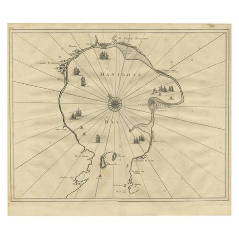
Antique Map of Manilla Bay Philippines by P. van der Aa, 1719

€ 328

One of a kind: this is the sheet in the photographs. Ships from Langweer, the Netherlands.

Date
1719
Technique
Engraved
Sheet size
30.5 × 19.8 cm (12.0 × 7.8 in)
Condition
Good
Reference
BG-09434

Condition

Good. Please study image carefully.
About this sheet

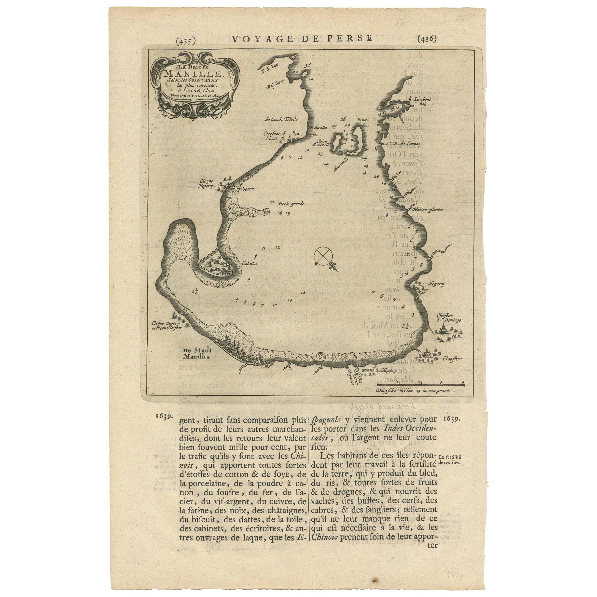
Rare antique map titled 'La Baie de Manille (..)'. Map of Manilla Bay, the map is oriented with southwest at the top and includes a small town plan for Manilla and other places. This map originates from "Les Voyages du sieur Albert de Mandelslo." by P. van der Aa, Leiden, 1719. Text on verso.

More from South-East Asia

Ask about this sheet

Antique Map of Manilla Bay Philippines by P. van der Aa, 1719
1719 · Ref. BG-09434 · € 328
We reply by email, usually within one working day.