Maps & PrintsBartele Gallery · Langweer
Home / Antique Maps / Europe / Western Europe / The Netherlands & Belgium

The Netherlands & Belgium · 18th century

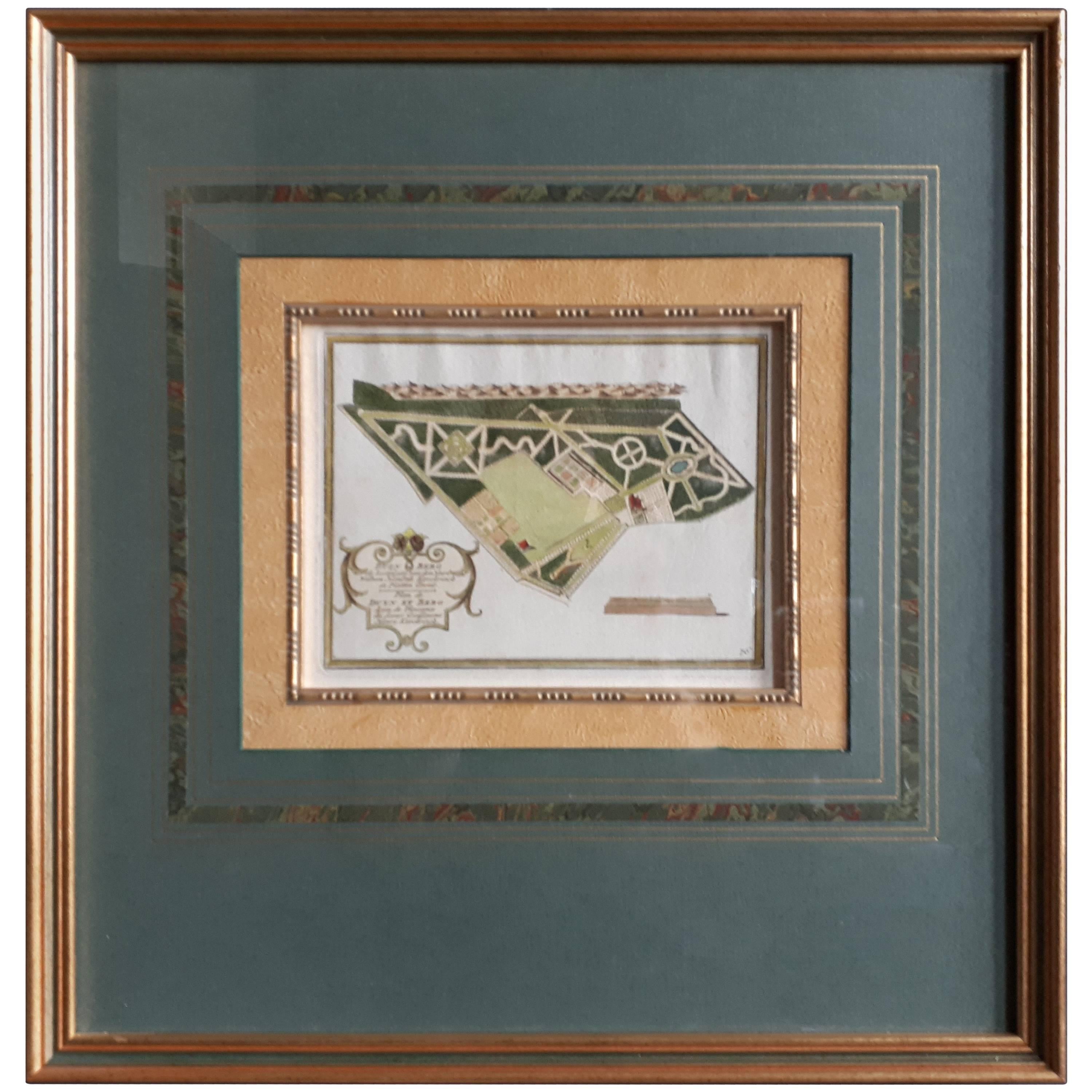
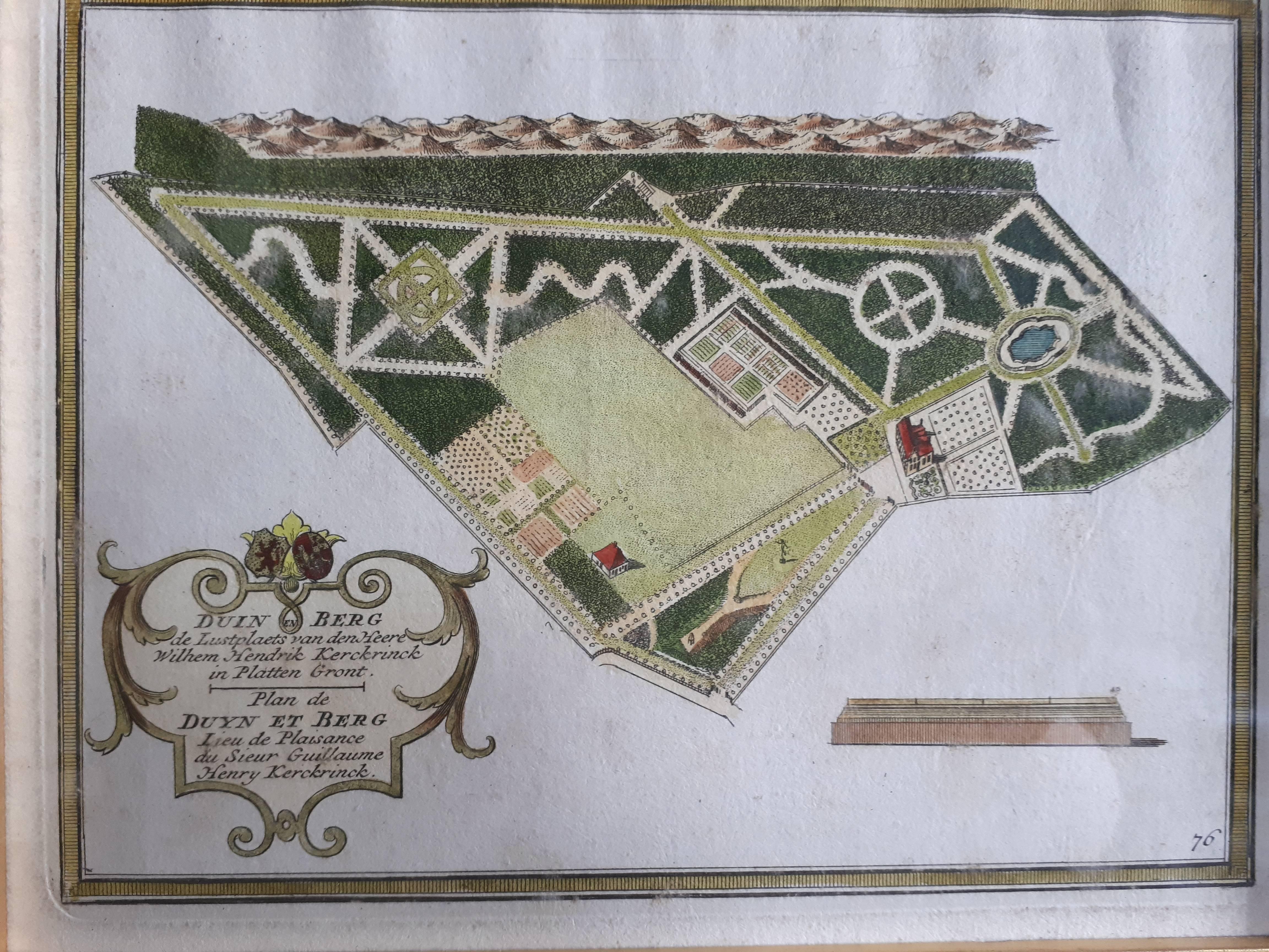
Antique Plan of Duin en Berg 'the Netherlands' by H. de Leth circa 1732

€ 480

One of a kind: this is the sheet in the photographs. Ships from Langweer, the Netherlands.

Date
1732
Sheet size
48 × 46 cm (18.9 × 18.1 in)
Condition
Good

Condition

Great condition, unusual frame included. Please study image carefully.
About this sheet

Antique plan titled 'Beschrijving Duin en Berg, de Lustplaets van den Heere Wilhem Hendrik Kerckrinck in Platten Gront'. Decorative cartouche with Dutch and French text. This plan originates from 'Het zegepralent Kennemerland', by H. de Leth and M. Brouerius van Nidek, Amsterdam, circa 1732.

More from The Netherlands & Belgium

Ask about this sheet

Antique Plan of Duin en Berg 'the Netherlands' by H. de Leth circa 1732
1732 · € 480
We reply by email, usually within one working day.