Maps & PrintsBartele Gallery · Langweer
Home / Antique Maps / Europe / Western Europe / France

France · 18th century

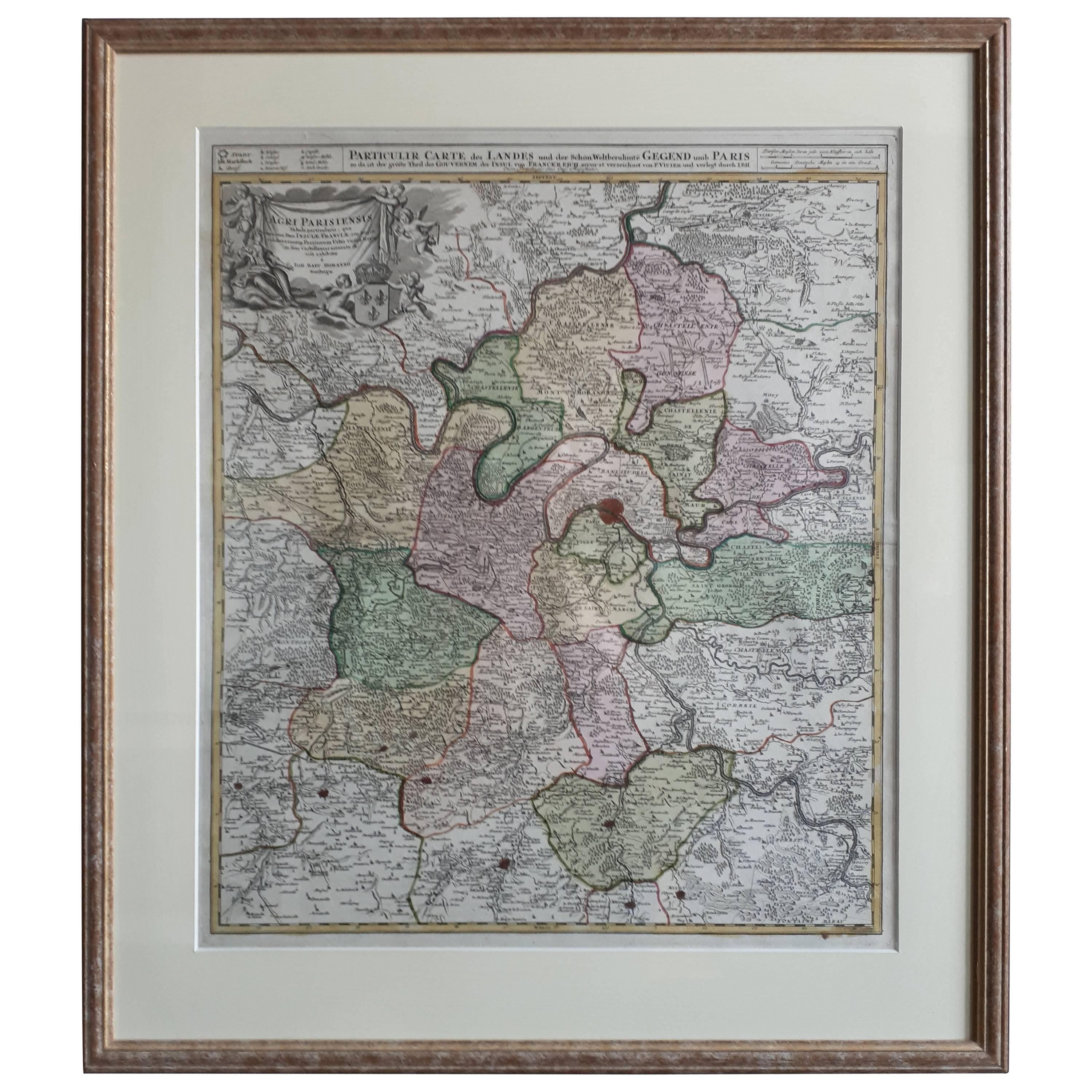
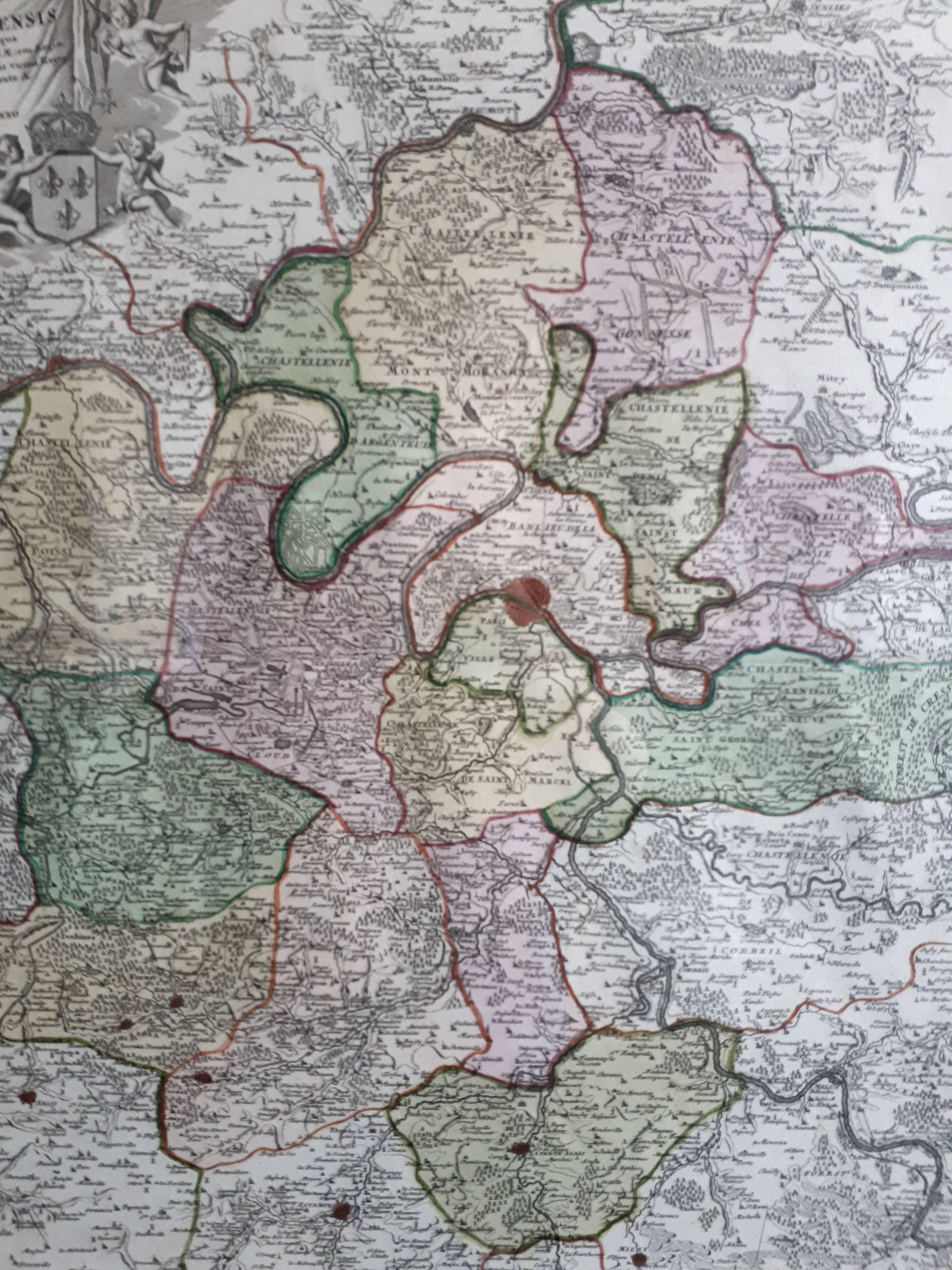
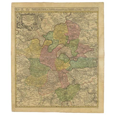
Antique Map in Frame of the Region of Paris ‘France’ by H. Heirs, circa 1720

€ 1 100

One of a kind: this is the sheet in the photographs. Ships from Langweer, the Netherlands.

Date
1720
Sheet size
76 × 66.5 cm (29.9 × 26.2 in)
Condition
Good
Reference
BG-07069

Condition

Great condition, frame included. Please study image carefully.
About this sheet

Antique map titled 'Agri Parisiensis Tabula particularis, qua maxima Pars Insulae Franciae (..)'. Incredibly detailed map showing everything from tiny villages to forests, farmland, walled cities and more. Centered on Paris, the map extends to show these cities at the extremities - Ablis, Messe, Herissy, Senlies, and Mante. Details in Paris includes its fortifications and the gardens at Vincennes. Beautiful cartouche with several putti.

More from France

Ask about this sheet

Antique Map in Frame of the Region of Paris ‘France’ by H. Heirs, circa 1720
1720 · Ref. BG-07069 · € 1 100
We reply by email, usually within one working day.