
Maps & PrintsBartele Gallery · Langweer
Home / Antique Maps / Europe / Central Europe

Central Europe · 17th century

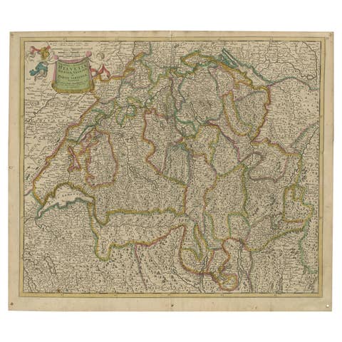
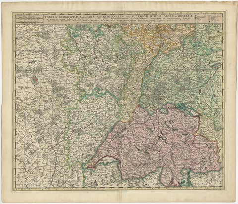
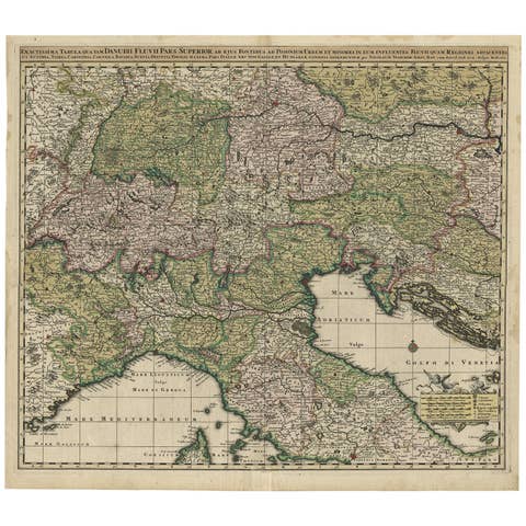
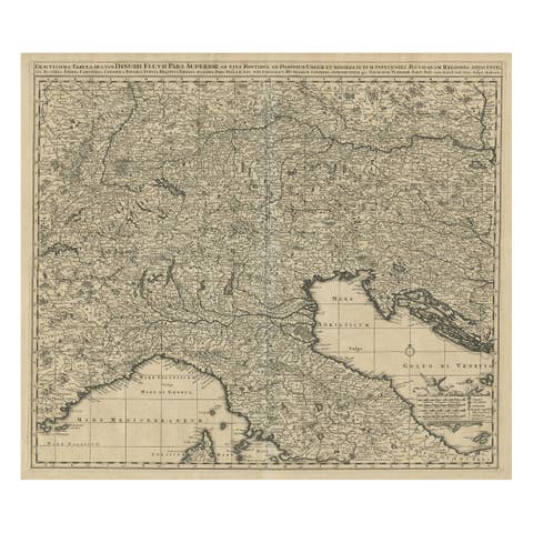
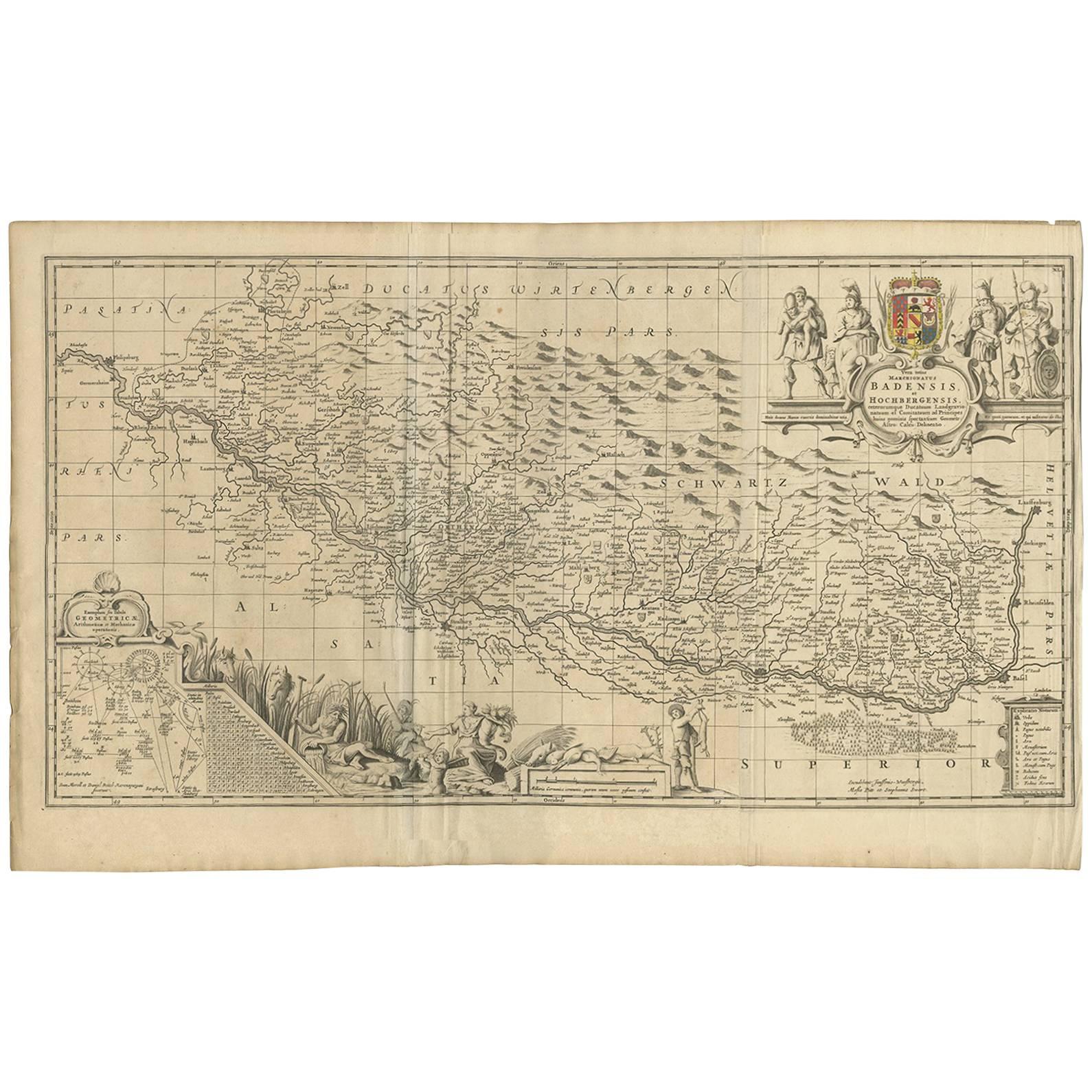
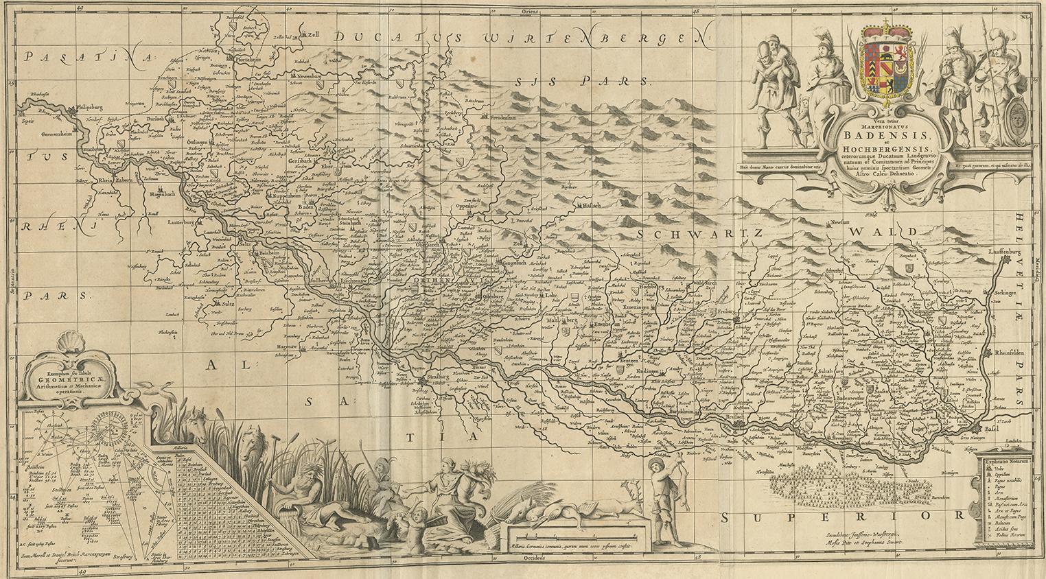
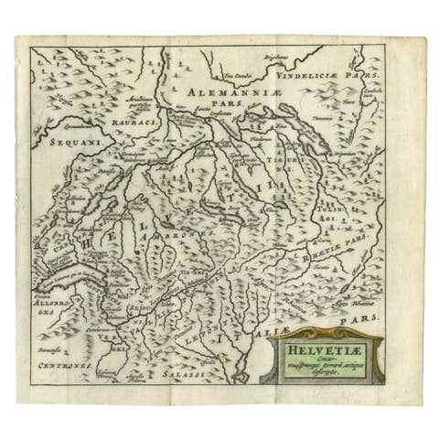
Antique Map of Switzerland by J. van Waesbergen, circa 1680

€ 820

One of a kind: this is the sheet in the photographs. Ships from Langweer, the Netherlands.

Date
1680
Sheet size
52.5 × 84.8 cm (20.7 × 33.4 in)
Condition
Good
Reference
BG-09158

Condition

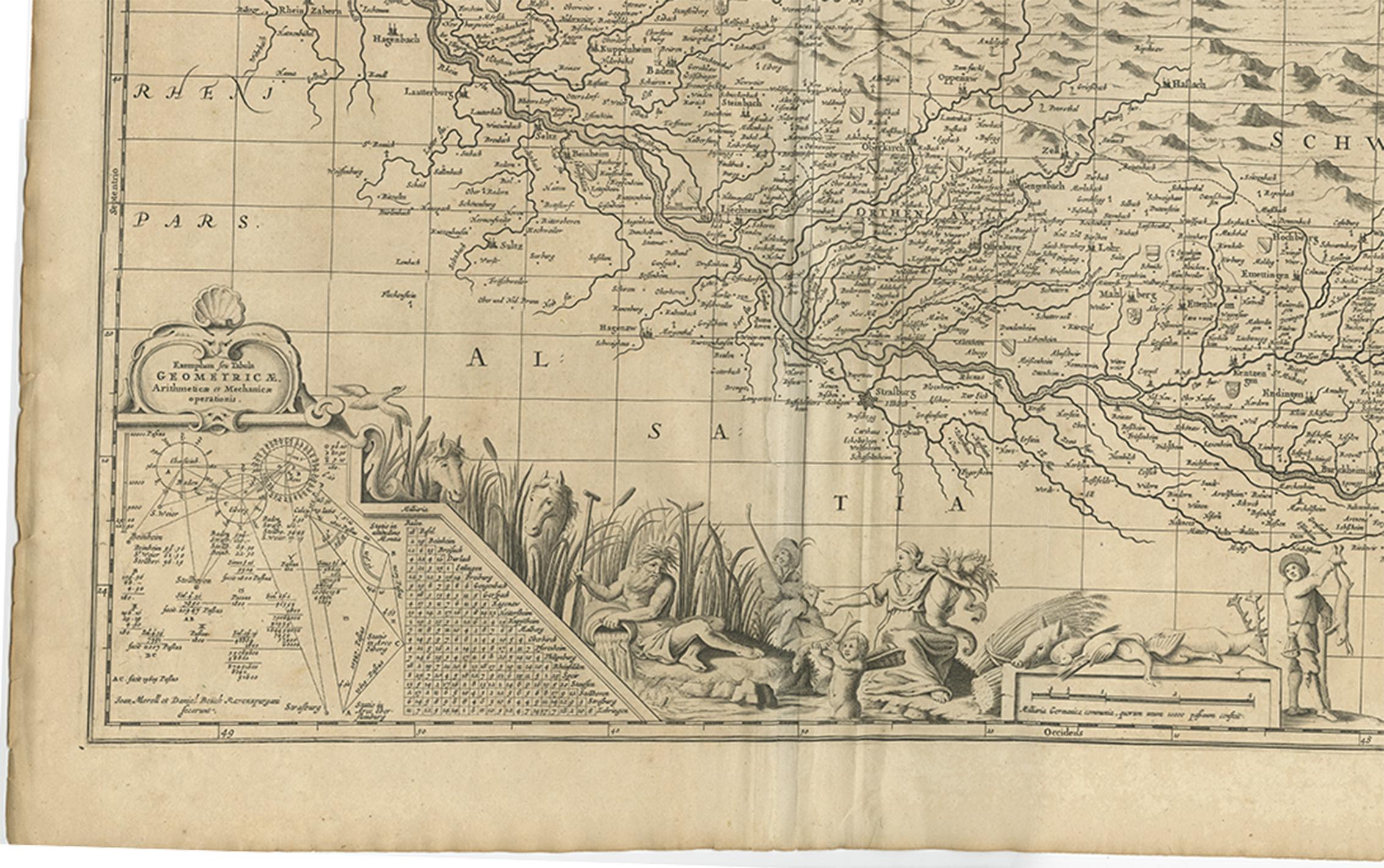
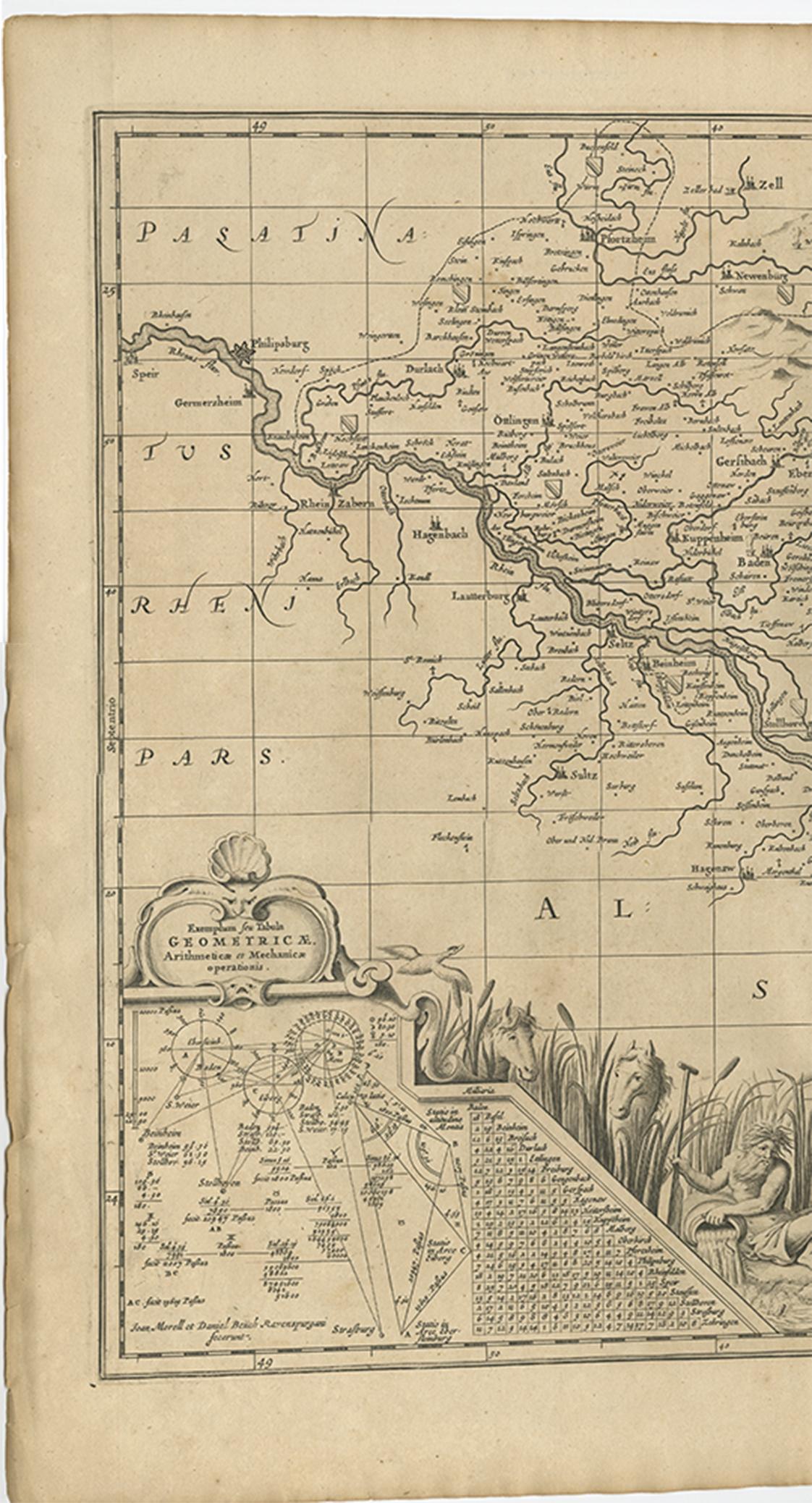
Minor fading. Please study image carefully.
About this sheet

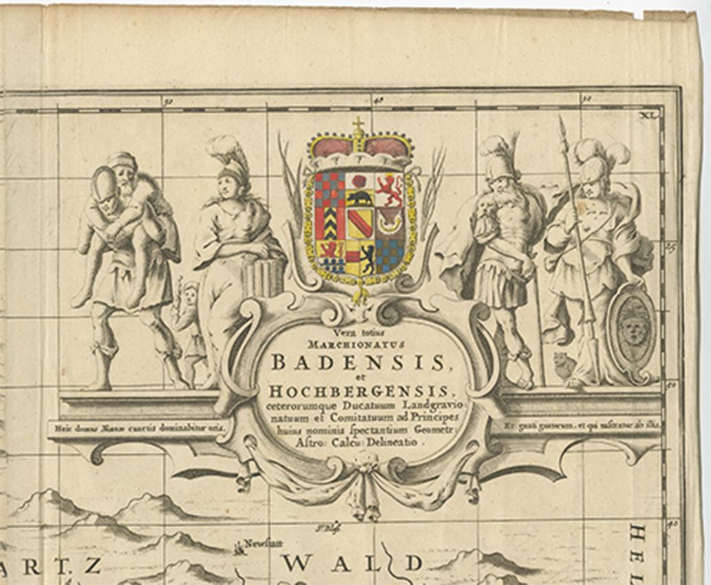
Antique map titled 'Vera totius marchionatus Badensis, et Hochbergensis ; ceterorumque ducatuum ladngravionatuum et comitatuum ad principes huius nominis spectantium geometr: astro: calcu: delineatio'. This map originates from "The English Atlas" by M. Pitt, S. Swart and J. Janssonius van Waesbergen (Oxford, 1680-1683).

More from Central Europe

Ask about this sheet

Antique Map of Switzerland by J. van Waesbergen, circa 1680
1680 · Ref. BG-09158 · € 820
We reply by email, usually within one working day.