About this sheet
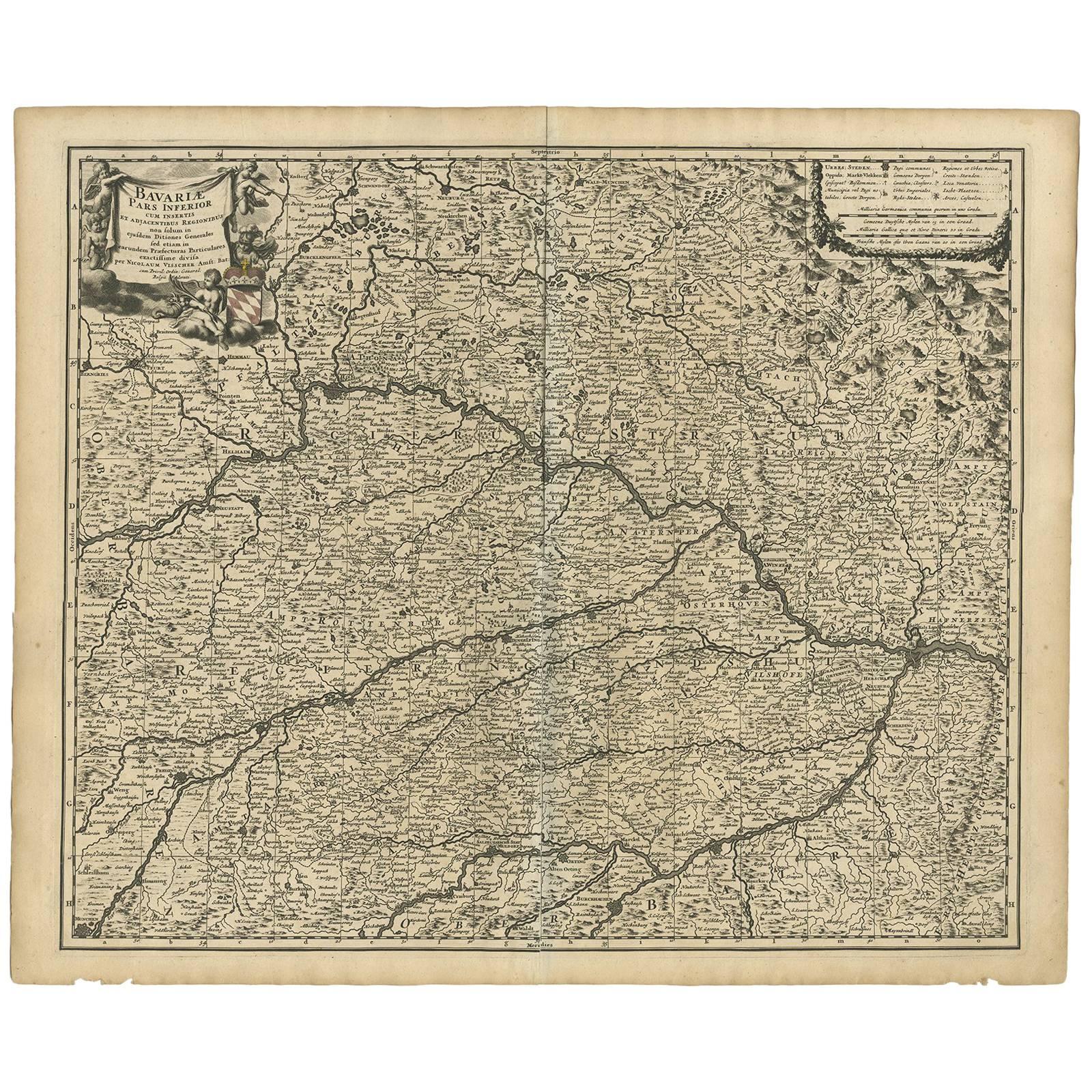
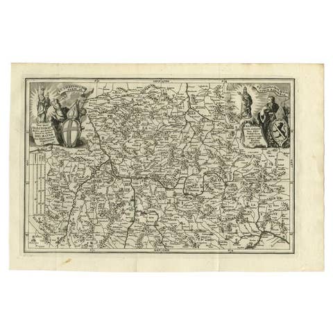
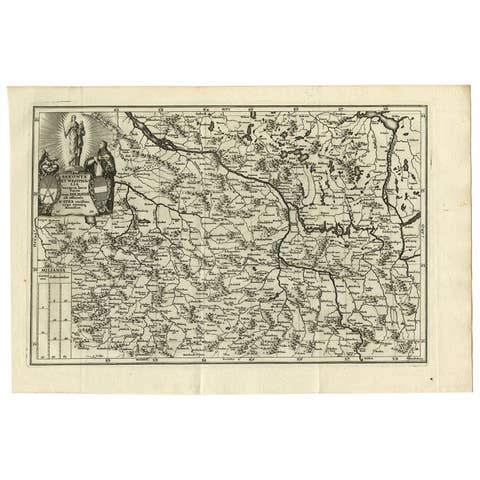
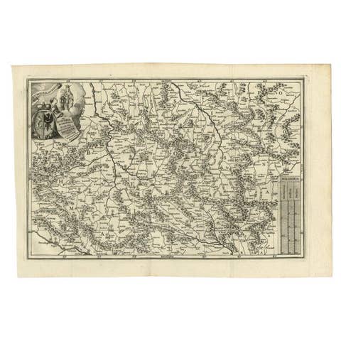
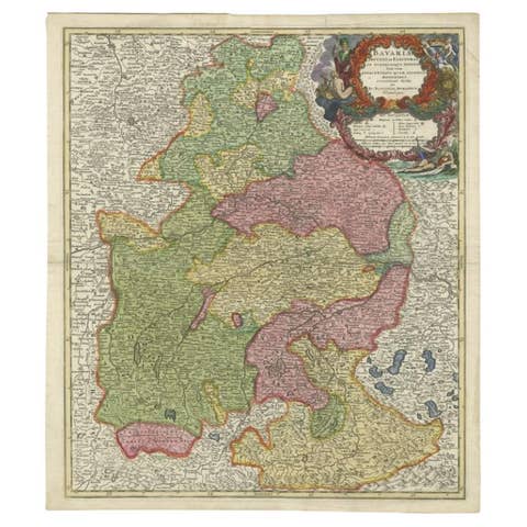
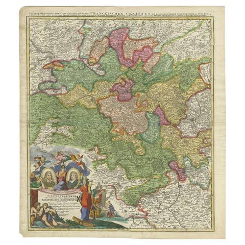
Antique map titled 'Bavariae pars inferior cum insertis et adjacentibus regionibus (..)'. Published circa 1700 in N. Visscher's World Atlas.
The map "Bavariae pars inferior cum insertis et adjacentibus regionibus," translates to "Lower Bavaria with the inserted and adjacent regions." It's a historical map that focuses on the Lower Bavaria region along with surrounding areas, likely published around 1700 in Nicolaes Visscher's World Atlas.
Nicolaes Visscher was a renowned Dutch cartographer and publisher known for his high-quality maps and atlases during the 17th century. His maps were often detailed and ornately decorated, reflecting the cartographic style of that era.
This particular map depicts the geographic boundaries, cities, towns, rivers, and other geographical features of the Lower Bavaria region during the late 17th century. Historical maps like these are valuable not only for their geographical information but also for their historical significance, providing insights into the political and cultural landscape of that period.
Maps from N. Visscher's World Atlas are often sought after by collectors, historians, and those interested in cartography for their accuracy, intricate details, and artistic embellishments that characterize the mapmaking style of the time.