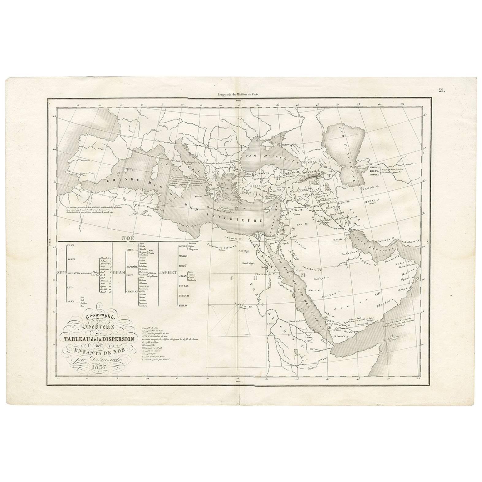
Géographie des Hébreux – Tableau de la Dispersion des Enfants de Noé, 1837
€ 240
One of a kind: this is the sheet in the photographs. Ships from Langweer, the Netherlands.
Date
1837
Technique
Engraved
Sheet size
33.3 × 48.5 cm (13.1 × 19.1 in)
Condition
Good
Reference
BG-09429
Condition
Good condition overall. Fold as issued. Light general age-toning and a few small marginal stains, but the printed surface remains clean and well-preserved. Strong impression on robust paper.
About this sheet
Géographie des Hébreux – Tableau de la Dispersion des Enfants de Noé, 1837
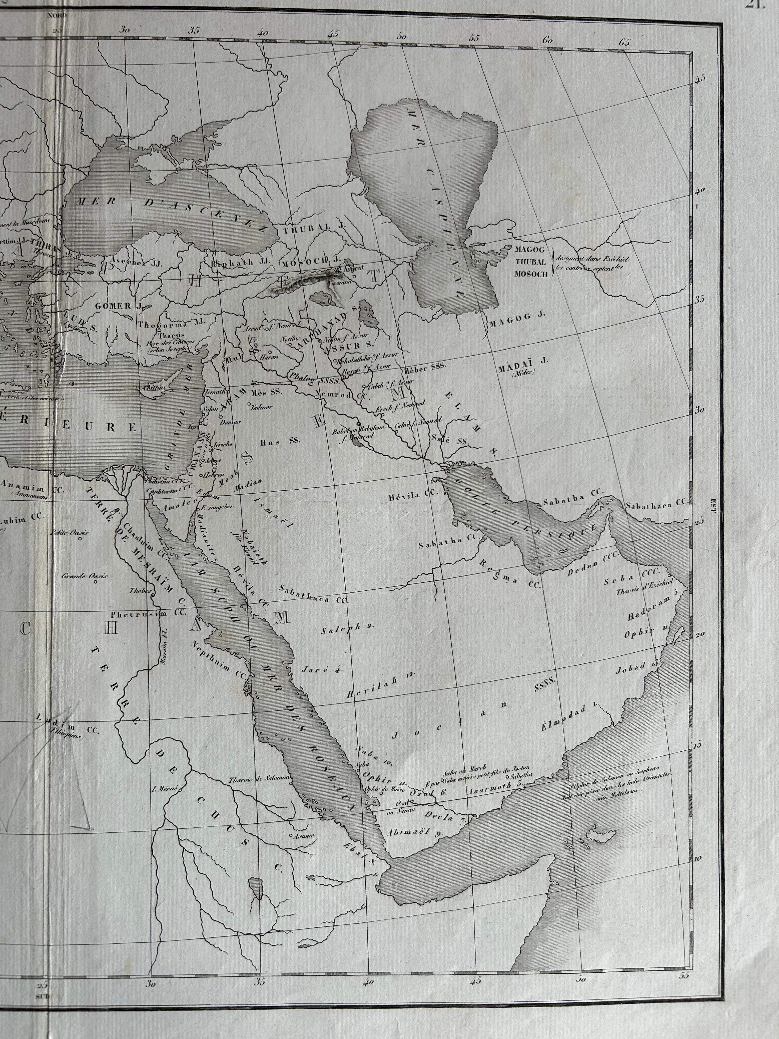
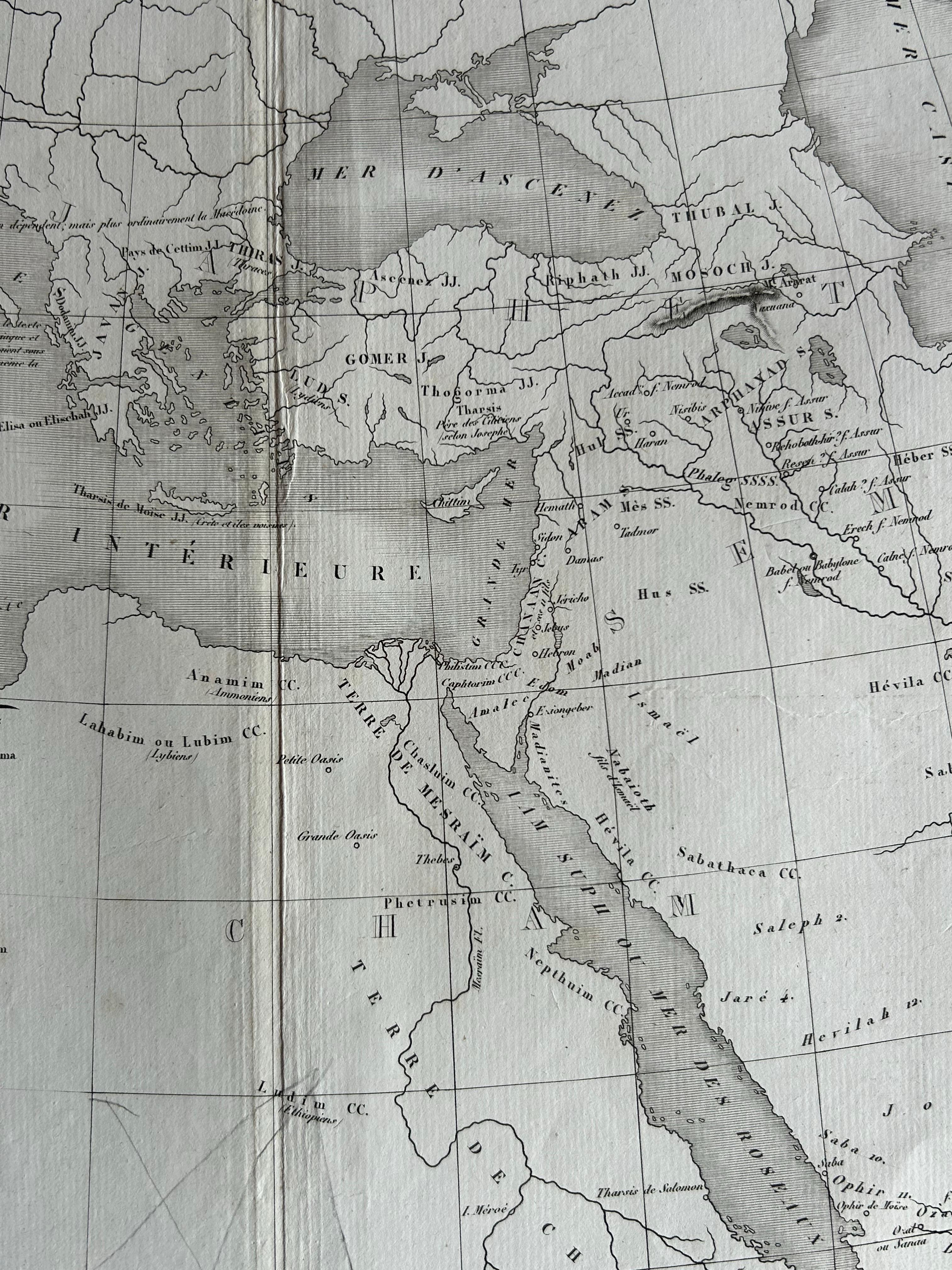
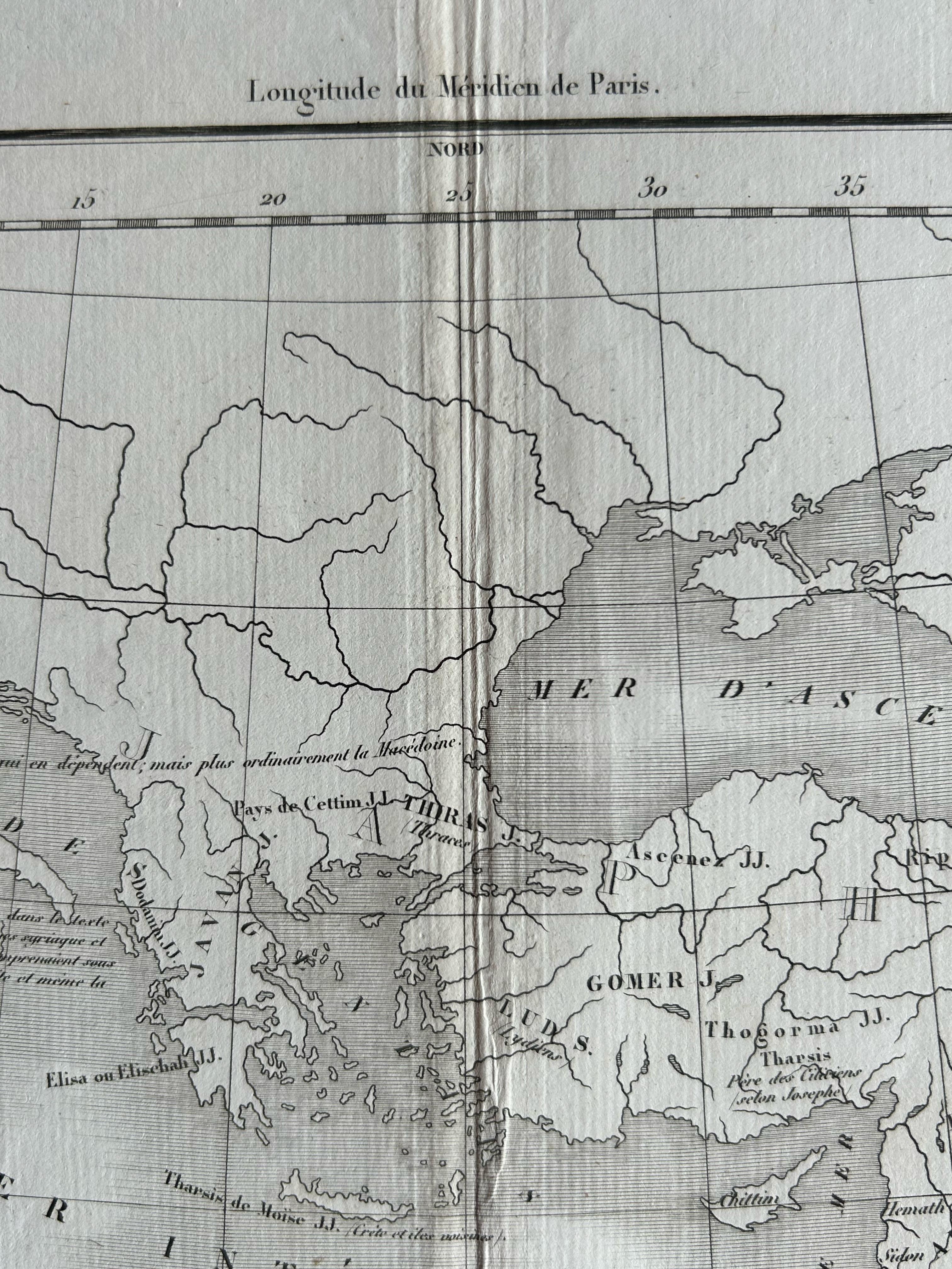
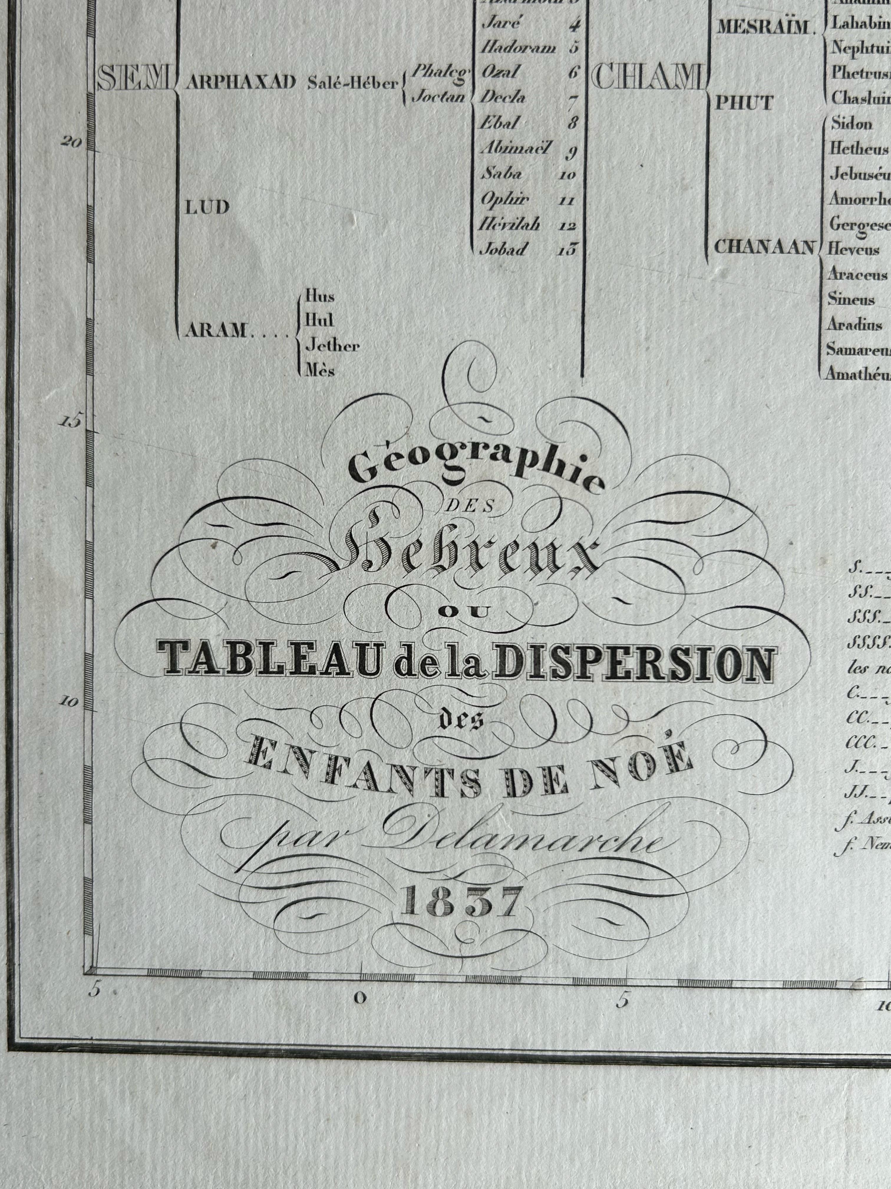
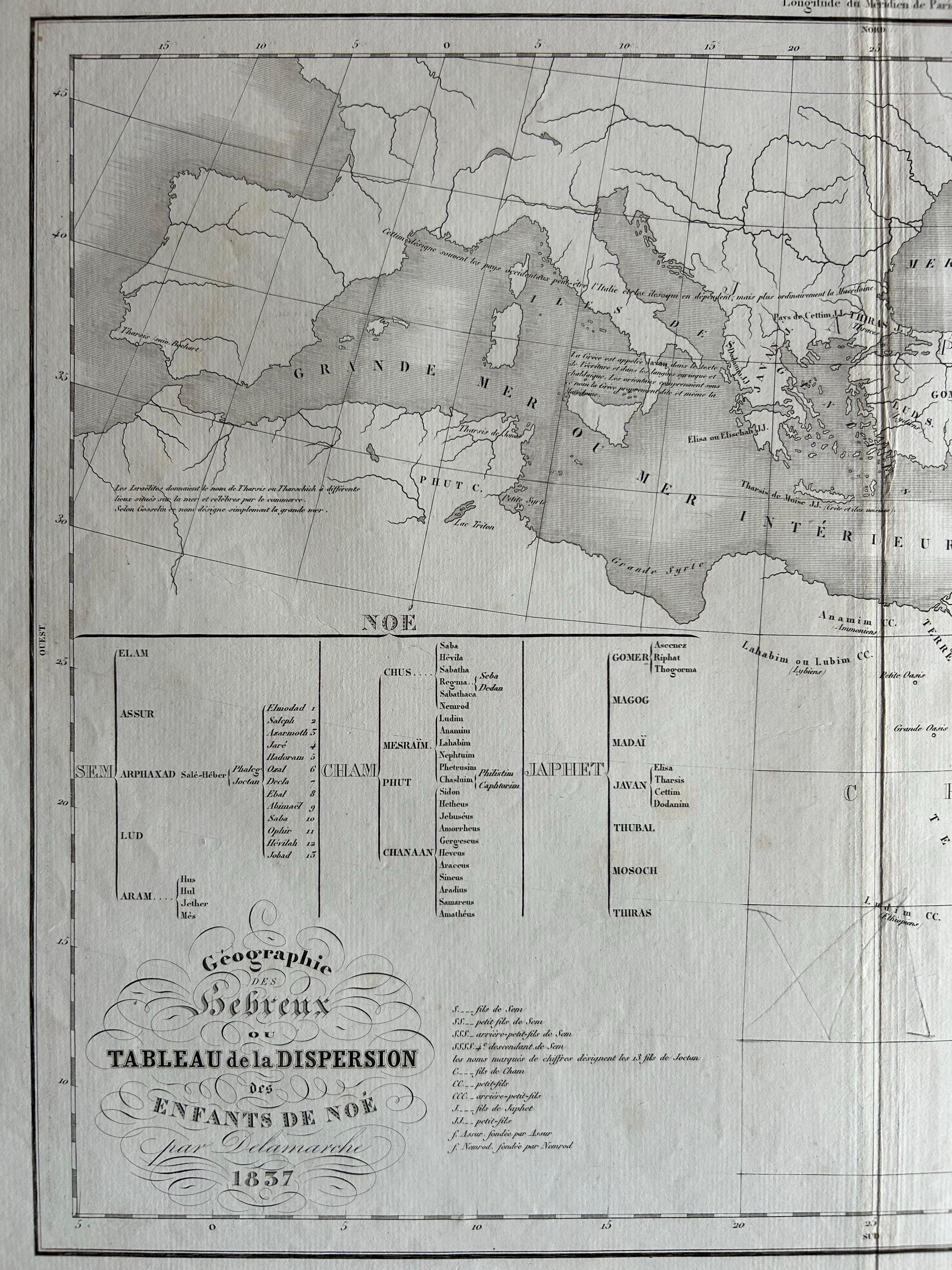
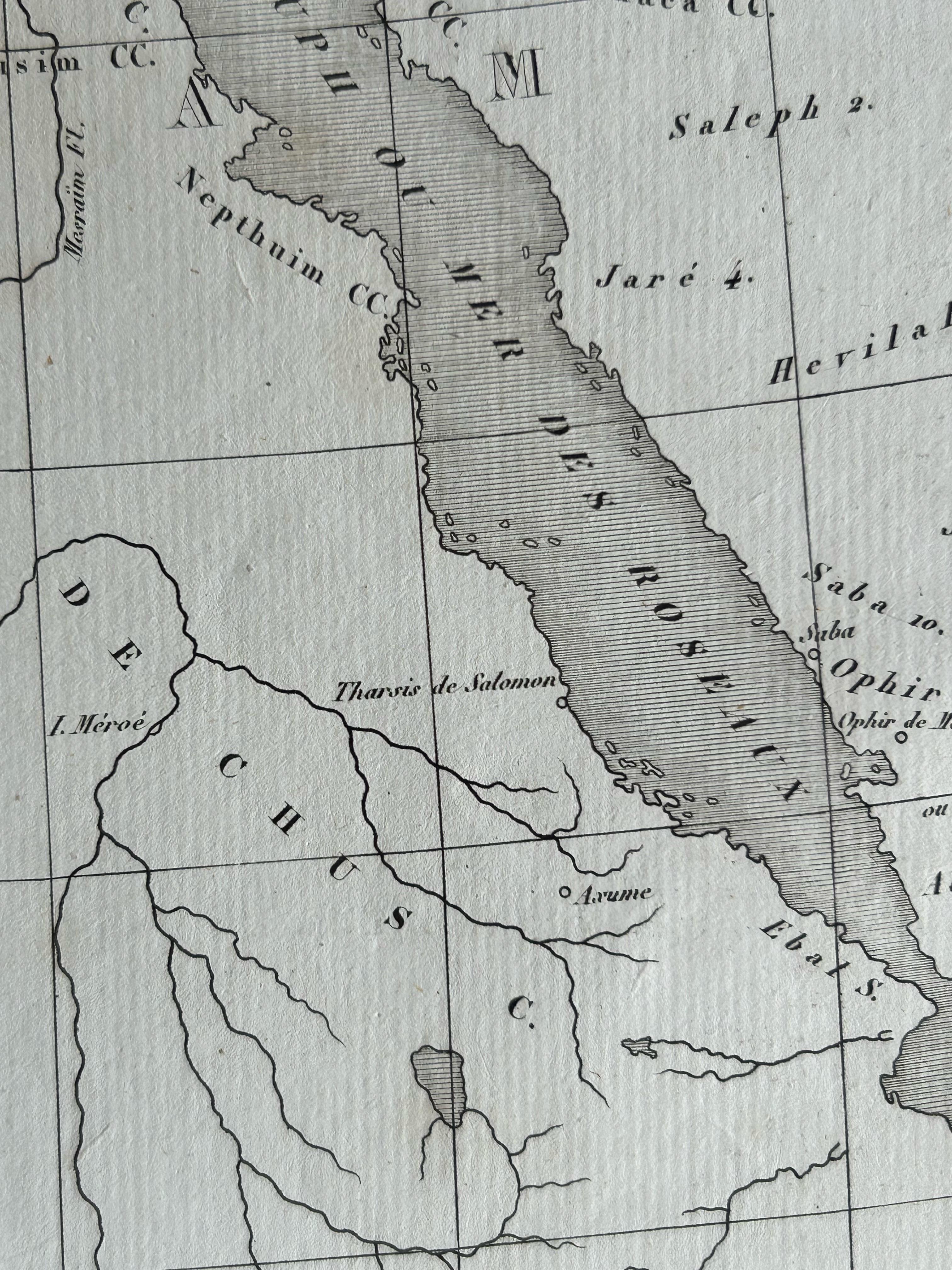
This antique map, titled Géographie des Hébreux ou Tableau de la Dispersion des enfants de Noé, offers a fascinating insight into biblical geography as it was understood in the early 19th century. Published in 1837 by Félix Delamarche as part of his Atlas De La Géographie Ancienne, the map presents the postdiluvian world according to Hebrew traditions. It depicts the dispersion of the sons of Noah—Shem, Ham, and Japheth—and their descendants across Europe, Asia, and parts of Africa following the events of the Great Flood.
What makes this map particularly captivating is its unique blend of biblical interpretation and early modern cartography. The lands inhabited by various tribes and peoples are laid out with clarity, accompanied by an informative genealogical chart tracing the lineages of Noah’s descendants. Prominent biblical regions such as Canaan, Mesopotamia, Media, and Egypt are clearly marked, offering viewers a window into the worldview of 19th-century biblical scholars and geographers.
The cartouche is elegantly composed, and the typography is in the classical style typical of French cartography from this era. Delamarche, a notable French geographer and publisher, was known for reissuing and refining the works of earlier mapmakers, and this map is a fine example of his commitment to combining scientific precision with educational purpose.
This print is an excellent addition to any collection of biblical maps, Judaica, or 19th-century cartography, and serves as both an aesthetic and scholarly artifact.
Condition: Good condition overall. Fold as issued. Light general age-toning and a few small marginal stains, but the printed surface remains clean and well-preserved. Strong impression on robust paper.
Framing tips: A classic frame in dark wood or black complements the historical subject. Use a warm off-white or parchment-colored mount to highlight the paper tone. A gold-line inner mount can bring out the fine lettering and embellishments in the cartouche.