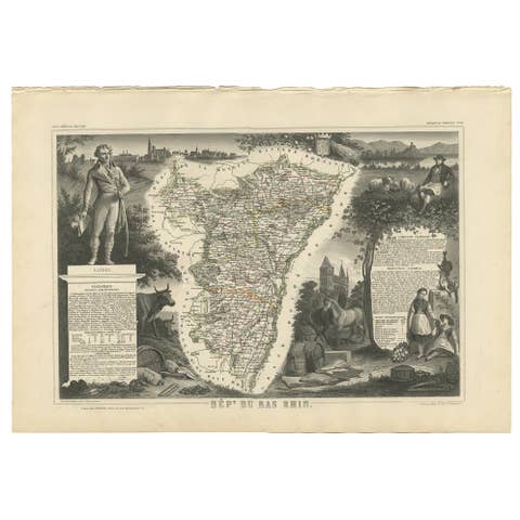
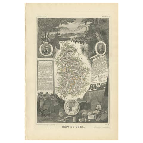
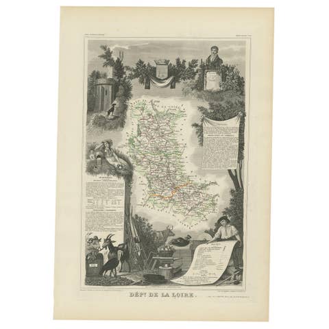
One of a kind: this is the sheet in the photographs. Ships from Langweer, the Netherlands.
Date
1854
Mapmaker / artist
Victor Levasseur (Artist)
Technique
Engraved
Sheet size
35.5 × 52.5 cm (14.0 × 20.7 in)
Condition
Good
Reference
BG-05614-33
Condition
General age-related toning. Please study image carefully.
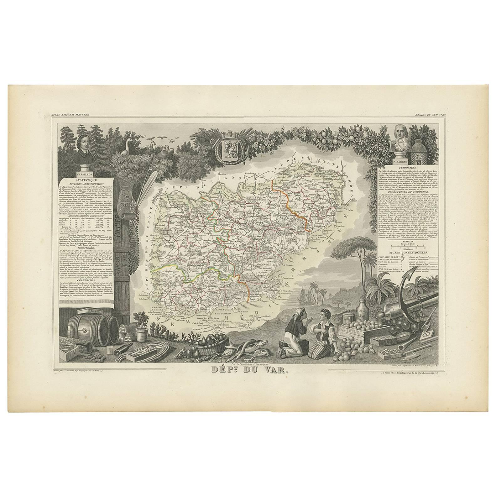
About this sheet
Antique map titled 'Dépt. du Var'. Map of the French department of Var, the heart of the French Riviera or Côte d'Azur. Includes the resort cities of Cannes, Nice and San Tropez, among many others. This area also houses a number of vineyards. Here you will find the AOC Coteaux varois en Provence, which produces a wide variety of reds and whites. The red wines principally use the grenache, cinsaut, mourvèdre and syrah grapes. White wines use the clairette, grenache blanc, Rolle blanc, Sémillon Blanc, and Ugni Blanc. The map is surrounded by elaborate decorative engravings designed to illustrate both the natural beauty and trade richness of the land. There is a short textual history of the regions depicted on both the left and right sides of the map. This map originates from ‘Atlas National de la France Illustré’. Published by A. Combette, Paris, 1854.