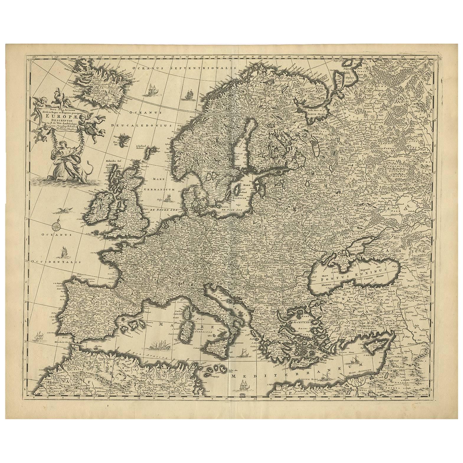
Grand Map of Europe by Frederick de Wit, Circa 1690: A Baroque Era Masterpiece.
€ 960
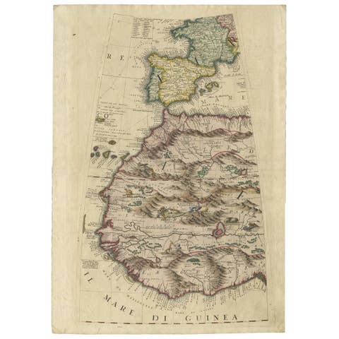
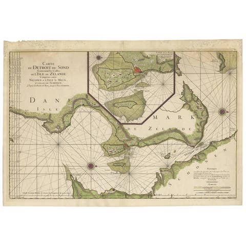
One of a kind: this is the sheet in the photographs. Ships from Langweer, the Netherlands.
Date
1690
Technique
Engraved
Sheet size
52.5 × 64 cm (20.7 × 25.2 in)
Condition
Good
Reference
BG-09180
Condition
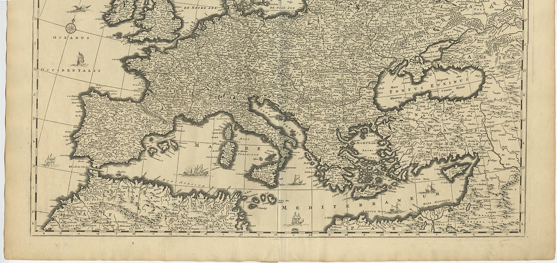
Minor fading. Please study image carefully. Minor imperfections and some light toning due to handling and age. Folding line the middle as issued.
About this sheet
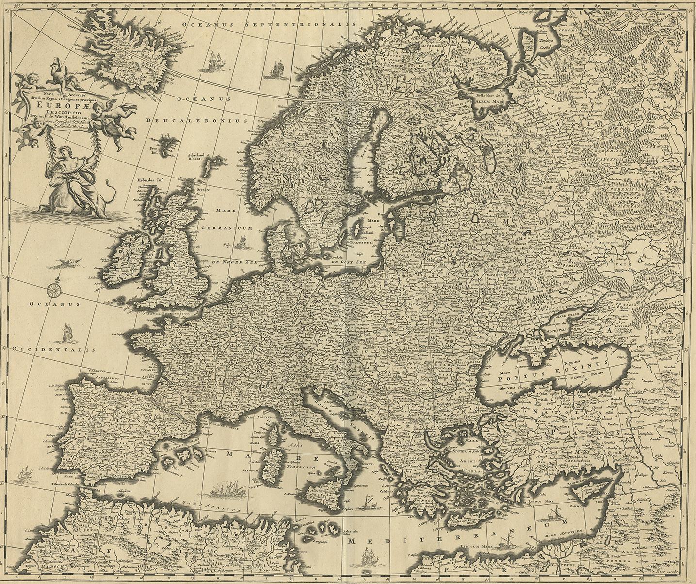
This is an attractive historical map of Europe created by Frederick de Wit, published around 1690. Here's a detailed description of the map and additional context about its creation:
Description of the Map:
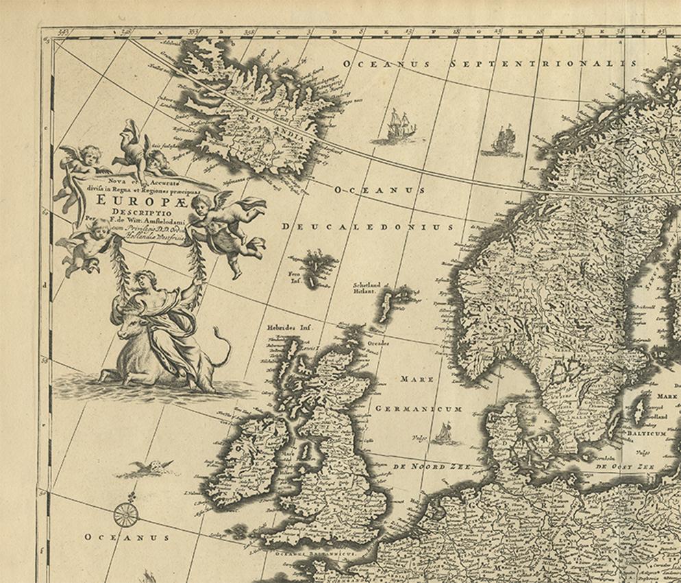
- Geographical Coverage: The map displays all of Europe, stretching from the Atlantic Ocean in the west to the Ural Mountains in the east. It includes parts of North Africa and the Middle East as well. - Details and Features: The map is highly detailed, showing numerous cities, towns, and geographical features such as rivers, mountains, and forests. The level of detail indicates a significant amount of cartographic knowledge for the time. - Decorative Elements: The map features a decorative cartouche in the top left corner. This cartouche includes the figure of "Europa" sitting on a bull, referencing the mythological story of Europa and the bull. This adds an artistic and mythological element to the map. - Sea Monsters and Ships: The map also includes various sea monsters and ships in the surrounding waters, a common decorative element in maps of this era, adding to its visual appeal and historical interest. - Borders and Countries: The borders of countries and regions are delineated, reflecting the political boundaries of the late 17th century.
About the Maker:
- **Frederick de Wit:** Frederick de Wit was a prominent Dutch cartographer and engraver in the 17th century. Born in 1630 and passing away in 1706, de Wit was known for his high-quality maps and atlases. - **Cartographic Contribution:** De Wit's work was highly regarded for its accuracy and artistic quality. His maps were detailed and often included decorative elements that made them both practical for navigation and attractive for display. - **Atlas:** This particular map of Europe by Frederick de Wit is from his atlas titled "Atlas Maior." This atlas was one of de Wit's most significant works, containing a collection of detailed maps covering various parts of the world. - **Publication Date:** The map was published around 1690, during the late Baroque period, a time when Dutch cartography was at its peak in terms of both scientific accuracy and artistic embellishment.
Summary: This map of Europe by Frederick de Wit from around 1690 is a highly detailed and decorative piece of cartography. It features artistic elements such as a mythological cartouche and sea monsters, reflecting the cartographic and artistic trends of the late 17th century. As part of de Wit's "Atlas Maior," it exemplifies the blend of scientific knowledge and artistic craftsmanship characteristic of Dutch cartography during this period.