About this sheet
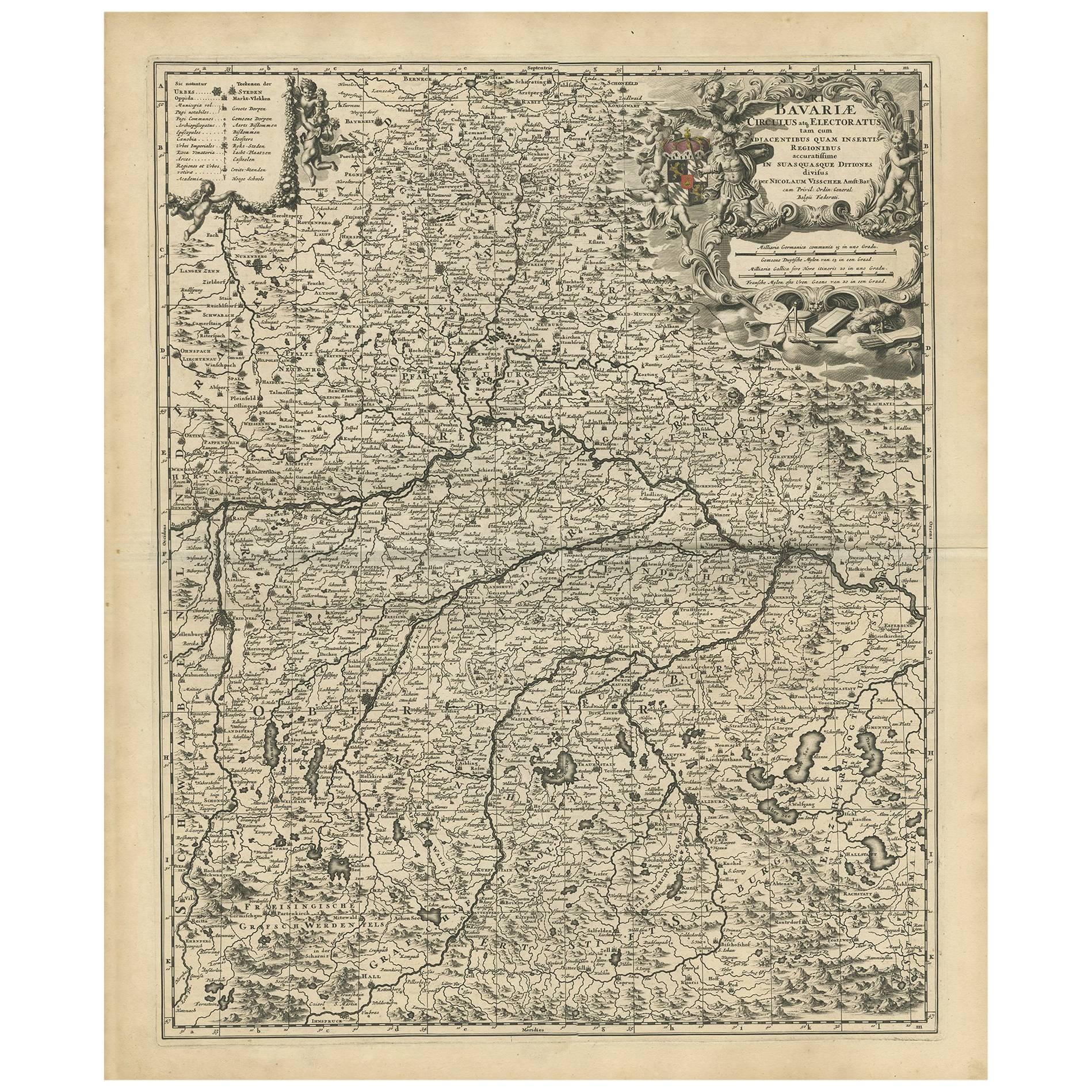
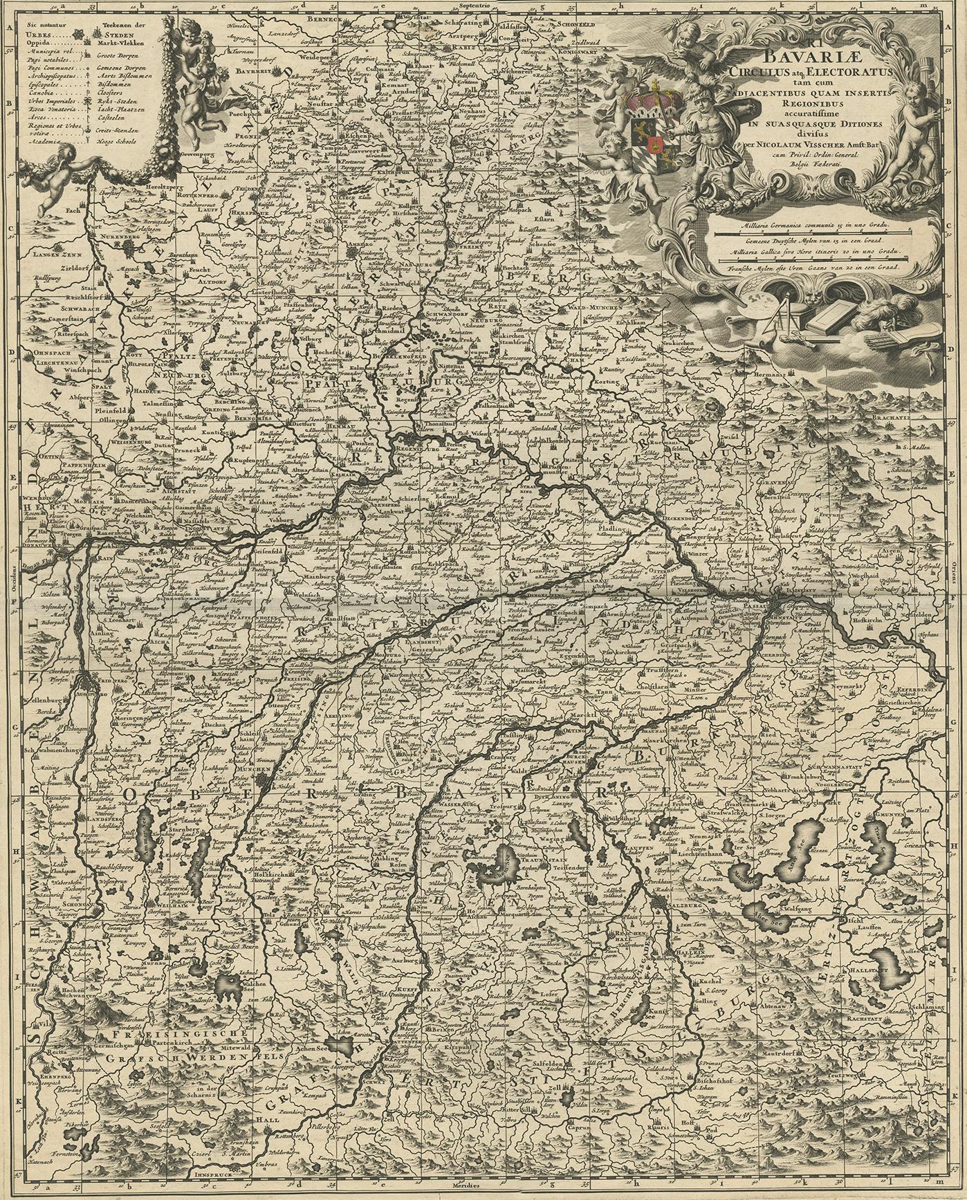
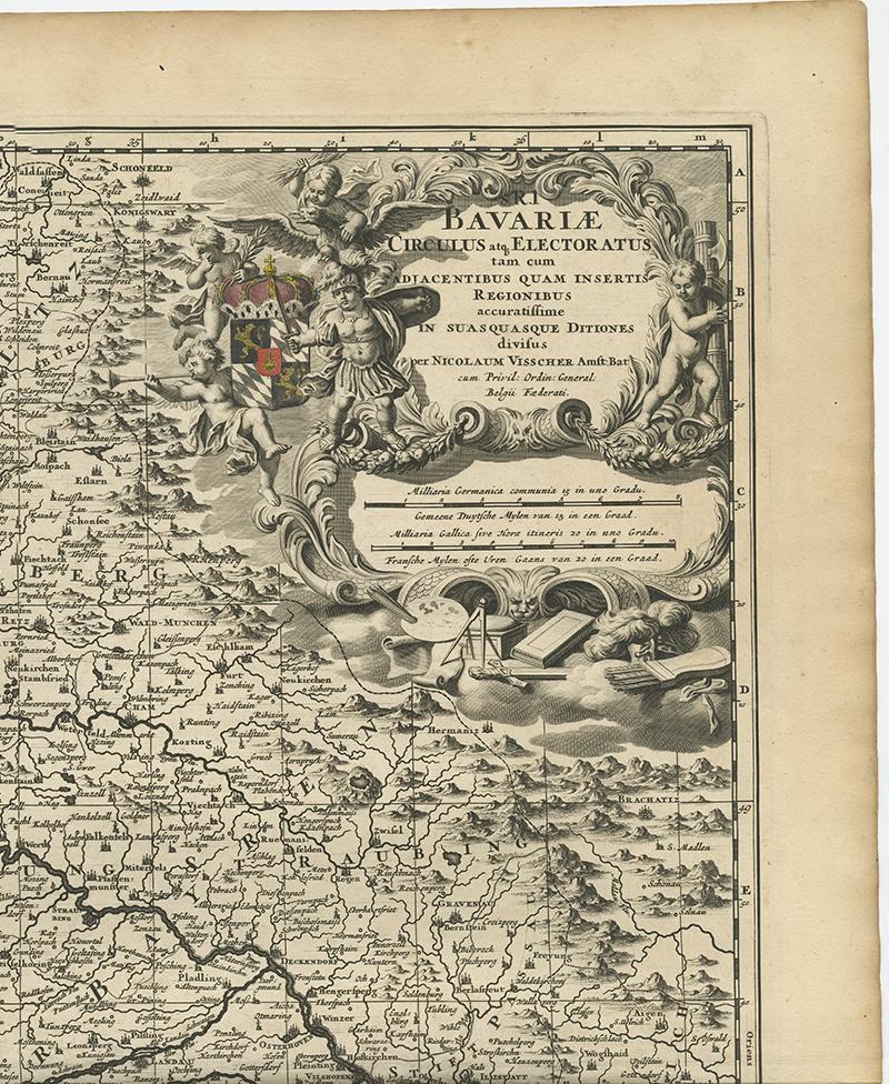
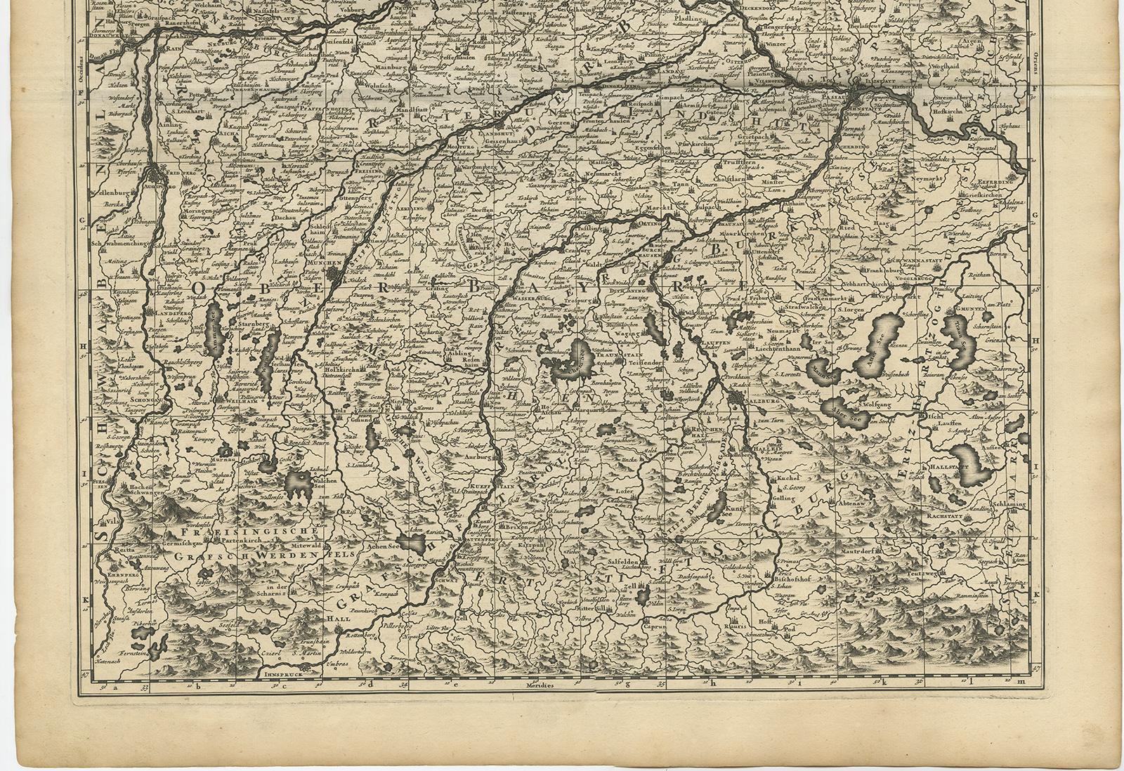
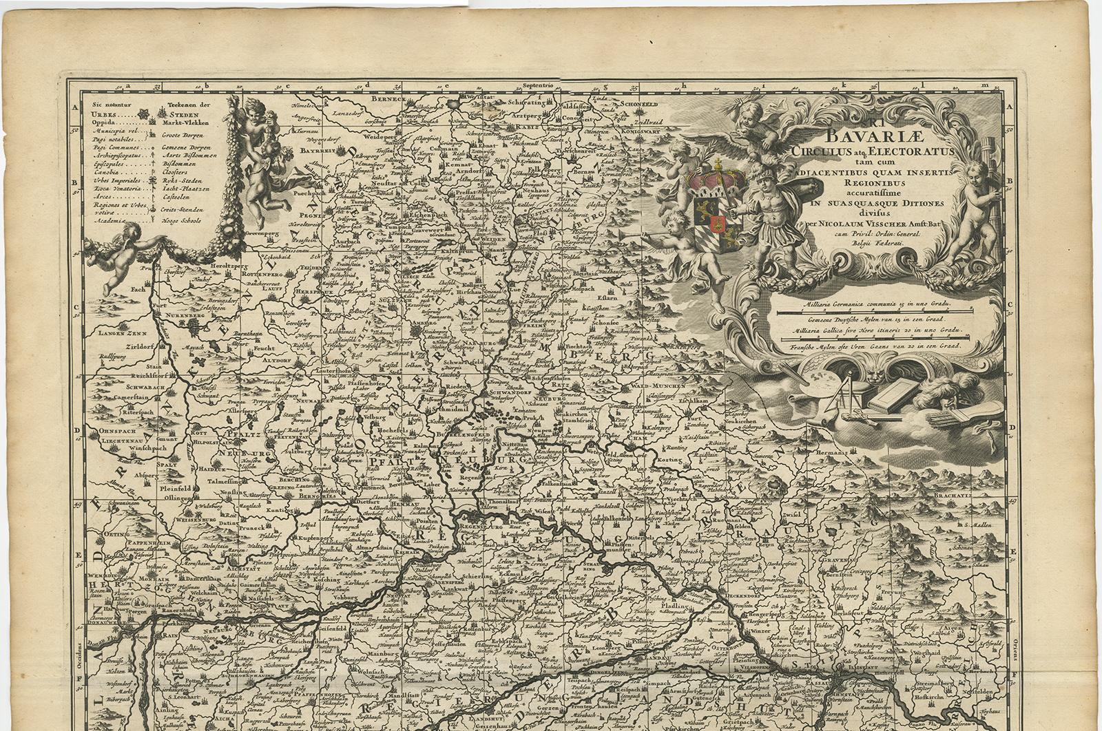
Antique map titled 'Bavariae Circulus atq Electoratus tam cum Adiacentibus quam insertis Regionibus (..)'. Dutch map of Bavaria, showing the many cities, towns, and other features of this historically-significant part of Germany. The map stretches south to Innsbruck and north to Amberg. Also shown are Munich, Salzburg, Augsburg, and Regensburg. Many rivers, mountains, and forests are all shown. Published by N. Visscher.
The Visscher family were art and map dealers in Amsterdam during the 17th century. Funded by C. J. Visscher (1587-1652), the business was continued by his son and grandson both named Nicolas. Nicolas Visscher I was born 1618 in Wenns, Austria. He died 1679 in Linz. After the death of Nicolas II, his widow passed the business to Pieter Schenk.