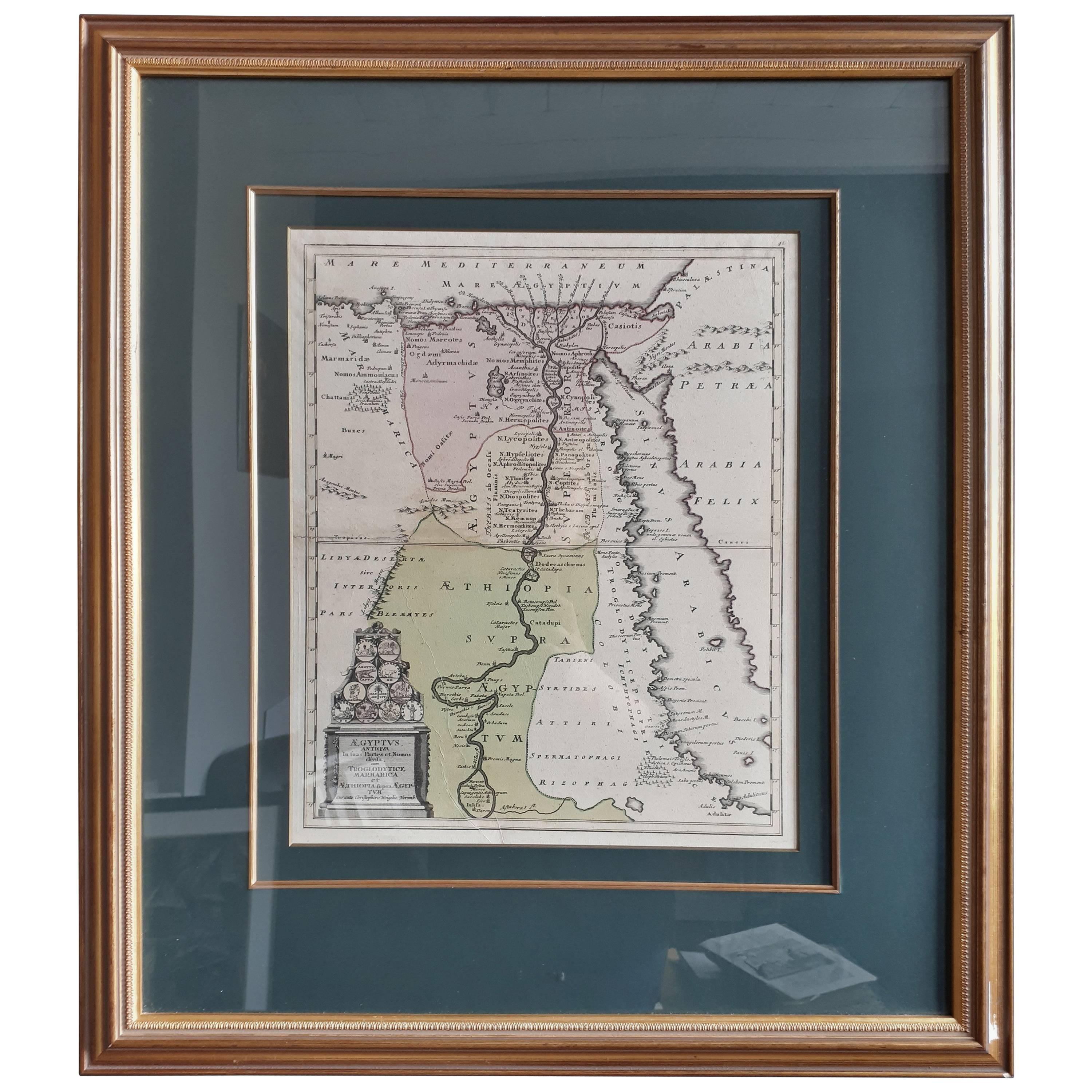
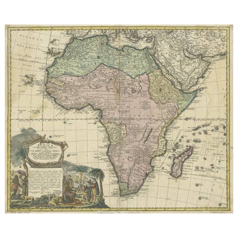
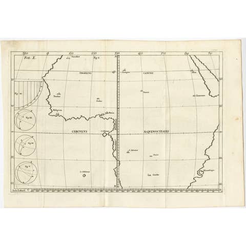
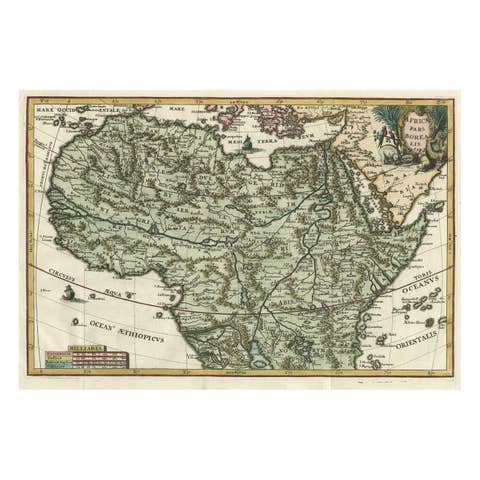
Original Antique Map of Egypt in Frame by C. Weigel, circa 1720
€ 975
One of a kind: this is the sheet in the photographs. Ships from Langweer, the Netherlands.
Date
1720
Technique
Engraved
Sheet size
70 × 62 cm (27.6 × 24.4 in)
Condition
Good
Reference
BG-08056
Condition
General age-related toning. Frame included, please study image carefully.
About this sheet
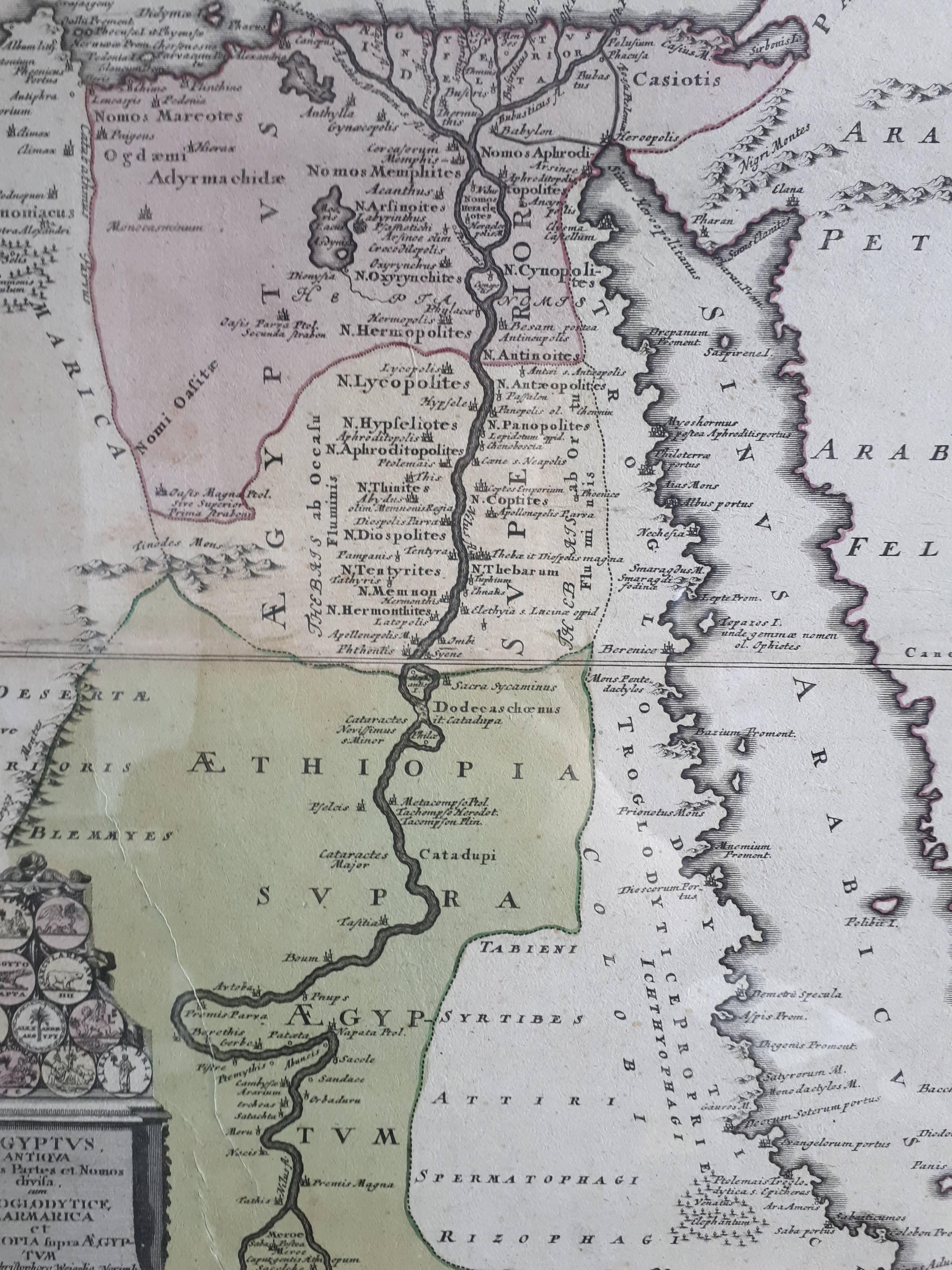
The map is an antique depiction of ancient Egypt, divided into its regions and nomes, also including areas like Troglodytica, Marmarica, and Ethiopia above Egypt. Christophorus Weigelius -or Wiegel- curated the map, which was included in the atlas "Descriptio orbis antiqui in XLIV," around 1720.
It represents a detailed cartographic record from the early 18th century, illustrating the geographical understanding of Egypt and its surrounding territories at the time.