
Maps & PrintsBartele Gallery · Langweer
Home / Antique Maps / Europe / Western Europe / Germany

Germany · 17th century

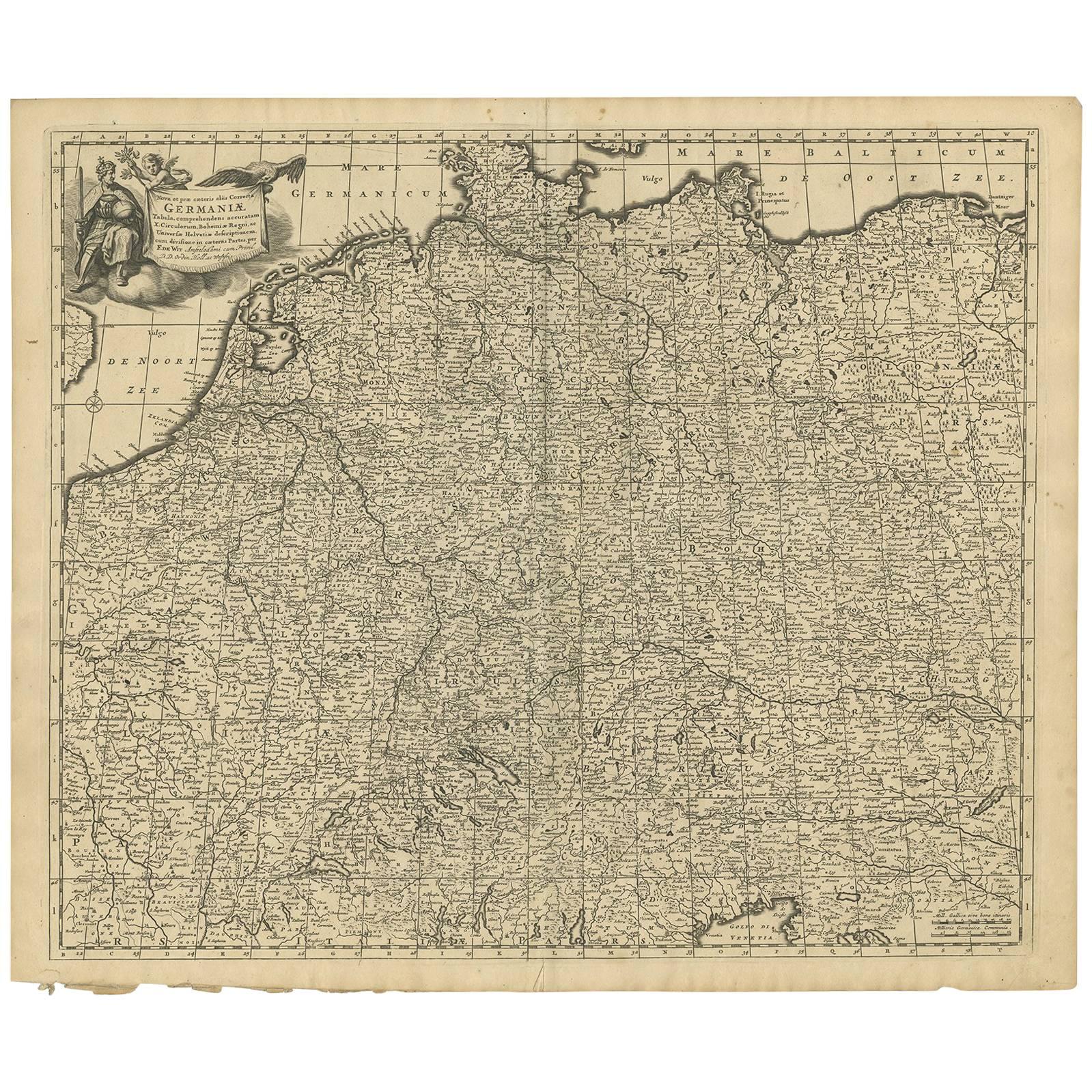
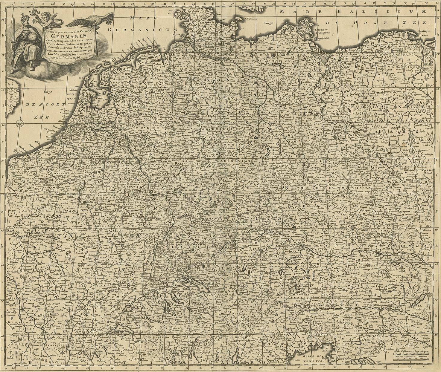
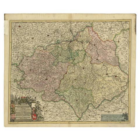
Antique Map of Central Europe "Centered on Germany" by F. de Wit, circa 1680

€ 850

One of a kind: this is the sheet in the photographs. Ships from Langweer, the Netherlands.

Date
1680
Sheet size
52.5 × 62 cm (20.7 × 24.4 in)
Condition
Good
Reference
BG-09154

Condition

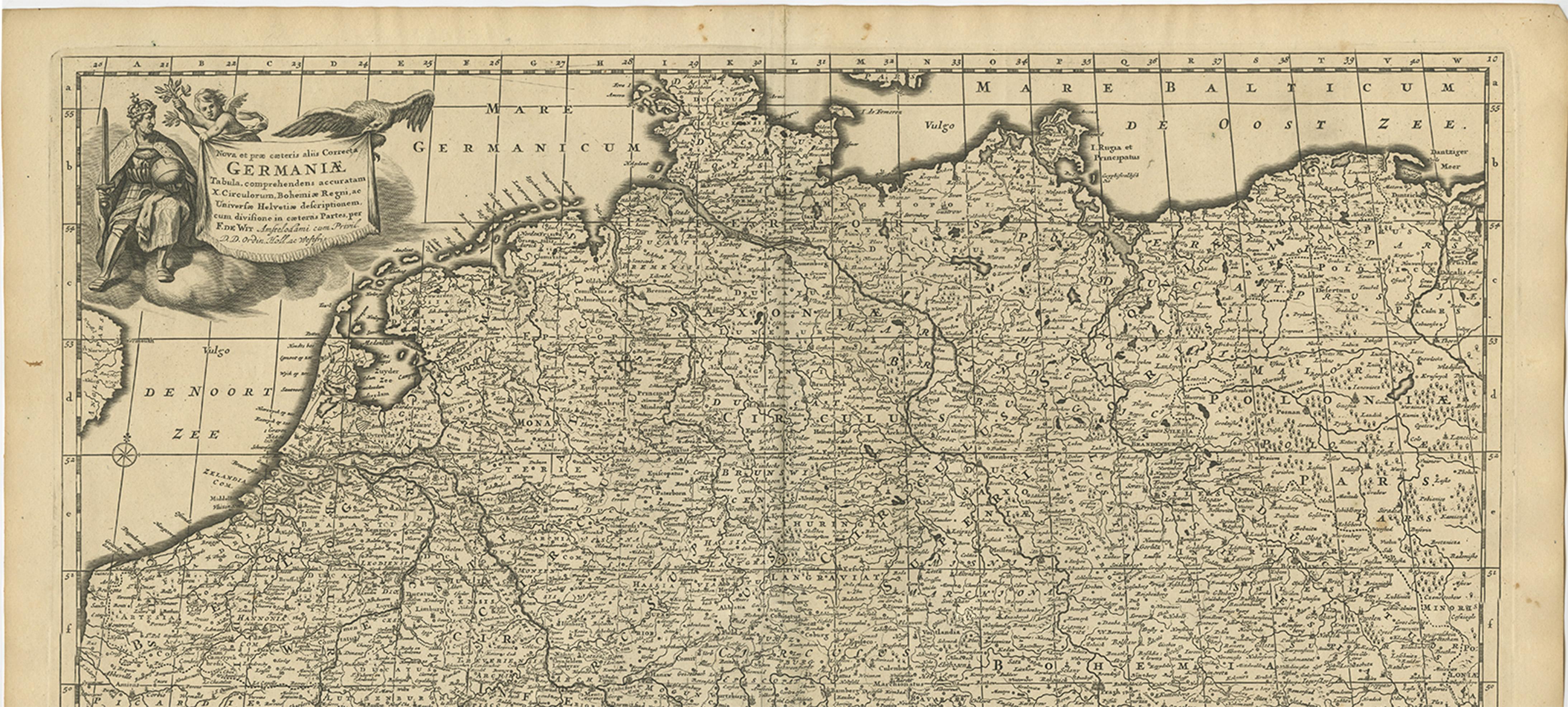
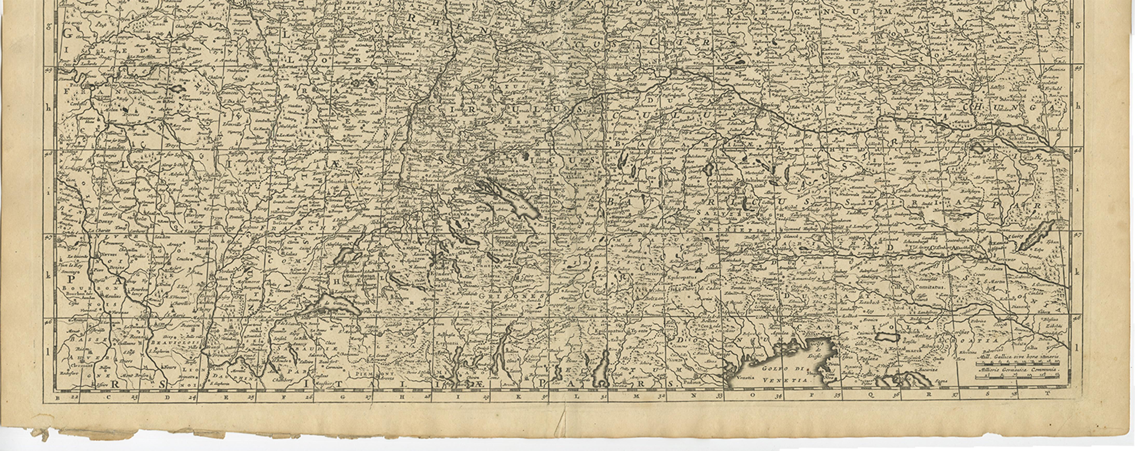
Some small marginal tears. Please study image carefully.
About this sheet

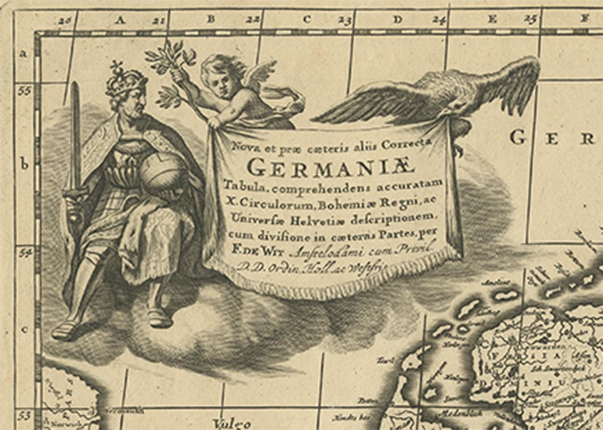
A very detailed map of central Europe, centered on Germany. It extends from Belgium and The Netherlands through Pomerania in the north, and from eastern France to Croatia in the south. The map is embellished with a title cartouche featuring a knight, an eagle and putti.

Published by F. de Wit, Amsterdam, circa 1680.

More from Germany

Ask about this sheet

Antique Map of Central Europe "Centered on Germany" by F. de Wit, circa 1680
1680 · Ref. BG-09154 · € 850
We reply by email, usually within one working day.